The best cycling routes in Wildseemoor (Bannwald)
4.6
(1894)
14,573
riders
184
rides
Touring cycling in Wildseemoor (Bannwald) offers a diverse landscape characterized by dense forests, open moorland, and varied elevations. The region, a designated Bannwald (protected forest), features well-maintained paths suitable for bicycles. Riders can expect a mix of gentle gradients across moorland and more challenging climbs through wooded areas. This environment provides a natural setting for exploring on two wheels.
Best touring cycling routes in Wildseemoor (Bannwald)
- The most popular touring cycling route is Swing at Döbler View – Boardwalk to…
Last updated: July 5, 2026
4.7
(17)
101
riders
24.3km
02:00
300m
300m
Moderate bike ride. Good fitness required. Mostly paved surfaces. Suitable for all skill levels.
4.5
(6)
76
riders
14.0km
01:09
160m
160m
Moderate bike ride. Good fitness required. Mostly paved surfaces. Suitable for all skill levels.

Sign up for free
4.5
(6)
46
riders
17.9km
01:33
240m
230m
Moderate bike ride. Good fitness required. Mostly paved surfaces. Suitable for all skill levels.
4.8
(13)
59
riders
28.3km
02:19
310m
310m
Moderate bike ride. Good fitness required. Mostly paved surfaces. Suitable for all skill levels.
4.4
(19)
101
riders
47.8km
04:17
580m
580m
Hard bike ride. Very good fitness required. Mostly paved surfaces. Suitable for all skill levels.
Get access to more routes and recommendations from other explorers.
Sign up for free
Already have an account?
Our route recommendations are based on thousands of hikes, rides, and runs completed by other people on komoot.
Start today with a free account
Your next adventure awaits.
Login or Signup

Tips from the Community

The Baumwipfelpfad Schwarzwald is a 1250 m long treetop path on the Sommerberg west of Bad Wildbad in the district of Calw, Baden-Württemberg, at an altitude of approximately 750 m above sea level (NHN), and was built according to plans by the Schönberg architect Josef Stöger. The facility, opened in 2014, offers knowledge about the forest and its wildlife at various information stations, as well as an observation tower. It is operated by the company Erlebnis Akademie AG. The entrance to the path can be reached from the mountain station of the Sommerbergbahn via the Emmaweg or from the public car park via a zigzag path. The treetop path extends over a length of approximately 636 m and a height above the ground between about 4 and 20 m. It follows the terrain with a constant gentle incline and offers various didactic and experience stations such as balance beams or wobbly elements. In addition, there are 15 comic panels along the path, which are intended to provide excitement and convey knowledge, especially to children, as part of a treetop path comic rally. The entire path, including the ramp access in the observation tower, is barrier-free and reaches a maximum gradient of 6%. At the end of the path, you reach a 38.5 m high observation tower, which is mainly made of wood and, due to the arrangement of the twelve doubly inclined, glued laminated main supports, looks like a large twisted cup. The supports are arranged rotationally symmetrically at the same distance from each other and are inclined both outwards and clockwise laterally. They are connected by steel tubes, multiple cross-braced, and partially protected from the weather by sheet metal cladding. The access from the path into the tower takes place at a height of about five meters at the second winding of the 614 m long access ramp, which runs within the support columns, and which, after a total of nine windings, reaches the twelve-sided, approximately ring-shaped observation platform. This is attached to the outside of the supports with steel cantilevers and offers a view far into the Black Forest, the Rhine Valley, and the Swabian Jura. Orientation arrows to visible destinations and to the other treetop paths of the operating company are attached to the parapet. At a height of 25 m, between the access ramp and a central steel tube support in the middle of the tower, there is a triangular platform, from which a 55 m .....
0
0

In some pictures, a small wooden hut can be seen. Unfortunately, it burned down. Maybe a new one will be built; that would be nice.
2
0

On the Sommerberg, the northern Black Forest is revealed from a reverse perspective along a 1.2 km stretch. The tour culminates at the observation tower, 40 meters high, offering a spectacular 360-degree view over the endless forests and impressive valleys of the Black Forest. Those who wish can slide down the tower for €2.
1
0

from the Gompelscheuer hiking parking lot via the Kaltenbachsee to the Poppelsee
0
0

Up here you have a great view over Besenfeld.
0
0


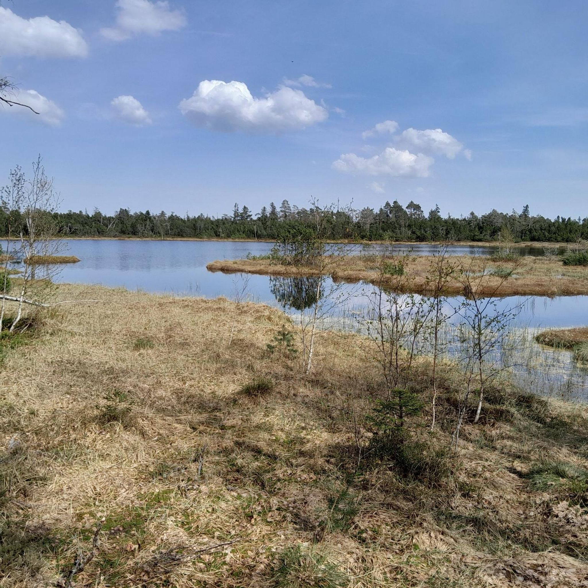
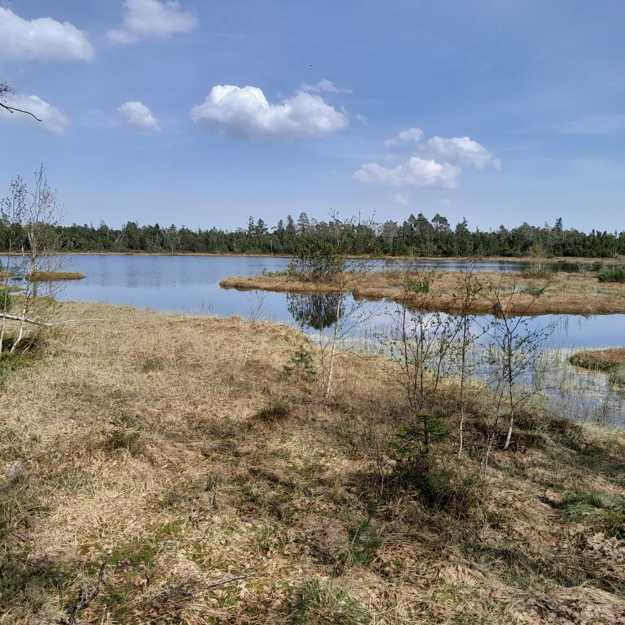
Wide open spaces in good weather
0
0
Frequently Asked Questions
What are the typical difficulty levels for touring cycling routes in Wildseemoor (Bannwald)?
Wildseemoor (Bannwald) offers a range of touring cycling routes suitable for various skill levels. You'll find approximately 20 easy routes, 50 moderate routes, and 108 more challenging routes. The terrain includes gentle gradients across moorland and more demanding climbs through wooded areas, providing options for everyone from beginners to experienced cyclists.
Are there any easy touring cycling routes suitable for beginners or families in Wildseemoor (Bannwald)?
Yes, Wildseemoor (Bannwald) has around 20 easy touring cycling routes, many of which are suitable for beginners and families. These paths often feature well-maintained surfaces and gentler gradients, allowing for a relaxed exploration of the protected forest and moorland landscapes. Look for routes with lower elevation gains and shorter distances.
What kind of scenic viewpoints can I expect on touring cycling routes in Wildseemoor (Bannwald)?
The region offers several scenic viewpoints. For instance, the route Swing at Döbler View – Boardwalk to Wildsee loop from Kaltenbronn includes the Swing at Döbler View, providing picturesque vistas. Other routes, like View over the Black Forest – Boardwalk to Wildsee loop from Kaltenbronn, offer expansive views over the Black Forest landscape.
Are there any circular touring cycling routes in Wildseemoor (Bannwald)?
Yes, many touring cycling routes in Wildseemoor (Bannwald) are designed as loops, allowing you to start and end at the same point. Examples include the popular Swing at Döbler View – Boardwalk to Wildsee loop from Kaltenbronn and the Schwarzmiss Pass summit – Weissenstein Hut loop from Schwarzmiss. These circular routes are convenient for exploring the diverse landscape.
What are some notable natural attractions to see while cycling in Wildseemoor (Bannwald)?
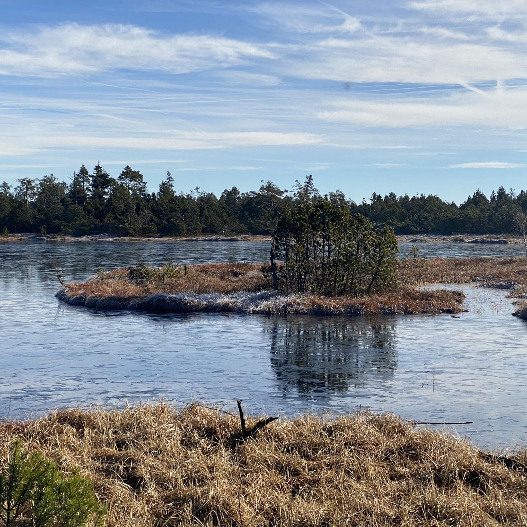
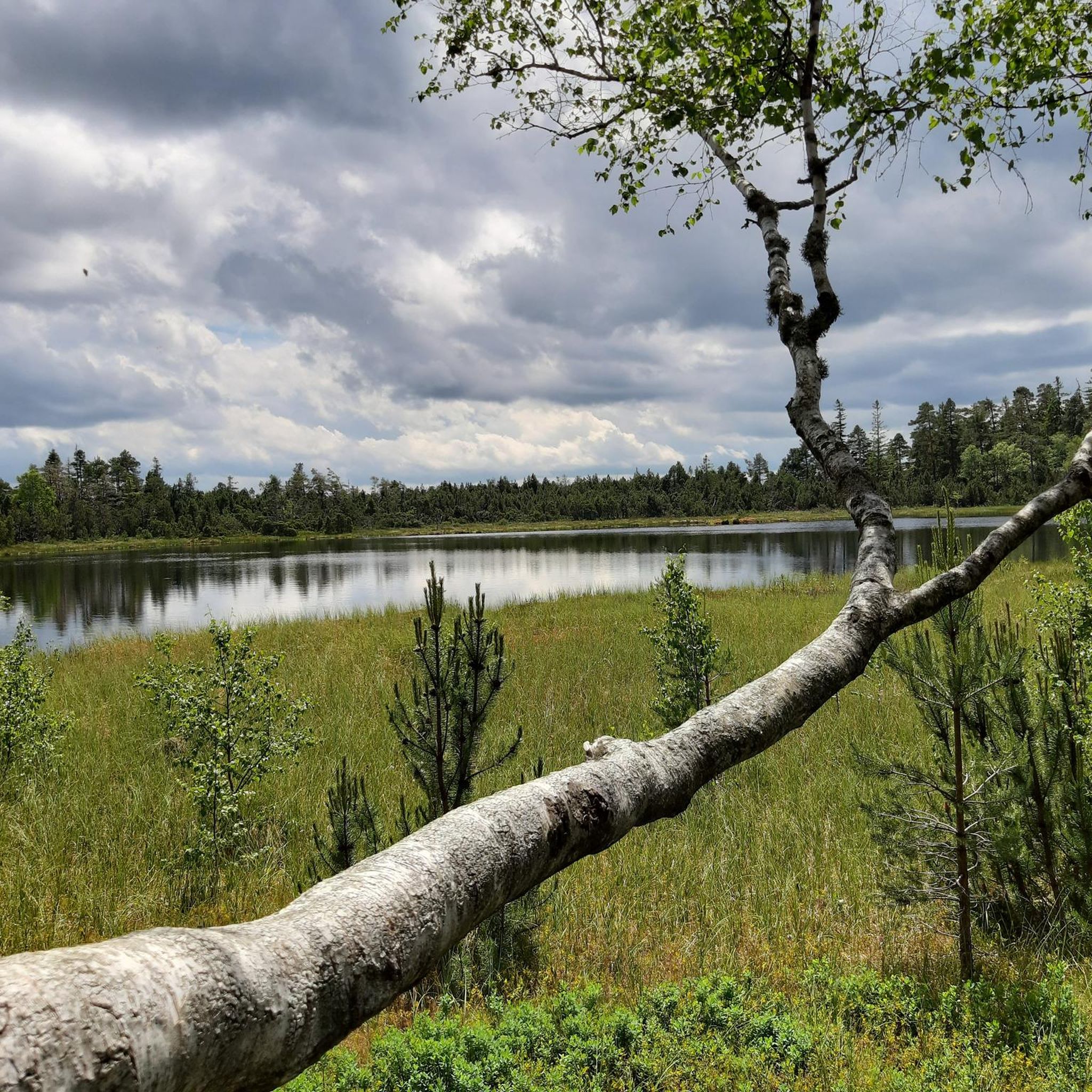
While cycling, you can encounter several natural attractions. The Wildsee raised bog and the Boardwalk Through Wildseemoor are prominent features. The region is also characterized by dense forests and tranquil moorland, offering a unique natural setting for your ride.
What do other touring cyclists say about their experience in Wildseemoor (Bannwald)?
The touring cycling routes in Wildseemoor (Bannwald) are highly rated by the komoot community, with an average score of 4.6 stars from over 1,600 reviews. Cyclists often praise the extensive forests, tranquil moorland, and notable features like boardwalks and viewpoints. The well-maintained paths and diverse terrain are frequently highlighted as positive aspects.
How long do touring cycling routes in Wildseemoor (Bannwald) typically take to complete?
The duration of touring cycling routes varies depending on the distance and difficulty. For example, the Swing at Döbler View – Boardwalk to Wildsee loop from Kaltenbronn typically takes around 2 hours, while the Boardwalk to Wildsee – Treetop Walkway Bad Wildbad loop from Hohloh is often completed in about 2 hours 18 minutes. Longer, more difficult routes can take upwards of 4 hours.
Are there any specific landmarks or huts along the touring cycling routes?
Yes, some routes pass by notable landmarks and huts. For instance, the Schwarzmiss Pass summit – Weissenstein Hut loop from Schwarzmiss includes a pass summit and goes past the traditional Weissenstein Hut. You might also encounter the Leonhard Hut on other trails.
What is the best time of year to go touring cycling in Wildseemoor (Bannwald)?
While specific weather conditions can vary, the spring, summer, and early autumn months generally offer the most favorable conditions for touring cycling in Wildseemoor (Bannwald). During these seasons, the weather is typically milder, and the paths are less likely to be affected by snow or ice, allowing for comfortable exploration of the forests and moorland.
Are there any particularly challenging touring cycling routes for advanced cyclists?
Yes, Wildseemoor (Bannwald) offers approximately 108 difficult touring cycling routes for those seeking a greater challenge. These routes often feature significant elevation gains and longer distances. An example is the Alter Grünhüttenweg – View of Bad Herrenalb loop from Kaltenbronn, which includes over 700 meters of elevation gain.
What should I pack for a touring bike tour in Wildseemoor (Bannwald)?
Given the varied terrain and potential for changing weather in the Black Forest region, it's advisable to pack layers of clothing, rain gear, and sufficient water and snacks. A basic bike repair kit, a first-aid kit, and a fully charged phone with GPS capabilities (like the komoot app) are also recommended for a safe and enjoyable touring cycling experience.
Most popular routes in Wildseemoor (Bannwald)
Most popular attractions in Wildseemoor (Bannwald)

Get inspired with the komoot mobile app


Explore more
Browse the best Cycling routes in other regions.
