The best mountain hikes in Limburg
5.0
(2)
17
hikers
9
hikes
Mountaineering in Limburg offers diverse terrain, characterized by rolling hills, river valleys, and unique terraced landscapes, providing vertical challenges and elevated experiences. While not featuring high-altitude peaks, the region's "un-Dutch" topography includes significant geological formations and extensive woodlands. These features create varied opportunities for exploring elevated terrain, from the river dunes of Maasduinen National Park to the distinct hills of Southern Limburg.
Best mountaineering routes in Limburg
- The most popular mountaineering route is Auchtert – Mörikefels loop from Randecker Maar…
Last updated: July 2, 2026
2
hikers
Moderate mountaineering route. Good fitness required. Mostly accessible paths. Sure-footedness required.
1
hikers
9.53km
03:07
400m
400m
Moderate mountaineering route. Good fitness required. Easily-accessible paths. Suitable for all skill levels.

Sign up for free
5
hikers
12.5km
04:06
570m
570m
Moderate mountaineering route. Good fitness required. Easily-accessible paths. Suitable for all skill levels.
5.0
(1)
6
hikers
2.82km
00:55
140m
140m
Easy mountaineering route. Great for any fitness level. Easily-accessible paths. Suitable for all skill levels.
5.0
(1)
3
hikers
9.83km
02:45
200m
200m
Moderate mountaineering route. Good fitness required. Easily-accessible paths. Suitable for all skill levels.
Get access to more routes and recommendations from other explorers.
Sign up for free
Already have an account?
Our route recommendations are based on thousands of hikes, rides, and runs completed by other people on komoot.
Start today with a free account
Your next adventure awaits.
Login or Signup
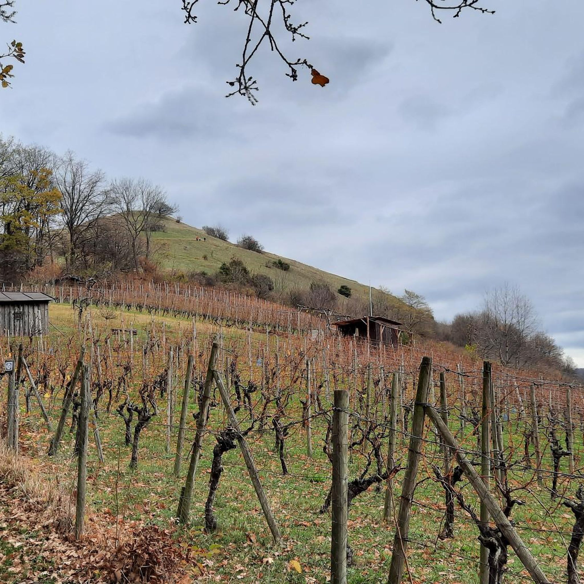
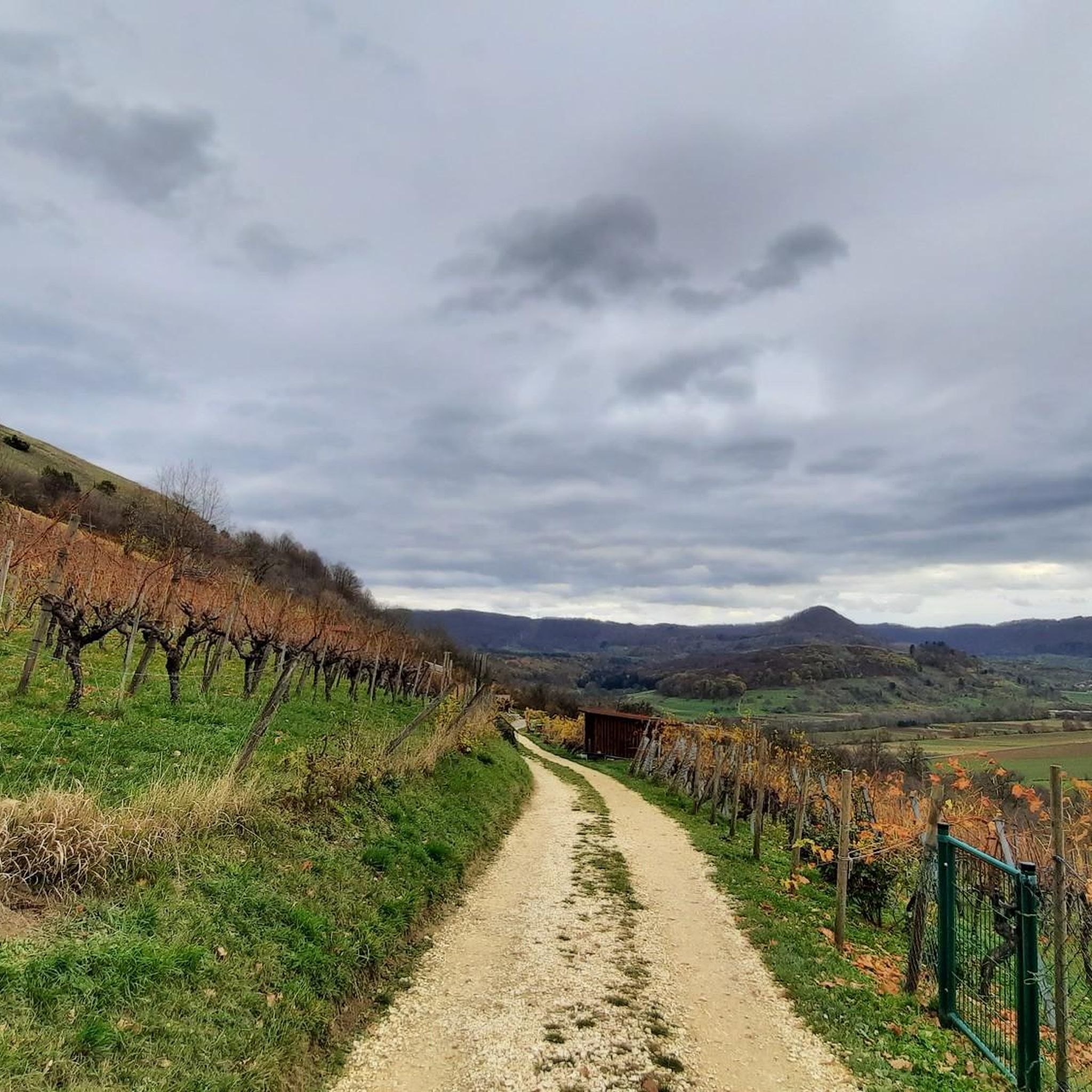
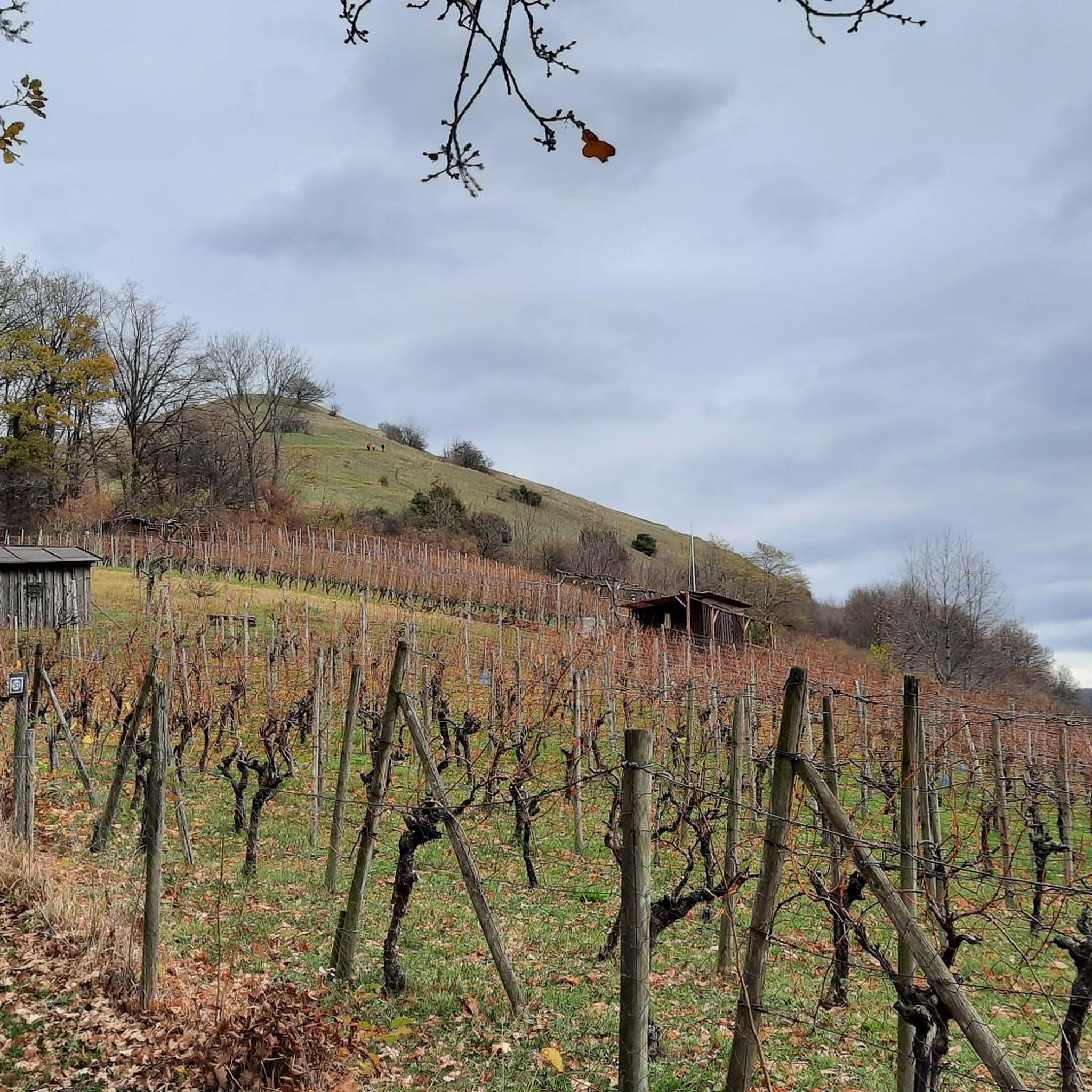
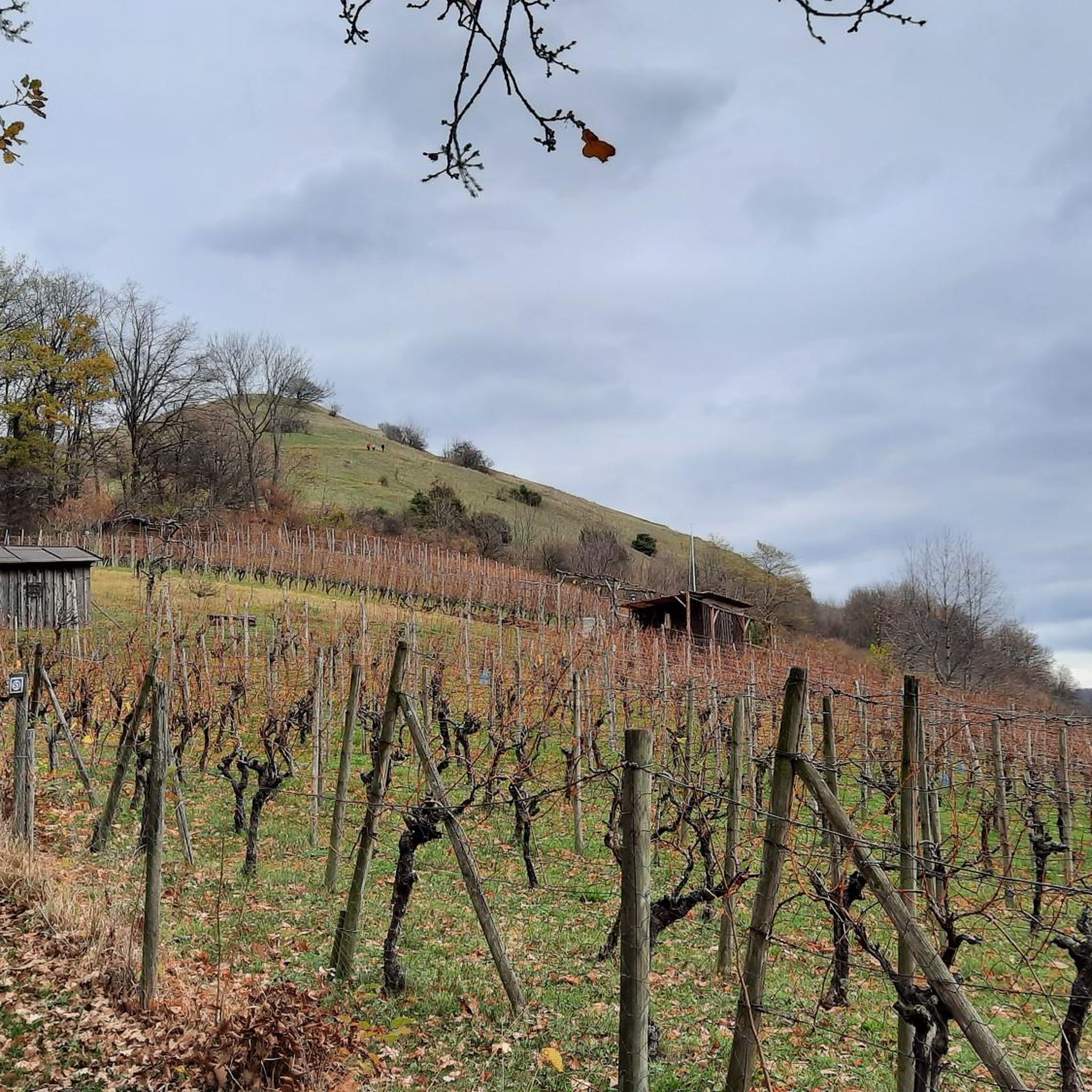
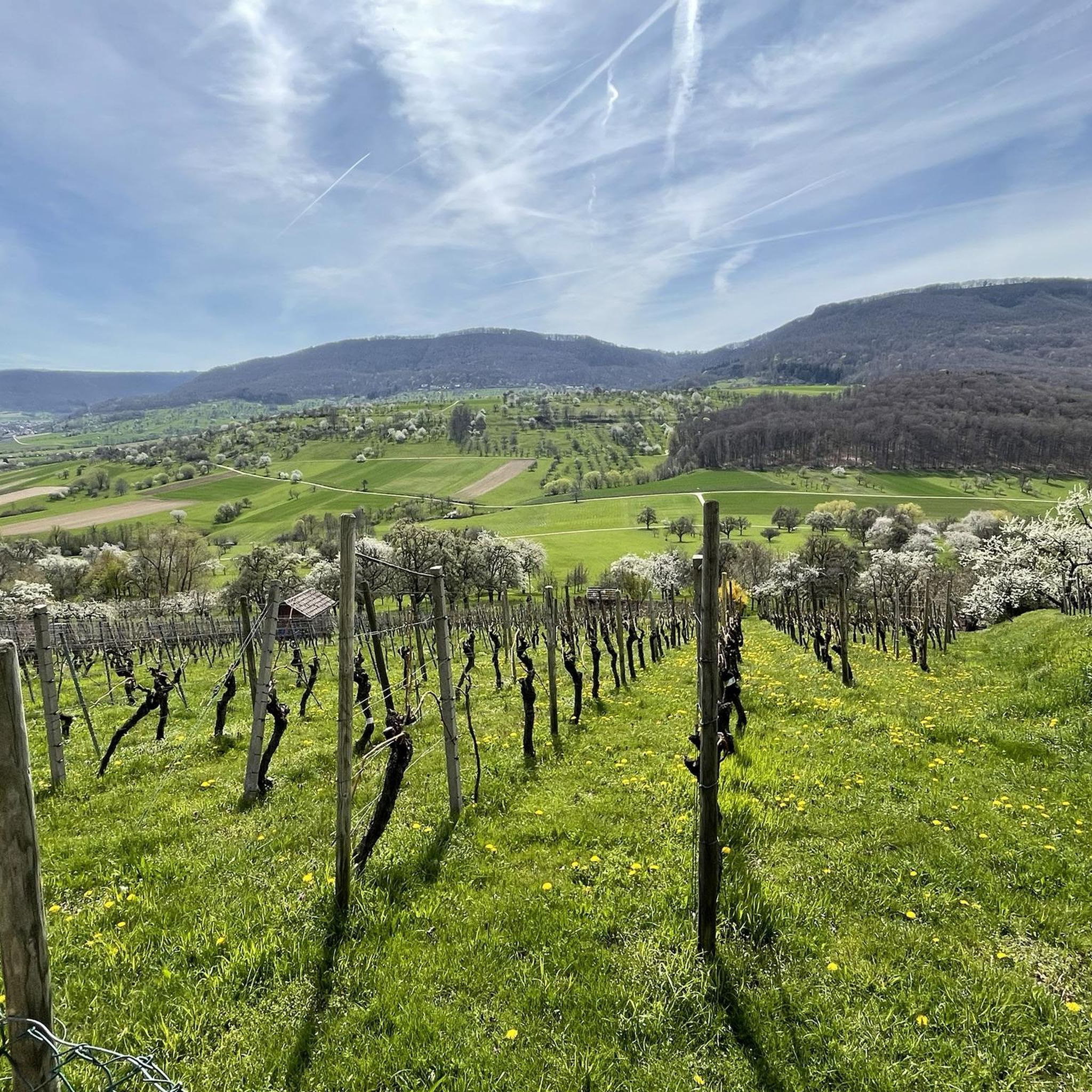
Tips from the Community

Here is a quiet bench where you can take a comfortable break
1
0

Beautiful plateau with great views and opportunities for further tours.
0
0

Viewpoint yellow rock with beautiful sunny view and distant view due to the Albtrauf and into the valley
1
0

Great view from the very well restored Rauber ruins
1
0
Viewpoint on Bissingen and a barbecue area can be found here
1
0
Short rest with a great view. Beautifully located. Great spot for further tours...
0
0

Many bridges cross the valley
0
0

The beautiful Zipfelbach Gorge is worth a visit at any time of year. The path leads over several bridges along the Zipfelbach and there is always something to discover.
4
1
Frequently Asked Questions
How many mountaineering routes are available in Limburg?
Komoot currently features 10 mountaineering routes in Limburg. These routes offer a diverse range of experiences, from easy strolls to more challenging ascents through the region's unique hilly landscapes.
Are there easy mountaineering routes suitable for beginners in Limburg?
Yes, Limburg offers routes suitable for beginners. For instance, the Teckberg loop from Owen is an easy 1.7-mile (2.8 km) trail that takes approximately 1 hour to complete, with a manageable elevation gain of around 446 feet (136 meters). This route is a great way to experience the region's elevated terrain without excessive challenge.
What kind of terrain can I expect on mountaineering routes in Limburg?
Limburg's mountaineering routes are characterized by rolling hills, picturesque river valleys, and unique terraced landscapes. You'll encounter diverse environments, from the river dunes of Maasduinen National Park to the distinct hills of Southern Limburg, offering varied opportunities for exploring elevated terrain and woodlands.
Are there any circular mountaineering routes in Limburg?
Many of Limburg's mountaineering routes are designed as loops, allowing you to start and end at the same point. A popular moderate option is the Breitenstein Viewpoint – Rauber Ruins loop from Bissingen an der Teck, which covers 5.9 miles (9.6 km) and typically takes around 3 hours 9 minutes to complete.
What are some notable viewpoints or landmarks I can see on these routes?
Limburg's routes often lead to scenic viewpoints and interesting landmarks. You might encounter the Limburg Viewpoint, offering panoramic vistas, or the Vineyard pergola with a view of Hepsisau and Neidlingen. The region also features unique natural monuments and historical sites along its trails.
Can I bring my dog on mountaineering routes in Limburg?
While specific regulations can vary by national park or nature reserve, many trails in Limburg are dog-friendly, especially if your dog is kept on a leash. It's always a good idea to check local signage or the specific route details on komoot for any restrictions before heading out with your furry companion.
Are there family-friendly mountaineering options in Limburg?
Yes, Limburg offers several options suitable for families. The region's easier trails, like the Teckberg loop from Owen, are great for families looking for a less strenuous outing. Additionally, the diverse landscapes and attractions like climbing parks or cave explorations can add extra adventure for children.
Where can I find parking for mountaineering routes in Limburg?
Many trailheads in Limburg offer designated parking areas. For example, the Lindenbrücke Hiker Car Park is a convenient option for accessing routes in the area. Always check the route details on komoot for specific parking information near your chosen starting point.
What is the best time of year for mountaineering in Limburg?
The spring and autumn months are generally ideal for mountaineering in Limburg, offering pleasant temperatures and beautiful scenery as the landscape changes. Summer can also be enjoyable, though it's wise to start early to avoid the midday heat. Winter mountaineering is possible, but some trails might be muddy or require appropriate gear.
What do other mountaineers say about the routes in Limburg?
The mountaineering routes in Limburg are highly rated by the komoot community, with an average score of 5.0 stars from reviewers. Users often praise the varied terrain, the scenic viewpoints, and the well-maintained paths that make for an enjoyable outdoor experience.
Are there any challenging mountaineering routes in Limburg for experienced hikers?
While Limburg is known for its rolling hills rather than high peaks, it does offer more challenging routes. For instance, the Teck Castle – Gelber Fels Viewpoint loop from Bissingen an der Teck is a moderate route covering 7.8 miles (12.5 km) with an elevation gain of 1,886 feet (575 meters), providing a good workout for experienced hikers.
What unique natural features can I discover while mountaineering in Limburg?
Limburg's unique geology offers several fascinating natural features. You can explore the terraced landscape of De Meinweg National Park, formed by ancient fault lines, or the wandering river dunes in Maasduinen National Park. The region's 'un-Dutch' topography provides a distinct experience compared to other parts of the Netherlands.
Are there any places to eat or drink near the mountaineering routes?
Yes, many routes in Limburg pass through or near charming villages and towns where you can find cafes, restaurants, and pubs. It's a good idea to check the route map on komoot or local guides for specific amenities along your chosen trail, especially in areas like Southern Limburg which are known for their hospitality.
How long do mountaineering routes in Limburg typically take to complete?
The duration of mountaineering routes in Limburg varies depending on their length and difficulty. You can find shorter routes like the Auchtert – Mörikefels loop from Randecker Maar mit Zipfelbachschlucht, which takes about 2 hours, to longer, more challenging trails that can take 4 hours or more, such as the Teck Castle – Gelber Fels Viewpoint loop from Bissingen an der Teck.
Most popular routes in Limburg
Most popular attractions in Limburg

Get inspired with the komoot mobile app


Explore more
Browse the best Mountain Hikes & Routes in other regions.
