The best walks and hikes in Wildruhezone Hoher Ifen
4.6
(37128)
156,608
hikers
501
hikes
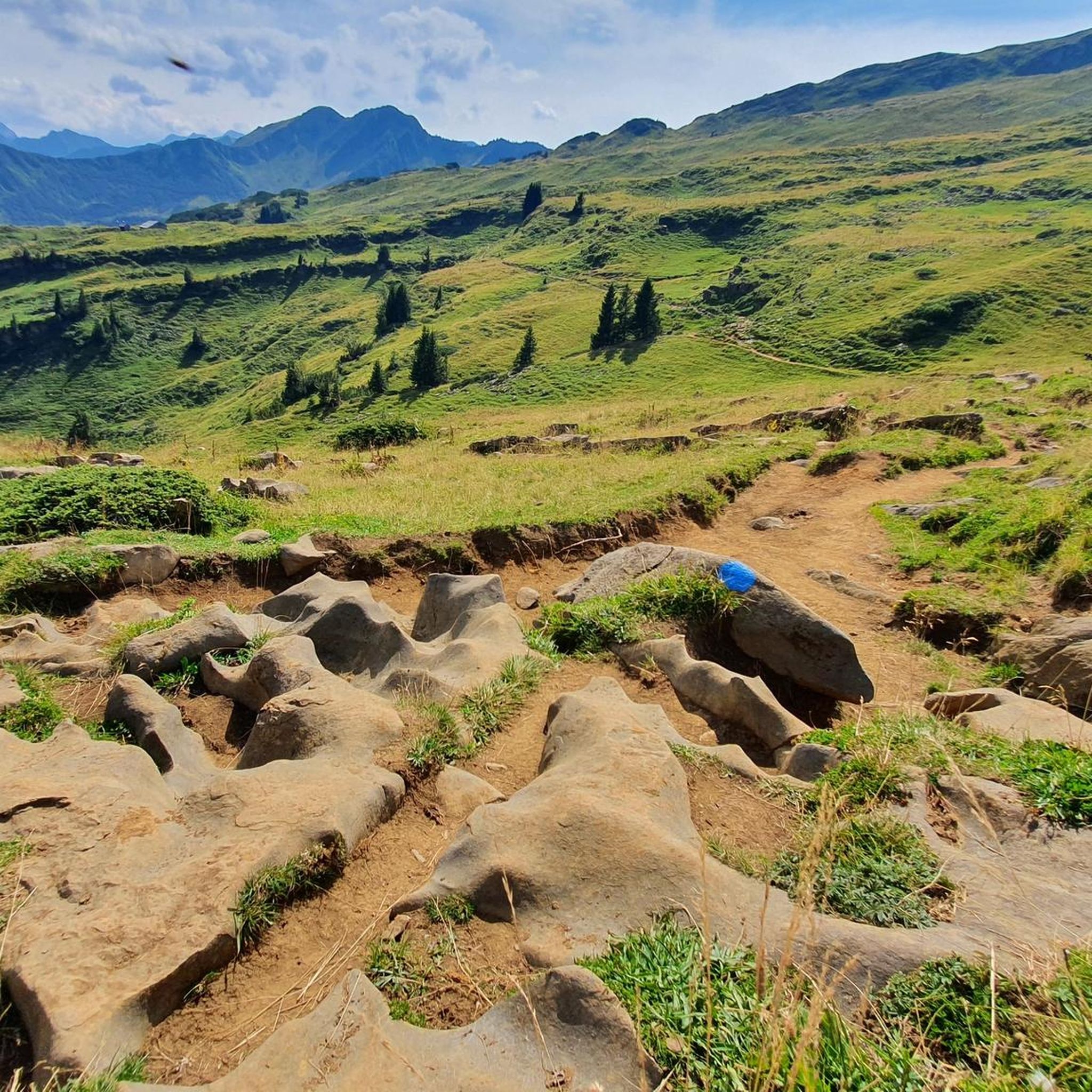
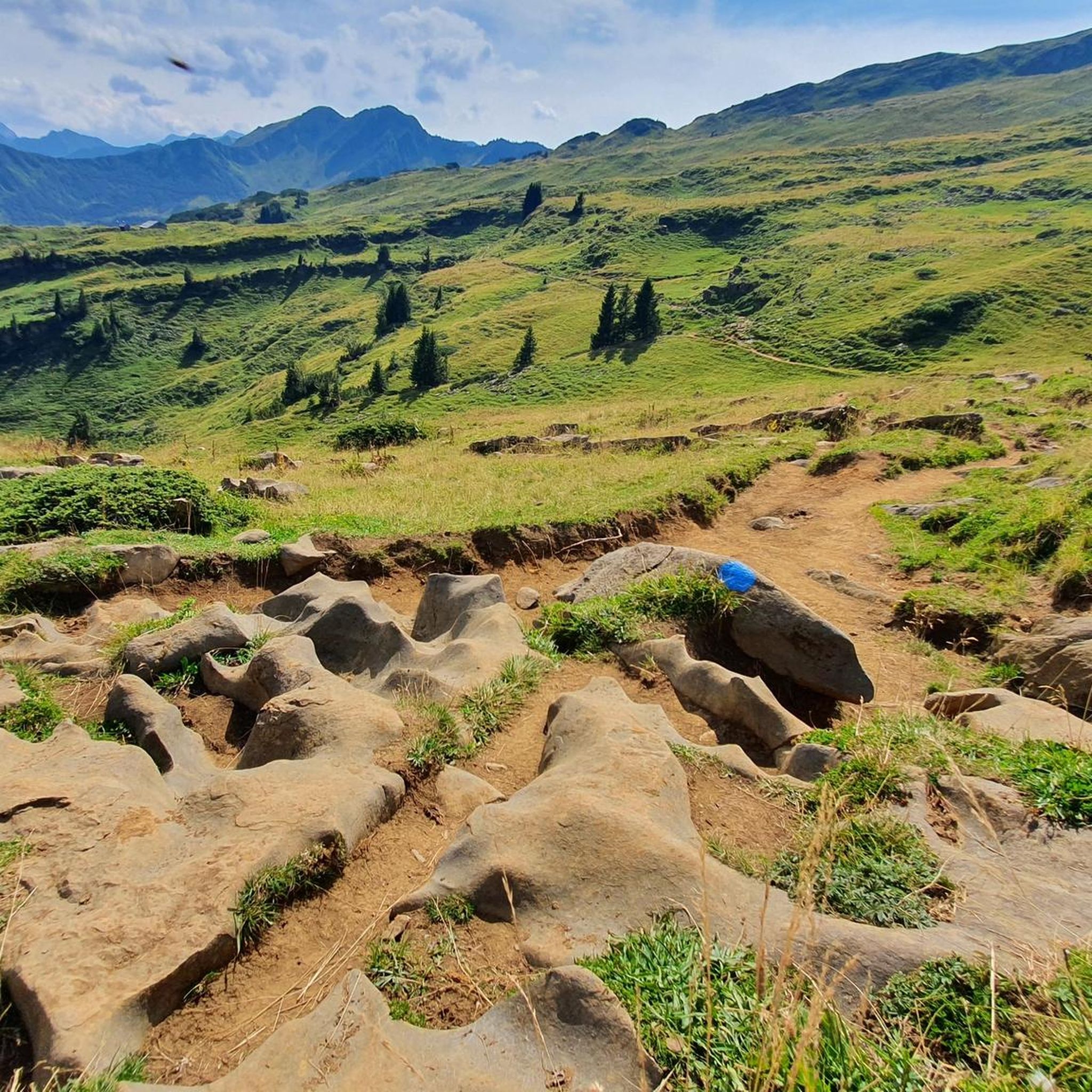
Hiking trails in Wildruhezone Hoher Ifen traverse a unique alpine karst landscape, characterized by high plateaus, rugged rock formations, and expansive alpine meadows. The region, part of the Europaschutzgebiet Ifen, features diverse terrain ranging from gentle valley paths along streams to more challenging ascents towards prominent summits like the Hoher Ifen. This area offers a variety of routes through its protected natural environment.
Best hiking trails in Wildruhezone Hoher Ifen
- The most popular hiking route is Hahnenköpfle Summit – View of the Gottesacker loop from Europaschutzgebiet Ifen, a 1.2 miles (2.0 km) trail that takes about 50 minutes to complete. This moderate route offers panoramic views of the Gottesacker plateau.
- Another top favourite among local hikers is Auenhütte via the Melköde to the Schwarzwasserhütte — Kleinwalsertal, a moderate 6.4 miles (10.3 km) path. This trail leads through varied terrain, including forest and open meadows, alongside the Schwarzwasserbach.
- Local hikers also love the Over the Gottesacker plateau — Kleinwalsertal for nature lovers, a 9.3 miles (15.0 km) trail leading through the distinctive karst landscape of the Gottesacker plateau, often completed in about 6 hours 25 minutes.
- Hiking in Wildruhezone Hoher Ifen is defined by its unique karst formations, high alpine plateaus, and clear mountain streams. The network offers options for various ability levels, from easy walks to challenging multi-hour ascents.
- The routes in Wildruhezone Hoher Ifen are highly rated by the komoot community with an average score of 4.6 stars from over 32,000 reviews. More than 146,000 hikers have used komoot to explore Wildruhezone Hoher Ifen's varied terrain.
Last updated: November 1, 2026
Moderate hike. Mostly walkable paths. Sure-footedness required.
4.7
(705)
3,331
hikers
10.3km
03:29
370m
370m
Moderate hike. Good fitness required. Mostly walkable paths. Sure-footedness required.

4.6
(105)
407
hikers
15.0km
06:26
890m
1,100m
Hard hike. Very good fitness required. Mostly walkable paths. Sure-footedness required.
4.8
(48)
207
hikers
12.8km
03:34
110m
400m
Moderate hike. Good fitness required. Mostly walkable paths. Sure-footedness required.
4.9
(516)
1,884
hikers
14.7km
05:48
770m
770m
Hard hike. Very good fitness required. Mostly walkable paths. Sure-footedness required.
Get access to more routes and recommendations from other explorers.
Already have an account?
Our route recommendations are based on thousands of hikes, rides, and runs completed by other people on komoot.
Start today with a free account
Your next adventure awaits.

Tips from the Community

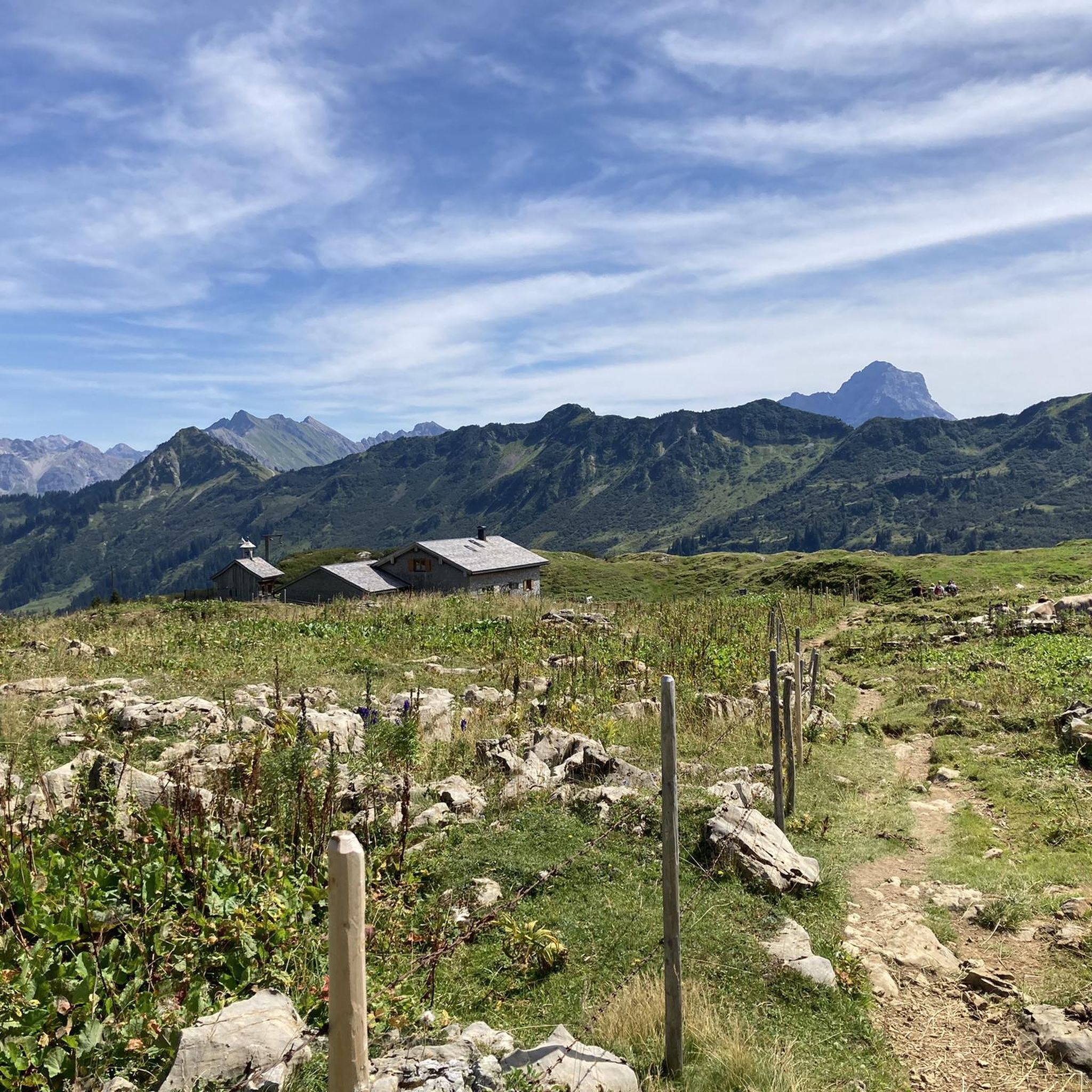
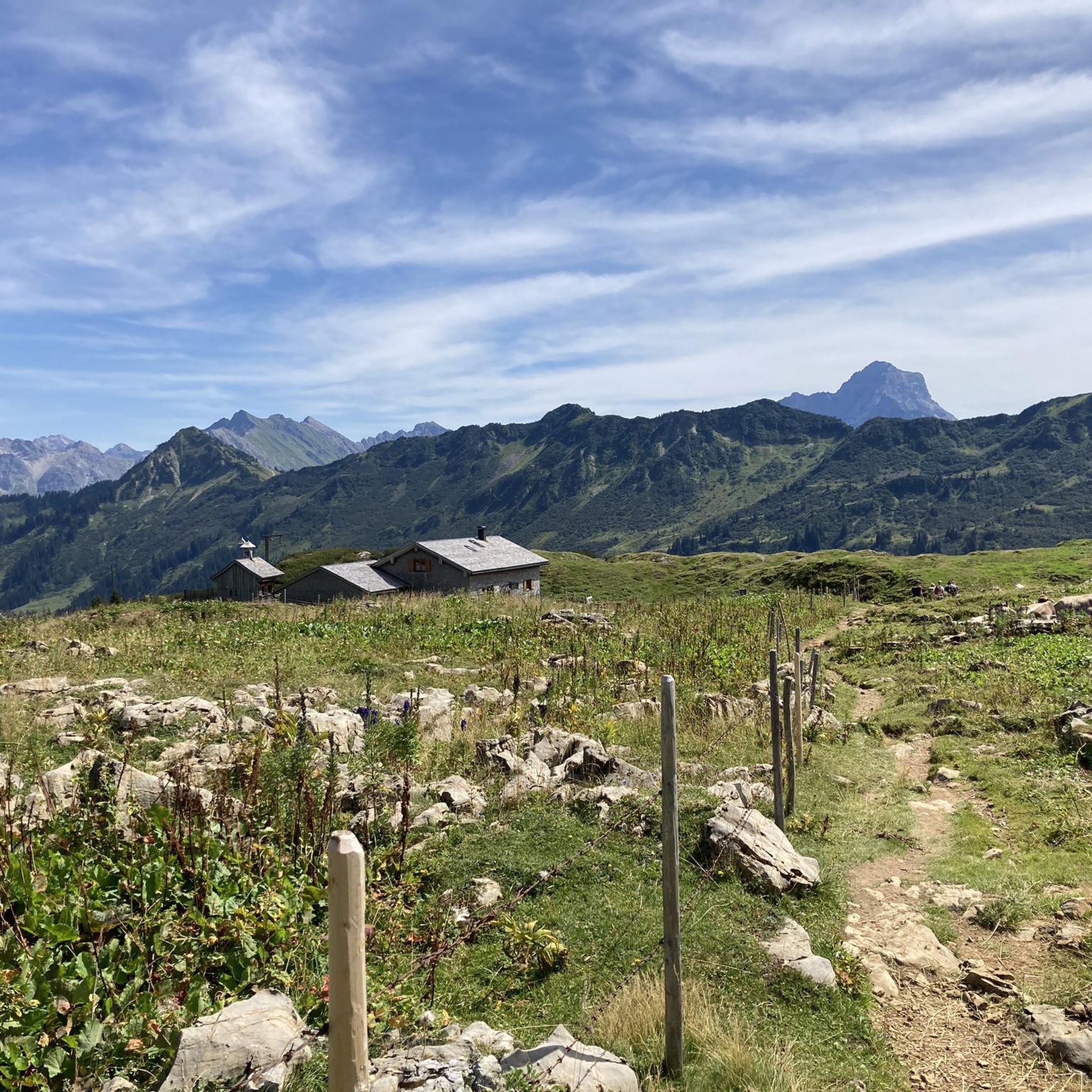
A beautiful vantage point with views of the Hohen Ifen and the Gottesacker plateau.
8
0

In the summer months, the trail between Schwarzwasserhütte and Ochsenhoferscharte can sometimes be occupied by cows. This can be a bit unnerving, but if you walk slowly and don't shout, the cows will get out of the way, even if sometimes veeeery slowly, or they will trot in front of you.
0
0

From here you have a great view of the Walmendinger Horn at 1,993 m.
0
0
The Hohe Ifen is visible from afar. It's not a typical Alpine peak, but rather a smooth-looking surface sloping downwards from the summit.
0
0

beautiful view at the high Ifen
0
0

great landscape and easy path through the moor
0
0

Frequently Asked Questions
What is the general difficulty level of hiking trails in Wildruhezone Hoher Ifen?
Wildruhezone Hoher Ifen offers a wide range of hiking difficulties. You'll find everything from easy valley paths to challenging multi-hour ascents. Out of over 500 routes, approximately 185 are considered easy, 212 are moderate, and 113 are difficult, ensuring options for all experience levels.
Are there any family-friendly hiking routes in Wildruhezone Hoher Ifen?
Yes, there are many family-friendly options, particularly on the easier trails. Look for routes with less elevation gain and shorter distances. While specific family routes aren't highlighted here, the region's diverse terrain includes numerous paths suitable for families, especially those along valley floors or to accessible viewpoints.
Can I bring my dog on the hiking trails in Wildruhezone Hoher Ifen?
Generally, dogs are welcome on trails in Wildruhezone Hoher Ifen, but it's crucial to keep them on a leash, especially in protected areas and near grazing livestock. Always check local regulations for specific routes, as some sensitive wildlife zones might have restrictions. Be mindful of the alpine environment and ensure your dog is well-behaved and accustomed to hiking.
What are some good starting points for hikes in Wildruhezone Hoher Ifen?
Common starting points often include areas near the Auenhütte or other valley access points in the Kleinwalsertal, which provide good access to various trails. These locations often have parking facilities and are well-connected to the trail network.
Are there any circular hiking routes in Wildruhezone Hoher Ifen?
Yes, the region offers several excellent circular routes. For example, the Hahnenköpfle Summit – View of the Gottesacker loop from Europaschutzgebiet Ifen is a moderate loop offering panoramic views. Another option is the more challenging View of the Hoher Ifen – View of Walmendinger Horn loop from Kleinwalsertal, which provides extensive alpine vistas.
What is the best time of year to go hiking in Wildruhezone Hoher Ifen?
The best time for hiking in Wildruhezone Hoher Ifen is typically from late spring (June) through early autumn (September/October). During these months, trails are generally snow-free, and the weather is more stable. Early summer brings vibrant alpine flora, while autumn offers stunning fall colors. Always check current weather and trail conditions before heading out.
Are there any challenging hikes for experienced hikers?
Absolutely. For experienced hikers seeking a challenge, routes like Over the Gottesacker plateau — Kleinwalsertal for nature lovers offer significant elevation changes and longer distances through rugged karst landscapes. The View of the Hoher Ifen – View of Walmendinger Horn loop from Kleinwalsertal is another difficult option with rewarding views.
What kind of natural landmarks or viewpoints can I expect to see?
The region is renowned for its unique karst formations, high alpine plateaus, and clear mountain streams. You can find impressive viewpoints such as the View over the Schwarzwasser valley. The distinctive Gottesacker plateau itself is a major natural landmark, offering a truly unique landscape to explore.
Are there any places to eat or rest along the trails?
While specific cafes aren't listed for every trail, many alpine regions, including Wildruhezone Hoher Ifen, feature mountain huts (Hütten) that offer refreshments and meals during the hiking season. For example, the route Auenhütte via the Melköde to the Schwarzwasserhütte — Kleinwalsertal passes by the Schwarzwasserhütte, which is a popular stop.
What do other hikers enjoy most about Wildruhezone Hoher Ifen?
The area is highly rated by the komoot community, with an average score of 4.6 stars from over 32,000 reviews. Reviewers often praise the unique karst landscape of the Gottesacker plateau, the diverse terrain ranging from forests to open meadows, and the stunning panoramic views of the surrounding alpine peaks.
Are there any specific safety considerations for hiking in Wildruhezone Hoher Ifen?
Given the alpine environment, hikers should always be prepared for changing weather conditions, even in summer. Some trails, particularly those leading to higher elevations or across the Gottesacker plateau, can be exposed and require appropriate gear. There are also sections with secured descents or rope-assisted climbing, such as the Secured Descent on Hohen Ifen and Rope-Assisted Climbing Section on Ifen Trail, which require sure-footedness and a head for heights.
How long do hikes in Wildruhezone Hoher Ifen typically take?
Hike durations vary significantly based on the route's length and difficulty. Shorter, moderate trails like the Hahnenköpfle Summit – View of the Gottesacker loop from Europaschutzgebiet Ifen can be completed in under an hour. Longer, more challenging routes, such as Over the Gottesacker plateau — Kleinwalsertal for nature lovers, can take over six hours.
Most popular routes in Wildruhezone Hoher Ifen
Most popular attractions in Wildruhezone Hoher Ifen

Get inspired with the komoot mobile app


Explore more
Browse the best Hikes in other regions.
