The best mountain hikes in Arnspitze
4.8
(528)
4,981
hikers
127
hikes
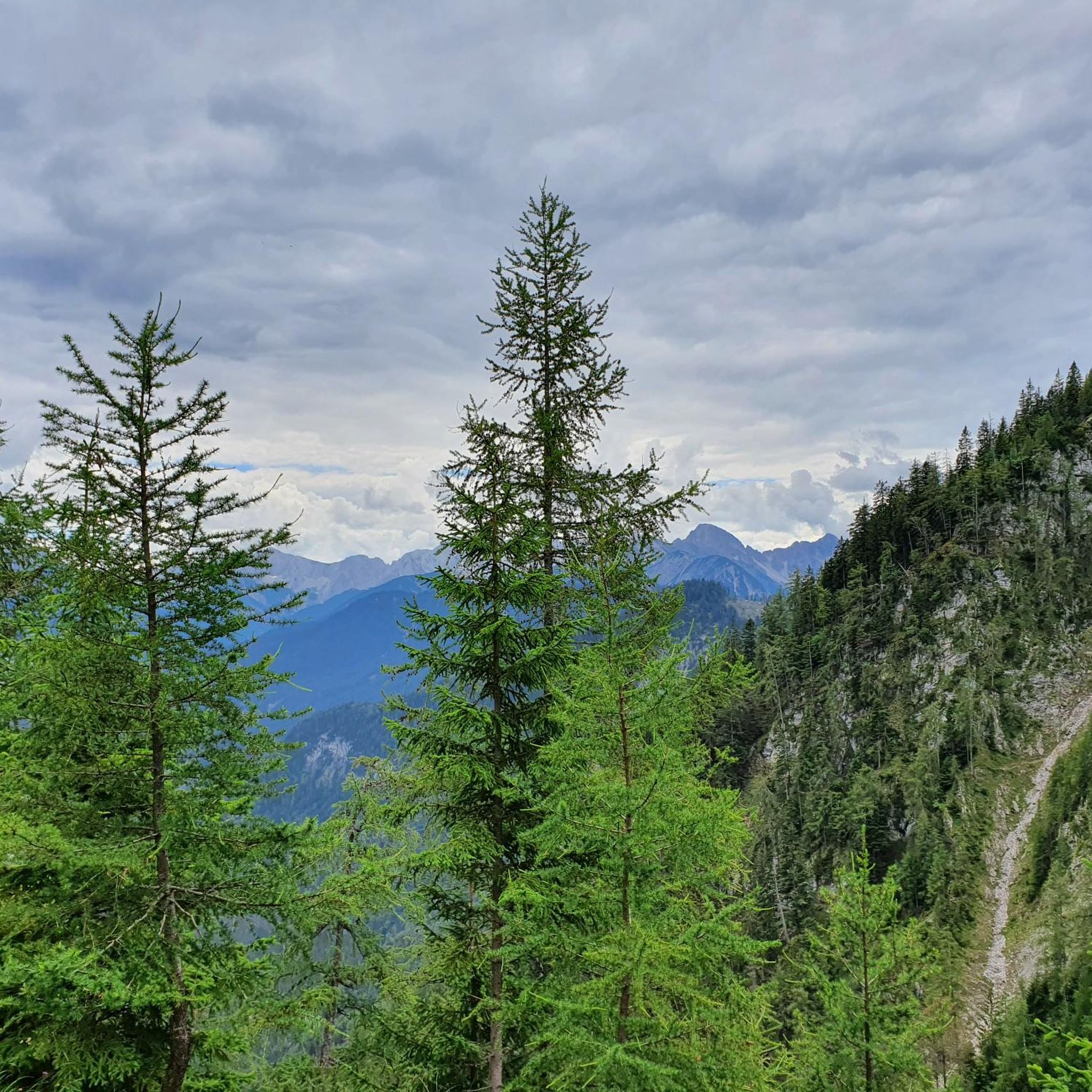
Mountaineering in Arnspitze offers a diverse alpine landscape, characterized by significant elevation changes and rugged mountain terrain. The region features prominent peaks, deep valleys, and a network of trails leading to alpine huts and scenic viewpoints. These routes often traverse challenging ascents and descents, providing a true mountain experience.
Best mountaineering routes in Arnspitze
- The most popular mountaineering route is Brunnstein Peak – Brunnstein Hut loop from Scharnitz, a 7.8 miles (12.5 km) trail that takes about 7 hours…
Last updated: August 17, 2026
4.9
(12)
108
hikers
12.5km
07:16
1,190m
1,190m
Hard mountaineering route. Very good fitness required. Sure-footedness, sturdy shoes and alpine experience required.
4.8
(19)
157
hikers
17.0km
08:10
1,170m
1,170m
Hard mountaineering route. Very good fitness required. Sure-footedness, sturdy shoes and alpine experience required.

Sign up for free
5.0
(10)
193
hikers
17.8km
05:47
790m
790m
Hard mountaineering route. Very good fitness required. Easily-accessible paths. Suitable for all skill levels.
4.7
(10)
77
hikers
14.7km
04:28
340m
340m
Hard mountaineering route. Good fitness required. Sure-footedness, sturdy shoes and alpine experience required.
5.0
(6)
48
hikers
16.2km
07:28
1,070m
1,070m
Hard mountaineering route. Very good fitness required. Sure-footedness, sturdy shoes and alpine experience required.
Get access to more routes and recommendations from other explorers.
Sign up for free
Already have an account?
Our route recommendations are based on thousands of hikes, rides, and runs completed by other people on komoot.
Start today with a free account
Your next adventure awaits.
Login or Signup
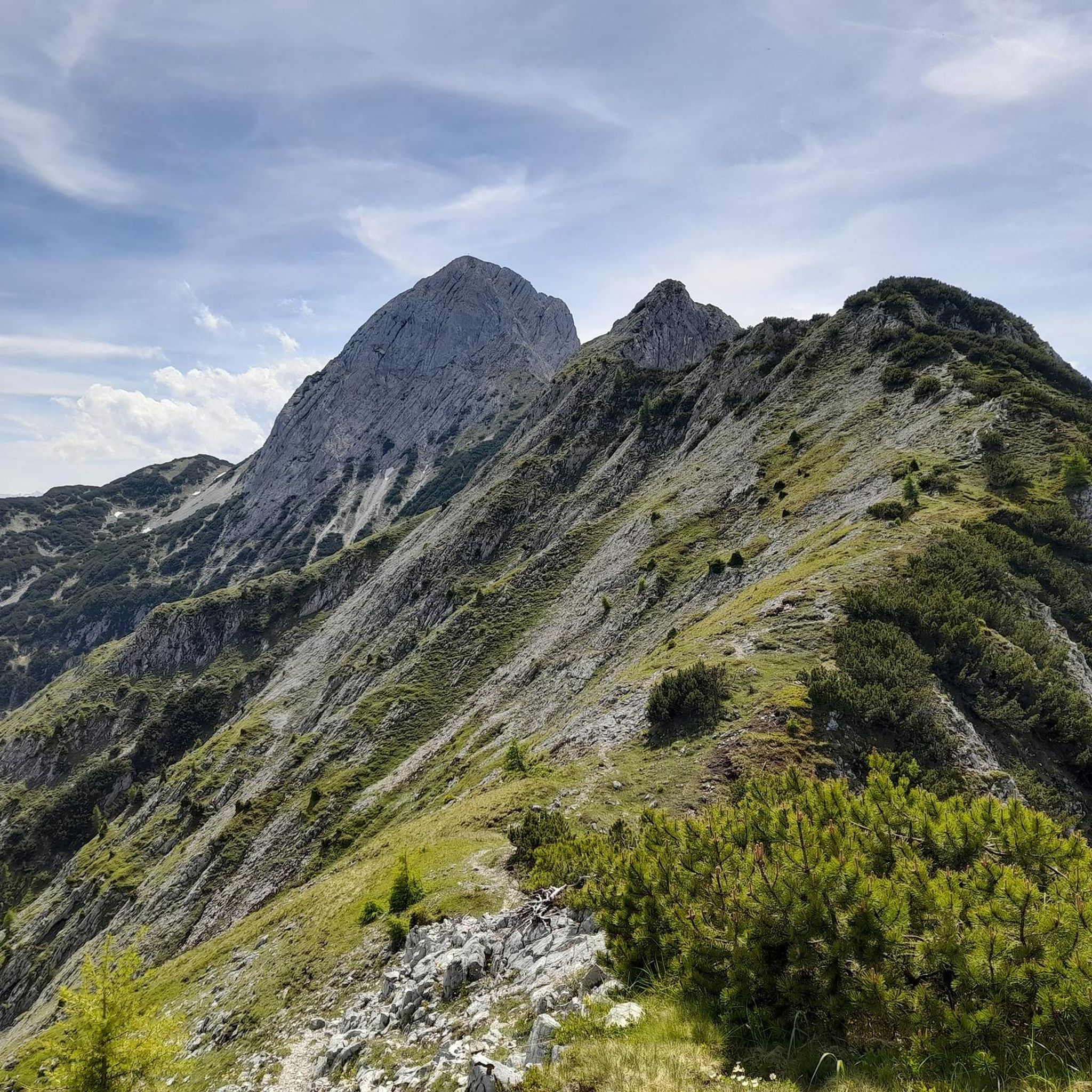
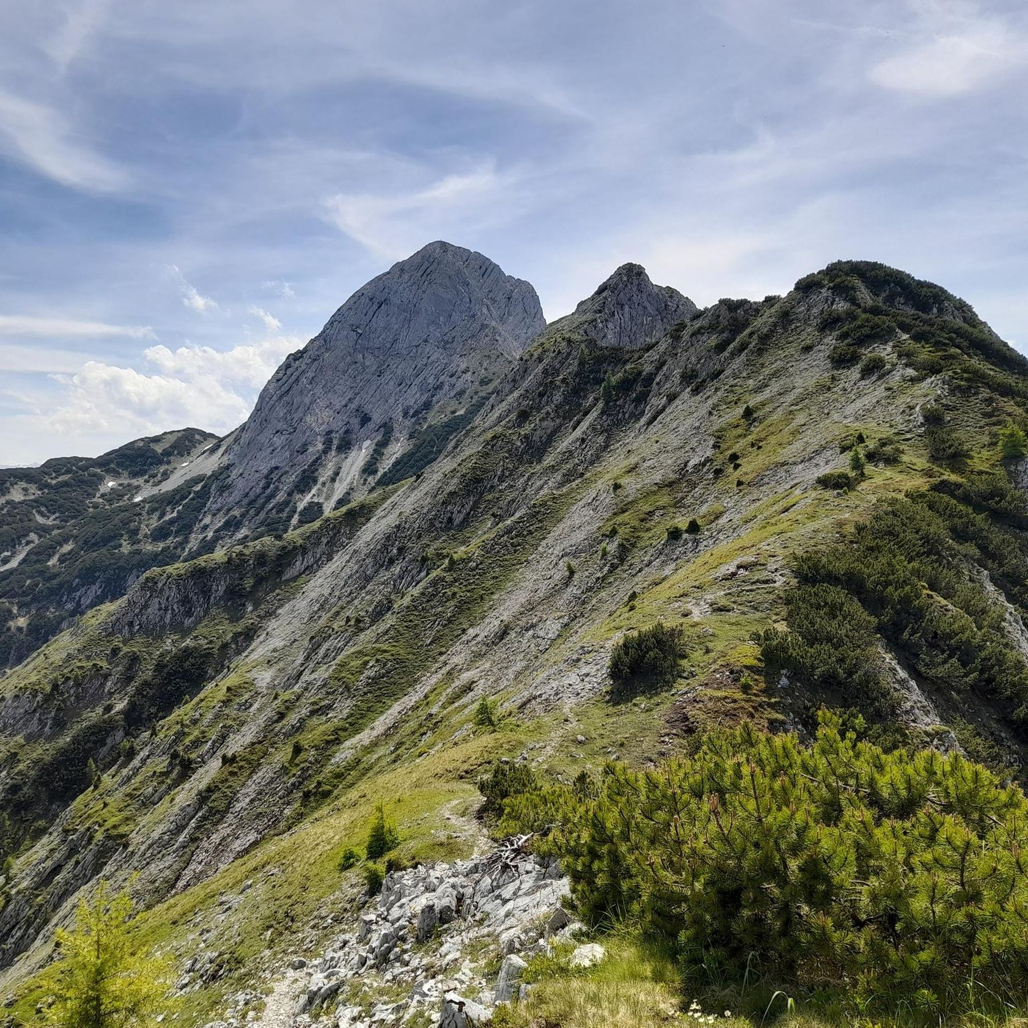
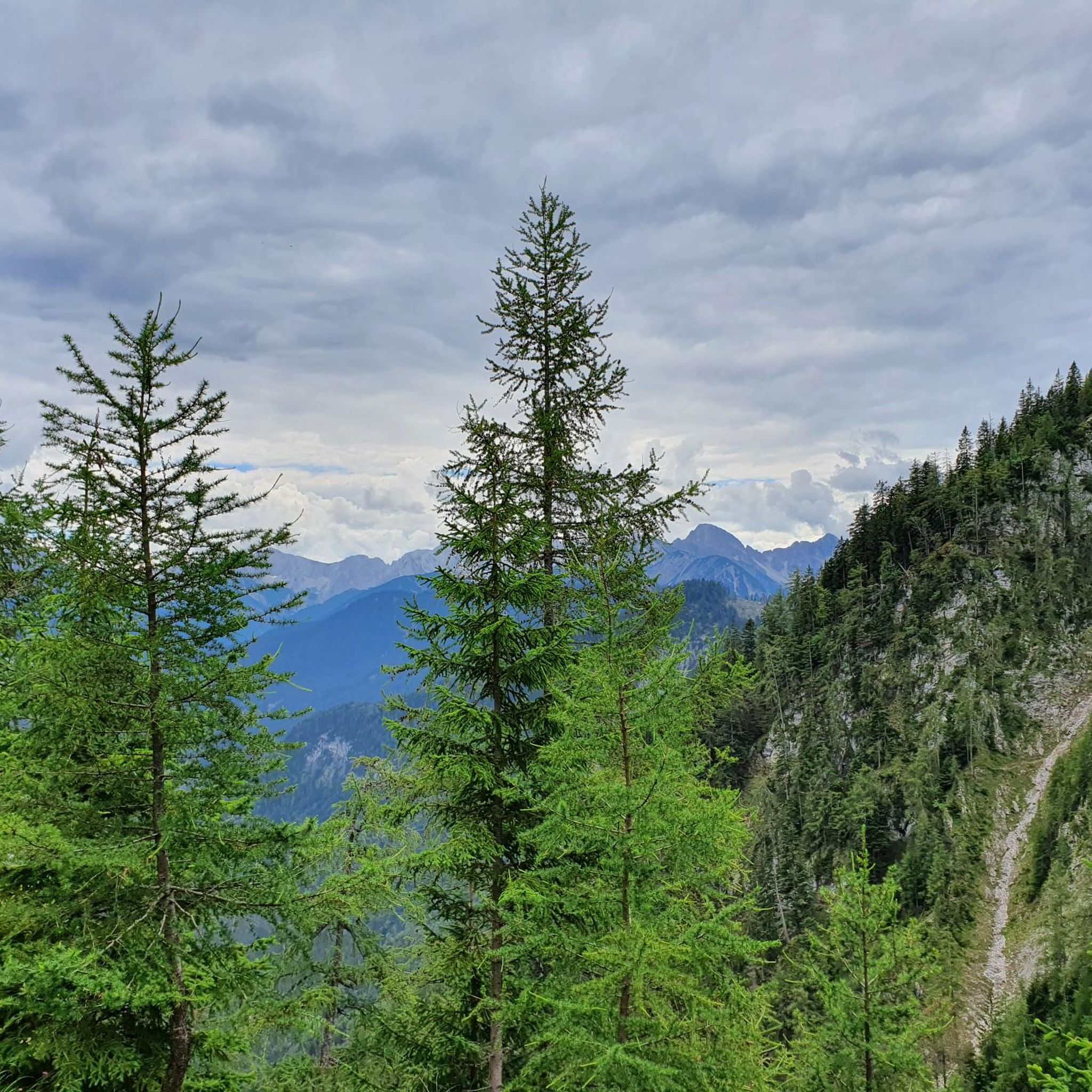
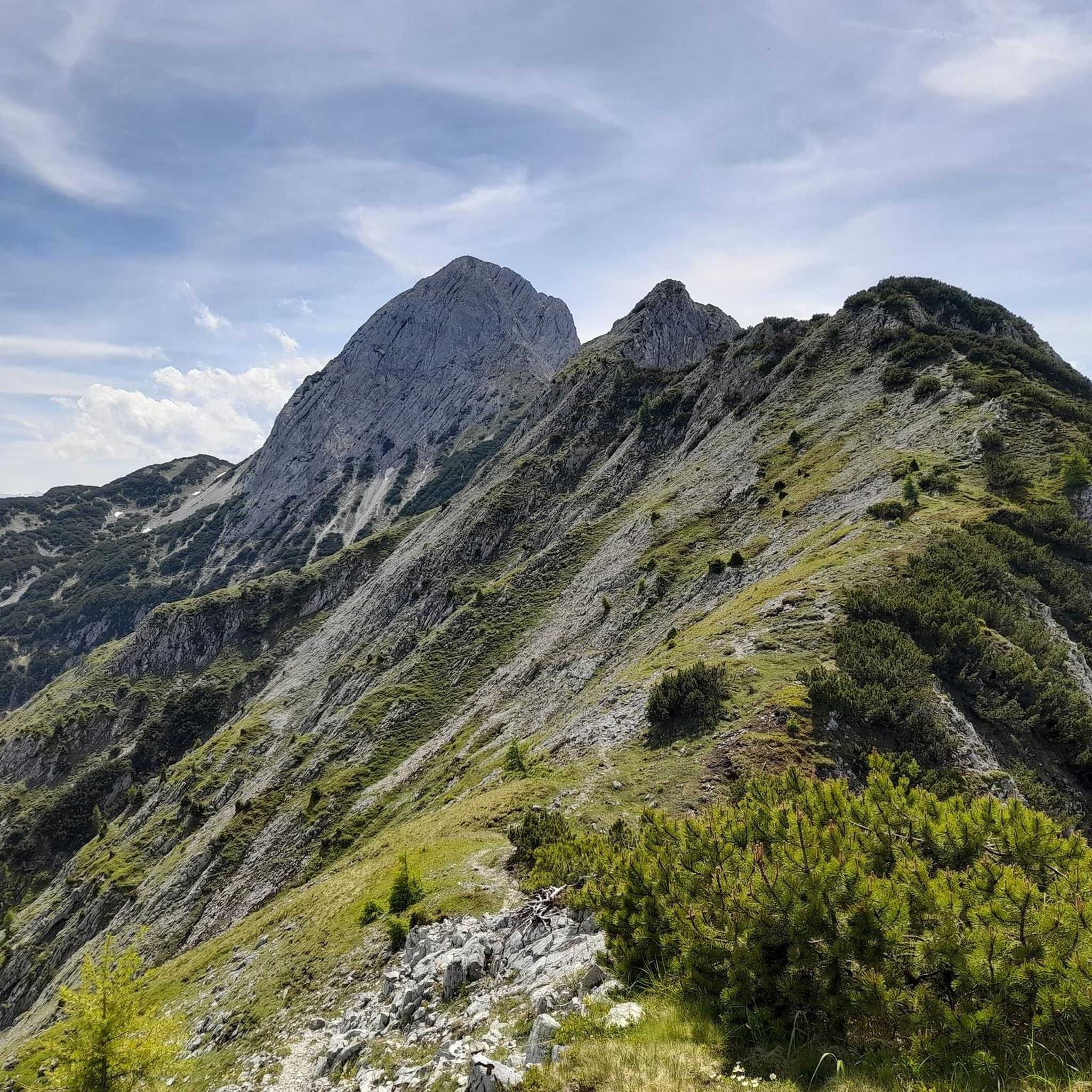

Tips from the Community

The Isar is a 292-kilometer-long Alpine river that originates in the Karwendel Mountains in Tyrol (Austria), flows through Bavaria, and flows into the Danube south of Deggendorf. After the Danube, Inn, and Main, it is Bavaria's fourth-largest river. It is particularly famous as the green "leisure artery" of the state capital Munich.
0
0
The source of the Isar is located in the Hinterautal near Scharnitz in Tyrol (Austria), in the middle of the Karwendel Nature Park at an altitude of 1,162 meters. It is not a single spring, but several karst springs that carry crystal-clear water all year round and are affectionately called "Bei den Flüssen" (By the Rivers) by the locals.
0
0
The Gleirschklamm is a wildly romantic, deeply cut gorge in the Karwendel Nature Park near Scharnitz in Tyrol. It is considered a scenically spectacular insider tip away from the better-known mass trails. The untamed wild river fascinates with its turquoise water, roaring waterfalls, whirlpools, and steep rock faces of Triassic limestone.
0
0


The Isar presents itself here as a wild, cyan-blue mountain stream with crystal-clear water and extensive, bright gravel beds. Dreamlike and an absolute highlight.
10
0

It's the classic stop when you hike the Mittenwalder Höhenweg, as most people do, from north to south and then descend from Brunnsteinanger. Here you have completed the steepest part of the descent and can enjoy a well-deserved refreshment. The view is not as expansive as on the ridge above, but still magnificent.
4
0

Replacement for the ladders that once gave the path its name.
3
0
Frequently Asked Questions
How many mountaineering routes are available in Arnspitze?
Arnspitze offers a wide selection of mountaineering routes, with over 140 different tours to explore. These range from moderate to difficult, catering to various skill levels.
Are there any beginner-friendly mountaineering routes in Arnspitze?
While many routes in Arnspitze are challenging, there are a few options suitable for those new to mountaineering. The region features 2 easy and 51 moderate routes, which can be a good starting point to build experience before tackling the more difficult ascents.
What are some challenging mountaineering routes in Arnspitze?
For experienced mountaineers seeking a challenge, Arnspitze has 87 difficult routes. One notable option is the Pleisenspitze – Pleisenhütte loop from Scharnitz, which covers 17.4 miles (28 km) with over 5,487 ft (1,672 m) of elevation gain, typically taking over 11 hours to complete.
Are there any circular mountaineering routes in Arnspitze?
Yes, many of the mountaineering routes in Arnspitze are designed as loops. For example, the Brunnstein Peak – Brunnstein Hut loop from Scharnitz is a popular circular trail that takes you to Brunnstein Peak and past an alpine hut.
What kind of gear should I bring for mountaineering in Arnspitze?
Given the rugged mountain terrain and significant elevation changes in Arnspitze, it's essential to be well-prepared. You should bring sturdy hiking boots, appropriate layers for varying weather conditions, plenty of water, snacks, a map or GPS device, and a first-aid kit. Depending on the specific route and season, additional gear like trekking poles or even via ferrata equipment might be necessary.
What can I see along the mountaineering routes in Arnspitze?
Along the routes, you can discover various natural and historical points of interest. Highlights include the Arnspitz Hut, the dramatic Steep rocky slope on Arnspitze, and the serene Riedboden Nature Reserve. You might also encounter the Schartenkopf Ridge or the historic Lead Caves (Smugglers' Caves) near Mittenwald.
Are there any family-friendly options for exploring the Arnspitze region?
While many mountaineering routes are demanding, some of the easier or moderate trails might be suitable for families with older, experienced children. For a less strenuous option that still offers scenic views, consider the Isar River in Scharnitz – View of the Isar loop from Scharnitz, which features less elevation gain and follows the river.
What do other mountaineers enjoy the most about Arnspitze?
The Arnspitze region is highly rated by the komoot community, with an average score of 4.8 stars from over 500 reviews. Mountaineers often praise the diverse alpine landscape, the challenging ascents, the well-maintained trails, and the rewarding views from the peaks and alpine huts.
What is the best time of year for mountaineering in Arnspitze?
The best time for mountaineering in Arnspitze is typically from late spring to early autumn (June to September) when the weather is more stable, and trails are generally free of snow. However, conditions can change rapidly in the mountains, so always check the local forecast before heading out.
Are there any huts or places to eat along the mountaineering routes?
Yes, several routes pass by alpine huts where you can often find refreshments and shelter. For instance, the Sulzleklamm Suspension Bridge – Brunnstein Hut loop from Scharnitz leads directly to the Brunnstein Hut, offering a chance to rest and refuel during your tour.
Do I need any permits for mountaineering in Arnspitze?
Generally, no specific permits are required for mountaineering on the public trails in the Arnspitze region. However, it's always advisable to respect local regulations, especially concerning nature reserves, and to check for any temporary restrictions or closures before your trip.
Where can I find parking for mountaineering routes in Arnspitze?
Many routes in Arnspitze, particularly those starting from Scharnitz, offer designated parking areas. It's recommended to check the specific route details on komoot for information on trailheads and parking availability to plan your journey effectively.
Most popular routes in Arnspitze
Most popular attractions in Arnspitze

Get inspired with the komoot mobile app


Explore more
Browse the best Mountain Hikes & Routes in other regions.
