Aire Protégée Des "Prairies Et Landes De Montagny" (Appb)
Aire Protégée Des "Prairies Et Landes De Montagny" (Appb)
The best road cycling routes in Aire Protégée Des "Prairies Et Landes De Montagny" (Appb)
4.3
(353)
6,235
riders
199
rides
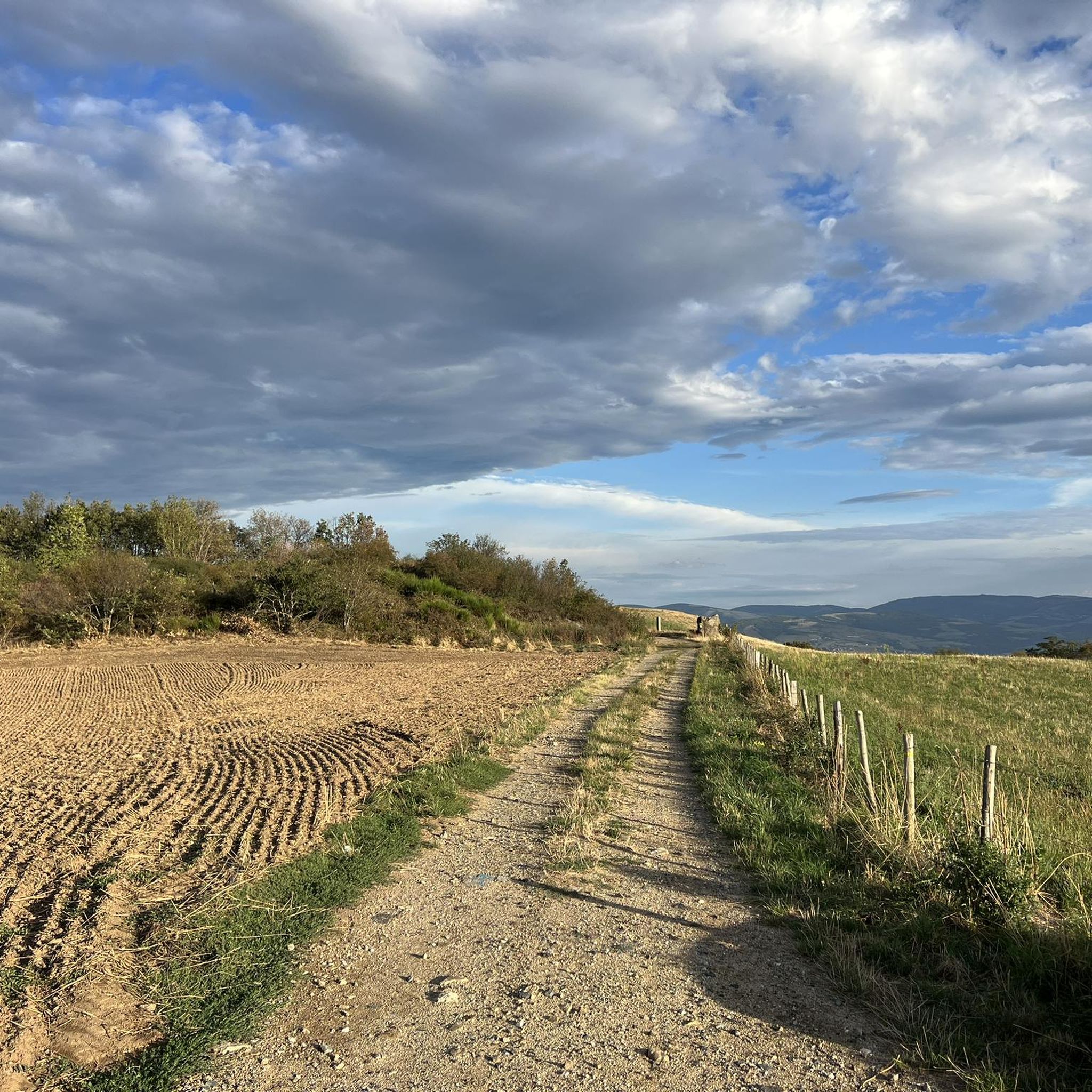
Road cycling in Aire Protégée Des "Prairies Et Landes De Montagny" (Appb) features a landscape characterized by rolling hills, open fields, and wooded sections. The region offers varied terrain suitable for road cyclists seeking both moderate climbs and scenic routes through natural areas. Elevations on some routes exceed 800 meters, providing challenging ascents and panoramic views. The protected area encompasses a mix of prairies and heathlands, contributing to diverse cycling environments.
Best road cycling routes in Aire Protégée Des "Prairies…
Last updated: October 5, 2026
4.4
(5)
101
riders
47.5km
02:26
810m
810m
Moderate road ride. Good fitness required. Mostly well-paved surfaces and easy to ride.
4.7
(7)
66
riders
37.2km
01:42
420m
420m
Moderate road ride. Good fitness required. Mostly well-paved surfaces and easy to ride.

4.8
(12)
56
riders
52.4km
02:33
740m
740m
Moderate road ride. Good fitness required. Mostly well-paved surfaces and easy to ride.
4.7
(7)
67
riders
45.3km
02:26
880m
880m
Moderate road ride. Good fitness required. Mostly well-paved surfaces and easy to ride.
42
riders
52.9km
02:36
820m
820m
Moderate road ride. Good fitness required. Mostly well-paved surfaces and easy to ride.
Get access to more routes and recommendations from other explorers.
Already have an account?
Our route recommendations are based on thousands of hikes, rides, and runs completed by other people on komoot.
Start today with a free account
Your next adventure awaits.
Popular around Aire Protégée Des "Prairies Et Landes De Montagny" (Appb)
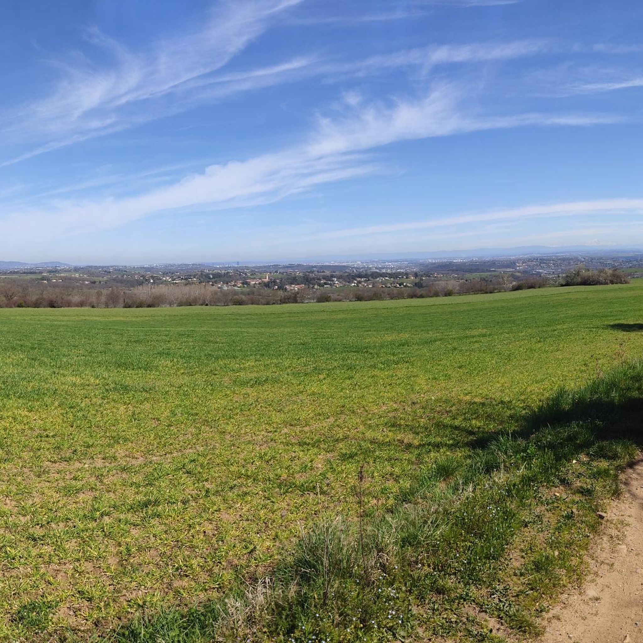
Hiking in Aire Protégée Des "Prairies Et Landes De Montagny" (Appb)
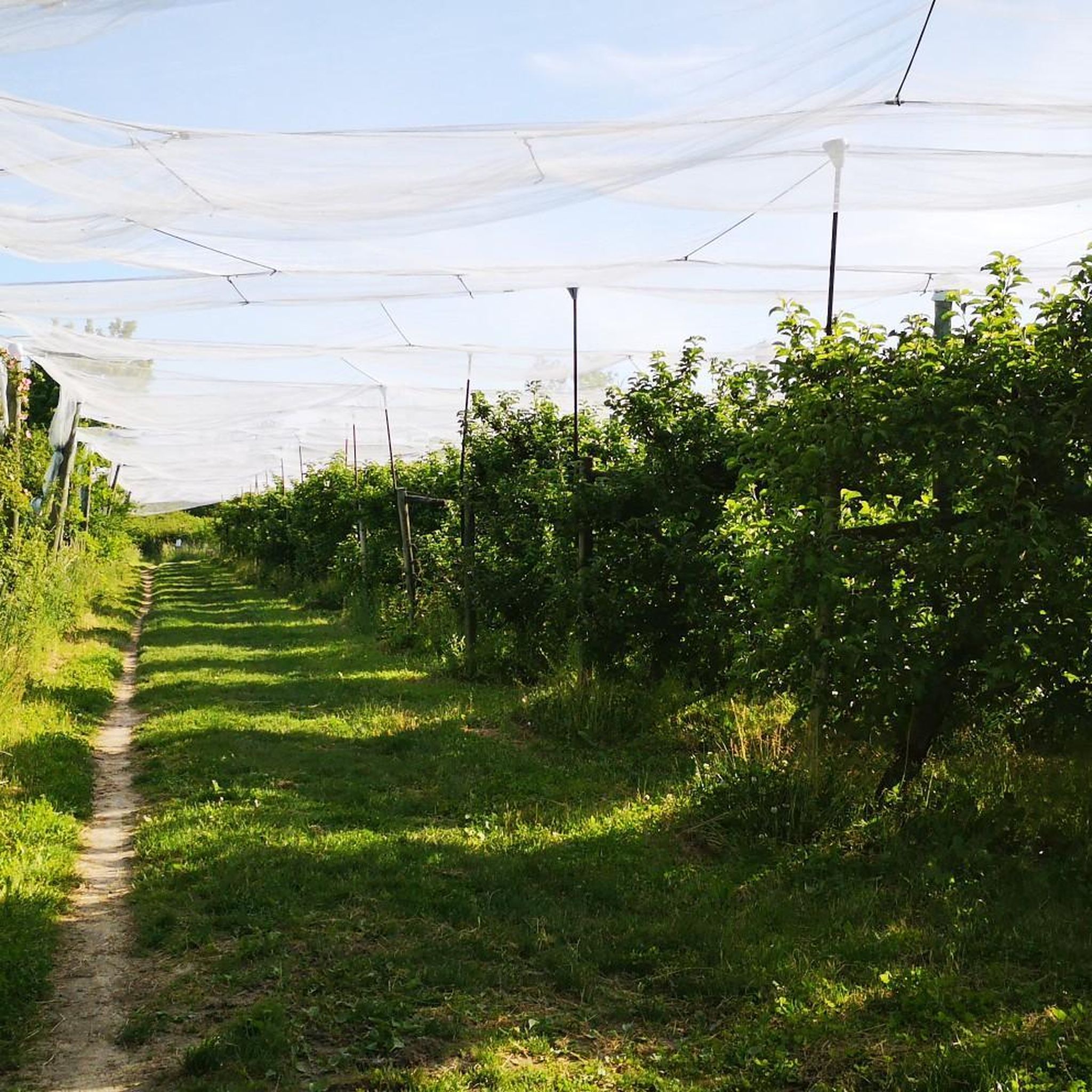
Running Trails in Aire Protégée Des "Prairies Et Landes De Montagny" (Appb)
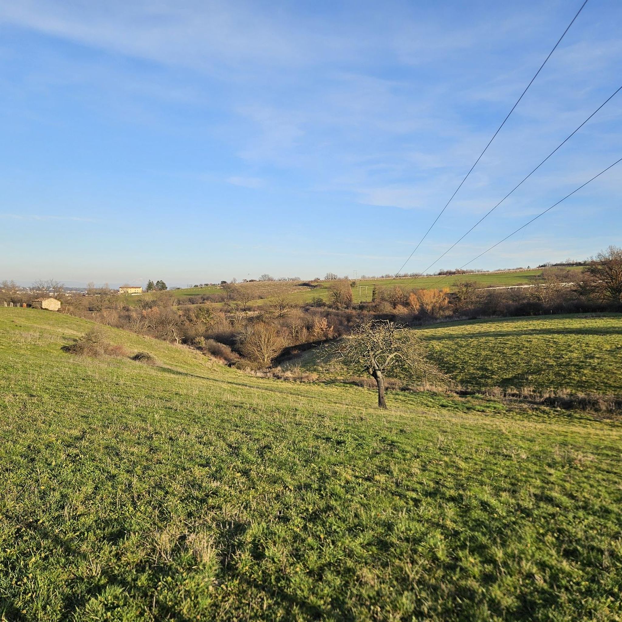
MTB Trails in Aire Protégée Des "Prairies Et Landes De Montagny" (Appb)
Gravel biking in Aire Protégée Des "Prairies Et Landes De Montagny" (Appb)
Cycling in Aire Protégée Des "Prairies Et Landes De Montagny" (Appb)
Tips from the Community

Throughout the route the view is magnificent, be careful in September hunting season is open, be visible and stay on the marked paths.
0
0

Opening hours are available on the town hall website. Check it out!
0
0

magnificent view of the valley and its orchards
0
0

Small town in the Monts du Lyonnais located 30 km from Lyon, beautiful view of the Lyon metropolitan area on a clear day. See the medieval site of Rochefort
0
0

The Saint-Vincent chapel is the oldest Romanesque chapel in the Rhône department. From its promontory, the panoramic view of the Lyon region, the Alps, and Mont du Pilat is spectacular.
0
0

Inaugurated in 1860, replacing a Romanesque church destroyed on occasion.
0
0
Small square in front of the church offering a bar and public toilets.
0
0
Very beautiful road closed to motorized traffic (except local residents) for approximately 4.8 km, between Saint-Martin-en-Haut and Larajasse. Particularly pleasant in the direction of descent (towards Larajasse).
0
0
Frequently Asked Questions
How many road cycling routes are available in Aire Protégée Des "Prairies Et Landes De Montagny" (Appb)?
There are over 200 road cycling routes available in Aire Protégée Des "Prairies Et Landes De Montagny" (Appb), offering a wide range of options for different skill levels and preferences.
What do other road cyclists enjoy most about road cycling in Aire Protégée Des "Prairies Et Landes De Montagny" (Appb)?
The area is highly rated by the komoot community, with an average score of 4.3 stars from over 240 reviews. Cyclists often praise the varied terrain, which includes rolling hills and scenic views, as well as the mix of open fields and wooded sections that make for diverse rides.
Are there easy road cycling routes suitable for beginners in Aire Protégée Des "Prairies Et Landes De Montagny" (Appb)?
Yes, the region offers a selection of easy road cycling routes perfect for beginners. You can find around 19 routes categorized as easy, providing gentler gradients and shorter distances to help new cyclists enjoy the landscape.
What kind of challenges can advanced road cyclists expect in Aire Protégée Des "Prairies Et Landes De Montagny" (Appb)?
Advanced road cyclists will find plenty of challenges, with around 70 routes categorized as difficult. Many routes feature significant elevation gains, sometimes exceeding 800 meters, offering demanding ascents and rewarding panoramic views. Routes like Sainte Catherine – Saint-Martin-en-Haut Church loop from Taluyers provide substantial climbs.
What is the typical length of road cycling routes in Aire Protégée Des "Prairies Et Landes De Montagny" (Appb)?
Route lengths vary significantly. For example, the Montagny Chapel – Historic Center of Montagny loop from Montagny is about 25.5 km, while the Best View in Saint-Vincent – Saint Vincent Chapel loop from Taluyers extends to 53 km. Most routes fall within a moderate distance range, offering rides from under an hour to several hours.
Are there circular road cycling routes in Aire Protégée Des "Prairies Et Landes De Montagny" (Appb)?
Yes, many of the road cycling routes in the area are designed as loops, allowing you to start and finish at the same point. Examples include the popular Le Boulard – View of Rontalon loop from Taluyers and the Chapelle St Martin de Cornas – Saint-Laurent Church loop from Taluyers.
Are there good viewpoints along the road cycling routes in Aire Protégée Des "Prairies Et Landes De Montagny" (Appb)?
Absolutely. The rolling hills and elevated sections of the region provide numerous opportunities for scenic viewpoints. Routes like the Best View in Saint-Vincent – Saint Vincent Chapel loop from Taluyers are specifically highlighted for their panoramic vistas over the surrounding prairies and heathlands.
What is the best time of year for road cycling in Aire Protégée Des "Prairies Et Landes De Montagny" (Appb)?
The spring and autumn months are generally ideal for road cycling in Aire Protégée Des "Prairies Et Landes De Montagny" (Appb). During these seasons, the weather is typically mild, and the natural landscape of prairies and heathlands is particularly vibrant. Summer can also be pleasant, especially in the mornings or late afternoons, but be prepared for warmer temperatures.
Are there family-friendly road cycling routes in Aire Protégée Des "Prairies Et Landes De Montagny" (Appb)?
While many routes involve rolling hills, there are easier sections and routes that can be adapted for families. Look for routes categorized as 'easy' which typically have less elevation gain and shorter distances, making them more suitable for a family outing.
Can I find cafes or pubs near the road cycling routes for a break?
Yes, many routes pass through or near small villages and towns where you can find local cafes, bakeries, or pubs. These spots offer a great opportunity to refuel and experience the local culture. Planning your route with komoot allows you to easily identify points of interest for breaks.
Is public transport available to reach road cycling trailheads in Aire Protégée Des "Prairies Et Landes De Montagny" (Appb)?
Public transport options to specific trailheads within the protected area may be limited. It's advisable to check local bus schedules or regional train services that connect to the larger towns surrounding the Aire Protégée, such as Taluyers or Montagny, and plan your starting point from there.
Where can I find parking for road cycling routes in Aire Protégée Des "Prairies Et Landes De Montagny" (Appb)?
Parking is generally available in the villages and towns that serve as common starting points for routes, such as Taluyers or Montagny. Look for designated public parking areas within these communities. Always check local signage for any restrictions or fees.
Most popular routes in Aire Protégée Des "Prairies Et Landes De Montagny" (Appb)

Get inspired with the komoot mobile app


Explore more
Browse the best Road cycling routes in other regions.
