The best MTB trails in Réserve Naturelle Régionale Du Massif De Saint-Barthélemy
4.4
(82)
754
riders
49
rides
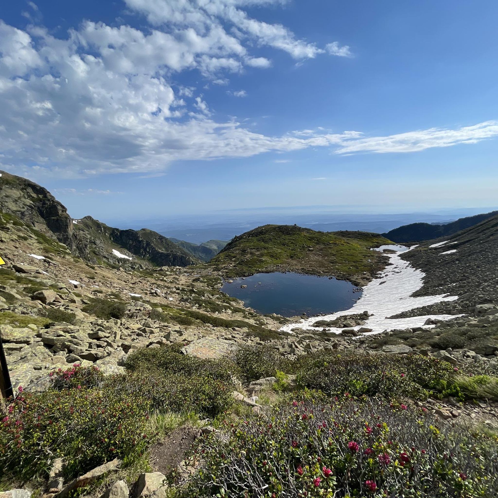
Mountain bike trails in Réserve Naturelle Régionale Du Massif De Saint-Barthélemy traverse a diverse landscape, ranging from 1300 m to 2368 m in elevation. The region features dense forests, flower-filled meadows, and alpine environments, with the peaks of Soularac and Saint-Barthélemy offering expansive views. Mountain bikers can explore routes around Moulzoune Pond and along the Touyre river, encountering varied terrain from deep valleys to higher alpine areas. This topography provides a range of trails suitable for different skill levels.
Best…
Last updated: October 7, 2026
2.0
(1)
5
riders
43.0km
05:33
1,790m
1,790m
Hard mountain bike ride. Very good fitness required. Advanced riding skills necessary. Some portions of the route may require you to push your bike.
4.5
(2)
6
riders
40.2km
04:04
1,490m
1,490m
Hard mountain bike ride. Very good fitness required. Advanced riding skills necessary. Some portions of the route may require you to push your bike.

5.0
(1)
21
riders
32.3km
04:01
1,230m
1,230m
Hard mountain bike ride. Very good fitness required. Advanced riding skills necessary. Some portions of the route may require you to push your bike.
2
riders
18.2km
02:55
980m
980m
Hard mountain bike ride. Very good fitness required. Advanced riding skills necessary. Some portions of the route may require you to push your bike.
4.0
(3)
17
riders
19.6km
02:02
560m
560m
Moderate mountain bike ride. Good fitness required. Advanced riding skills necessary.
Get access to more routes and recommendations from other explorers.
Already have an account?
Our route recommendations are based on thousands of hikes, rides, and runs completed by other people on komoot.
Start today with a free account
Your next adventure awaits.
Popular around Réserve Naturelle Régionale Du Massif De Saint-Barthélemy
Hiking in Réserve Naturelle Régionale Du Massif De Saint-Barthélemy
Road Cycling Routes in Réserve Naturelle Régionale Du Massif De Saint-Barthélemy
Cycling in Réserve Naturelle Régionale Du Massif De Saint-Barthélemy
Running Trails in Réserve Naturelle Régionale Du Massif De Saint-Barthélemy

Mountain Hikes in Réserve Naturelle Régionale Du Massif De Saint-Barthélemy
Tips from the Community

Impressive trail that runs through the gorge
0
0

The most distinctive feature in the design of Celtic crosses is the surrounding circle that connects the crossbars and the vertical beams. This circle is sometimes interpreted as a symbol for the sun; in accordance with this symbolism, Celtic crosses are sometimes also referred to as sun crosses. I found the following meditative reflection on this topic in the hospital chaplaincy of the Protestant deanery of Nassauer Land: "The sun cross is a special symbol of Celtic Christianity. It can become a symbol for spirituality. + What you can practice – the horizontal arm of the cross. Your conscious rituals, prayers, and moments of silence. The attention you give to the sacred. + What happens to you – the vertical arm of the cross. Experiences that touch and transform you. Moments in which you sense something greater than yourself. + What gives you meaning – the circle that encompasses both. Words, stories, and traditions that help to understand and share these experiences. Spirituality connects you with sources of strength that reach deeper than what you can see. For me, as a Christian, spirituality is a word for encountering the God who revealed himself in Jesus."
0
0

From Comus, so in the downhill direction with e-MTB. Magnificent and entirely feasible. We prudently dismounted on a few segments of 50-100 meters that were too steep and rocky. On the other hand, in the opposite direction, forget it!
0
0

Wooded and steep paths, The forest road is essential for transporting timber from the logging site to the public road and is an important part of timber transport.
18
0
Prades is a small village in the Ariège Pyrenees, situated at an altitude of 1,250 metres, in the heart of Cathar country. Its location is privileged, on the border with the Aude.
22
0
The Col de Marmare-Chioula is an 18.6-kilometer long Category 1 pass. It is located in Luzenac.
16
1
The city walls and remains of Cathars
19
0
Frequently Asked Questions
How many mountain bike trails are available in Réserve Naturelle Régionale Du Massif De Saint-Barthélemy?
There are over 40 mountain bike trails in the Réserve Naturelle Régionale Du Massif De Saint-Barthélemy, offering a wide range of options for different skill levels and preferences.
What is the best time of year for mountain biking in the Massif de Saint-Barthélemy?
The best time to visit for mountain biking is typically during the warmer months, from late spring to early autumn. This period offers more stable weather conditions and ensures trails are clear of snow, especially at higher elevations. The diverse landscapes, from dense forests to alpine meadows, are particularly beautiful during these seasons.
Are there mountain bike trails suitable for beginners or families?
Yes, while many trails are challenging, there are options for less experienced riders. The region offers 2 easy and 18 moderate trails. Look for routes around Moulzoune Pond or along the Touyre river, which tend to have more accessible terrain. For example, the Comus – Matmare Pass loop from Col de Marmare is a moderate option that provides a good balance of challenge and scenic beauty.
What kind of terrain can I expect on mountain bike trails in this region?
The Réserve Naturelle Régionale Du Massif De Saint-Barthélemy offers incredibly diverse terrain. You can expect everything from dense forests with century-old trees to flower-filled meadows, alpine lawns, and even peat bogs. Trails often feature significant elevation changes, ranging from 1300 m to 2368 m, with majestic peaks and deep valleys providing both challenging climbs and thrilling descents.
Are there any circular mountain bike routes?
Yes, many of the mountain bike routes in the region are designed as loops, allowing you to start and finish at the same point. A popular example is the difficult Gorges de la Frau – Comus loop from Montségur, which covers 42.9 km. Another option is the Col de Montségur – Path to Château de Montségur loop from Montségur, a 40.3 km difficult route.
What natural features or landmarks can I see while mountain biking?
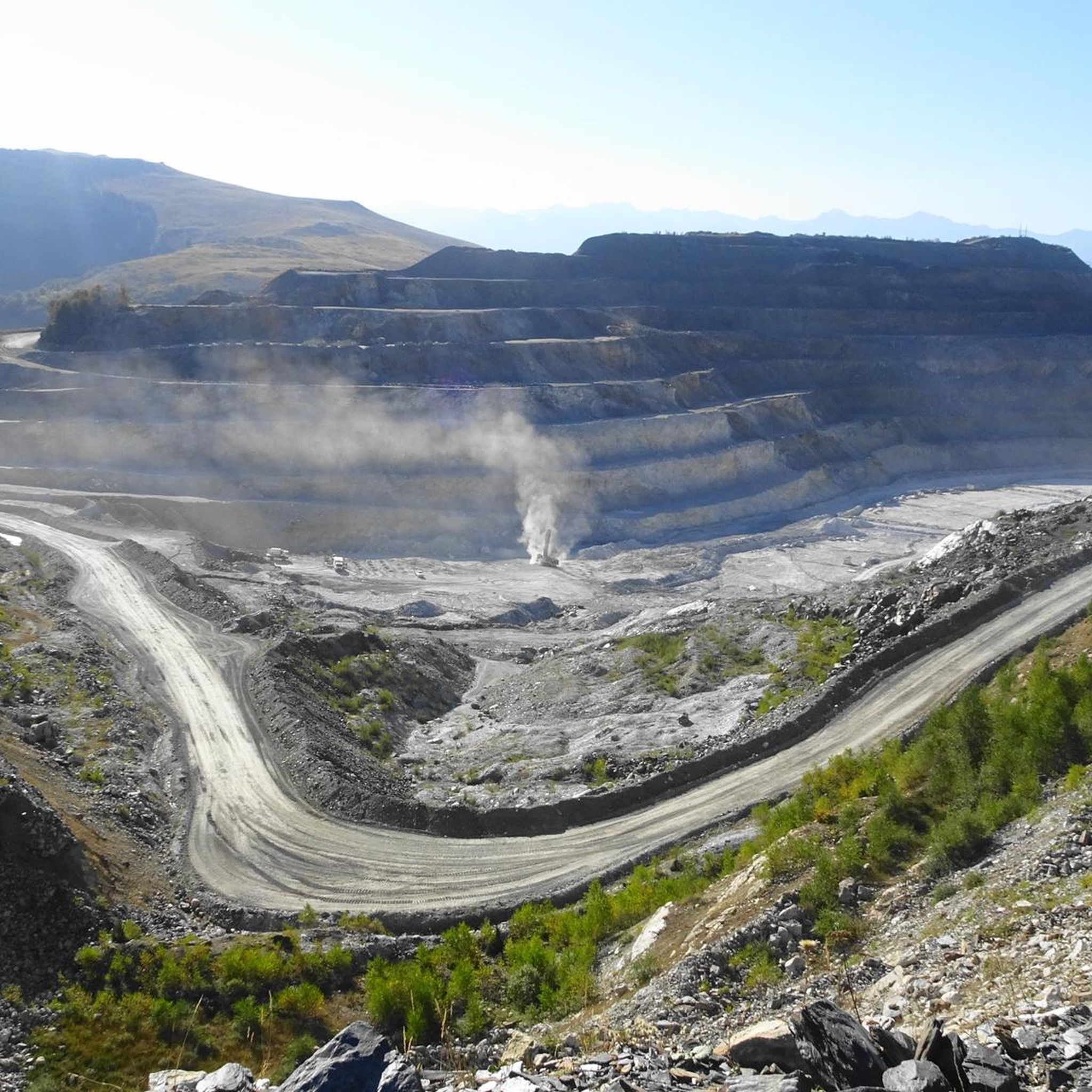
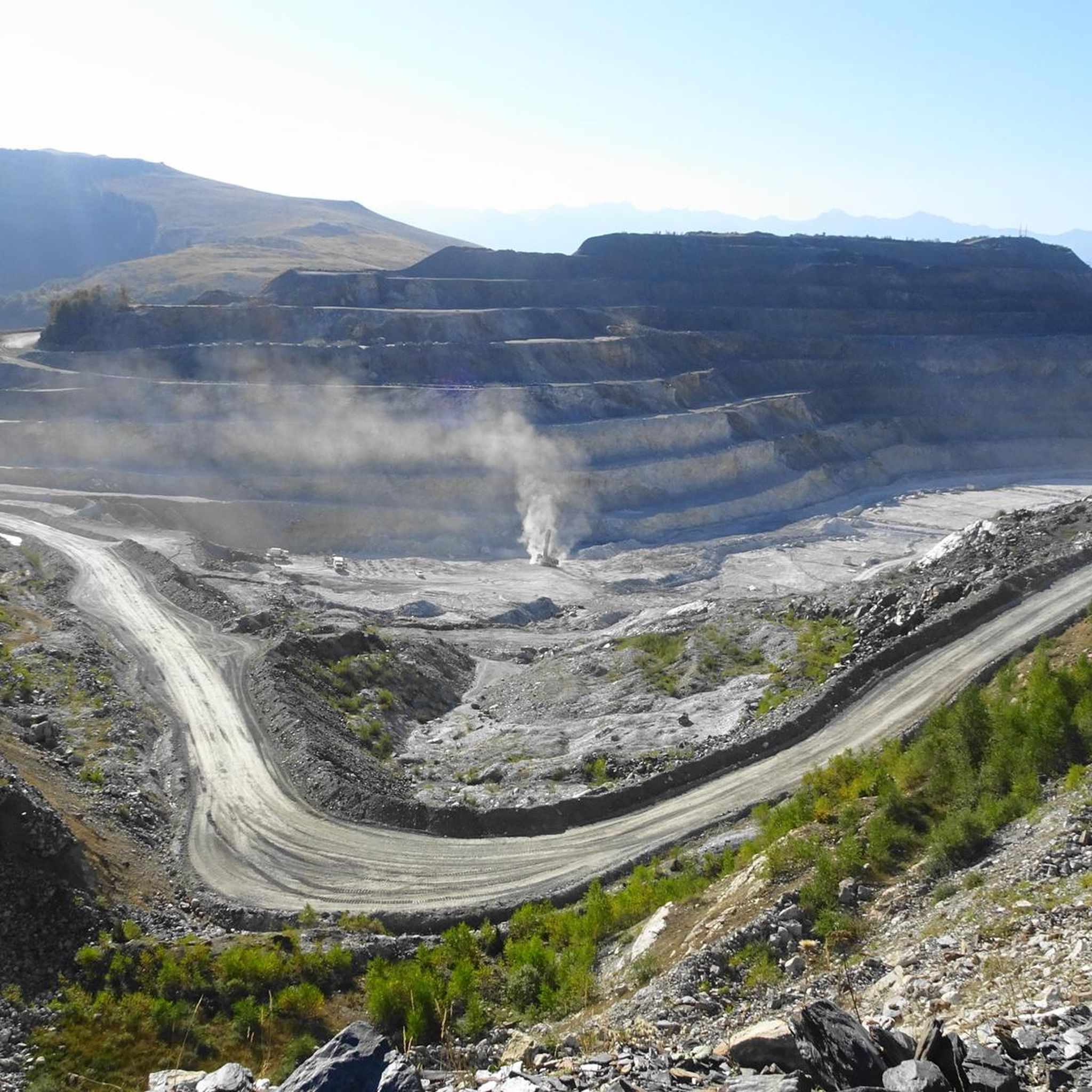
The reserve is rich in natural beauty and geological interest. You can expect panoramic views of the Cathar Pyrenees from peaks like Soularac (2368m) and Saint-Barthélemy. Water bodies such as Moulzoune Pond, glacial lakes, and the Touyre river are prominent features. You might also encounter traces of historical mining activity, like the old Fangas mines above Lac de Moulzoune, due to the Trimous talc fault that traverses the area.
What wildlife might I encounter on the trails?
The Réserve Naturelle Régionale Du Massif De Saint-Barthélemy is home to exceptional wildlife. Keep an eye out for Isards (Pyrenean chamois) roaming freely, golden eagles soaring above the peaks, and if you're very lucky, the elusive Pyrenean desmans near water bodies. The diverse habitats support a rich ecosystem.
Are there any easy mountain bike trails for a relaxed ride?
Yes, there are a couple of easy mountain bike trails in the Réserve Naturelle Régionale Du Massif De Saint-Barthélemy. These routes are generally shorter and have less demanding elevation changes, making them perfect for a relaxed ride or for those new to mountain biking. While specific easy routes aren't highlighted here, you can find them among the 43 available tours on komoot.
What do other mountain bikers say about the trails in Réserve Naturelle Régionale Du Massif De Saint-Barthélemy?
The mountain bike routes in Réserve Naturelle Régionale Du Massif De Saint-Barthélemy are highly rated by the komoot community, with an average score of 4.5 stars from over 65 reviews. Riders often praise the diverse landscapes, from challenging alpine sections to scenic forest paths, and the well-maintained trail networks that cater to various skill levels.
Are there any challenging mountain bike trails for experienced riders?
Absolutely. The region is well-suited for experienced mountain bikers looking for a challenge, with 23 difficult trails available. These routes often feature significant elevation gains and technical descents. Examples include the Col de Montségur – Celtic cross loop from Montferrier, a 16.9 km difficult trail, and the Path to Château de Montségur loop from Montferrier, which is 17.9 km and also rated difficult.
What is the typical duration for mountain bike trails in this area?
Trail durations vary significantly based on length and difficulty. For example, a difficult route like the Gorges de la Frau – Comus loop from Montségur (42.9 km) can take around 5 hours 32 minutes, while a shorter, difficult trail such as the Col de Montségur – Celtic cross loop from Montferrier (16.9 km) might take about 1 hour 48 minutes. Moderate trails like the Comus – Matmare Pass loop from Col de Marmare (19.5 km) typically take around 2 hours 3 minutes.
Most popular routes in Réserve Naturelle Régionale Du Massif De Saint-Barthélemy

Get inspired with the komoot mobile app


Explore more
Browse the best MTB trails in other regions.
