Réserve Naturelle Nationale Géologique De Haute-Provence
Réserve Naturelle Nationale Géologique De Haute-Provence
The best MTB trails in Réserve Naturelle Nationale Géologique De Haute-Provence
4.3
(790)
7,279
riders
230
rides
Mountain bike trails in Réserve Naturelle Nationale Géologique De Haute-Provence traverse a diverse landscape shaped by unique geological history. The region features extensive networks of trails through varied terrain, including the distinctive clay-limestone sediments of Les Terres Noires. Coniferous and mixed forests, natural grasslands, and scrublands provide a range of environments for mountain biking. The reserve's geological formations offer a backdrop for routes suitable for different skill levels.
Best mountain bike trails in Réserve Naturelle Nationale Géologique De Haute-Provence
- The…
Last updated: October 11, 2026
7
riders
Moderate mountain bike ride. Good fitness required. Suitable for all skill levels.
5.0
(2)
10
riders
62.3km
04:38
1,170m
1,170m
Hard mountain bike ride. Very good fitness required. Suitable for all skill levels.

5.0
(1)
10
riders
94.1km
09:02
2,600m
2,600m
Hard mountain bike ride. Very good fitness required. Advanced riding skills necessary.
3
riders
38.1km
03:38
1,170m
1,170m
Hard mountain bike ride. Very good fitness required. Advanced riding skills necessary. Some portions of the route may require you to push your bike.
1.0
(1)
5
riders
19.0km
01:19
290m
290m
Easy mountain bike ride. Great for any fitness level. Suitable for all skill levels.
Get access to more routes and recommendations from other explorers.
Already have an account?
Our route recommendations are based on thousands of hikes, rides, and runs completed by other people on komoot.
Start today with a free account
Your next adventure awaits.
Popular around Réserve Naturelle Nationale Géologique De Haute-Provence
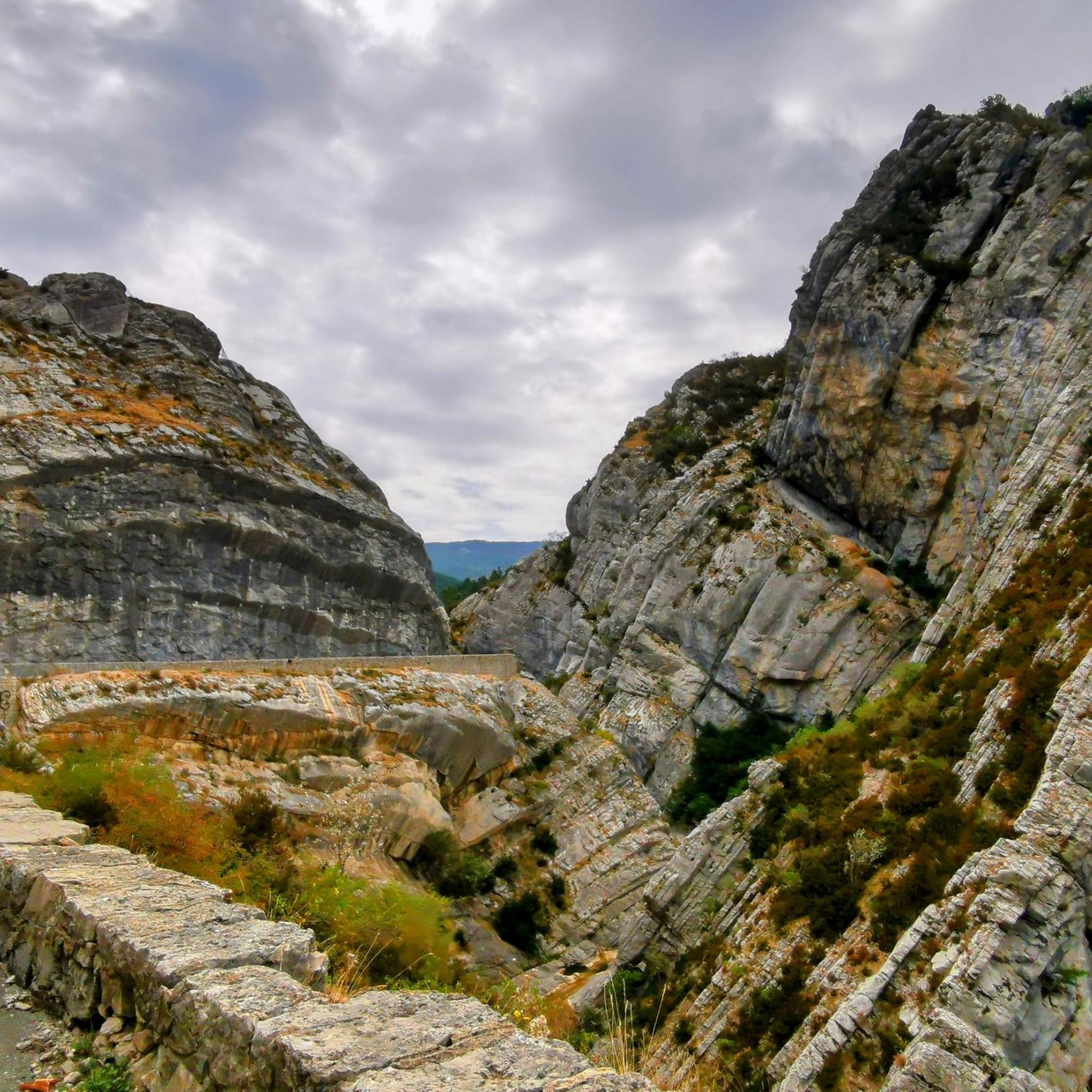
Hiking in Réserve Naturelle Nationale Géologique De Haute-Provence
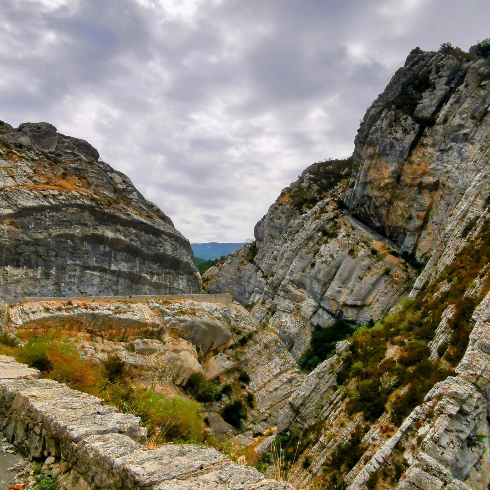
Road Cycling Routes in Réserve Naturelle Nationale Géologique De Haute-Provence

Gravel biking in Réserve Naturelle Nationale Géologique De Haute-Provence
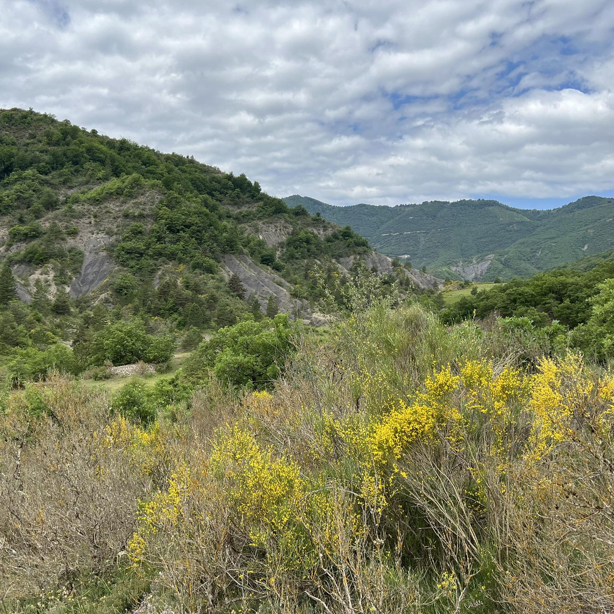
Cycling in Réserve Naturelle Nationale Géologique De Haute-Provence
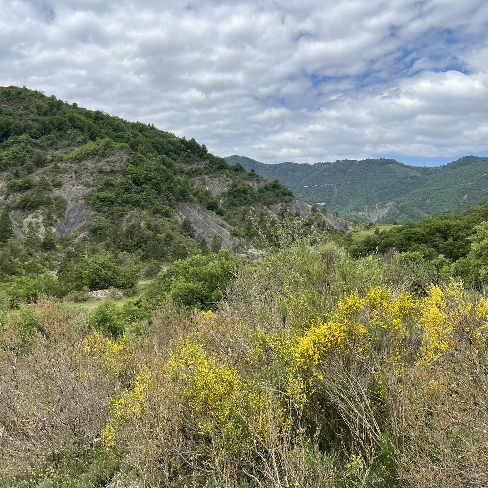
Running Trails in Réserve Naturelle Nationale Géologique De Haute-Provence
Tips from the Community

Beautiful rock formation. You'd think you were in the Wild West!
0
0

Beautiful path and nice views. You can't cycle everywhere because of the large stones. You will have to walk a bit.
0
0

The circular hike was closed, the campsite and the cafe were closed
0
0

The western access is good for climbing and the eastern access for descending; we had little traffic.
1
0

At a certain point you find yourself in front of these two giants and you can't help but stop and admire them.
13
0
The canyon is something exceptional
12
0

The Col des Robines peaks at 988m and will allow you to climb to almost 1000m without making any effort because from Moriez you would have a slope of around 3km with a slope not exceeding 5% and on the Saint-André les Alpes side this will be shorter, around 1.5 km, but harder with an average of 6-7%. Be careful, however, of the often very heavy traffic on this pass because it is on the RN 202 which is HUGELY used almost all year round.
1
0

Located between Moriez and Corchon, this path offers a clear view of the surrounding area. A small cross is erected at the top.
0
0
Frequently Asked Questions
How many mountain bike trails are available in Réserve Naturelle Nationale Géologique De Haute-Provence?
There are over 230 official, marked, and maintained mountain bike itineraries in the Réserve Naturelle Nationale Géologique De Haute-Provence, offering a wide range of experiences for all skill levels. These include routes for X-Country, All Mountain, Enduro, and Downhill riding.
What kind of terrain can I expect on the mountain bike trails?
The region's unique geological heritage means you'll encounter diverse terrain. This includes the distinctive clay-limestone sediments (marl) of the 'Les Terres Noires' area, as well as coniferous and mixed forests, natural grasslands, and scrublands. The landscapes are shaped by ancient geological processes, providing a rugged and varied backdrop for your ride.
Are there mountain bike trails suitable for beginners in the Réserve Naturelle Nationale Géologique De Haute-Provence?
Yes, the reserve offers a good selection of trails suitable for beginners. Out of over 230 routes, approximately 20 are classified as easy, providing a gentle introduction to mountain biking in the region. These trails are designed to be fun and accessible for those new to the sport.
What are some challenging mountain bike routes for experienced riders?
For experienced riders seeking a challenge, there are over 110 difficult routes available. An example is the View of Le Roc de Castellane – Col des Lèques (1146 m) loop from Barrême, a demanding 38.6-mile (62.0 km) path featuring significant elevation gain and panoramic views. Another option is the Bès Footbridge – Pérouré Gorge loop from La Robine-sur-Galabre, a 24.1-mile (38.8 km) trail through varied landscapes.
Are there any circular mountain bike trails in the region?
Yes, many of the mountain bike trails in the Réserve Naturelle Nationale Géologique De Haute-Provence are designed as loops, allowing you to start and finish at the same point. For example, the Barrême – Senez loop from Barrême is a moderate 19.4 km (12.1 miles) route, and the Senez – Barrême loop from Barrême offers a 23.8 km (14.8 miles) moderate ride.
What is the best time of year for mountain biking in Réserve Naturelle Nationale Géologique De Haute-Provence?
The region's climate, characterized by ample sunshine and mild temperatures, makes it an ideal destination for mountain biking throughout the year. While spring and autumn offer pleasant conditions, even winter can be suitable for riding, depending on specific trail conditions and elevation.
What can I see along the mountain bike trails in terms of natural attractions?
The reserve is rich in geological wonders. Along the trails, you might encounter impressive formations like the Clue de Barles canyon or the Clue de Taulanne Rock Arch. The Bès gorges and valley also offer stunning natural scenery. The entire area is a testament to 300 million years of Earth's history.
Are there any unique geological landmarks to visit in the area?
Absolutely. The Réserve Naturelle Nationale Géologique De Haute-Provence is renowned for its geological heritage. You can visit the impressive Dalle aux Ammonites in Digne, featuring giant ammonite fossils. There are also sites with fossil remains of Ichthyosaurs, such as the Ichthyosaur Fossil – Réserve Naturelle Géologique de Haute-Provence, and Sirenians. The Musée-Promenade in Digne-les-Bains offers an engaging way to learn about the region's geological and cultural history.
What do other mountain bikers enjoy most about the trails here?
The mountain bike trails in Réserve Naturelle Nationale Géologique De Haute-Provence are highly rated by the komoot community, with an average score of 4.4 stars from over 600 reviews. Riders often praise the diverse landscapes, from the unique 'Les Terres Noires' to extensive forest paths, and the well-maintained network of trails suitable for various skill levels.
Is the 'Les Terres Noires' area suitable for mountain biking?
Yes, 'Les Terres Noires' near Digne-les-Bains is considered a mountain biker's paradise. Its distinctive clay-limestone sediments create rugged terrain with fast descents and technical, winding trails. The unique 'black' appearance of the marl adds to the area's dramatic scenery, making it a highly sought-after destination for mountain biking.
How long do mountain bike trails typically take to complete?
Trail durations vary significantly based on distance and difficulty. For example, a moderate route like Le Tour de Lieye − Réserve Naturelle Nationale Géologique de Haute Provence, which is 19.3 km (11.9 miles) long, typically takes around 1 hour 58 minutes. More difficult and longer routes, such as the 62.0 km (38.6 miles) View of Le Roc de Castellane – Col des Lèques (1146 m) loop from Barrême, can take over 4 hours.
Most popular routes in Réserve Naturelle Nationale Géologique De Haute-Provence
Most popular attractions in Réserve Naturelle Nationale Géologique De Haute-Provence

Get inspired with the komoot mobile app


Explore more
Browse the best MTB trails in other regions.
