The best running trails in Toraggio - Gerbonte
4.4
(10)
746
runners
43
runs
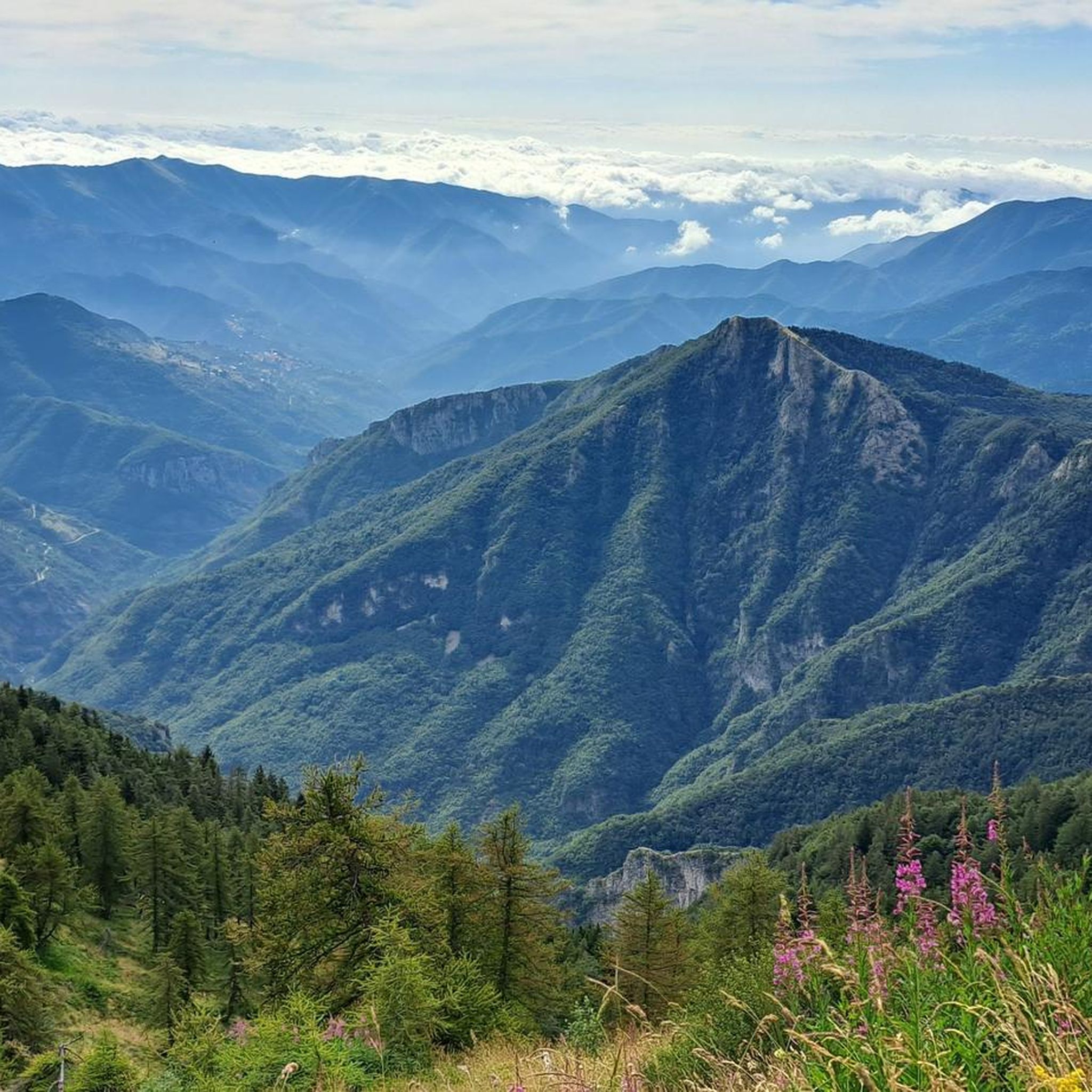
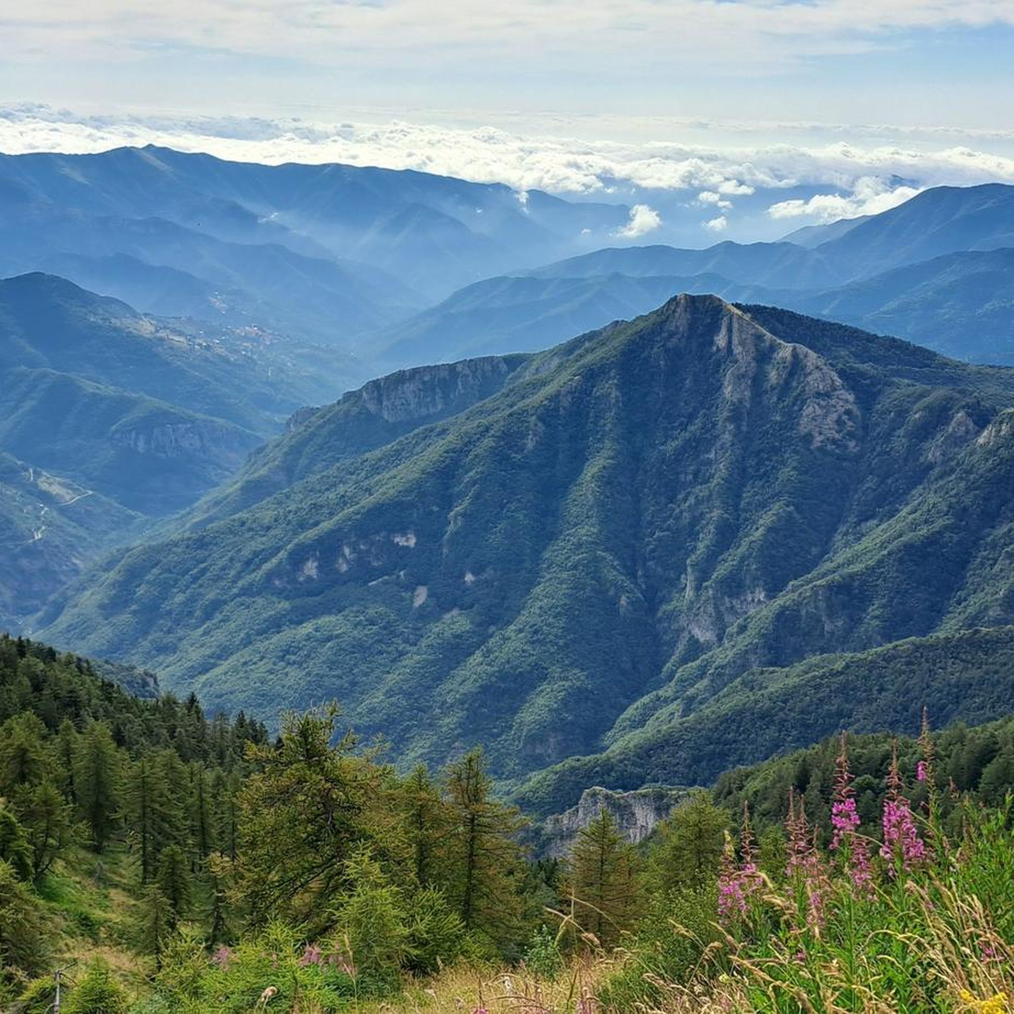
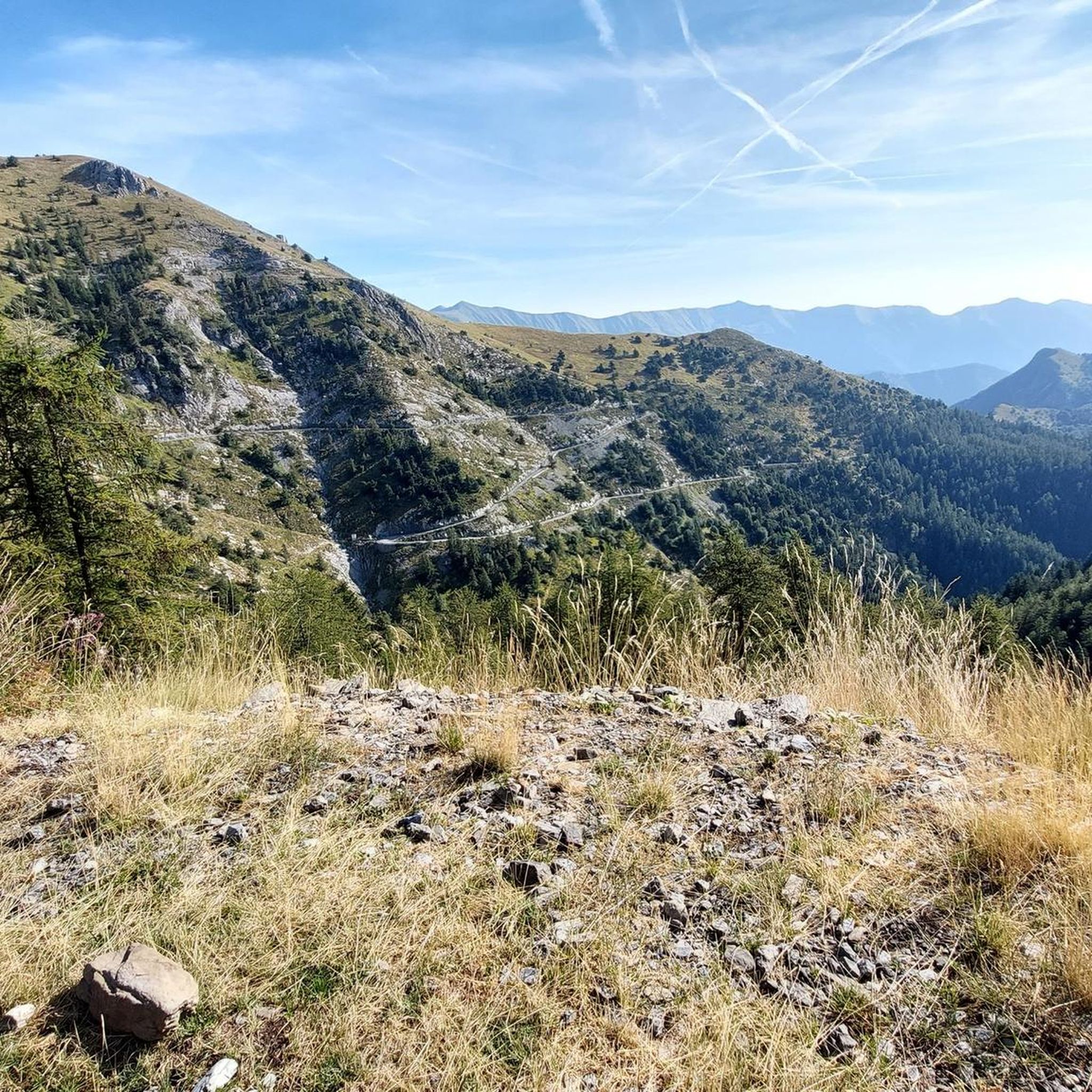
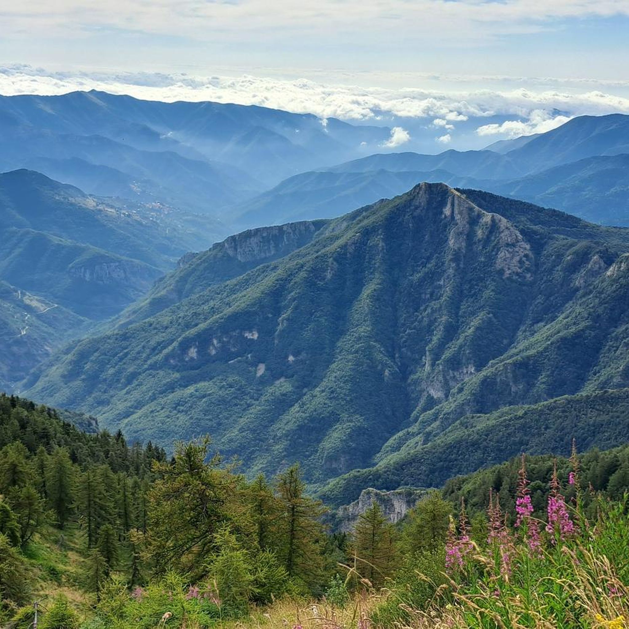
Jogging in Toraggio - Gerbonte offers diverse landscapes, from high-elevation alpine scenery to cultivated fields and ancient forests. The region, straddling the Italian-French border, features prominent peaks like Monte Toraggio (1,973 meters) and Monte Gerbonte (1,728 meters). Running routes traverse varied terrain, including well-maintained paths through Mediterranean scrubland and more rugged mountain trails. This area provides a unique blend of ecosystems, making for constantly changing natural backdrops for runners.
Best jogging routes in Toraggio - Gerbonte
- The most popular jogging…
Last updated: October 2, 2026
24
runners
Hard run. Very good fitness required. Sure-footedness, sturdy shoes and alpine experience required.
5.0
(1)
17
runners
17.8km
02:25
690m
690m
Hard run. Very good fitness required. Sure-footedness, sturdy shoes and alpine experience required.

5.0
(1)
9
runners
Hard run. Very good fitness required. Sure-footedness, sturdy shoes and alpine experience required.
5
runners
Hard run. Very good fitness required. Sure-footedness, sturdy shoes and alpine experience required.
21
runners
22.9km
04:19
1,520m
1,520m
Hard run. Very good fitness required. Sure-footedness, sturdy shoes and alpine experience required.
Get access to more routes and recommendations from other explorers.
Already have an account?
Our route recommendations are based on thousands of hikes, rides, and runs completed by other people on komoot.
Start today with a free account
Your next adventure awaits.


Tips from the Community

Unmissable stop every year. They are kind and you feel great. Book in advance because it is a very popular crossroads.
0
0

bellissimo corner of the Ligurian Alps, ideal in late spring and autumn
0
0

Bivouac in a very scenic position along the ridge that connects the Fronté to the Saccarello, in a strategic position for treks that climb from the sea to the Alps
0
0
Beautiful panoramic summit, with views ranging from the sea to the Ligurian Alps, passing through the Marguareis-Mongioie chain.
0
0
Refuge-hotel located in a very panoramic position
0
0

Dreamlike landscape and hardly any people
0
0

Well-marked path, wonderful panoramic view, very important defensive place of interest with bunkers located on the border line.
0
0

Starting October 1, 2023, reservations for the Sanremo Refuge will be managed remotely using the Bivypass system, accessible at www.parks.it/rif/sanremo. Once your reservation is complete and payment is made, the system will send you a numeric code valid for one day that will open the refuge's entrance door. Guests are kindly requested to complete the attached file with their contact information and send it to inforifugio@caisanremo.it. ATTENDANCES-RIF-SANREMO For clarifications or information, please contact the following numbers: Riccardo: +39 3474031293 Alberto: +39 3272274813 or write to the dedicated email address inforifugio@caisanremo.it
0
0
Frequently Asked Questions
How many running routes are available in Toraggio - Gerbonte?
Toraggio - Gerbonte offers a wide selection of running routes, with over 40 trails recorded on komoot. These routes cater to various fitness levels, from easy paths to challenging mountain runs.
What kind of landscapes can I expect while jogging in Toraggio - Gerbonte?
Runners in Toraggio - Gerbonte can experience incredibly diverse landscapes. The region features high-elevation alpine scenery, dramatic rock formations, and ancient forests like those on Monte Gerbonte. At lower altitudes, you'll find cultivated fields and Mediterranean scrubland. This unique blend of alpine and Mediterranean ecosystems provides a constantly changing and scenic backdrop for your run.
Are there easy running routes suitable for beginners in Toraggio - Gerbonte?
Yes, while many routes are challenging, there are options for beginners. The guide lists 1 easy route and 8 moderate routes, which can be a good starting point for those new to running in the area. These paths often feature predominantly well-maintained surfaces.
Are there any circular running trails in Toraggio - Gerbonte?
Yes, many of the running routes in Toraggio - Gerbonte are designed as loops, allowing you to start and finish at the same point. For example, the Monte Toraggio (1972 m) loop from Mont Peïrevieille / Monte Pietravecchia is a popular circular option offering expansive alpine views.
What are some notable landmarks or points of interest I might see along the running routes?
The region is rich in natural and historical points of interest. You might encounter the historic Sentiero degli Alpini, which crosses the Italian-French border, or reach the summit of Monte Toraggio itself for panoramic views. There are also mountain huts like Monte Grai Hut, which can serve as rest points or destinations.
Can I bring my dog on the running trails in Toraggio - Gerbonte?
While specific regulations can vary, many trails in natural mountain areas are generally dog-friendly, especially if your dog is well-behaved and kept on a leash. Given the diverse fauna in Toraggio - Gerbonte, including wolves, it's advisable to keep dogs under strict control to protect wildlife and ensure their safety.
Are there any family-friendly running routes in Toraggio - Gerbonte?
For families, it's best to look for the easier or moderate routes with less elevation gain and shorter distances. The region offers some easily accessible paths that could be suitable for a family run or walk, allowing everyone to enjoy the natural beauty without excessive challenge.
What is the best time of year to go running in Toraggio - Gerbonte?
The best time for running generally depends on the specific route and elevation. Spring and autumn offer pleasant temperatures and vibrant scenery. In summer, higher altitude trails provide cooler conditions. Winter running is possible, but be prepared for snow and ice, especially on higher mountain paths, and check local conditions before heading out.
Where can I park when accessing running routes in Toraggio - Gerbonte?
Parking availability will vary depending on the specific trailhead. Many popular starting points for mountain trails, especially those near villages or mountain passes, typically have designated parking areas. It's recommended to check the route details on komoot for specific parking information related to your chosen trail.
What do other runners enjoy most about jogging in Toraggio - Gerbonte?
The running routes in Toraggio - Gerbonte are highly rated by the komoot community, with an average score of 4.4 stars from over 7 reviews. Runners often praise the unique blend of alpine and Mediterranean scenery, the challenging yet rewarding terrain, and the expansive views from prominent peaks like Monte Toraggio.
Are there any mountain huts or shelters along the running routes?
Yes, there are mountain huts in the region that can serve as rest stops or destinations. For instance, the Monte Grai Hut and the Allavena Mountain Hut are notable facilities that runners might encounter or aim for during their runs, providing opportunities for a break or refreshment.
What are some of the more challenging running routes in the area?
Toraggio - Gerbonte is known for its challenging mountain trails. Routes like the Monte Grai Hut – Marta's Balcony loop from Mont Peïrevieille / Monte Pietravecchia, which covers 22.5 km with significant elevation gain, offer a demanding experience for advanced runners seeking high-altitude landscapes and panoramic viewpoints.
Most popular routes in Toraggio - Gerbonte
Most popular attractions in Toraggio - Gerbonte

Get inspired with the komoot mobile app


Explore more
Browse the best Running Trails & Routes in other regions.
