The best road cycling routes around Hohenleimbach
4.7
(83)
1,755
riders
94
rides
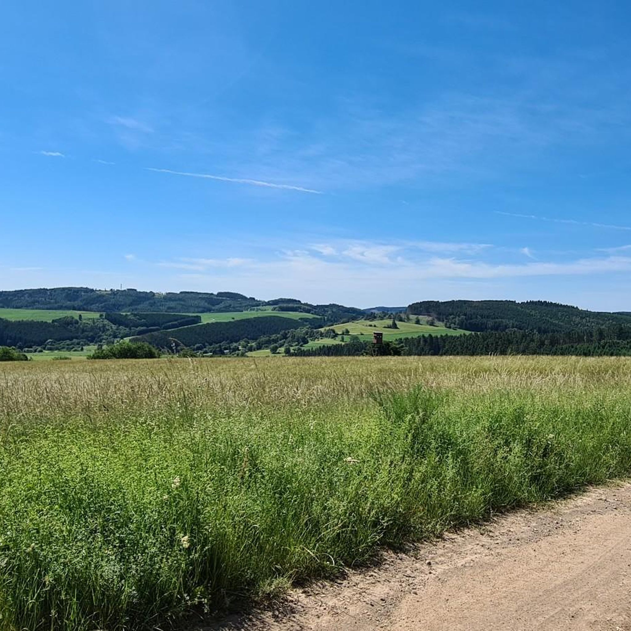
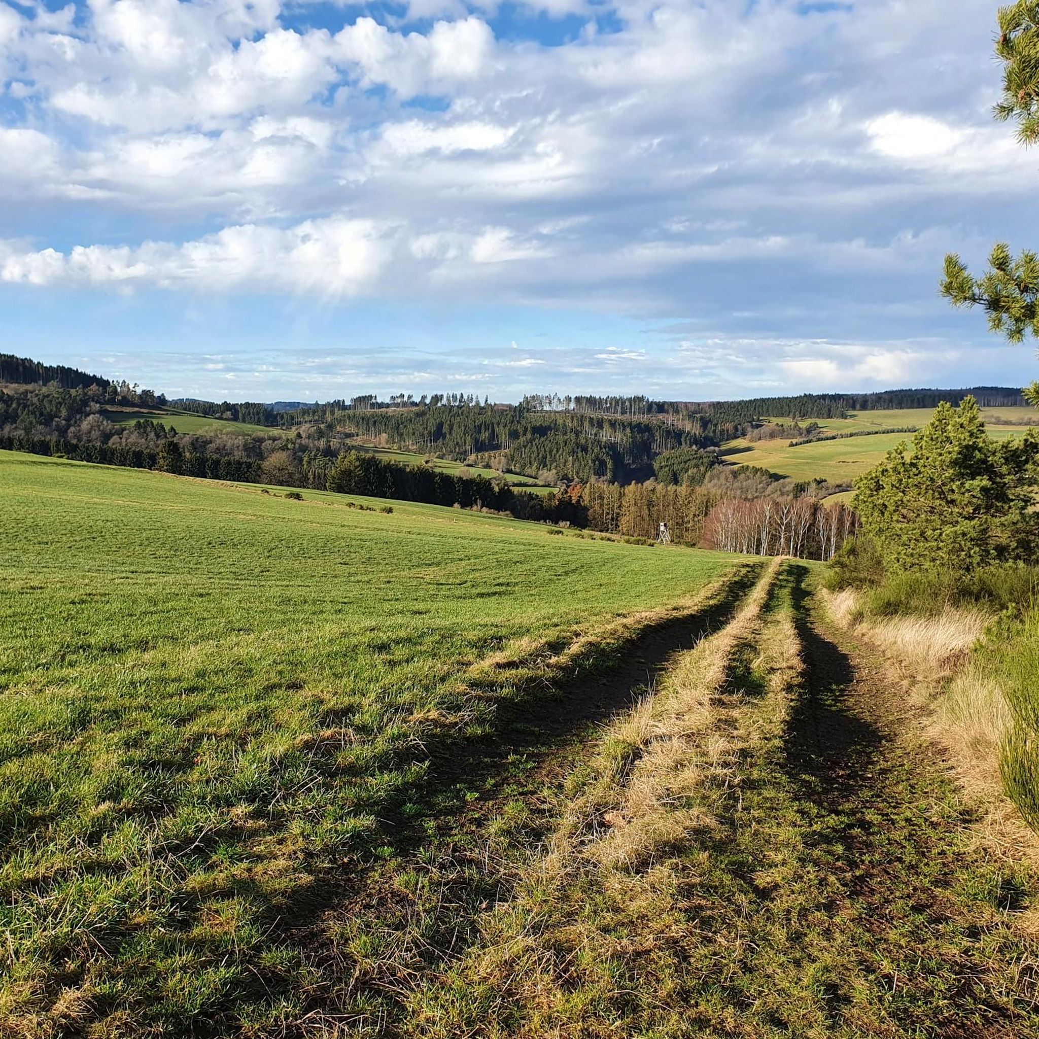
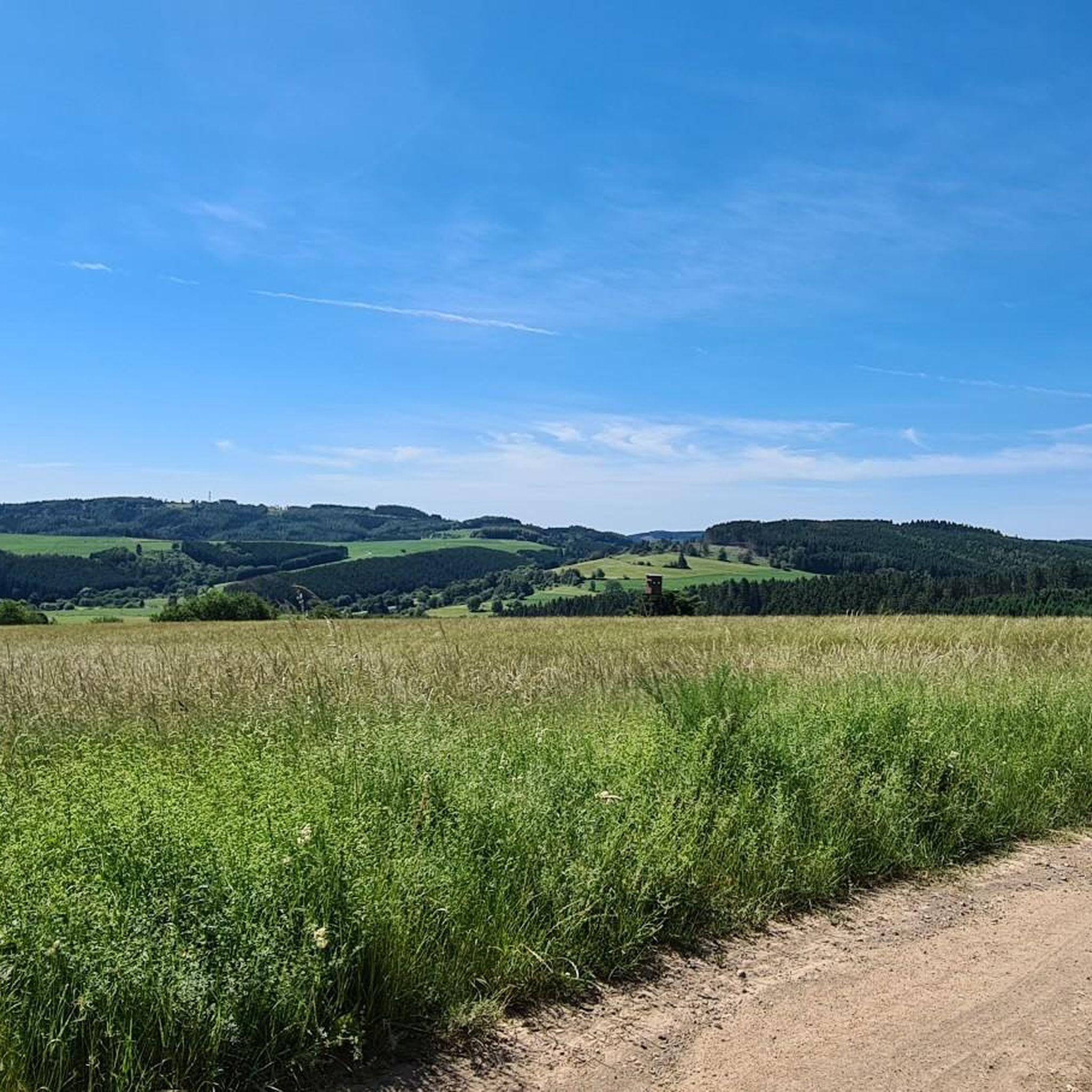
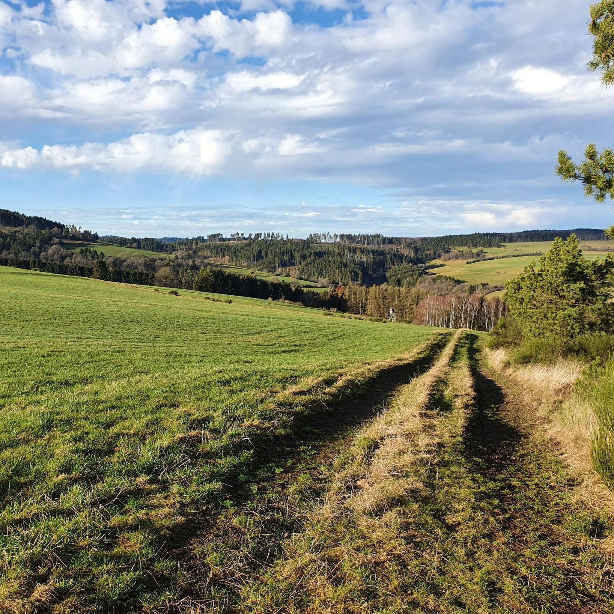
Road cycling routes around Hohenleimbach are situated in the Eifel region of Rhineland-Palatinate, Germany, at an elevation of 512 meters above sea level. The area is characterized by the Eifel low mountain range, featuring a varied topography of forests, valleys, and elevated ridges, providing diverse terrain for road cyclists. The Nette river winds through idyllic landscapes, and the region's roads offer both ascents and descents. This environment provides physical challenges and rewarding views for road cyclists.
Best road cycling routes…
Last updated: July 10, 2026
4.8
(6)
71
riders
54.2km
02:42
850m
860m
This moderate 33.7-mile (54.2 km) road cycling route in the Eifel offers panoramic views and challenging climbs over 2805 feet of elevation.
4.7
(6)
67
riders
50.5km
02:32
710m
710m
Moderate road ride. Good fitness required. Some segments of this route may be unpaved and difficult to ride.

Sign up for free
4.5
(2)
63
riders
49.1km
02:33
740m
740m
Moderate road ride. Good fitness required. Some segments of this route may be unpaved and difficult to ride.
5.0
(1)
28
riders
75.1km
03:27
840m
840m
Moderate road ride. Good fitness required. Some segments of this route may be unpaved and difficult to ride.
17
riders
89.5km
04:17
1,200m
1,200m
Hard road ride. Very good fitness required. Some segments of this route may be unpaved and difficult to ride.
Get access to more routes and recommendations from other explorers.
Sign up for free
Already have an account?
Our route recommendations are based on thousands of hikes, rides, and runs completed by other people on komoot.
Start today with a free account
Your next adventure awaits.
Login or Signup
Tips from the Community

At the moment the road to Altenahr is closed here
0
0

The northern gate of the city fortifications, which still exists today, is the gatehouse located on the Nette river, built between 1299 and 1354. It secured the crossing of the Nette and primarily served as the city entrance from the direction of Koblenz, which is why it also bears the name "Koblenzer Tor" (Koblenz Gate). Since there are no signs of a slot in the wall for a portcullis, it is assumed that a drawbridge to the bridge pier on the Nette was used to secure the gate. Due to the flood in 1598, the gatehouse collapsed along with the outer gate. However, the chiseled number 1599 testifies that the gatehouse was rebuilt just one year later. From the beginning of the 19th century until 1855, the gatehouse was used as a prison. The city coat of arms, added in 1911, is still visible today. Source: Jonas Breithaupt, University of Koblenz-Landau, 2015
4
0

The oldest part of Bürresheim Castle is the imposing keep, a 12th-century tower that clearly reflects the castle's defensive origins. Over time, the castle developed into a complex double complex, consisting of the so-called Cologne Castle and the Trier Castle, which underwent different construction and expansion phases. While the Cologne Castle formed the older part and primarily served economic purposes—leading to its eventual decline—the Trier Castle was transformed into a prestigious residential palace, which continues to shape the character of the entire complex to this day.
4
0

The Brückentor (Bridge Gate) is one of Mayen's few remaining medieval city gates and once served as the most important entrance for travelers coming from Koblenz. Today, this historic building houses the Mayen Carnival Museum, which brings the city's long tradition of "Faasenaacht" (Carnival Night) to life.
1
0

Unfortunately, you have to cycle on a country road without a bike path. In heavy traffic, caution is advised when crossing the Abtei road.
10
1
A very beautiful market square with beautiful buildings (town hall, church, and castle). Plenty of cafés and restaurants, bakeries, etc., offer opportunities for a rest and refreshment.
11
0
The late Gothic castle was besieged, destroyed, and rebuilt several times over the course of its eventful history. The current complex consists of the upper castle with the 34-meter-high Golo Tower and the slightly lower outer castle. The castle is protected from the city by a large castle gate, and on the other side by the keep and a moat complex. The former moat is now a ring road spanned by a 20-meter-long Gothic stone bridge. The Genovevaburg Castle houses two exhibitions of the Eifel Museum: EifelTotal and the German Slate Mine.
10
0
The castle belongs to the municipality of Sankt Johann in Rhineland-Palatinate and is located northwest of Mayen on a rocky outcrop at the confluence of the Nitzbach and Nette rivers. Along with Eltz Castle and Lissingen Castle, Bürresheim Castle is one of the few aristocratic residences in the Eifel region that was never conquered or destroyed, surviving unscathed both the wars of the 17th and 18th centuries and the social upheavals resulting from the French Revolution. Its history was largely shaped by its location on the border between the two ecclesiastical electorates of Cologne and Trier.
10
0
Frequently Asked Questions
What kind of terrain and elevation can I expect on road cycling routes around Hohenleimbach?
Hohenleimbach, situated at 512 meters above sea level in the Eifel region, offers a varied topography of forests, valleys, and elevated ridges. Road cyclists can expect a dynamic environment with significant ascents and descents, providing both physical challenges and rewarding views. The region is characterized by the Eifel low mountain range, ensuring a diverse and engaging ride.
Are there road cycling routes suitable for different skill levels in Hohenleimbach?
Yes, the Hohenleimbach area caters to various skill levels. While the region's low mountain range naturally includes climbs, you'll find a good mix of routes. Out of nearly 100 available road cycling routes, 7 are considered easy, 49 are moderate, and 42 are difficult, ensuring options for beginners to advanced riders.
What natural features or landmarks can I see while road cycling in Hohenleimbach?
The region is rich in natural beauty and historical sites. You can explore the picturesque Nette river valley, which winds through idyllic landscapes. Notable landmarks include the historic Kaiser Wilhelm Tower on the Hohe Acht, offering impressive views, and the serene Maria Laach Abbey near a volcanic lake. Routes like the Bürresheim Castle – Volkesfeld Healing Spring loop from Hohenleimbach also offer views of historic Burg Olbrück.
What do other road cyclists say about the routes in Hohenleimbach?
The road cycling routes in Hohenleimbach are highly rated by the komoot community, with an average score of 4.6 stars from over 80 reviews. More than 1,900 road cyclists have used komoot to explore the varied terrain, often praising the scenic landscapes and the challenging yet rewarding ascents and descents.
Are there any circular road cycling routes available in Hohenleimbach?
Yes, many routes in the Hohenleimbach area are designed as loops. For example, the Bürresheim Castle – Volkesfeld Healing Spring loop from Hohenleimbach is a moderate 51.3 km path, and the Maria Laach Abbey – Bürresheim Castle loop from Kempenich is a 48.8 km trail, both offering scenic circular rides.
What is the best time of year for road cycling in Hohenleimbach?
The Eifel region around Hohenleimbach is generally best enjoyed for road cycling during the warmer months, from late spring to early autumn. This period offers more stable weather conditions, lush green landscapes, and comfortable temperatures for longer rides. While winter cycling is possible, be prepared for colder temperatures and potentially icy conditions on higher elevations.
Are there any specific routes that offer particularly good viewpoints?
Absolutely. Given Hohenleimbach's elevated position and the Eifel's varied topography, many routes offer excellent views. The View from Schrock and the Boos Eifel Observation Tower are specific highlights that provide panoramic vistas of the surrounding landscapes. The Kaiser Wilhelm Tower on the Hohe Acht, the highest mountain in the Eifel, also offers impressive views.
Are there any road cycling routes that pass by historical sites?
Yes, the region combines natural beauty with historical significance. The Bürresheim Castle – Volkesfeld Healing Spring loop from Hohenleimbach offers views of historic Burg Olbrück. Another route, the Maria Laach Abbey – Bürresheim Castle loop from Kempenich, passes directly by the beautiful Benedictine Maria Laach Abbey.
How many road cycling routes are available around Hohenleimbach in total?
There are nearly 100 road cycling routes available around Hohenleimbach, offering a wide range of options for different distances, elevations, and difficulty levels within the Eifel region.
Can I find longer, more challenging road cycling routes in the area?
Yes, for those seeking a greater challenge, Hohenleimbach offers several longer and more difficult routes. An example is the Insul Tunnel – Ahr loop near Mayschoss loop from Kempenich, which spans approximately 88.8 km with over 1,190 meters of elevation gain, classified as a difficult route.
Are there any routes that explore river valleys?
Yes, the Nette river is a prominent natural feature in the region. The Langenfeld and Herschbachtal route, for instance, explores the scenic Herschbachtal valley, offering a mix of riverside paths and elevated sections along the Nette's course.
Most popular routes around Hohenleimbach
Most popular attractions around Hohenleimbach

Get inspired with the komoot mobile app


Explore more
Browse the best Road cycling routes in other regions.
