The best MTB trails in Riserva Naturale Provinciale Monte Serra Di Sotto
4.3
(1331)
5,712
riders
256
rides
Mountain bike trails in Riserva Naturale Provinciale Monte Serra Di Sotto traverse a varied landscape characterized by maritime pine forests, evergreen woods, and cultivated chestnut and olive groves. The region features an extensive network of dirt roads and paths, connecting towns and villages across the Monte Pisano area. Riders can expect diverse terrain, including challenging climbs towards Mount Serra and gentler segments suitable for various skill levels. The trails offer opportunities to explore natural features and enjoy views of the…
Last updated: August 20, 2026
4.0
(2)
14
riders
Moderate mountain bike ride. Good fitness required. Advanced riding skills necessary.
4.4
(20)
60
riders
37.2km
02:26
370m
370m
Moderate mountain bike ride. Good fitness required. Suitable for all skill levels.

Sign up for free
5.0
(1)
18
riders
18.7km
02:05
660m
660m
Moderate mountain bike ride. Good fitness required. Suitable for all skill levels.
9
riders
22.8km
02:11
690m
690m
Moderate mountain bike ride. Good fitness required. Suitable for all skill levels.
5
riders
18.5km
01:38
450m
450m
Moderate mountain bike ride. Good fitness required. Suitable for all skill levels.
Get access to more routes and recommendations from other explorers.
Sign up for free
Already have an account?
Our route recommendations are based on thousands of hikes, rides, and runs completed by other people on komoot.
Start today with a free account
Your next adventure awaits.
Login or Signup
Popular around Riserva Naturale Provinciale Monte Serra Di Sotto
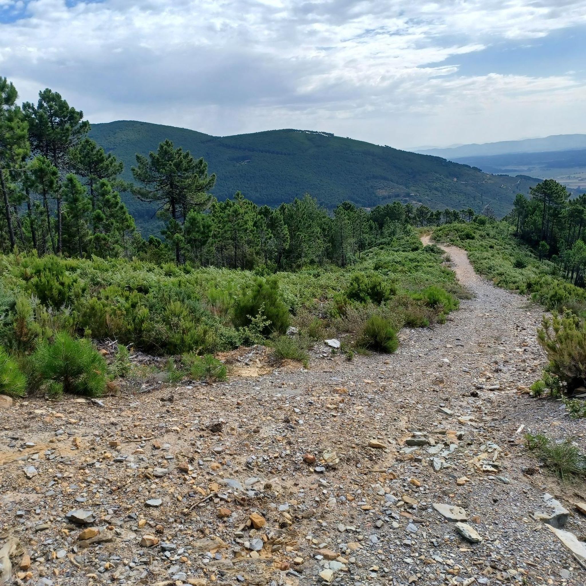
Hiking in Riserva Naturale Provinciale Monte Serra Di Sotto

Cycling in Riserva Naturale Provinciale Monte Serra Di Sotto

Road Cycling Routes in Riserva Naturale Provinciale Monte Serra Di Sotto
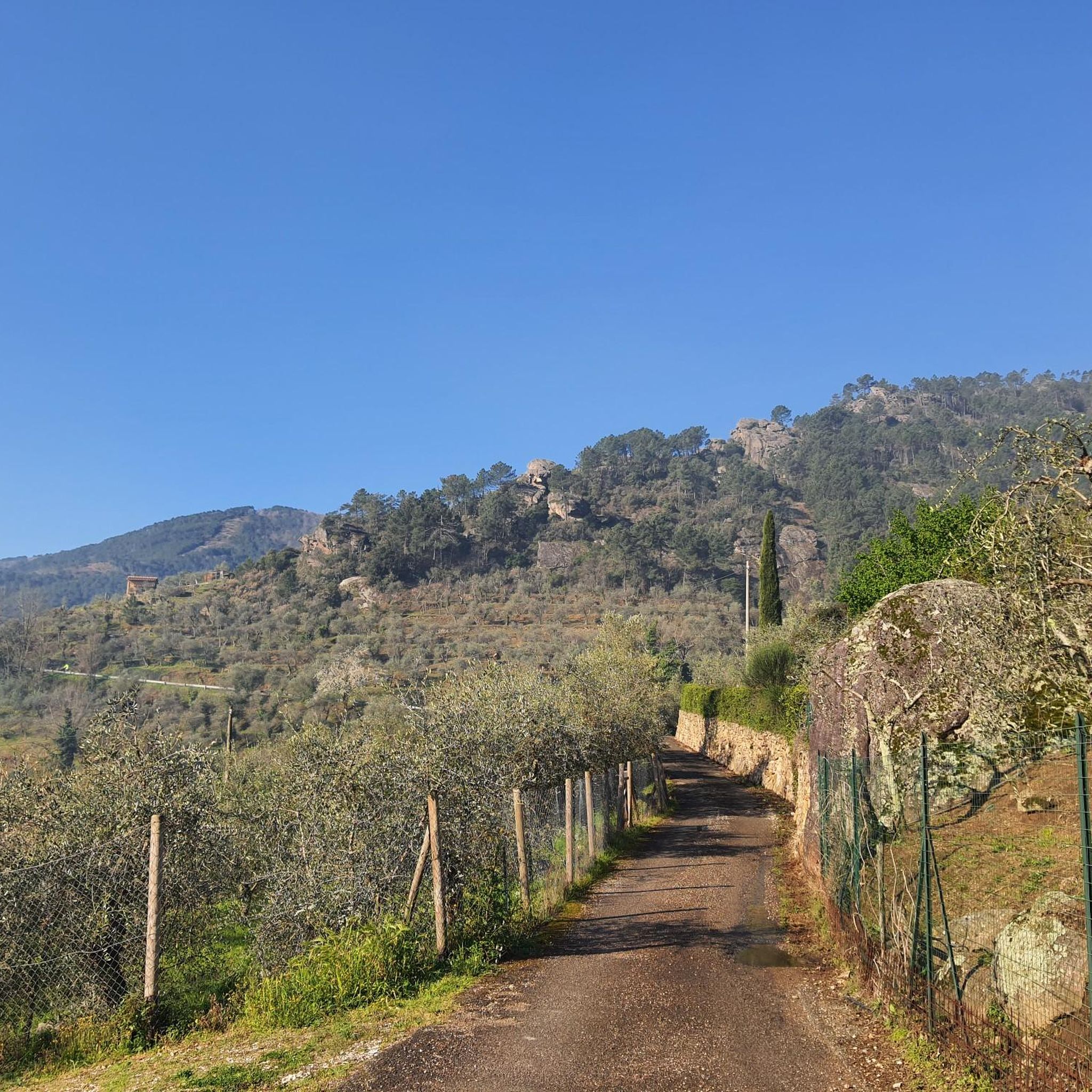
Running Trails in Riserva Naturale Provinciale Monte Serra Di Sotto
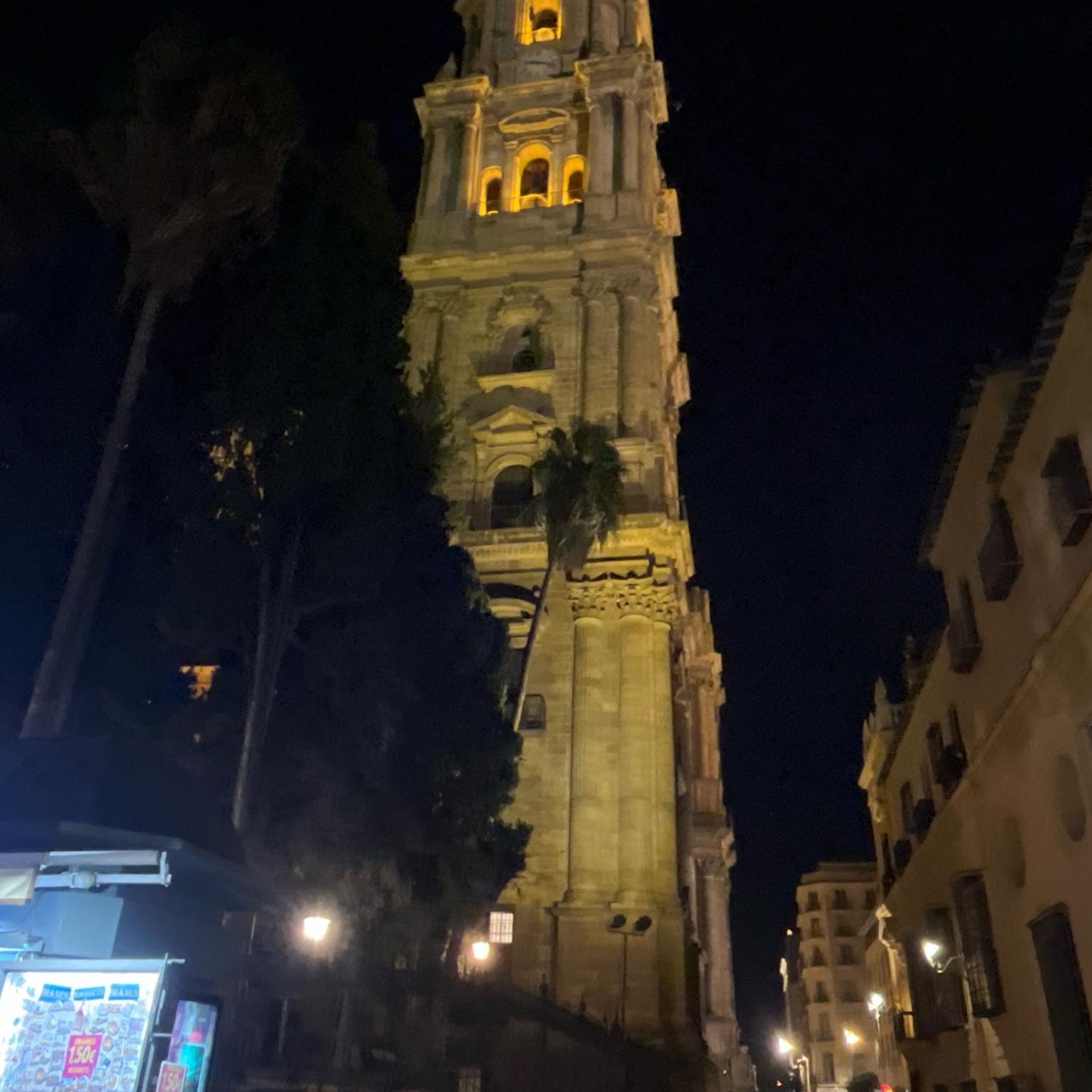
Gravel biking in Riserva Naturale Provinciale Monte Serra Di Sotto
Tips from the Community

Great place to recharge your batteries and enjoy the view!
0
0

nice panoramic point. there are also some benches
0
0

Coming down from the Rocca della Verrucca you continue on a dirt road slightly downhill on the Vicopisano side continuing towards the solar fields immersing yourself in the woods.
0
0

Excellent starting point for climbing towards Monte Serra.
1
0
From Agnano we continue on the asphalt road "Via delle Sorgenti" to the end of the route and arrive in Caprona at approximately 16:00.
1
0

Large bench with nice view
0
0
Large bench with beautiful view before Verruca fortress
1
0
Easy trail suitable for everyone towards Sasso della Dolorosa and Lombardona, passable in both directions even if the uphill Lombardy is not for everyone with gradients around 20%
0
0
Frequently Asked Questions
How many mountain bike trails are available in Riserva Naturale Provinciale Monte Serra Di Sotto?
There are over 250 mountain bike trails in Riserva Naturale Provinciale Monte Serra Di Sotto, catering to various skill levels. This includes 59 easy routes, 141 moderate routes, and 56 difficult routes.
What kind of terrain can I expect on the mountain bike trails in Monte Serra Di Sotto?
The terrain is diverse, featuring maritime pine forests, evergreen woods, and cultivated chestnut and olive groves. You'll find an extensive network of dirt roads and paths, with some challenging climbs towards Mount Serra and gentler segments suitable for different skill levels.
Are there any family-friendly mountain bike trails in Riserva Naturale Provinciale Monte Serra Di Sotto?
Yes, there are 59 easy mountain bike routes that are generally suitable for families. These paths offer a gentler experience while still allowing you to explore the natural beauty of the reserve.
What are some notable landmarks or viewpoints along the mountain bike routes?
You can encounter several interesting points. For instance, the Col di Cincia – Dolorosa Rock loop from Vicopisano passes by Dolorosa Rock. Other highlights include the Ascent to Monte Serra from Calci, offering splendid views, and the View of the Pisan Plain from Prato Ceragiola Pass.
Are there any circular mountain bike routes in the area?
Yes, many routes are designed as loops. For example, the Mountainbike loop from Buti is a popular moderate circular route. Another option is the Fonte della Rotta – Along the Rio dei Ceci loop from Buti, which takes you through diverse natural landscapes.
What is the best time of year to go mountain biking in Riserva Naturale Provinciale Monte Serra Di Sotto?
The reserve is suitable for mountain biking for much of the year. Spring and autumn generally offer the most pleasant temperatures for riding. While some segments can be steep, the extensive trail network means you can find suitable routes in most seasons, avoiding the peak heat of summer or potential winter chill.
What do other mountain bikers say about the trails in Riserva Naturale Provinciale Monte Serra Di Sotto?
The routes in Riserva Naturale Provinciale Monte Serra Di Sotto are highly rated by the komoot community, with an average score of 4.4 stars from over 1100 reviews. Mountain bikers often praise the varied terrain, the extensive network of paths connecting towns, and the opportunities to explore natural features and enjoy views of the Pisan plain.
Are there opportunities for wildlife spotting while mountain biking?
Yes, the reserve boasts a diverse array of wildlife. You might spot reptiles like the fire salamander or ringed snake, bird species such as the woodlark or kestrels, and mammals like dormice or porcupines, especially in quieter sections of the trails.
What is the typical elevation gain on mountain bike trails in this region?
Elevation gains vary significantly depending on the route. Some trails offer challenging climbs, such as a 12 km ascent with an 850-meter elevation gain towards the antennas of Mount Serra. Moderate routes like the Along the Rio dei Ceci loop from Buti have around 450 meters of elevation gain, while easier paths will have less.
Is public transport available to access the mountain bike trails?
The region's network of dirt roads and paths connects towns and villages, suggesting that some trailheads might be accessible via local public transport routes serving these communities. However, specific public transport details for trail access points would require checking local bus schedules for towns like Buti or Vicopisano.
Where can I find parking for mountain biking in Riserva Naturale Provinciale Monte Serra Di Sotto?
Given that the trails connect various towns and villages, parking is generally available in or near these communities, such as Buti or Vicopisano, which serve as common starting points for many routes. Specific parking areas might be indicated on individual route descriptions on Komoot.
Are dogs allowed on the mountain bike trails?
The Riserva Naturale Provinciale Monte Serra Di Sotto is a natural reserve, and while specific regulations for dogs on mountain bike trails are not detailed, it's generally advisable to keep dogs on a leash to protect local wildlife and ensure a pleasant experience for all trail users. Always check local signage for any specific restrictions.
Most popular routes in Riserva Naturale Provinciale Monte Serra Di Sotto
Most popular attractions in Riserva Naturale Provinciale Monte Serra Di Sotto

Get inspired with the komoot mobile app


Explore more
Browse the best MTB trails in other regions.
