The best running trails in Val D'Ozola, Monte Cusna
4.8
(15)
1,195
runners
65
runs
Jogging in Val D'Ozola, Monte Cusna offers a diverse range of running routes through a mountainous landscape. The region is characterized by significant elevation changes, with trails leading to prominent peaks and mountain passes. Runners can expect to navigate varied terrain, including paths that ascend to high-altitude refuges and offer expansive ridge views. The area provides a challenging environment for trail running, with many routes featuring substantial climbs.
Best jogging routes in Val D'Ozola, Monte Cusna
- The most popular jogging…
Last updated: October 8, 2026
12
runners
9.59km
02:13
910m
910m
Hard run. Very good fitness required. Sure-footedness, sturdy shoes and alpine experience required.
6
runners
10.9km
02:12
910m
910m
Hard run. Very good fitness required. Sure-footedness, sturdy shoes and alpine experience required.

6
runners
19.5km
03:50
1,470m
1,470m
Hard run. Very good fitness required. Sure-footedness, sturdy shoes and alpine experience required.
11
runners
14.4km
02:28
840m
840m
Hard run. Very good fitness required. Sure-footedness, sturdy shoes and alpine experience required.
5
runners
18.2km
02:40
960m
970m
Hard run. Very good fitness required. Sure-footedness, sturdy shoes and alpine experience required.
Get access to more routes and recommendations from other explorers.
Already have an account?
Our route recommendations are based on thousands of hikes, rides, and runs completed by other people on komoot.
Start today with a free account
Your next adventure awaits.
Popular around Val D'Ozola, Monte Cusna

Berceto to Abetone – Alta Via dei Parchi (part 1)
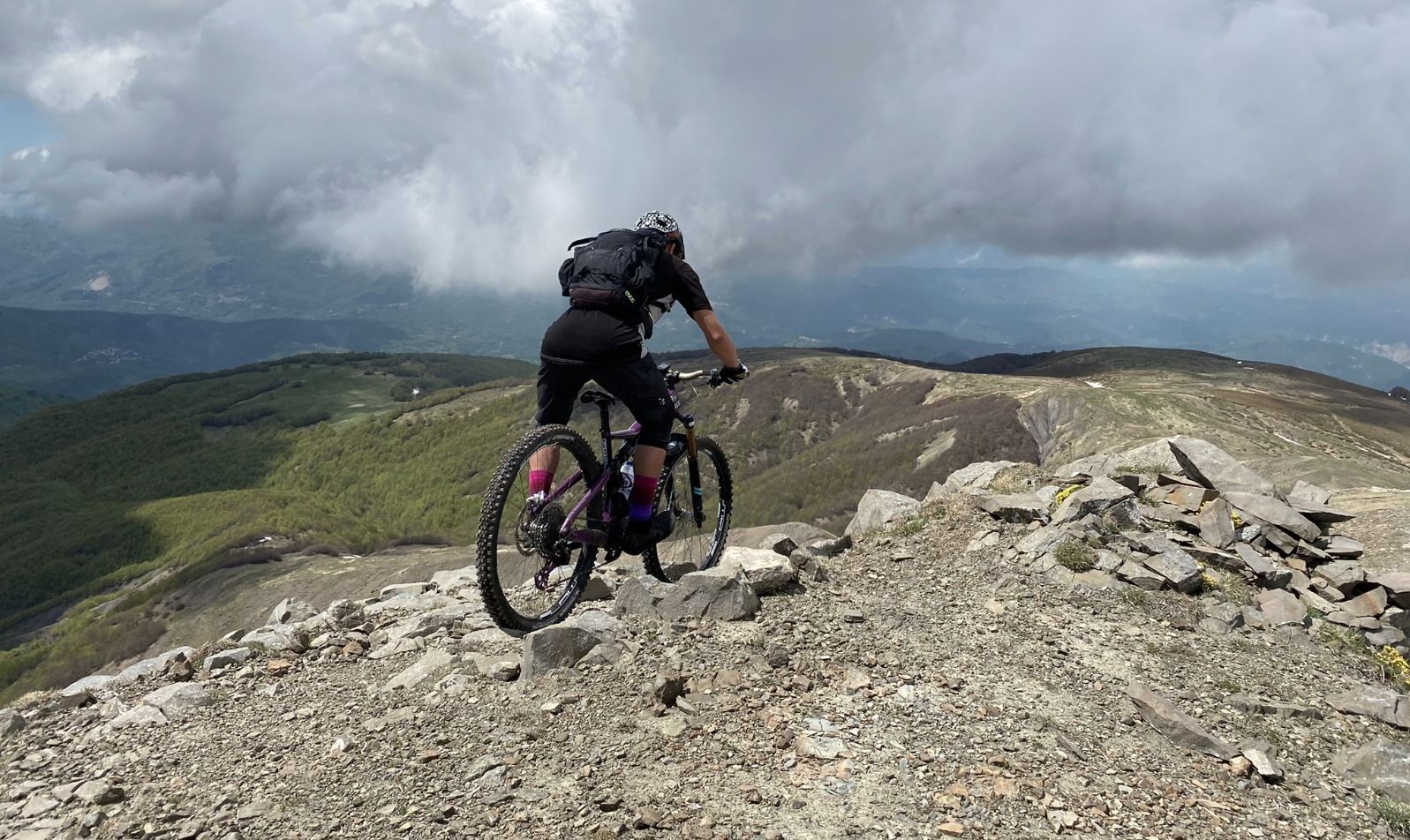
On the Giant's summits — Italy's Mount Cusna by mountain bike
Hiking in Val D'Ozola, Monte Cusna
Road Cycling Routes in Val D'Ozola, Monte Cusna
MTB Trails in Val D'Ozola, Monte Cusna
Cycling in Val D'Ozola, Monte Cusna

Gravel biking in Val D'Ozola, Monte Cusna
Mountain Hikes in Val D'Ozola, Monte Cusna


Tips from the Community

The Passo di Lama Lite is a very important hiking junction and mountain pass located at an altitude of 1,749 meters in the Alto Appennino Reggiano, right on the border with Tuscany. It is situated at the foot of Monte Prado and Monte Cusna, within the Tuscan-Emilian Apennine National Park.
0
0

The Passo di Lama Lite is a very important mountain pass located at an altitude of 1,749 meters in the Alto Appennino Reggiano, on the border between Emilia-Romagna and Tuscany. It is located in the heart of the Tuscan-Emilian Apennine National Park. This pass serves as a fundamental watershed between the valley of the Dolo stream and the valley of the Ozola stream, positioned at the foot of the Monte Prado massif and offering a splendid view of Monte Cusna.
0
0

A strategic crossroads of various mountain bike routes
1
0

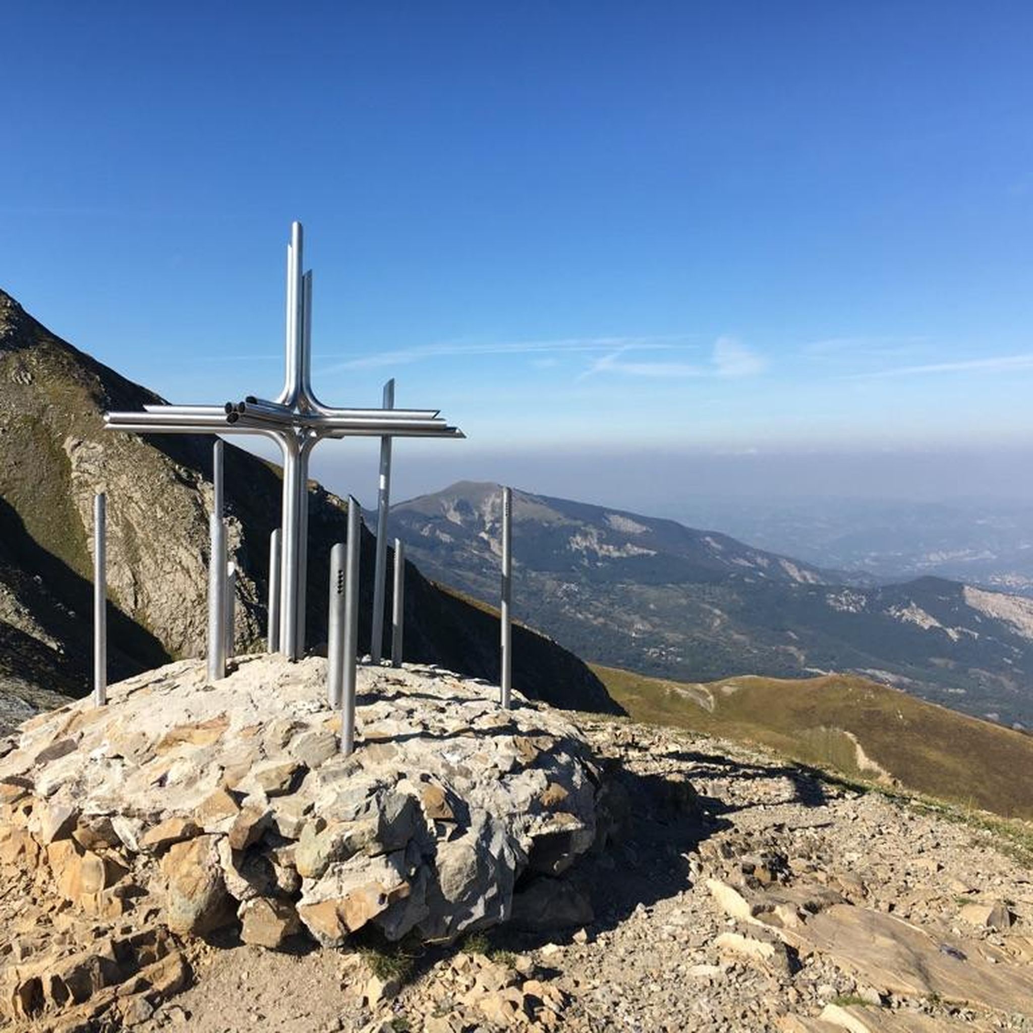
Beautiful panoramic viewpoint with the unique 'ringing' cross
1
0

It can be reached both on asphalt and on a path. Always pleasant.
2
0
The more you pass by, the more you fall in love. It is easily reached on foot from the forest road. On a mountain bike, you have to push your bike for a stretch. It is a little extra effort that I recommend.
0
0
Lama Lite is a well-known mountain pass. Just looking at it on the map is enough to understand its importance. I have passed through it dozens of times but I can never avoid stopping to take a picture.
2
0

crossroads of paths coming from the royal fir forest on the right you go to the refuge. Battisti and Monte Cusna, continuing you arrive at the Bargetana lake and climb to Monte Prado on the left you return to the Rif. Segheria
3
0
Frequently Asked Questions
How many running routes are available in Val D'Ozola, Monte Cusna?
There are over 60 running routes available in Val D'Ozola, Monte Cusna, offering a diverse range of options for trail runners. Most of these routes are classified as difficult due to the mountainous terrain and significant elevation changes.
Are there any easy or beginner-friendly jogging routes in Val D'Ozola, Monte Cusna?
Val D'Ozola, Monte Cusna is primarily known for its challenging mountainous terrain. While there are 11 routes classified as moderate, the majority of the 60+ routes are difficult, featuring substantial climbs and rugged paths. Beginners should be prepared for significant elevation changes even on moderate trails.
What kind of terrain can I expect on the running trails in Val D'Ozola, Monte Cusna?
Runners in Val D'Ozola, Monte Cusna can expect varied mountainous terrain, including paths that ascend to high-altitude refuges and offer expansive ridge views. The routes often feature significant elevation changes and can be rugged, providing a challenging environment for trail running.
Are there any circular running routes in Val D'Ozola, Monte Cusna?
Yes, many of the running routes in Val D'Ozola, Monte Cusna are circular. For example, the Peschiera Pian vallese – Il Passone loop from Febbio is a challenging 7.3-mile (11.8 km) circular route with over 760 meters of elevation gain.
What are some scenic viewpoints or attractions along the jogging routes?
Many routes offer panoramic views towards Cusna Peak and other high mountain peaks. You can also find attractions like the Cesare Battisti Hut and Il Passone mountain pass. The Pradarena Pass – Sella delle Porraie Ridge View loop from Ospitaletto offers particularly scenic ridge views.
What is the best time of year to go trail running in Val D'Ozola, Monte Cusna?
The best time for trail running in Val D'Ozola, Monte Cusna is typically from late spring to early autumn (May to October) when the weather is milder and trails are generally free of snow. During winter, many high-altitude routes may be inaccessible or require specialized equipment due to snow and ice.
Are there any mountain huts or refuges along the running trails?
Yes, several running routes pass by or lead to mountain huts. For instance, the View of Rifugio Battisti – Cusna Peak loop from Febbio passes a mountain refuge. Other notable huts in the area include the Cesare Battisti Hut, Rifugio Adamo, and Monte Orsaro Hut.
What do other runners say about the trails in Val D'Ozola, Monte Cusna?
The running routes in Val D'Ozola, Monte Cusna are highly rated by the komoot community, with an average score of 5.0 stars from over 6 reviews. Runners often praise the challenging ascents, the rewarding panoramic views, and the rugged mountain terrain that defines the area.
Are there any specific challenges or considerations for winter jogging in Val D'Ozola, Monte Cusna?
Winter jogging in Val D'Ozola, Monte Cusna can be very challenging. High-altitude trails are often covered in snow and ice, requiring appropriate winter gear, experience, and careful planning. It's advisable to check local conditions and forecasts before attempting any routes during the colder months.
How can I find detailed maps and navigation for these running routes?
Komoot provides detailed maps and navigation for all the running routes in Val D'Ozola, Monte Cusna. You can find information on distance, elevation, difficulty, and estimated completion times for each trail, which can be downloaded for offline use.
Are there any routes that offer a direct ascent to Cusna Peak?
Yes, the Cusna Peak loop from Febbio is a popular and difficult 5.9-mile (9.6 km) path that provides a direct ascent to Cusna Peak, featuring rugged mountain terrain and rewarding vistas from the summit.
Most popular routes in Val D'Ozola, Monte Cusna
Most popular attractions in Val D'Ozola, Monte Cusna

Get inspired with the komoot mobile app


Explore more
Browse the best Running Trails & Routes in other regions.
