The best road cycling routes in Monumento Naturale Altopiano Di Cariadeghe
4.4
(418)
10,766
riders
124
rides
Road cycling in Monumento Naturale Altopiano Di Cariadeghe features a distinctive karst landscape with numerous dolines, green areas, and diverse woodlands. The region offers mostly paved surfaces and undulating terrain, providing a range of road cycling routes. Elevations generally sit between 700-800 meters, with some routes offering views towards Lake Garda and the plains. The area caters to various fitness levels, from easy rides with minimal elevation gain to more moderate challenges.
Best road cycling routes in Monumento Naturale Altopiano…
Last updated: September 27, 2026
22
riders
17.9km
00:56
340m
340m
Moderate road ride. Good fitness required. Mostly well-paved surfaces and easy to ride.
23
riders
17.6km
00:46
160m
160m
Easy road ride. Great for any fitness level. Mostly well-paved surfaces and easy to ride.

22
riders
42.8km
01:52
370m
370m
Moderate road ride. Good fitness required. Mostly well-paved surfaces and easy to ride.
4.5
(34)
854
riders
55.2km
02:34
540m
540m
Moderate road ride. Good fitness required. Some segments of this route may be unpaved and difficult to ride.
128
riders
43.7km
01:52
320m
320m
Moderate road ride. Good fitness required. Mostly well-paved surfaces and easy to ride.
Get access to more routes and recommendations from other explorers.
Already have an account?
Our route recommendations are based on thousands of hikes, rides, and runs completed by other people on komoot.
Start today with a free account
Your next adventure awaits.
Popular around Monumento Naturale Altopiano Di Cariadeghe
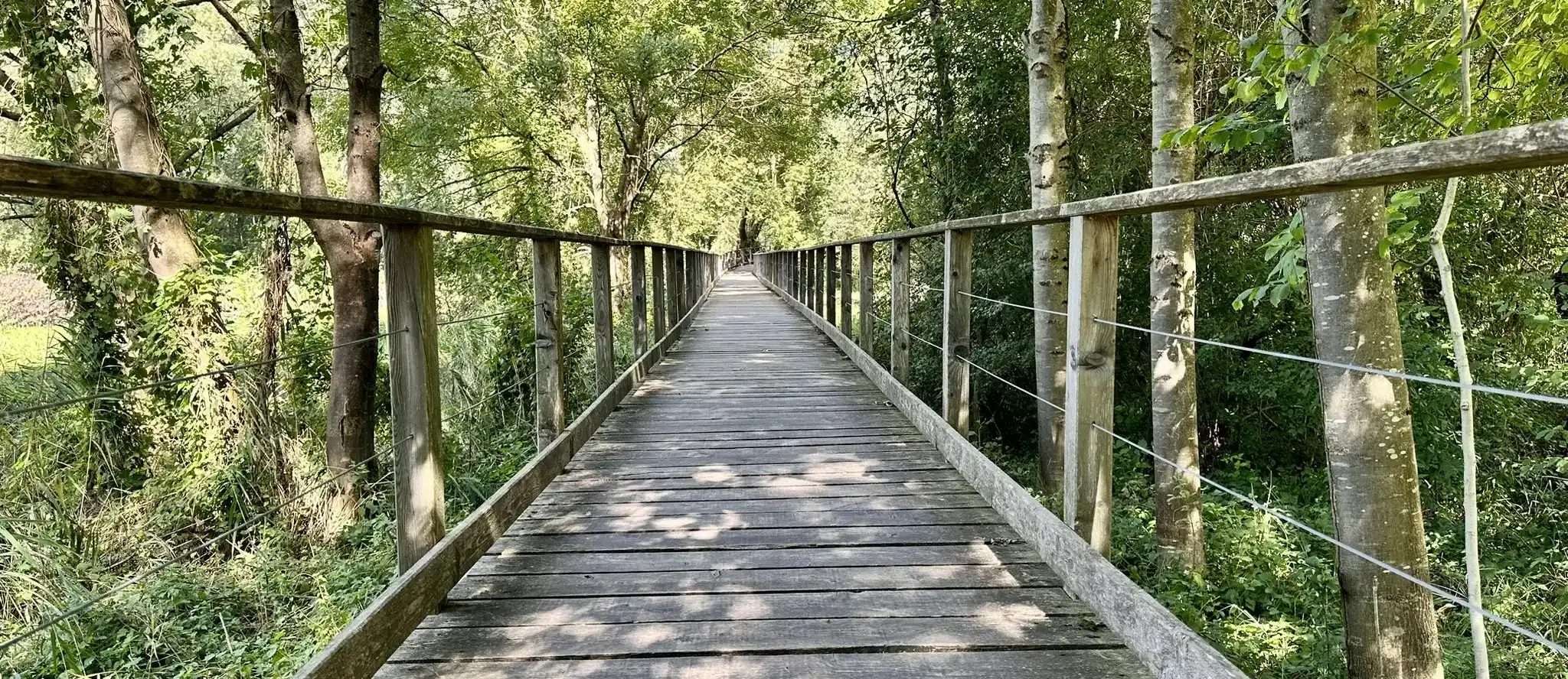
Anello Valsabbino - Trekking between the villages of Val Sabbia
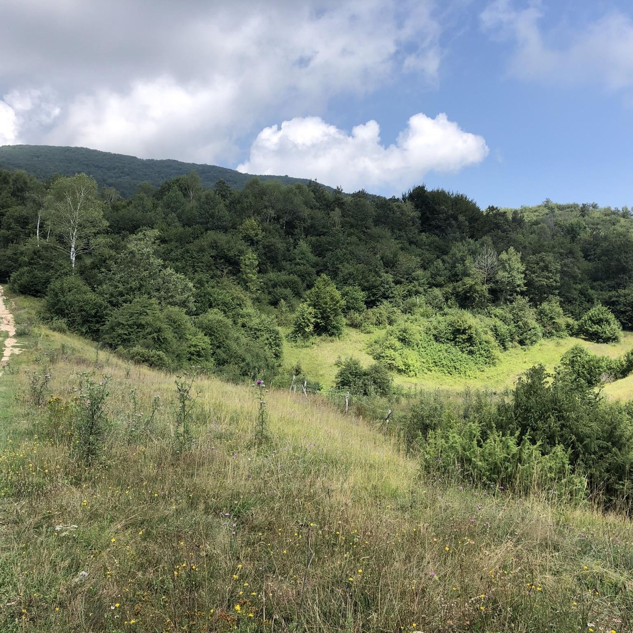
Hiking in Monumento Naturale Altopiano Di Cariadeghe
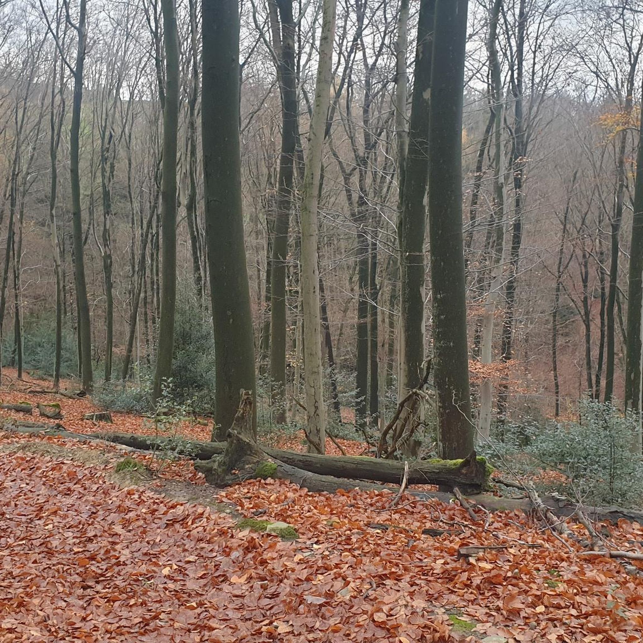
Gravel biking in Monumento Naturale Altopiano Di Cariadeghe
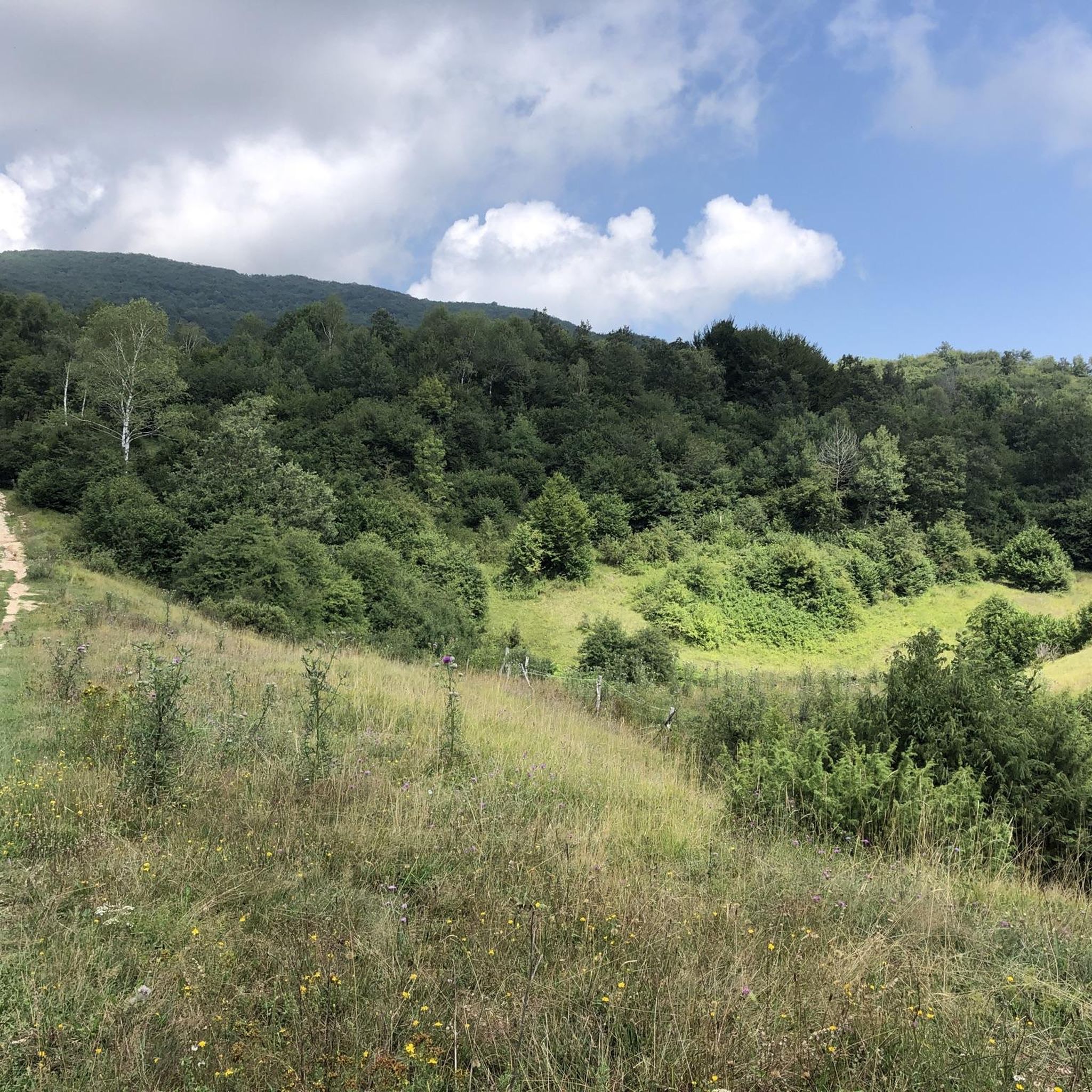
Cycling in Monumento Naturale Altopiano Di Cariadeghe
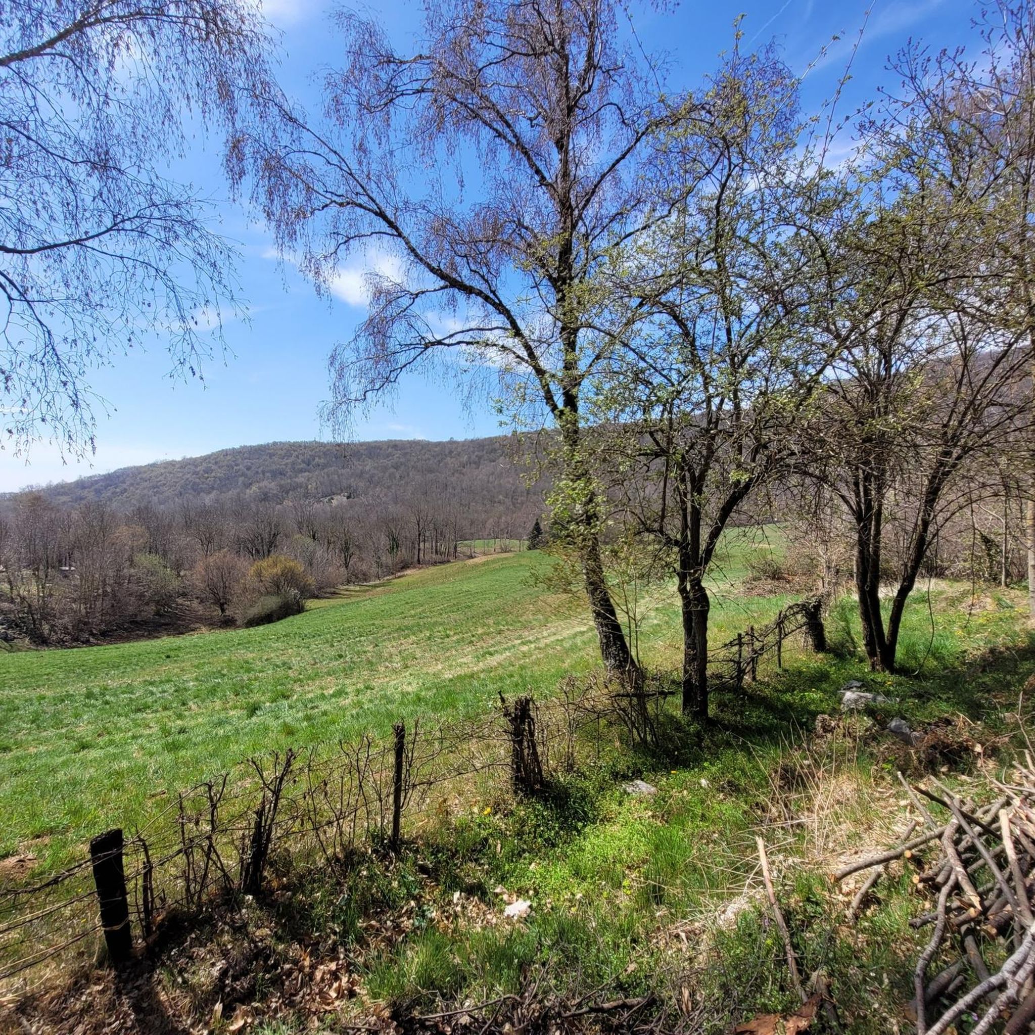
MTB Trails in Monumento Naturale Altopiano Di Cariadeghe
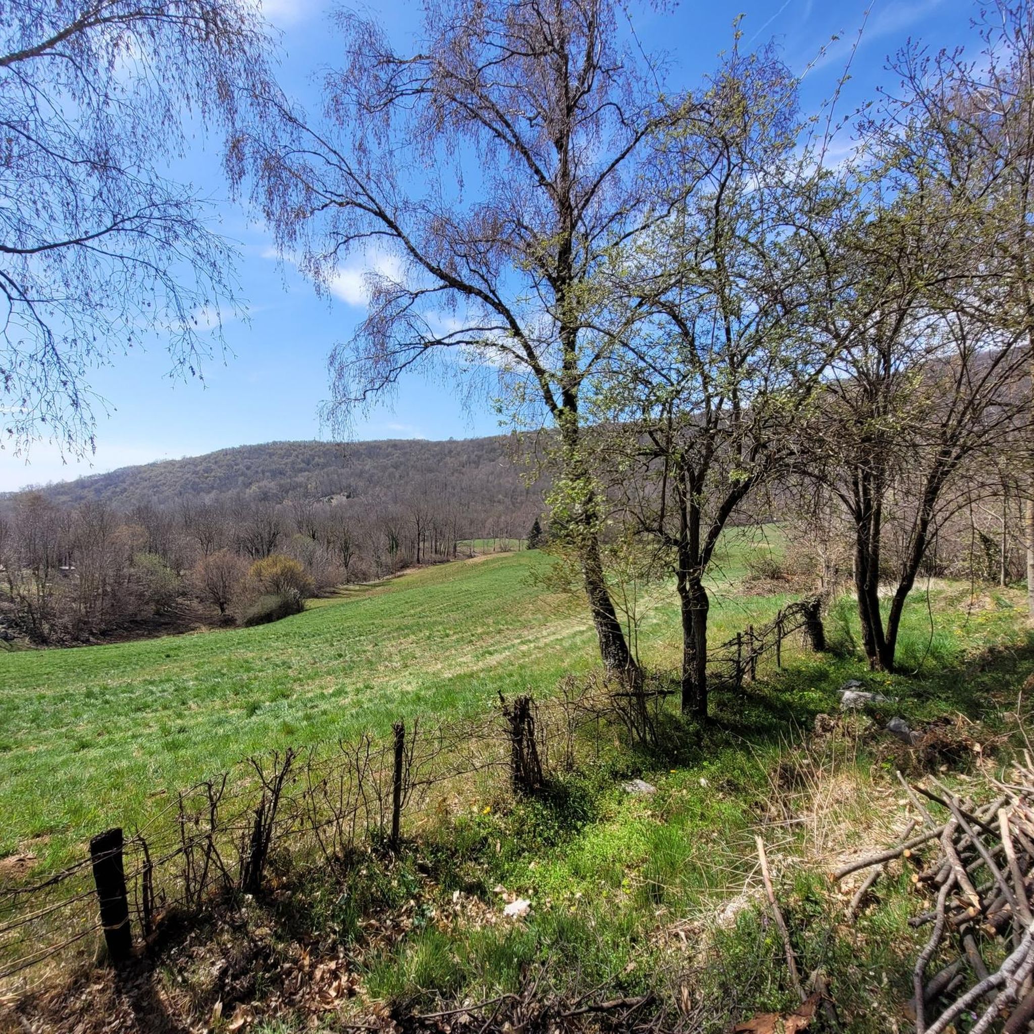
Running Trails in Monumento Naturale Altopiano Di Cariadeghe
Other adventures in Monumento Naturale Altopiano Di Cariadeghe

Tips from the Community

Piazzale Arnaldo is a historic and lively square located on the eastern edge of the historic center of Brescia, at the beginning of corso Magenta and via Tosio Martinengo. It is one of the city's main meeting points, famous both for its 19th-century architecture and as a center of nightlife.
0
0


particular square on one side stands a long portico, once the site of the market
1
0

Very beautiful old church
0
0

Church of San Martino
0
0

The Valley del Chiese cycle path extends for 20 km following the course of the Chiese river, a tributary of Lake Idro, the starting point of the itinerary. The route alternates asphalted roads and does not have any challenging changes in altitude, in fact it is suitable for everyone, even children. The best time to undertake it is from March to September. Starting from the mouth of the Chiese river, you pass through the villages of the valley until you reach Pieve di Bono. Along the way you can come across some historical finds, such as the lime kilns, ancient ovens.
1
0

Climb to the Coste di Sant'Eusebio from the Nave side.
0
0
Sunset over the vineyards
0
0
Frequently Asked Questions
How many road cycling routes are available in Monumento Naturale Altopiano Di Cariadeghe?
There are over 120 road cycling routes in Monumento Naturale Altopiano Di Cariadeghe, offering a wide range of options for different skill levels. This includes approximately 40 easy routes, 67 moderate routes, and 19 challenging routes.
What kind of terrain can I expect when road cycling in Monumento Naturale Altopiano Di Cariadeghe?
The terrain in Monumento Naturale Altopiano Di Cariadeghe is characterized by its unique karst landscape, featuring undulating surfaces and mostly paved roads. You'll cycle through extensive green areas and diverse woodlands, with elevations generally ranging between 700-800 meters above sea level.
Are there road cycling routes suitable for beginners or families?
Yes, the region offers several easy road cycling routes with minimal elevation gain, perfect for beginners or families. For example, the Sculpture in Val Tenesi – San Giuseppe da Nave loop from Caino is an easy 10.8-mile (17.4 km) route that takes about 45 minutes to complete, leading through pleasant woodlands.
What interesting sights or landmarks can I see along the road cycling routes?
Road cycling routes in the area often pass by significant natural and historical points of interest. You can explore the 'enchanted valley' of Prato della Carlina, visit the historic Monastery of San Bartolomeo in Serle, or enjoy the natural beauty of the Altopiano di Cariadeghe itself. Some routes also offer views towards Lake Garda.
Are there any scenic viewpoints accessible by road bike?
Yes, from higher points within the Monumento Naturale Altopiano Di Cariadeghe, such as Monte Dragoncello (1,097 m) and Monte Bonaga (980 m), cyclists can enjoy beautiful panoramic views stretching towards Lake Garda to the east and the plains to the south. While these specific peaks might require a short walk, the roads leading up to the plateau offer excellent vistas.
What is the best time of year for road cycling in Monumento Naturale Altopiano Di Cariadeghe?
The area is particularly beautiful during autumn when the diverse woodlands, featuring hazel, birch, hornbeam, ash, downy oak, and juniper trees, display vibrant colors. Spring and early summer also offer pleasant conditions with lush greenery. Always check the local weather forecast before heading out.
Are there places to eat or rest along the road cycling routes?
Yes, the Alpini Mountain Hut, Serle, located on the Cariadeghe plateau, provides a convenient stop for visitors and is known for good food. There are also various cafes, pubs, and restaurants in the nearby municipality of Serle.
Is parking available for road cyclists in Monumento Naturale Altopiano Di Cariadeghe?
Yes, parking is generally available in and around the municipality of Serle, which serves as a common starting point for exploring the Altopiano di Cariadeghe. Specific parking areas can be found near trailheads or points of interest.
Can I reach Monumento Naturale Altopiano Di Cariadeghe by public transport for cycling?
While direct public transport options specifically for cyclists to the heart of the plateau might be limited, you can typically reach the municipality of Serle by bus. From Serle, the Altopiano di Cariadeghe is easily accessible by bike.
Are there circular road cycling routes available in the region?
Yes, the Monumento Naturale Altopiano Di Cariadeghe offers several circular road cycling routes. A notable option is a circular tour of the plateau itself, which allows you to experience the diverse landscapes and natural features without retracing your path. For example, the Piazzale Arnaldo, Brescia – Colle Sant'Eusebio loop from Nuvolento is a moderate 34.2-mile (55.1 km) loop.
What do other cyclists say about road cycling in Monumento Naturale Altopiano Di Cariadeghe?
The road cycling routes in Monumento Naturale Altopiano Di Cariadeghe are highly rated by the komoot community, with an average score of 4.2 stars from over 300 reviews. Cyclists often praise the varied scenery, the mostly paved surfaces, and the unique karst landscape that makes for an engaging ride.
Are there any challenging road cycling routes for experienced cyclists?
Yes, for more experienced cyclists seeking a challenge, there are routes with greater elevation gain and longer distances. Approximately 19 routes are classified as difficult. An example is the Forcella della Stella Climb – San Giuseppe da Nave loop from Caino, a moderate 26.5-mile (42.7 km) path featuring ascents through green areas and woodlands.
Most popular routes in Monumento Naturale Altopiano Di Cariadeghe
Most popular attractions in Monumento Naturale Altopiano Di Cariadeghe

Get inspired with the komoot mobile app


Explore more
Browse the best Road cycling routes in other regions.
