The best running trails in Les Arnaud E Punta Quattro Sorelle
4.2
(18)
1,339
runners
82
runs
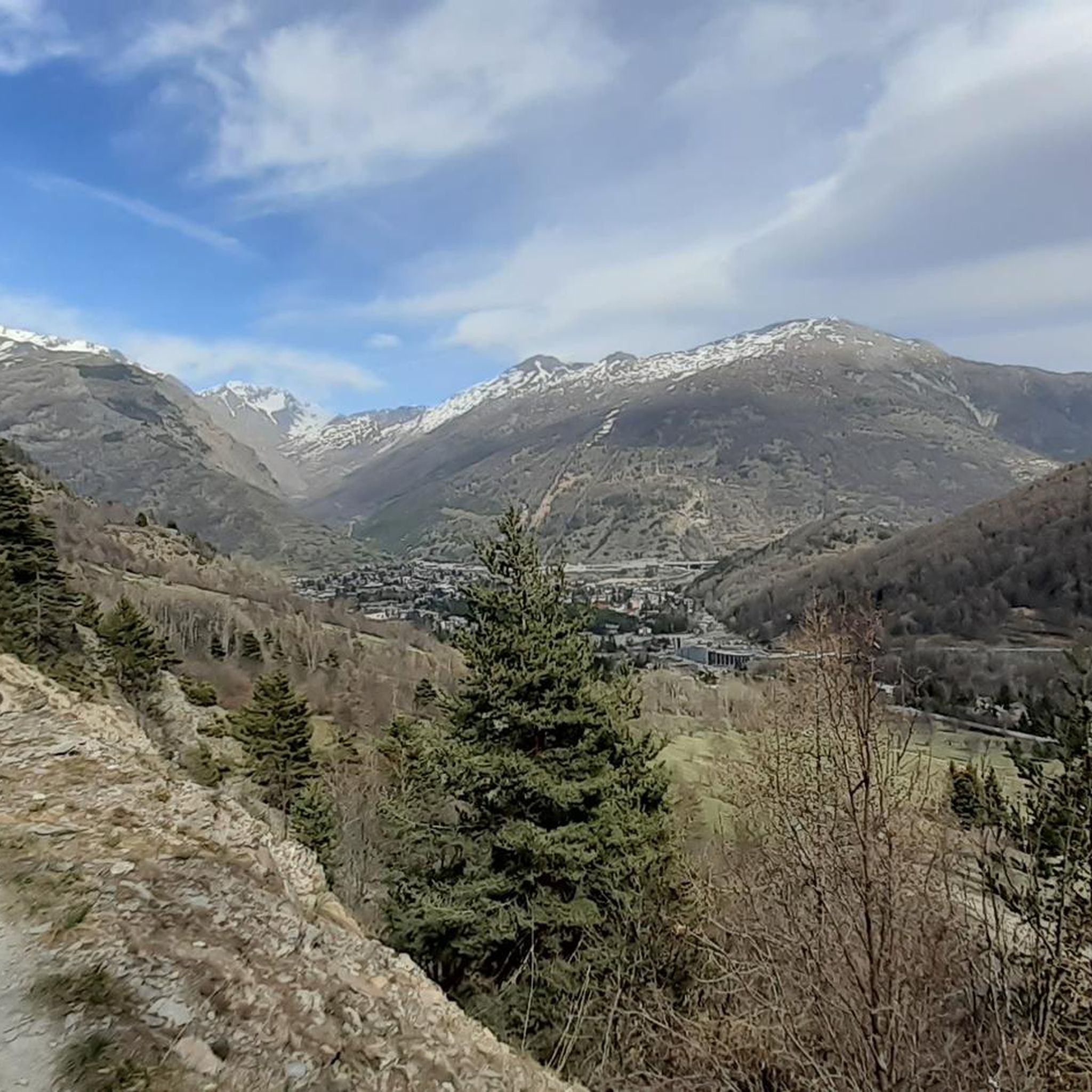
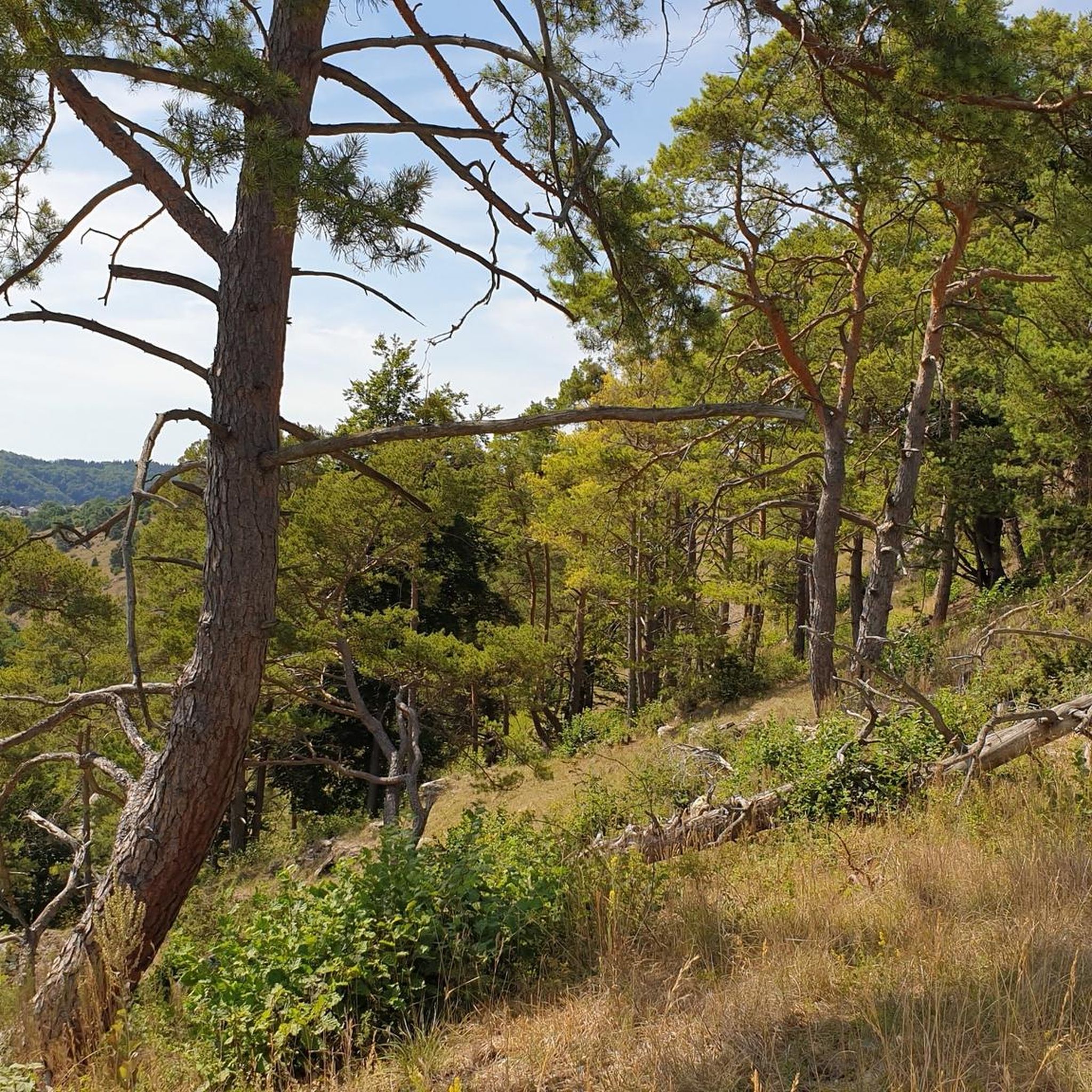
Jogging in Les Arnaud E Punta Quattro Sorelle offers a diverse landscape for runners, characterized by alpine valleys and mountain trails. The region features varied terrain, from the narrow valleys to higher elevations, providing a range of running experiences. Trails often lead through forested areas and open mountain slopes, with some routes passing by mountain refuges. This environment provides a natural setting for both challenging and more relaxed running.
Best jogging routes in Les Arnaud E Punta Quattro Sorelle
- The…
Last updated: July 15, 2026
5.0
(6)
68
runners
8.33km
00:59
140m
140m
Moderate run. Good fitness required. Mostly paved surfaces. Suitable for all skill levels.
45
runners
Hard run. Very good fitness required. Sure-footedness, sturdy shoes and alpine experience required.

Sign up for free
37
runners
14.0km
01:50
470m
470m
Hard run. Very good fitness required. Sure-footedness, sturdy shoes and alpine experience required.
15
runners
9.08km
01:05
200m
200m
Hard run. Good fitness required. Sure-footedness, sturdy shoes and alpine experience required.
11
runners
10.1km
01:15
200m
200m
Moderate run. Good fitness required. Mostly paved surfaces. Suitable for all skill levels.
Get access to more routes and recommendations from other explorers.
Sign up for free
Already have an account?
Our route recommendations are based on thousands of hikes, rides, and runs completed by other people on komoot.
Start today with a free account
Your next adventure awaits.
Login or Signup
Popular around Les Arnaud E Punta Quattro Sorelle

Tips from the Community

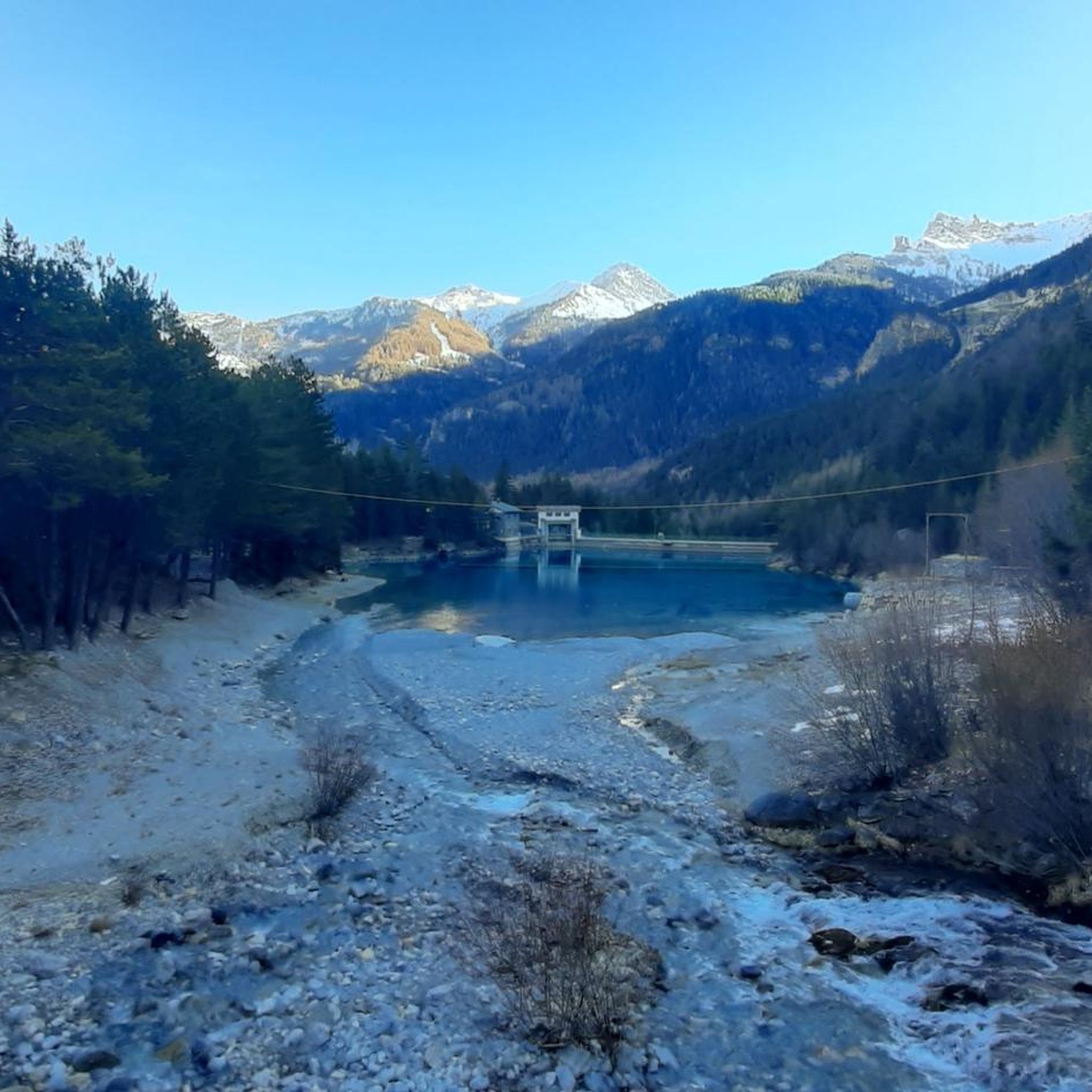
I went on April 12, 26, starting from Nevache (camping parking) and taking the Lucianina trail. Shortly after the second bridge, a recent avalanche had brought down numerous trees. Due to non-bearing snowdrifts and debris, I recommend crossing to the left bank (carriageway) using one of the two wooden bridges encountered after the dam.
0
0

The fortification was erected between 1885 and 1894, with the aim of monitoring the outlet of the Frejus railway tunnel in anticipation of a possible French attack. During the First World War, its artillery was requisitioned and moved to the Austro-Hungarian front, while on the eve of the Second World War, it was incorporated into the fortified system of the Alpine Wall. It was then requisitioned by the Germans and completely dismantled after the end of hostilities. It remained abandoned for a long time, until, starting in 1995, a recovery project was initiated, still partly ongoing, equipping the structure with a museum and a guided tour. The road that reaches it from the valley floor is yet another demonstration of the construction skills of military engineering: the dirt road gains altitude with gentle hairpin bends, bordered by dry stone walls that are still perfectly in place. Near Grange Bersac, it passes a charming little church, shortly after the route leaves the woods and ends in wide meadows near another beautiful little church, dedicated to St. Anne. From here, the dirt road splits: straight ahead leads to Pian del Sole and the Bardonecchia MTB circuit, while climbing towards Colomion, turning right, a final short climb reaches the fort. The view of Guglia Rossa and the Re Magi (Three Wise Men) group, which dominate the Bardonecchia basin, is magnificent.
0
0


Run by Riccardo and Anna, the refuge is located in the Vallée Étroite, on a listed and protected site. The refuge can accommodate up to 34 visitors for the night and offers delicious traditional Italian cuisine.
0
0
The refuge of the Three Mages is located in the protected area of Valle Stretta, a splendid valley of Briançonnais. The refuge offers beds in rooms and dormitories. You can also eat and taste typical Piedmontese cuisine. All information and reservations can be found on the refuge website: https://rifugio.iremagi.it/index.php/italia/
0
0
The Grange of Valle Stretta are worth a visit, a mountain environment that recalls the Dolomite valleys
0
0


starting point for many itineraries
0
0
Frequently Asked Questions
How many running routes are available in Les Arnaud E Punta Quattro Sorelle?
The region offers a wide selection of over 70 running routes. These range from easier paths to more challenging mountain trails, catering to various fitness levels.
Are there any easy running routes suitable for beginners?
Yes, there are 5 easy running routes in Les Arnaud E Punta Quattro Sorelle. These paths are generally less demanding, making them ideal for those new to trail running or looking for a more relaxed jog through the alpine valleys.
What kind of routes are available for experienced runners?
For experienced runners seeking a challenge, Les Arnaud E Punta Quattro Sorelle features 51 difficult routes. These often involve significant elevation changes and varied mountain terrain, such as the Sentiero Paradiso Trailhead loop from Valle Stretta, which covers 6.6 miles (10.7 km) with notable ascents.
Are there circular running routes in the area?
Many of the running routes in Les Arnaud E Punta Quattro Sorelle are circular, allowing you to start and finish at the same point. An example is the Granges of the Narrow Valley – Lucianina Trail Descent loop from Valle Stretta, a 6.8-mile (10.9 km) loop.
What are the typical durations for running routes here?
Running durations vary significantly based on the route's length and difficulty. For instance, the Rifugio Re Magi – Lucianina Trail Descent loop from Valle Stretta is a longer 8.7-mile (14.0 km) trail that typically takes around 1 hour 50 minutes, while shorter routes can be completed in under an hour.
Are there any viewpoints or scenic spots along the running trails?
Yes, the mountainous landscape of Les Arnaud E Punta Quattro Sorelle offers numerous scenic spots. You can find stunning views from places like Three Crosses Hill. Many trails also lead through open mountain slopes with panoramic vistas.
Can I bring my dog on the running trails?
Generally, dogs are welcome on many trails in this alpine region, but it's always advisable to check local regulations or specific trail signs. Keep your dog on a leash, especially in areas with livestock or wildlife, and ensure you carry water for both of you.
What is the best time of year to go running in Les Arnaud E Punta Quattro Sorelle?
The best time for running in Les Arnaud E Punta Quattro Sorelle is typically from late spring to early autumn (May to October). During these months, the weather is generally milder, and trails are more accessible, with less snow at higher elevations. Always check local weather forecasts before heading out.
Are there any less crowded running options?
While popular routes can see more foot traffic, exploring some of the moderate or difficult trails, especially during off-peak hours or weekdays, can lead you to quieter sections. The region's extensive network of 75 routes means there are always options to find a more solitary experience.
What do other runners enjoy most about jogging in Les Arnaud E Punta Quattro Sorelle?
The running routes in Les Arnaud E Punta Quattro Sorelle are highly rated by the komoot community, with an average score of 4.6 stars. Runners often praise the diverse alpine scenery, the variety of challenging mountain trails, and the immersive experience through forested areas and open slopes.
Are there any historical sites or landmarks to see while running?
Yes, some routes pass by interesting historical points. For example, you might encounter sites like the Pian dei Morti Barracks, offering a glimpse into the region's past amidst your run.
Is public transport available to reach the running trails?
Access to trailheads by public transport can be limited in mountainous regions like Les Arnaud E Punta Quattro Sorelle. While some main villages might have bus services, reaching specific trail starting points often requires a car. It's recommended to check local bus schedules for the Valle Stretta area if you plan to rely on public transport.
Are there places to stop for refreshments or cafes near the trails?
Yes, some routes, particularly those in or near Valle Stretta, may pass by mountain refuges or small cafes where you can stop for refreshments. The Rifugio Re Magi – Lucianina Trail Descent loop from Valle Stretta, for instance, leads past a mountain refuge, offering a convenient stop.
Most popular routes in Les Arnaud E Punta Quattro Sorelle
Most popular attractions in Les Arnaud E Punta Quattro Sorelle

Get inspired with the komoot mobile app


Explore more
Browse the best Running Trails & Routes in other regions.
