Réserve Biologique Intégrale De Merdassiers Nant Pareux
Réserve Biologique Intégrale De Merdassiers Nant Pareux
The best running trails in Réserve Biologique Intégrale De Merdassiers Nant Pareux
4.6
(84)
5,781
runners
139
runs
Jogging in Réserve Biologique Intégrale De Merdassiers Nant Pareux offers routes through the eastern Aravis mountain range in Savoie, France. The terrain features varied elevations at the foot of peaks such as Treu and Tête de l'Aulp, and extends into the upper Flon valley. As an integral biological reserve, the area provides a wild forest environment with abundant old trees, ensuring a natural setting for running. This region is characterized by its mountainous landscape and preserved ecosystems.
Best jogging routes…
Last updated: October 1, 2026
3
runners
3.56km
00:43
260m
270m
Hard run. Good fitness required. Sure-footedness, sturdy shoes and alpine experience required.
25
runners
21.4km
02:41
860m
860m
Hard run. Very good fitness required. Sure-footedness, sturdy shoes and alpine experience required.

5.0
(1)
68
runners
9.82km
01:46
820m
820m
Hard run. Very good fitness required. Sure-footedness, sturdy shoes and alpine experience required.
4.0
(1)
21
runners
5.30km
00:37
180m
170m
Moderate run. Good fitness required. Mostly paved surfaces. Suitable for all skill levels.
8
runners
8.28km
01:31
540m
540m
Hard run. Very good fitness required. Sure-footedness, sturdy shoes and alpine experience required.
Get access to more routes and recommendations from other explorers.
Already have an account?
Our route recommendations are based on thousands of hikes, rides, and runs completed by other people on komoot.
Start today with a free account
Your next adventure awaits.
Popular around Réserve Biologique Intégrale De Merdassiers Nant Pareux
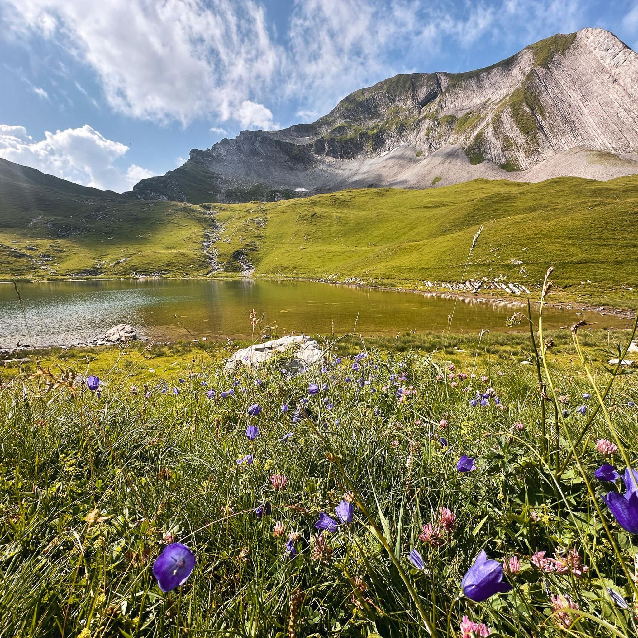
Road Cycling Routes in Réserve Biologique Intégrale De Merdassiers Nant Pareux
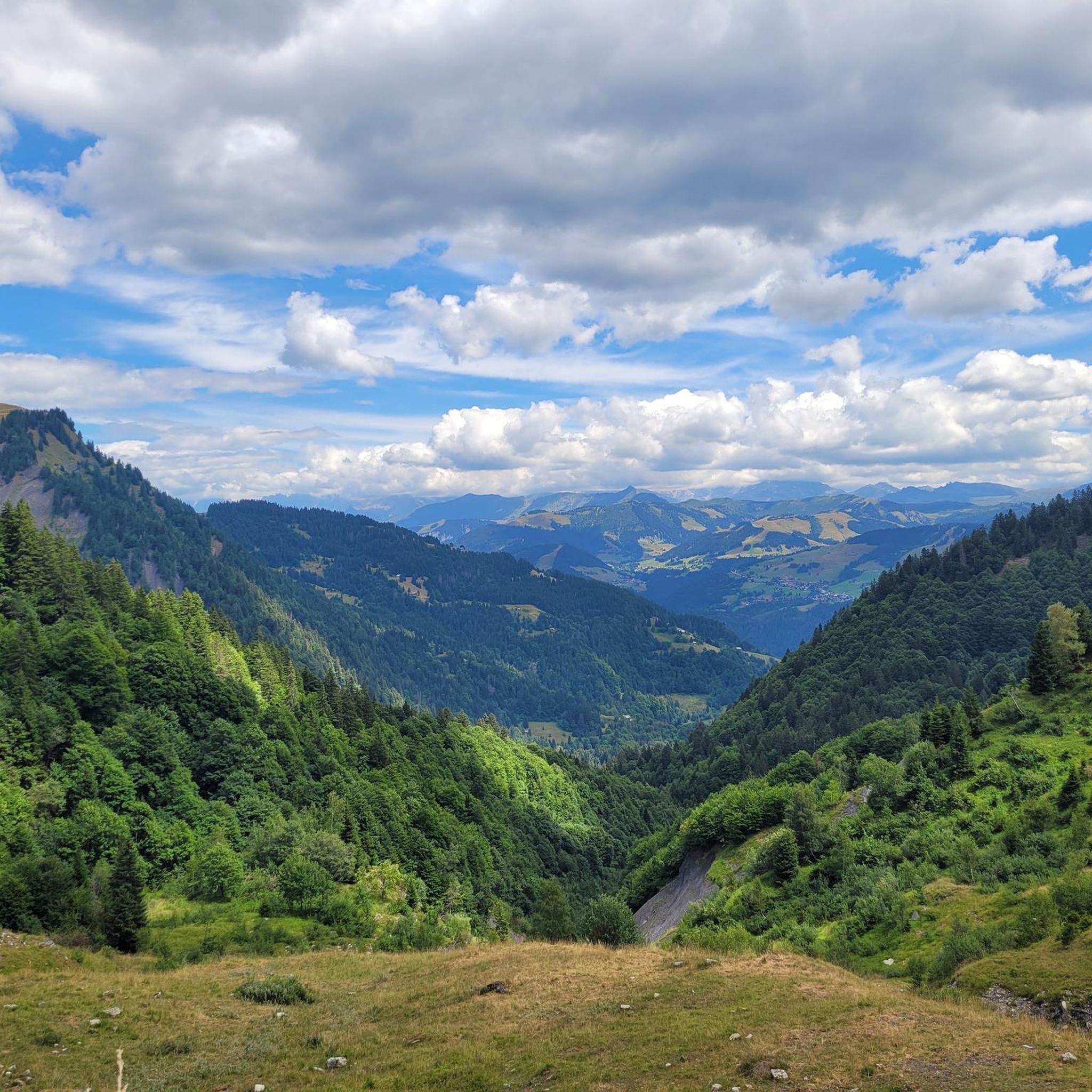
Hiking in Réserve Biologique Intégrale De Merdassiers Nant Pareux
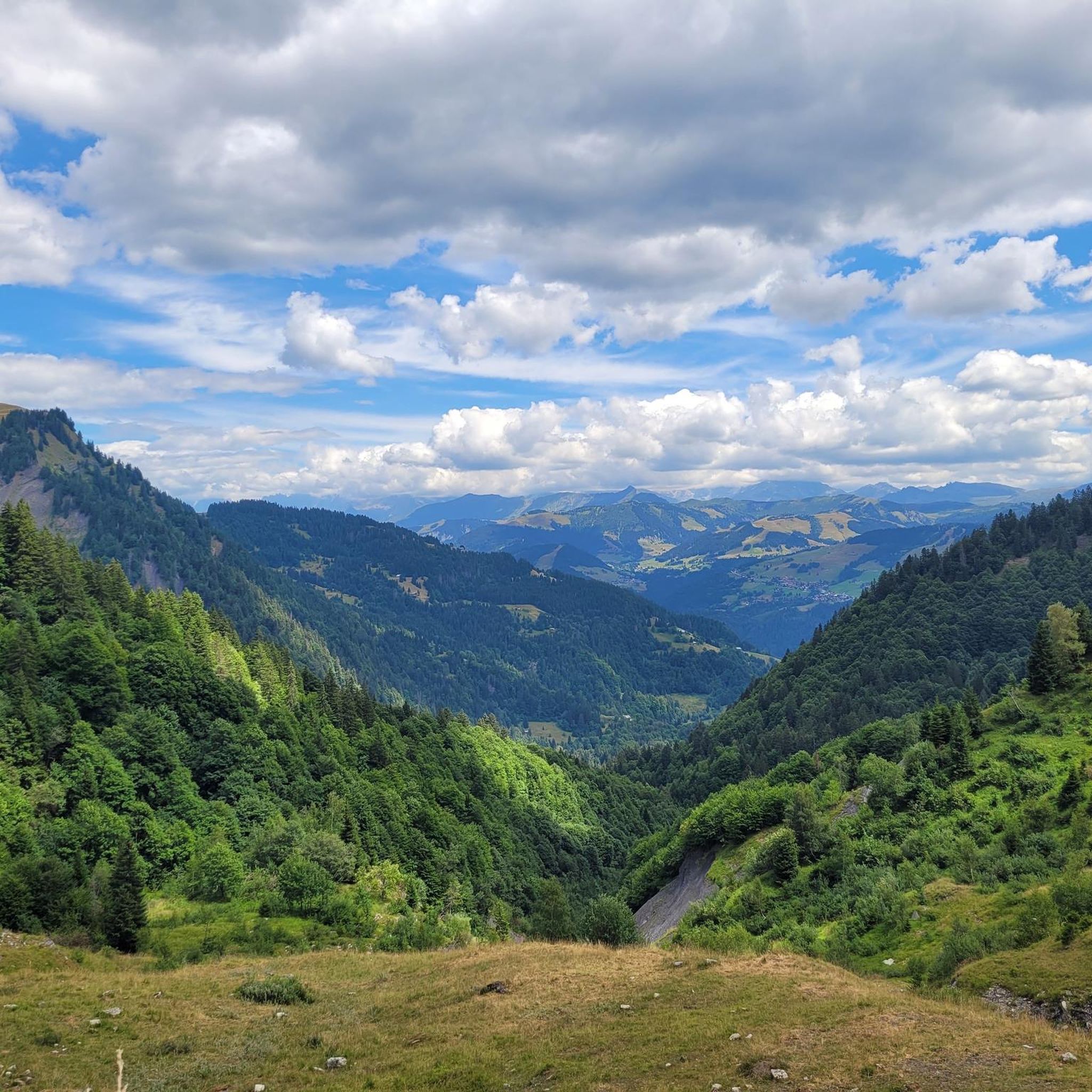
MTB Trails in Réserve Biologique Intégrale De Merdassiers Nant Pareux
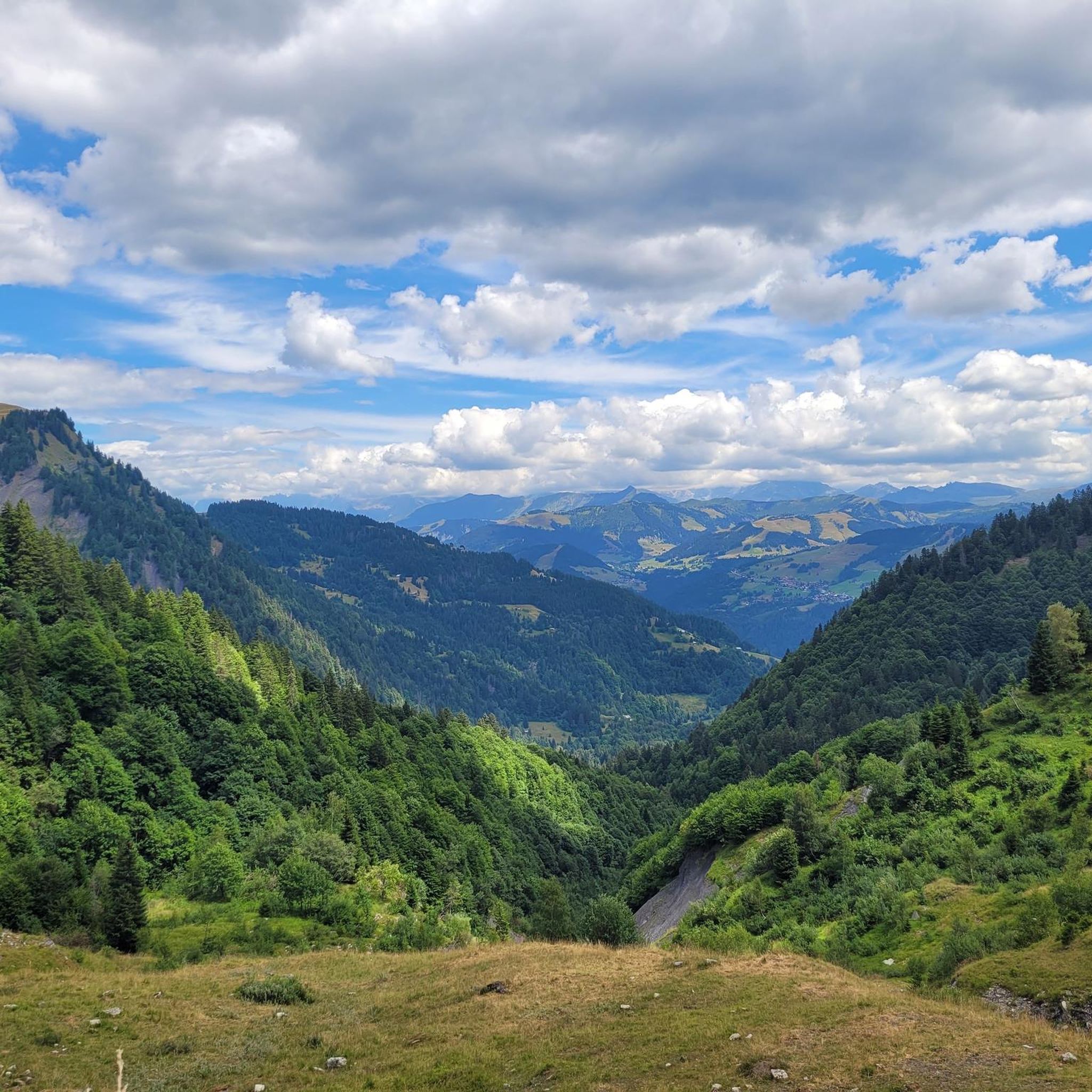
Cycling in Réserve Biologique Intégrale De Merdassiers Nant Pareux
Mountain Hikes in Réserve Biologique Intégrale De Merdassiers Nant Pareux

Gravel biking in Réserve Biologique Intégrale De Merdassiers Nant Pareux
Tips from the Community

It's beautiful but it's quite demanding on the gravel descent, there are still a lot of stones, it shakes a lot
0
0

From the Route de la Soif, the view of the Mont Blanc range is breathtaking. This panoramic road, located in Haute-Savoie, offers a grandiose spectacle of the snow-capped peaks of the highest massif in the Alps. The contrast between the green alpine meadows and the white peaks creates a breathtaking landscape. On a clear day, Mont Blanc is revealed in all its splendor, dominating the horizon.
4
0

Below the Dent du Châtelet, this beautiful ridge passage in the heart of the Aravis offers a sublime view of the Mont-Blanc massif.
1
1
This pretty cross offers superb views of the Arrondine valley and the Aravis.
0
0

A magnificent section of gravel riding that is often missed as most riders pass by it on their way along the Route de la Soif. Whether ridden as a descent to Flumet or as a climb, its pinnacle is the sweeping, mountainside switchbacks.
2
0

A large grassy mountain, perched in the hills above the town of Ugine, and located near the Col de l'Arpettaz. From the summit, you will enjoy superb views of the Aravis, the Mont-Blanc massif and the Beaufortain.
1
0

Sublime place for a stopover or better, to sleep ⛺️
1
0

Frequently Asked Questions
How many running routes are available in Réserve Biologique Intégrale De Merdassiers Nant Pareux?
There are over 140 running routes in the Réserve Biologique Intégrale De Merdassiers Nant Pareux, offering a wide range of options for all skill levels.
What kind of terrain can I expect on the jogging trails in this reserve?
The reserve features diverse terrain, from challenging mountain paths at the foot of peaks like Treu and Tête de l'Aulp to picturesque routes through the upper Flon valley. As an integral biological reserve, you'll experience a wild, untouched forest environment with abundant old trees.
Are there running routes suitable for beginners or those looking for an easier jog?
Yes, while many routes are challenging, there are options for less strenuous jogs. For example, the Running loop from Crest-Voland is a moderate 3.3-mile (5.3 km) path with a manageable elevation gain of 175 meters.
What do other runners say about the trails in Réserve Biologique Intégrale De Merdassiers Nant Pareux?
The running routes in Réserve Biologique Intégrale De Merdassiers Nant Pareux are highly rated by the komoot community, with an average score of 4.7 stars from over 60 reviews. Runners often praise the varied terrain and the immersive experience of the wild forest environment.
Are there any long-distance running options for experienced athletes?
Absolutely. For those seeking a significant challenge, the La Croix des Frêtes loop from Les Rosets is a difficult 13.3-mile (21.4 km) trail that leads through mountainous terrain, typically completed in about 2 hours 45 minutes.
Can I find circular running routes in the reserve?
Yes, many of the routes are designed as loops. An example is the Praz Véchin loop from Retorney, a difficult 2.2-mile (3.6 km) trail with over 260 meters of elevation gain.
What are the typical difficulty levels of the running trails?
The reserve offers a range of difficulties. Out of 141 routes, 4 are easy, 39 are moderate, and 98 are considered difficult, providing options for various fitness levels and preferences.
Are there any specific viewpoints or scenic spots along the running routes?
The region is known for its breathtaking panoramas, especially from higher elevations. You can expect stunning views of the Aravis mountain range and the surrounding valleys, particularly from trails leading towards peaks like Tête de l'Aulp or from areas around the Col de Merdassier.
Is the reserve suitable for family-friendly jogging or running with children?
While the integral biological reserve itself is focused on wild nature, the surrounding area near the Col de Merdassier offers a fun nature trail in the forest. This trail includes agility and sports workshops, as well as relaxation areas with hammocks and picnic tables, which could be suitable for families looking for a more varied outdoor experience alongside a jog.
What makes Réserve Biologique Intégrale De Merdassiers Nant Pareux unique for running?
Its status as an integral biological reserve means you'll be running through a truly wild and untouched forest environment. This commitment to conservation ensures a rich, authentic natural setting with an abundance of large, old trees and decaying wood, offering a unique immersion in nature.
Are there any running routes that feature lakes or significant water bodies?
Yes, for a route that includes a lake, consider the Mont Charvin Lake loop from Sous l'Aiguille. This difficult 9.8-mile (15.8 km) route offers significant elevation gain and scenic views including the lake.
What is the longest running route available in the area?
One of the longer and more challenging options is the La Croix des Frêtes loop from Les Rosets, which spans 13.3 miles (21.4 km) and involves substantial elevation changes.
Most popular routes in Réserve Biologique Intégrale De Merdassiers Nant Pareux

Get inspired with the komoot mobile app


Explore more
Browse the best Running Trails & Routes in other regions.
