The best MTB trails in Riserva Naturale Boschi Del Giovetto Di Paline
4.3
(691)
4,176
riders
115
rides
Mountain biking in Riserva Naturale Boschi Del Giovetto Di Paline features a network of trails through extensive coniferous forests and open clearings. The region is characterized by elevations ranging from 1,000 to 1,950 meters, with rounded hills and gentle slopes formed by Triassic sedimentary formations. An ancient road, historically connecting Valle Camonica and Val di Scalve via the Passo del Giovetto, is integrated into the trail system. These features provide diverse terrain for mountain bike trails in Riserva Naturale Boschi…
Last updated: September 25, 2026
12
riders
14.2km
01:13
320m
320m
Moderate mountain bike ride. Good fitness required. Advanced riding skills necessary.
4.8
(16)
100
riders
31.3km
03:51
1,450m
1,450m
Hard mountain bike ride. Very good fitness required. Advanced riding skills necessary.

4.7
(3)
24
riders
37.9km
04:08
1,480m
1,490m
Hard mountain bike ride. Very good fitness required. Suitable for all skill levels.
4.0
(6)
33
riders
48.5km
04:53
1,640m
1,640m
Hard mountain bike ride. Very good fitness required. Advanced riding skills necessary. Some portions of the route may require you to push your bike.
5.0
(2)
20
riders
59.4km
06:11
2,140m
2,140m
Hard mountain bike ride. Very good fitness required. Advanced riding skills necessary. Some portions of the route may require you to push your bike.
Get access to more routes and recommendations from other explorers.
Already have an account?
Our route recommendations are based on thousands of hikes, rides, and runs completed by other people on komoot.
Start today with a free account
Your next adventure awaits.
Popular around Riserva Naturale Boschi Del Giovetto Di Paline
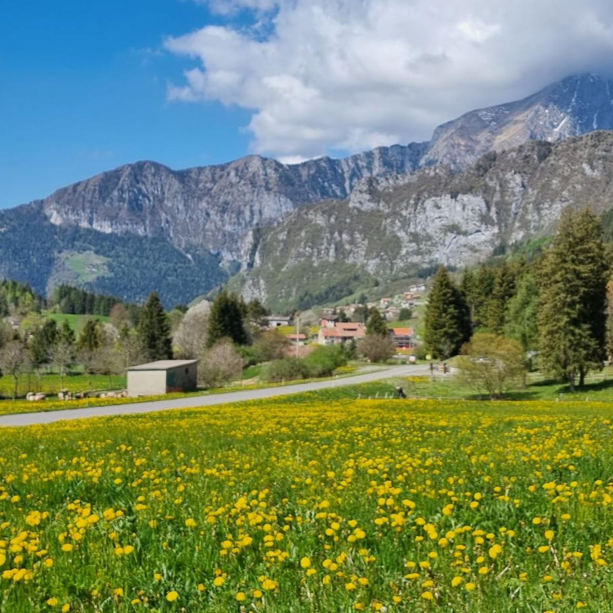
Hiking in Riserva Naturale Boschi Del Giovetto Di Paline
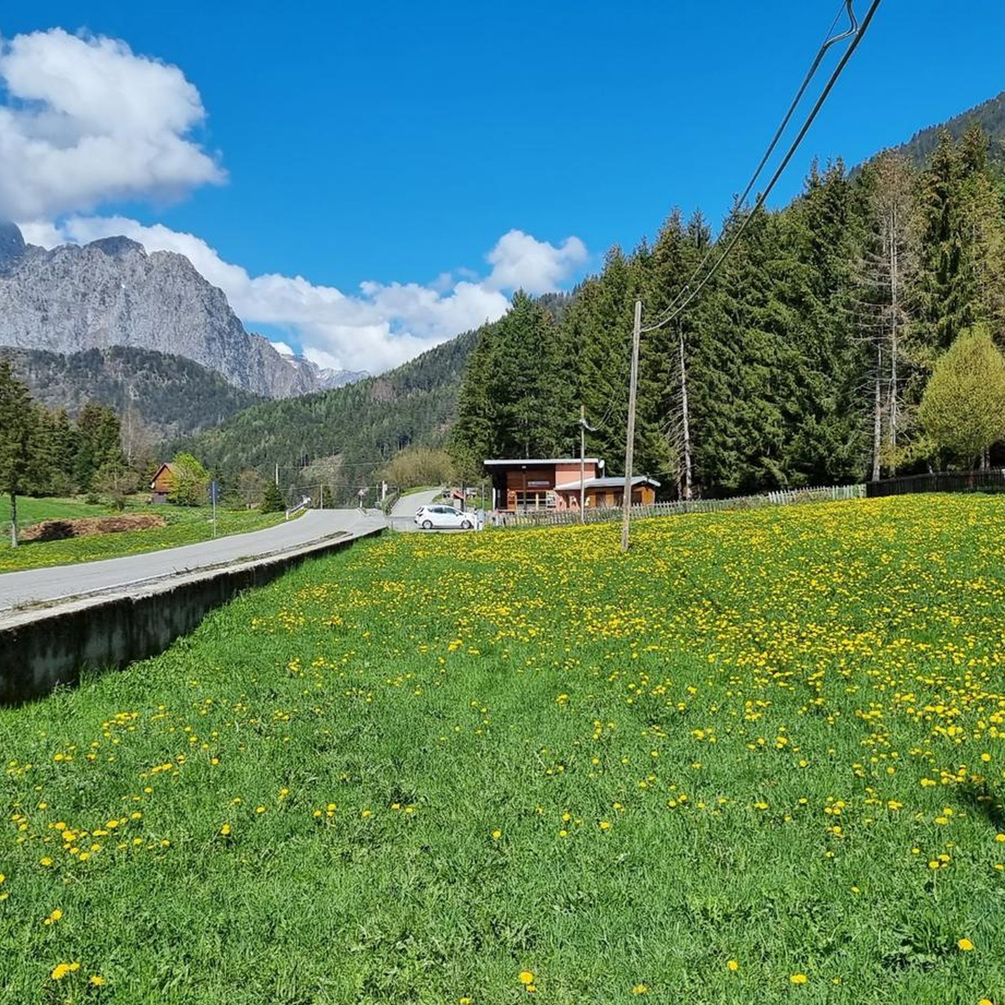
Road Cycling Routes in Riserva Naturale Boschi Del Giovetto Di Paline
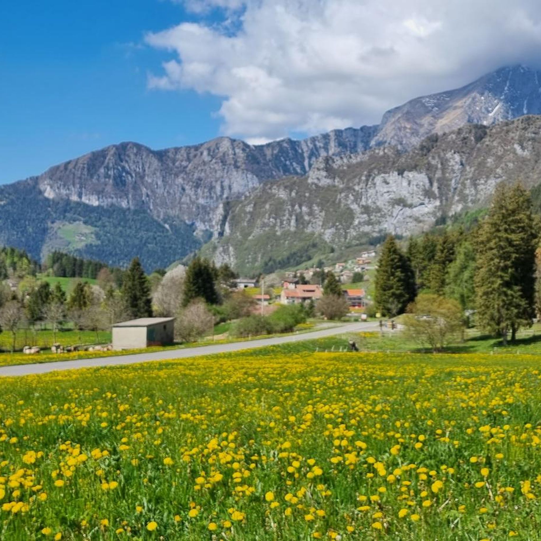
Cycling in Riserva Naturale Boschi Del Giovetto Di Paline
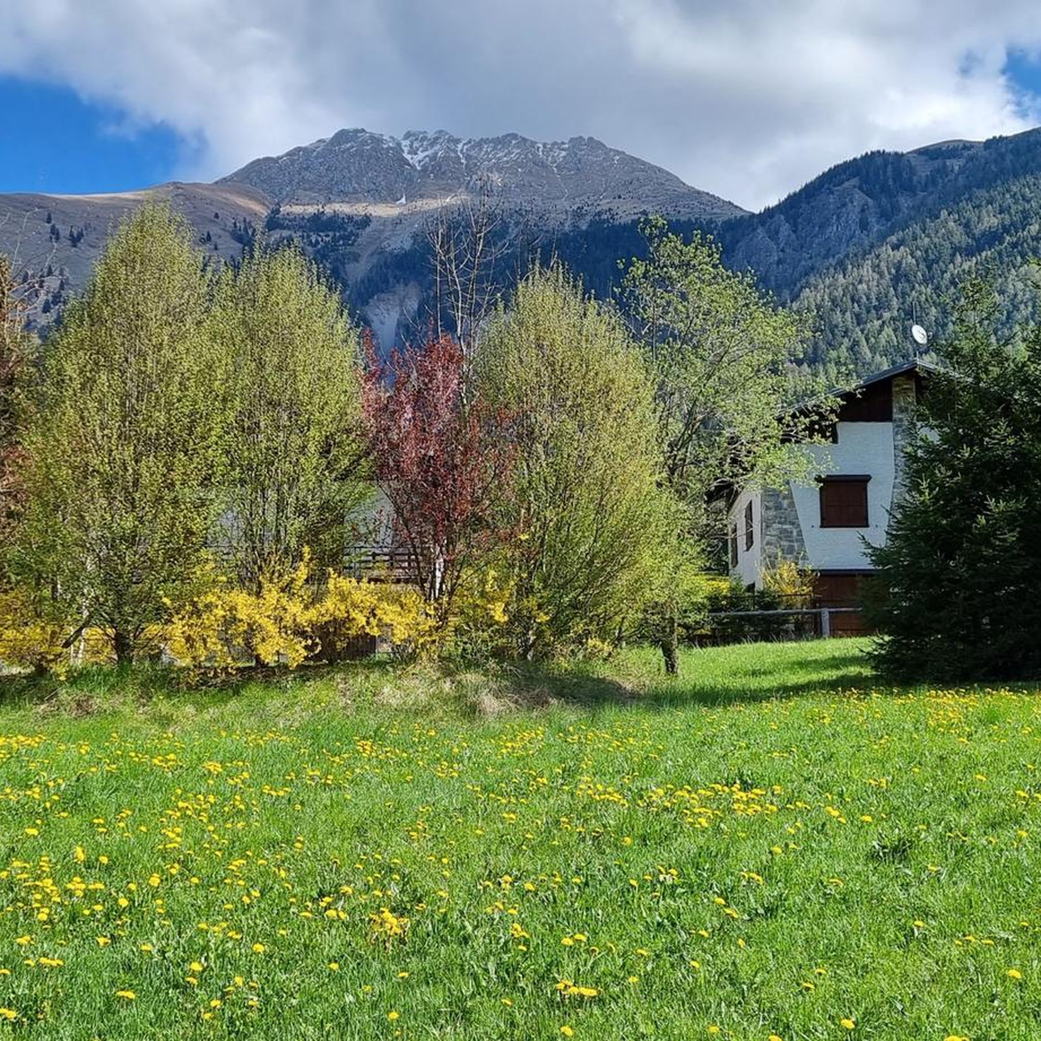
Running Trails in Riserva Naturale Boschi Del Giovetto Di Paline

Gravel biking in Riserva Naturale Boschi Del Giovetto Di Paline

Mountain Hikes in Riserva Naturale Boschi Del Giovetto Di Paline
Tips from the Community

during one of my tours, I found myself in this pass, spectacular how at the end of summer everything is incredibly green
0
0

21-06-26 Borno Ski Arena : chairlift closed / refuge closed ...I do not agree with this choice even though work is planned for the renovation of the structures, in the official communications from the municipality it was clearly written that they would not affect the normal running of the services...
0
0

It is a grassy saddle located on the ridge of the Costone, just above the Croce del Costone and before the terrain becomes rockier towards the Pale di San Fermo. It is a transit point, not a summit, but it is very scenic and represents an important junction for various itineraries.
0
0
🏔️ Monte Altissimo (Val Camonica) — Identity and main characteristics Monte Altissimo is a mountain in the Bergamo Prealps, 1703 m high, located between the lower Val Camonica and the lower Val di Scalve. It is the highest peak in the mountain group that separates these two valleys and overlooks the Borno plateau. Two very different sides Southern side: steep, rocky, almost devoid of vegetation, with a difference in altitude of about 1500 m from the Oglio valley floor. Northern side: gentle slope towards Borno, covered with fir trees and dotted with mountain huts, chalets and ski slopes of the Borno Ski Area. 🚶♂️ Hiking — The main itineraries Monte Altissimo is very popular with hikers thanks to the good network of trails (difficulty E). Here are the best-known and documented routes. 1) From Erbanno – Trail 197 or 155 A steep and challenging itinerary, with a significant difference in altitude. Trail 197: Start: Erbanno (Darfo Boario Terme) Passes through: small church of San Valentino (690 m), Malga Mine, junction with trail 194 From the cross: spectacular view of the lower Val Camonica and Lake Iseo Summit reachable in 15 minutes from the final junction Trail 155 (more direct and strenuous): Difference in altitude: about 1460 m Steep sections, some chains on a slightly exposed traverse Remarkable panorama over the meadows of the “Segable” Arrival at the Monte Altissimo refuge and the ski lifts 2) From Gorzone – Trail 154 A wilder route on the south side, with a long and tough climb. 3) From Borno – North side (ski slope areas) A gentler and more panoramic itinerary, often chosen for loop tours that include refuges, mountain huts and small churches (as in your story). 🏞️ What makes Monte Altissimo special Sharp contrast between the two sides: one severe and rocky, the other gentle and wooded. Wide panoramas of the lower Val Camonica, Lake Iseo and Presolana. Network of mountain huts and chalets still active in summer. Presence of the Monte Altissimo refuge at the summit, also reached by ski lifts. Possibility of very varied loops, combining woods, slopes, ridges and small isolated churches.
0
0
The Malga di Val Sorda is not a "classic" alpine pasture hut with grazing activities, but a hiking landmark located in the large meadow of Val Sorda, along the paths that lead from Croce di Salven towards Pratolungo, Malga Guccione, and finally Monte Altissimo. Online information describes it as part of the valley's pasture and pool system, crossed by CAI trails 186 and 187. 📍 Location The hut is located in the central pasture of Val Sorda, reached after about 1h10 of walking from Croce di Salven along trail 186. It is a junction point between: trail 186 (towards Pratolungo and Altissimo) trail 187 (steeper, climbs towards the Val Sorda refuge/structure)
0
0
The Campelli Pass is an Alpine pass at approximately 1,892 meters above sea level that connects the Scalve Valley (province of Bergamo) with the Camonica Valley (province of Brescia). It is a popular hiking destination for its scenic beauty and the variety of available itineraries. 🏔️ Main Features Location: Between Schilpario (BG) and Cerveno (BS) Elevation: approximately 1,892 m View: Spectacular view of Cimon della Bagozza and the Piccole Dolomiti Scalvine Access: From Schilpario – Fondi: winter route for snowshoeing or ski mountaineering From Schilpario – Baracca Rossa: shorter and more scenic summer route From Ono San Pietro (BS): longer and more challenging route 🚶♂️ Recommended Activities Summer Hiking: Well-marked trails, also suitable for families Winter Snowshoeing: Safe and picturesque itineraries in the snow Mountain Biking: Technical and scenic routes, with stops at the Campione Refuge and Campelli Lake 📍 Nearby Points of Interest Campione Refuge: Not far from the pass, offers refreshments and overnight accommodations Campelli Lake Campelli: a small Alpine lake, ideal for a break Madonnina dei Campelli: a panoramic and spiritual point along the route
0
0

A very pleasant climb from Val di Scalve to Borno. Beautiful and not particularly challenging. 😊
2
0

It's nice to cycle in Val Sorda, if you want there are routes that take you to the highest mountain, with a spectacular view...
0
0
Frequently Asked Questions
How many mountain bike trails are available in Riserva Naturale Boschi Del Giovetto Di Paline?
There are over 120 mountain bike trails in Riserva Naturale Boschi Del Giovetto Di Paline. These routes traverse extensive coniferous forests and open clearings, offering diverse terrain for all skill levels.
Are there mountain bike trails suitable for beginners in the reserve?
Yes, Riserva Naturale Boschi Del Giovetto Di Paline offers 12 easy mountain bike trails, perfect for beginners or those seeking a relaxed ride. Additionally, there are 55 moderate trails that provide a slightly greater challenge without being overly demanding. Many of these follow comfortable dirt roads through the scenic landscape.
What kind of terrain can I expect on the mountain bike trails?
The trails in Riserva Naturale Boschi Del Giovetto Di Paline feature a mix of extensive coniferous forests, primarily spruce and white fir, with larch trees at higher altitudes. You'll also encounter beautiful clearings and pastures, offering varied views. The geological makeup results in rounded hills and gentle slopes, making for accessible and enjoyable biking. Some routes incorporate ancient roads and mule tracks, adding a historical element to your ride.
What are some notable natural features or landmarks to look out for while mountain biking?
While riding, you might spot the large, dome-shaped nests of the Formica Rufa (Hairy Wood Ant), which can be up to 1.5 meters tall. The reserve was established to protect these ants, vital for the forest's health. You'll also traverse an ancient road that historically connected Valle Camonica and Val di Scalve via the Passo del Giovetto, now integrated into the trail system. Keep an eye out for various wildlife, including squirrels, hares, roe deer, and foxes.
Are there any challenging mountain bike routes for experienced riders?
Absolutely. For experienced riders seeking a challenge, there are 59 difficult mountain bike trails in the reserve. Routes like the Beautiful gravel road – San Fermo Hut loop from Azzone, covering 19.4 miles with significant elevation gain, offer a demanding ride. Another option is the Passo del Giovetto – Malga Valsorda loop from Azzone, a 23.4-mile trail with substantial climbing.
What do other mountain bikers enjoy most about the trails in Riserva Naturale Boschi Del Giovetto Di Paline?
The trails are highly rated by the komoot community, with an average score of 4.4 stars from over 600 reviews. Mountain bikers frequently praise the immersive forest experience, the diverse landscapes ranging from dense woodlands to open clearings, and the well-maintained trails that cater to various skill levels. The cooler temperatures within the forests are also appreciated, especially during warmer seasons.
Are there circular mountain bike routes available?
Yes, many of the mountain bike routes in Riserva Naturale Boschi Del Giovetto Di Paline are circular, allowing you to start and end at the same point. Examples include the Croce di Salven Pass – Beautiful gravel road loop from Riserva Naturale Boschi del Giovetto di Paline and the Beautiful gravel road – Old panoramic mule track loop from Azzone.
Is Riserva Naturale Boschi Del Giovetto Di Paline suitable for family mountain biking?
Yes, the reserve offers several easy and moderate trails that are suitable for families. The comfortable dirt roads and gentle slopes, particularly in areas like the route beginning in Azzone towards Passo del Giovetto, provide a pleasant and safe environment for family rides. Picnic areas, such as the one in Giuadel, are available for resting.
What is the best time of year to go mountain biking in the reserve?
The dense fir forests help maintain cooler temperatures, making it a pleasant location for biking even during warmer seasons. Spring and autumn generally offer ideal conditions with comfortable temperatures and vibrant scenery. Summer can also be enjoyable due to the shade provided by the extensive woodlands.
Where can I park when visiting the mountain bike trails?
The primary access points to the reserve are easily reached by car from Azzone and Borno. These villages serve as convenient starting points for numerous trails and mule tracks, and you can typically find parking facilities there to begin your ride.
Are dogs allowed on the mountain bike trails?
While the region is generally dog-friendly for outdoor activities, it's always recommended to keep dogs on a leash, especially given the presence of diverse wildlife such as roe deer, deer, foxes, and martens. This helps protect the local ecosystem and ensures a safe experience for all trail users.
Are there any amenities or services for mountain bikers nearby?
The wider Valseriana and Val di Scalve region, which encompasses the reserve, offers mountain specialists and gear shops. Within the reserve, picnic areas like the one in Giuadel provide convenient resting spots. For more extensive amenities, the nearby towns of Azzone and Borno are good places to check.
Most popular routes in Riserva Naturale Boschi Del Giovetto Di Paline
Most popular attractions in Riserva Naturale Boschi Del Giovetto Di Paline

Get inspired with the komoot mobile app


Explore more
Browse the best MTB trails in other regions.
