The best walks and hikes in Corso Dell'Arzilla
4.2
(439)
3,215
hikers
206
hikes
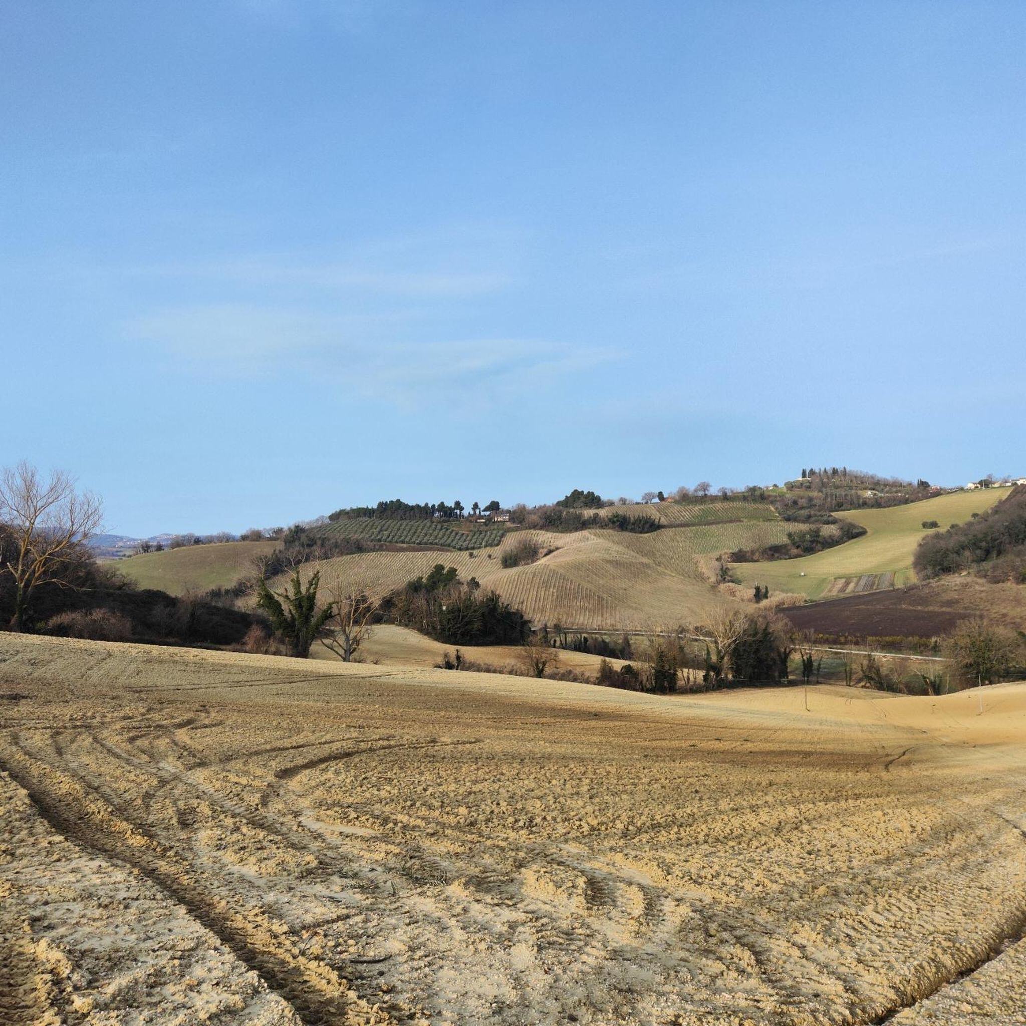
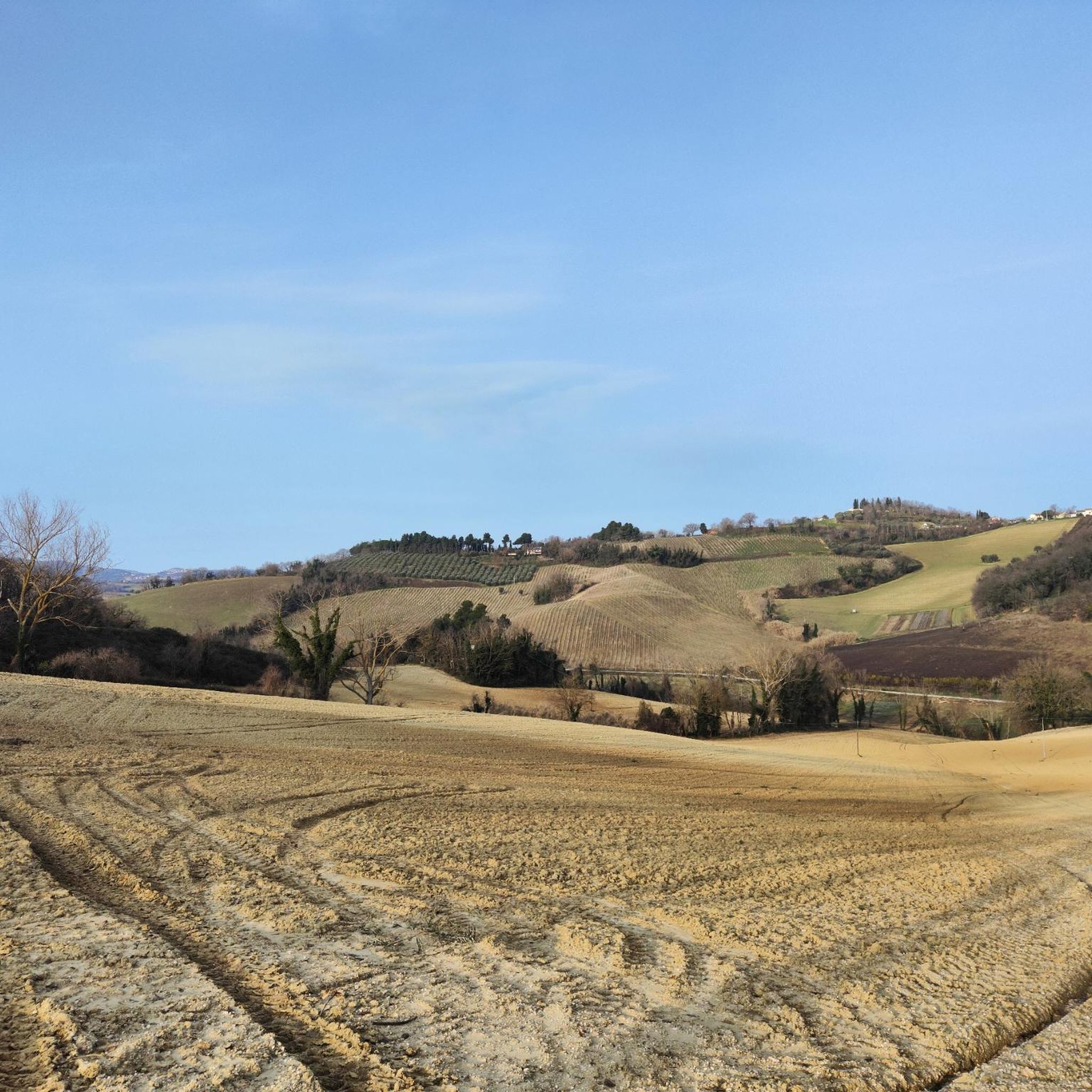
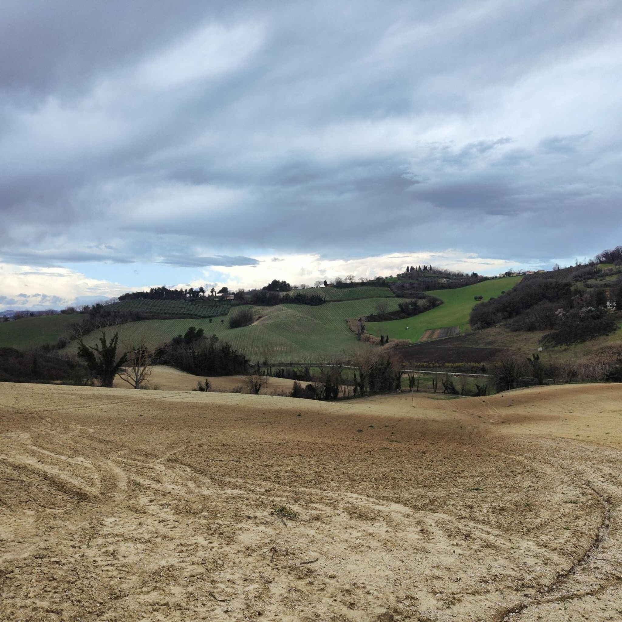
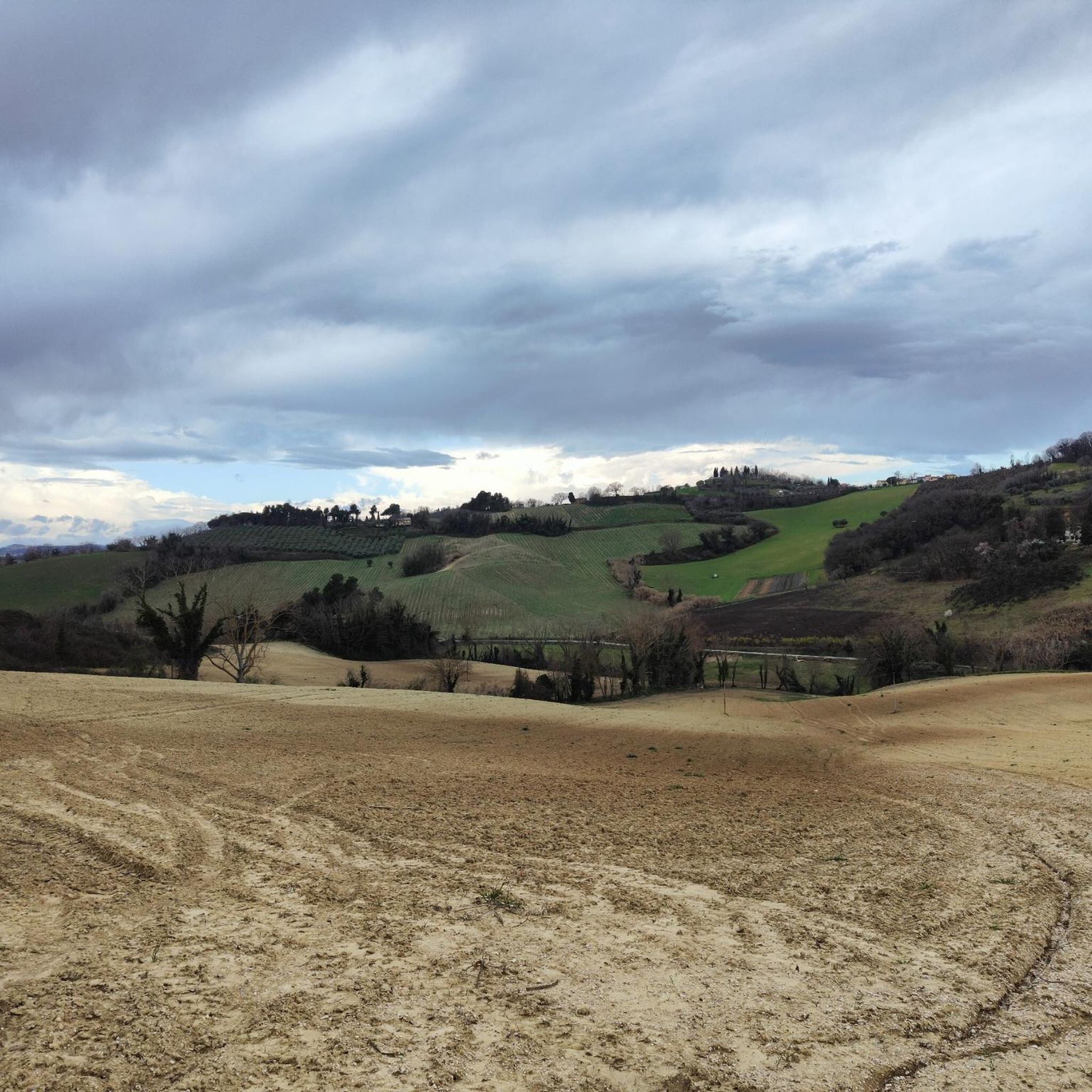
Hiking in Corso Dell'Arzilla, a Special Area of Conservation in Italy's Marche region, features a distinctive fluvial environment along the Arzilla torrent. The landscape is characterized by well-preserved riparian forests, small patches of woodland, and shrubland thriving on sandy and gravelly soils. This area presents a typical rural valley setting within the broader Pesaro and Urbino province, known for its gentle hills and varied terrain.
Best hiking trails in Corso Dell'Arzilla
- The most popular hiking route is Eremo di Monte…
Last updated: June 29, 2026
4.0
(1)
14
hikers
15.5km
04:29
400m
400m
Moderate hike. Good fitness required. Easily-accessible paths. Suitable for all skill levels.
12
hikers
11.1km
03:09
240m
240m
Moderate hike. Good fitness required. Mostly accessible paths. Sure-footedness required.

Sign up for free
1
hikers
9.43km
02:40
200m
200m
Moderate hike. Good fitness required. Easily-accessible paths. Suitable for all skill levels.
8
hikers
6.71km
02:00
190m
190m
Easy hike. Great for any fitness level. Easily-accessible paths. Suitable for all skill levels.
5.0
(2)
5
hikers
7.28km
02:05
170m
170m
Moderate hike. Good fitness required. Easily-accessible paths. Suitable for all skill levels.
Get access to more routes and recommendations from other explorers.
Sign up for free
Already have an account?
Our route recommendations are based on thousands of hikes, rides, and runs completed by other people on komoot.
Start today with a free account
Your next adventure awaits.
Login or Signup
Tips from the Community

Church immersed in the Fano countryside
0
0
A very pleasant dirt road to travel that runs alongside a riding stable and is surrounded by greenery.
1
0
Hermitage with a splendid view of Fano, starting point for many walking and cycling routes
1
0

Along this stretch of the Arzilla torrent, a splendid white road runs alongside a stable for horses and other animals, crossing meadows of great charm. Here you can cycle in nature, in the greenery just a few kilometers from Fano.
1
1

A place full of charm that I recommend visiting. Open to the public from Thursday to Sunday.
0
0

Beautiful mansion. You're always surrounded by trees, so it doesn't get that hot.
0
0

Splendid and peaceful monastery near Fano (Strada Comunale di Monte Giove 90). To reach it you face a rather demanding climb, about 27% inclination. Amazing view. For more information and history, I recommend visiting the website of the hermitage: https://eremomontegiove.it/
0
0
Hermitage of Monte Giove 27% 📐
0
0
Frequently Asked Questions
How many hiking trails are available in Corso Dell'Arzilla?
Corso Dell'Arzilla offers a wide variety of hiking opportunities, with over 190 routes recorded on komoot. These range from easy strolls to more challenging hikes, ensuring options for all skill levels.
What kind of terrain and natural features can I expect on hikes in Corso Dell'Arzilla?
The area is characterized by a distinctive fluvial environment along the Arzilla torrent, featuring well-preserved riparian forests. You'll also find small patches of woodland and shrubland on sandy and gravelly soils, set within a typical rural valley landscape. The trails often follow riverside paths and agricultural land, offering serene views.
Are there easy hiking trails suitable for families or beginners?
Yes, Corso Dell'Arzilla has many easy trails perfect for families or those new to hiking. There are 88 easy routes available. An example is the Eremo di Monte Giove loop from Fano, which is 6.7 km long and takes about 2 hours to complete.
Can I bring my dog on the hiking trails in Corso Dell'Arzilla?
Corso Dell'Arzilla is generally dog-friendly, but as a Special Area of Conservation, it's important to keep your dog under control, preferably on a leash, to protect local wildlife and ensure a pleasant experience for all hikers. Always clean up after your pet.
Are there any circular hiking routes in Corso Dell'Arzilla?
Yes, many of the trails in Corso Dell'Arzilla are circular, allowing you to start and end at the same point. Popular circular routes include the Eremo di Monte Giove loop from Fano 2 and the Le Vigne loop from Carignano Terme, which offers glimpses of the Arzilla torrent.
What are the natural highlights or viewpoints along the trails?
The primary natural highlights are the well-preserved riparian forests along the Arzilla torrent and the tranquil rural valley landscape. While there aren't specific named viewpoints in the immediate area, the trails offer picturesque views of the gentle hills and diverse habitats of the Pesaro and Urbino province.
What is the best time of year to go hiking in Corso Dell'Arzilla?
The best time to hike in Corso Dell'Arzilla is typically during spring and autumn when the weather is mild and the natural scenery is at its most vibrant. Summer can be pleasant, especially in the shaded riparian areas, but it can also be warmer. Winter offers a different, quieter experience, though some paths might be muddy after rain.
Where can I park when visiting the hiking trails in Corso Dell'Arzilla?
Parking options are generally available near the starting points of many trails, particularly in the small villages and rural areas surrounding Corso Dell'Arzilla, such as near Fano or Centinarola. It's advisable to check specific route details on komoot for recommended parking spots.
Is Corso Dell'Arzilla accessible by public transport?
Access to Corso Dell'Arzilla by public transport can be limited due to its rural nature. While major towns like Fano are accessible, reaching specific trailheads within the protected area might require a combination of public transport and a short walk or taxi ride. Planning ahead is recommended.
Are there any specific regulations or permits required for hiking in this protected area?
As a Special Area of Conservation (Zona Speciale di Conservazione – IT5310008), general rules for protected areas apply, such as staying on marked paths, not disturbing wildlife, and not leaving any waste. However, specific permits for hiking are typically not required for general access to the trails.
What do other hikers say about the trails in Corso Dell'Arzilla?
The trails in Corso Dell'Arzilla are highly rated by the komoot community, with an average score of 4.16 stars from over 370 reviews. Hikers often praise the peaceful rural valley landscape, the beauty of the riparian forests, and the variety of routes suitable for different abilities.
Are there options for longer or more challenging hikes in the area?
Yes, while many trails are moderate, there are options for longer and more challenging hikes. For instance, the Eremo di Monte Giove – Eremo di Monte Giove loop from Centinarola is a moderate 11.1 km path that explores the gentle hills and woodlands, offering varied scenery and a longer duration of about 3 hours 10 minutes.
What kind of wildlife might I encounter while hiking?
As a Special Area of Conservation, Corso Dell'Arzilla is rich in biodiversity. You might encounter various bird species, small mammals, and diverse insect life, especially within the riparian forests and shrublands. The area's protected status helps maintain these natural habitats.
Most popular routes in Corso Dell'Arzilla

Get inspired with the komoot mobile app


Explore more
Browse the best Hikes in other regions.
