The best road cycling routes in Riserva Naturale Orientata Delle Serre Della Pizzuta
4.4
(21)
209
riders
19
rides
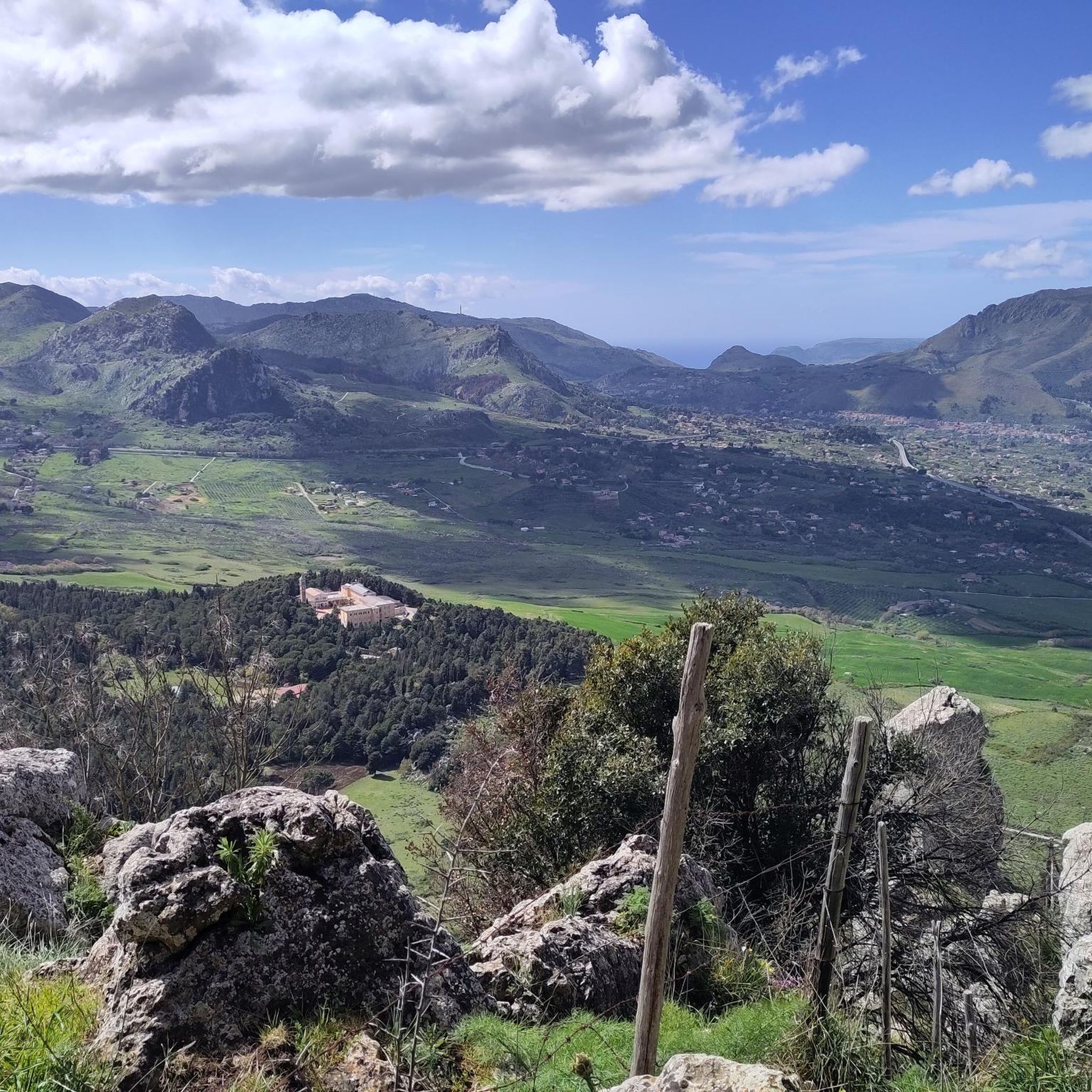
Road cycling routes in Riserva Naturale Orientata Delle Serre Della Pizzuta traverse a mountainous complex characterized by carbonatic uplands and distinctive karstic landscapes. The terrain features sharp peaks and ridges, such as La Pizzuta at 1,333 meters and Maja e Pelavet at 1,279 meters, alongside undulating valleys. Varying elevations and diverse landscapes, including oak forests and native plant life, define the region's road cycling experience.
Best road cycling routes in Riserva Naturale Orientata Delle Serre Della Pizzuta
- The most popular…
Last updated: September 27, 2026
5.0
(1)
20
riders
51.2km
02:14
440m
440m
Moderate road ride. Good fitness required. Mostly well-paved surfaces and easy to ride.
17
riders
Hard road ride. Very good fitness required. Some segments of this route may be unpaved and difficult to ride.

4.0
(1)
13
riders
Moderate road ride. Good fitness required. Mostly well-paved surfaces and easy to ride.
5.0
(1)
7
riders
72.0km
03:50
1,360m
1,360m
Hard road ride. Very good fitness required. Mostly well-paved surfaces and easy to ride.
3.5
(2)
55
riders
Moderate road ride. Good fitness required. Mostly well-paved surfaces and easy to ride.
Get access to more routes and recommendations from other explorers.
Already have an account?
Our route recommendations are based on thousands of hikes, rides, and runs completed by other people on komoot.
Start today with a free account
Your next adventure awaits.
Popular around Riserva Naturale Orientata Delle Serre Della Pizzuta
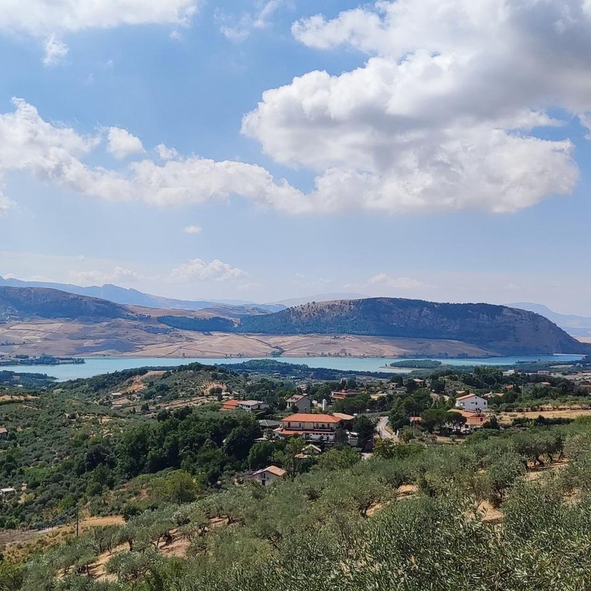
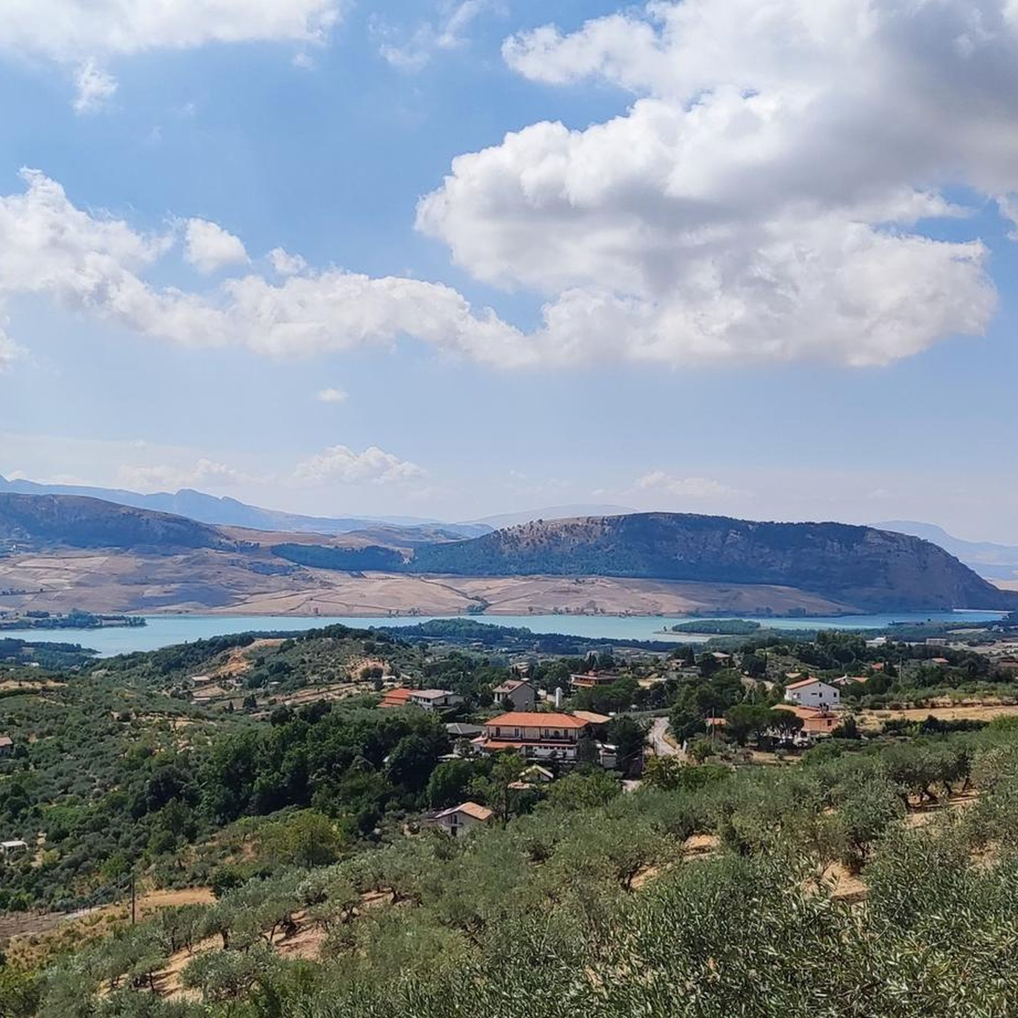
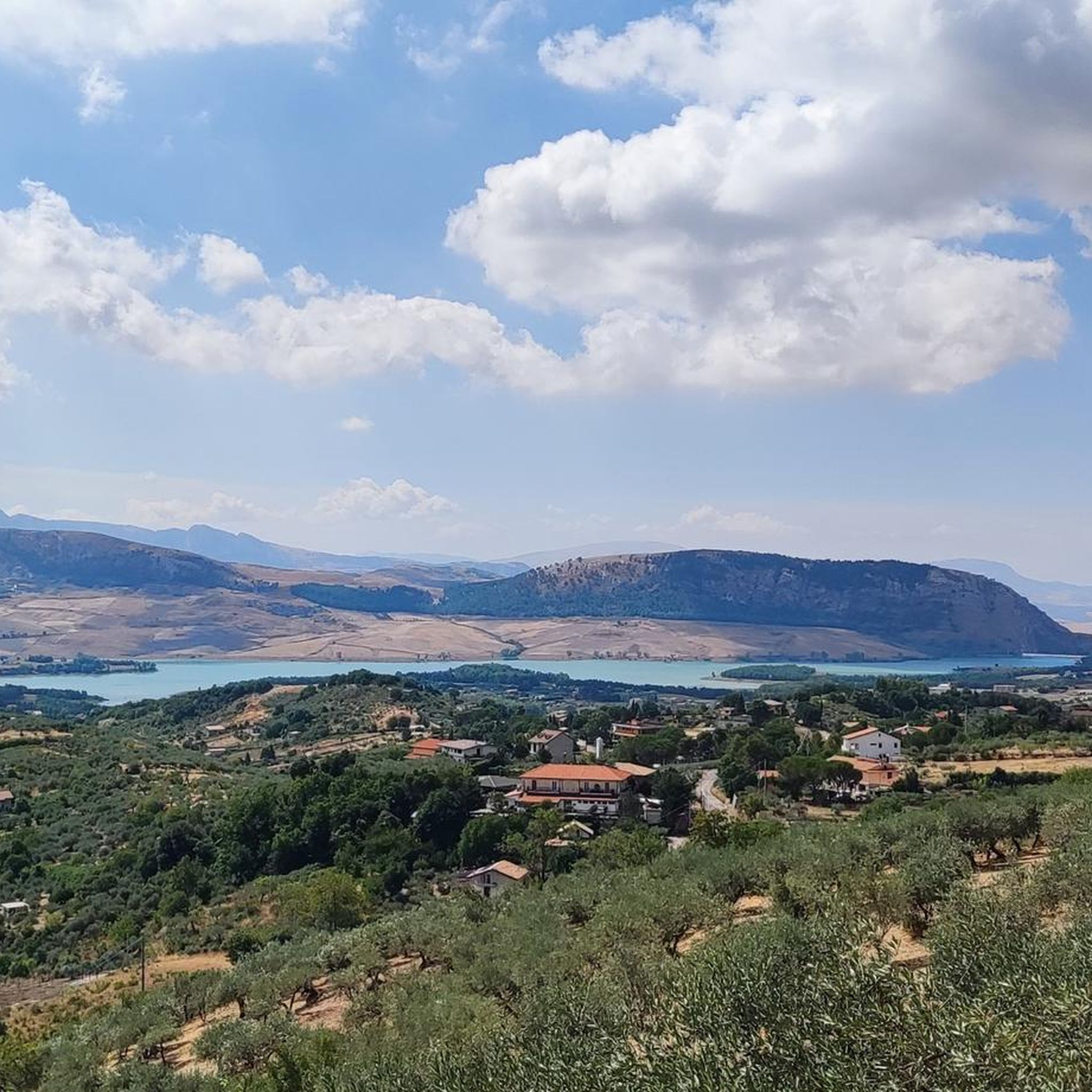
Tips from the Community

The Piazza XV Gennaio 1968, paved with travertine marble, is located in the central area of the city. It owes its name to the memory of the day a violent earthquake destroyed a large part of the Municipalities of the Belìce Valley. On it stands the Town Hall, an imposing frontal structure with geometric shapes, interspersed with glass openings, designed by Vittorio Gregotti and Giuseppe Samonà, supported by a portico decorated with ceramics created by Carla Accardi.
0
0

The living room of Piana degli Albanesi, where you can enjoy the beating heart of the small town, perhaps biting into one of the renowned cannoli, in the small bar overlooking the square.
0
0

Starting just outside the town of San Giuseppe Jato, this stretch of provincial road 20 climbs up to the picturesque Portella della Paglia pass, in a succession of hairpin bends and breathtaking views. The surface isn't perfect, but you can pedal safely even on a small section of landslide, which is well-marked. Tackled in autumn/winter, it almost feels like you're not in Sicily.
0
0
Located at the end of Corso Calatafimi and the road to Monreale, it is one of the four historic entrance gates to the city of Palermo, perhaps the most important.
0
0
A village uninhabited for decades, ever since the entire population was relocated en masse to a brand-new town. Three thousand people, the exodus of survivors of the 1968 earthquake that destroyed entire towns in the provinces of Trapani and Agrigento. Today, only façades remain, baroque railings, old majolica tiles, a tangle of houses leaning against the bell tower of the main church, and stairways that look like they were cut out with scissors on a sheet of paper. Before the earthquake, Poggioreale was a delightful baroque village, with noble palaces, the square with the club, the inn, and everything else. The ruins bear witness to a tragedy from 40 years ago: fear, escape, separation. A place that, due to its beauty and the evocative atmosphere it evokes, has been the setting for numerous famous films: it is here that Tornatore filmed some scenes from Malena and The Star Man. An island out of time, with the hands of the clock stopped on the terrible night of January 15, 1968.
20
0
Piazza 15 gennaio 1968 is the main square of the city of Gibellina, dedicated to the tragedy that struck it on the night between 14 and 15 January 1968 with a terrible earthquake.
16
0
Spatial Rhythms is the name of Carmelo Cappello's work. Made entirely of stainless steel, it features movable circles that, thanks to pivots and an electronic mechanism, move with the wind, reflecting and diffusing the intense light of the sun, the eternal symbol of the island. It is located between Viale Santa Ninfa and Via degli Elimi in Gibellina.
28
0
Frequently Asked Questions
How many road cycling routes are available in Riserva Naturale Orientata Delle Serre Della Pizzuta?
The region offers over 15 dedicated road cycling routes, catering to various skill levels. You'll find a mix of easy, moderate, and challenging options to explore the diverse landscapes.
What kind of terrain can I expect when road cycling in the Riserva Naturale Orientata Delle Serre Della Pizzuta?
You can expect a mountainous complex with diverse terrain. The area features carbonatic uplands, distinctive karstic landscapes with sharp peaks and ridges, and undulating valleys. Routes often pass through oak forests and showcase native plant life, with many sections on paved surfaces suitable for road bikes.
Are there road cycling routes suitable for beginners or those looking for an easier ride?
Yes, while the region is known for its mountainous terrain, there are routes suitable for less experienced cyclists. For instance, there is at least one easy route, and 12 moderate routes that offer a good balance of challenge and accessibility. These routes allow you to enjoy the scenery without overly strenuous climbs.
What are some notable natural features or landmarks I might encounter on a road cycling route?
The reserve is rich in natural and geological features. You might pass by the impressive karstic landscapes, including microforms like incisions and dolines. Notable caves such as Grotta dello Zubbione and Grotta del Garrone are also part of the region's unique geology. On the western slopes of La Pizzuta, you can also find historical 'neviere,' artificial depressions used to preserve snow.
Are there any challenging road cycling routes for experienced riders?
Absolutely. The mountainous terrain provides excellent opportunities for experienced cyclists. There are 5 routes categorized as difficult, featuring significant elevation changes. An example is the Santa Cristina Gela – Ficuzza Royal Hunting Lodge loop from Altofonte, which covers 73.2 km with substantial elevation gain, making it a demanding ride.
What do other road cyclists enjoy most about cycling in Riserva Naturale Orientata Delle Serre Della Pizzuta?
The komoot community highly rates the road cycling experience here, with an average score of 4.6 stars from over 15 reviews. Cyclists often praise the stunning vistas, the diverse landscapes ranging from oak forests to karstic formations, and the variety of routes that cater to different ability levels.
Can I find routes that offer panoramic views of the surrounding area?
Yes, many routes in the region offer spectacular panoramic views. For instance, the Great panoramic point over Palermo – Monreale Cathedral loop from Cantoniera 7 is specifically highlighted for its panoramic vistas, including views towards Palermo and cultural landmarks.
Are there any circular road cycling routes available?
Yes, several routes are designed as loops, allowing you to start and end at the same point. Examples include the Fish market – View of Palermo Coast loop from Altofonte and the Stone Tunnel – Caffè del Corso loop from Villaciambra. These circular routes are convenient for exploration.
What is the best time of year for road cycling in Riserva Naturale Orientata Delle Serre Della Pizzuta?
The Mediterranean climate generally makes spring and autumn ideal for road cycling, offering pleasant temperatures and lush scenery. Summers can be hot, especially at lower elevations, so early mornings or late afternoons are preferable. Winters are milder but can bring rain, especially in the higher mountainous areas.
Is there parking available for road cyclists visiting the reserve?
While specific parking areas for cyclists are not detailed in the guide, visitors typically find parking in nearby towns like Piana degli Albanesi or at designated points along the main access roads leading into the reserve. It's advisable to check local parking regulations upon arrival.
Are there any specific regulations or permits required for road cycling within the reserve?
The guide does not specify any particular permits required for road cycling on the paved routes within the Riserva Naturale Orientata Delle Serre Della Pizzuta. However, as a protected natural area, it's always recommended to respect local regulations, stay on marked paths, and minimize your environmental impact. For detailed information on the reserve, you can visit visitpiana.com.
Can I find cafes or places to refuel along the road cycling routes?
While the routes themselves traverse natural landscapes, you'll typically find cafes and refreshment points in the towns and villages bordering the reserve, such as Piana degli Albanesi or Altofonte. Planning your route to pass through these settlements is a good way to ensure you have opportunities to refuel.
Most popular routes in Riserva Naturale Orientata Delle Serre Della Pizzuta

Get inspired with the komoot mobile app


Explore more
Browse the best Road cycling routes in other regions.
