The best running trails in Monte Ortobene
3.6
(6)
242
runners
22
runs
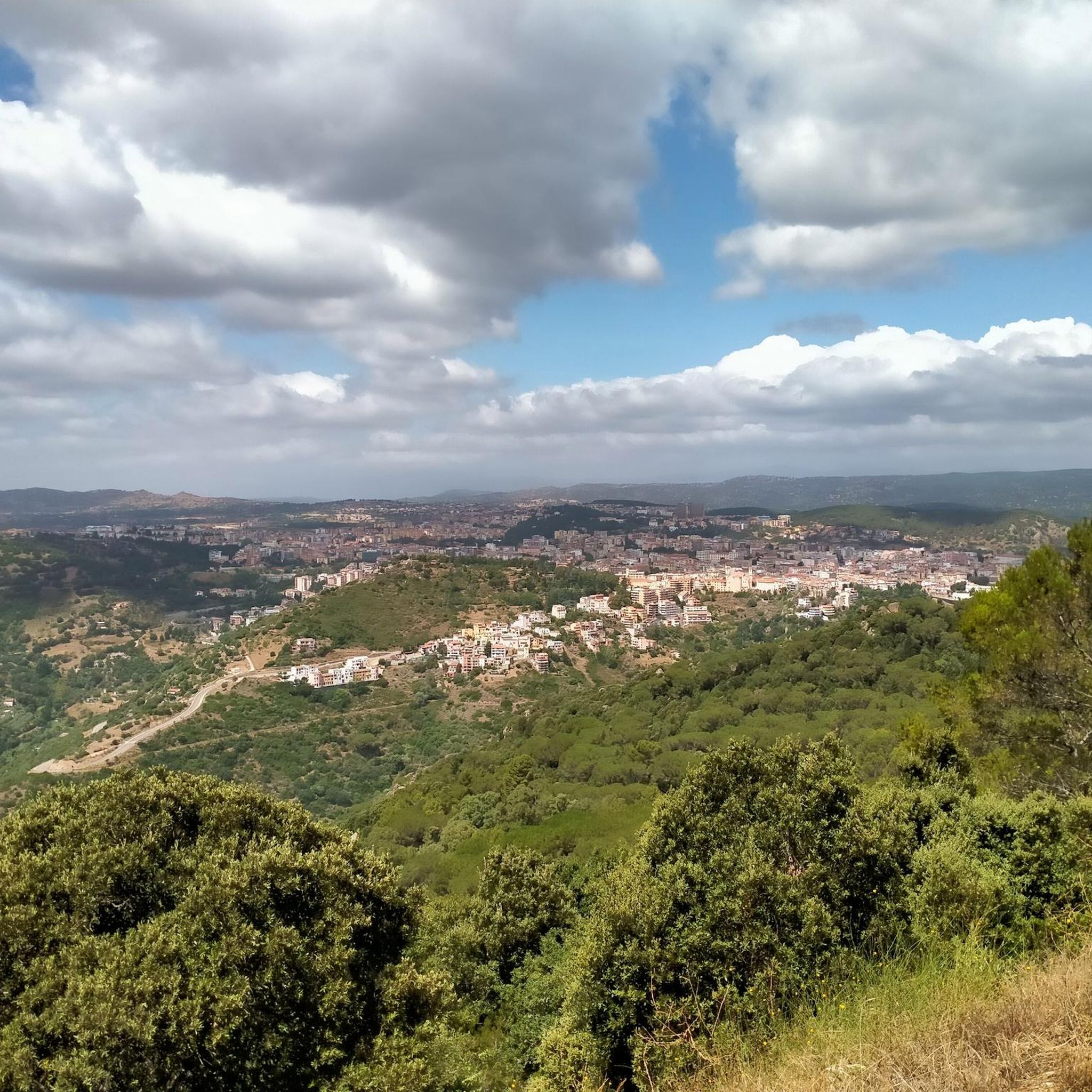
Jogging in Monte Ortobene offers a diverse landscape characterized by ancient granite formations and dense forests of holm oaks, fir, and pine. The region features varied trails that lead through these wooded areas and open spaces, providing both shade and panoramic views. Rivers and valleys frame the mountain, adding to the scenic variety of the running routes. Monte Ortobene's terrain includes both challenging ascents and gentler paths, making it suitable for a range of running experiences.
Best jogging routes in…
Last updated: October 11, 2026
5.71km
00:46
230m
230m
Moderate run. Good fitness required. Mostly accessible paths. Some sure footedness required.
5.0
(1)
3
runners
12.9km
01:42
450m
450m
Hard run. Very good fitness required. Sure-footedness, sturdy shoes and alpine experience required.

18
runners
10.5km
01:28
430m
430m
Hard run. Very good fitness required. Sure-footedness, sturdy shoes and alpine experience required.
15
runners
18.3km
02:04
450m
450m
Hard run. Very good fitness required. Mostly paved surfaces. Suitable for all skill levels.
6
runners
10.4km
01:09
230m
230m
Moderate run. Good fitness required. Mostly paved surfaces. Suitable for all skill levels.
Get access to more routes and recommendations from other explorers.
Already have an account?
Our route recommendations are based on thousands of hikes, rides, and runs completed by other people on komoot.
Start today with a free account
Your next adventure awaits.
Other adventures in Monte Ortobene

Tips from the Community

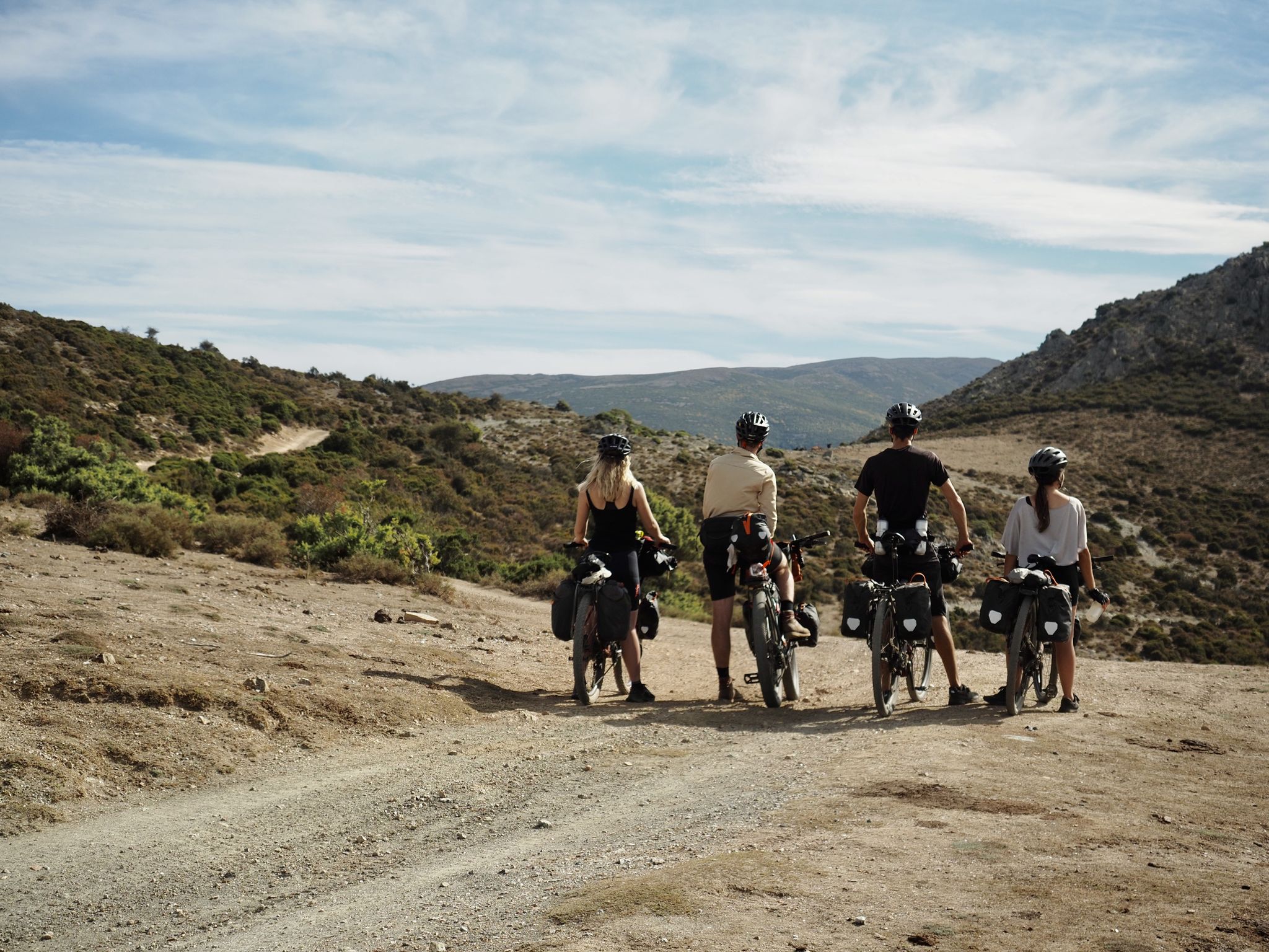
Incredibly beautiful to bike here
0
0

At the top of Monte ORTOBENE, hikers will not find a classic summit cross, as is the case with many mountain ridges. Instead, there is a statue of the "Christo Redentore". Jesus Christ, the Savior and Redeemer, appears to be floating above the mountain as the resurrected one, as his feet no longer touch the ground. The cross held in one hand is therefore no longer a sign of death, but has become a symbol of the overcoming of sin and death. The artist of the statue has succeeded in portraying this Christian belief in a relaxed elegance.
3
0

Path not too difficult, to pedal
2
0
Statue of the Redeemer, at the park at the top of Mount Ortobene
1
0

Granitic hill located east of the city of Nuoro, at the top is the statue of the redeemer. It was also a historic finish in the Giro di Sardegna.
0
0
It is an ancient granite hill above the city of Nuoro. 955 m above sea level houses, at the top, a large bronze statue of the Redeemer, the work of the sculptor Vincenzo Jerace. «No, it is not true that the Ortobene can be compared to other mountains; Ortobene is only one in the whole world: he is our heart, he is our soul, our character, everything that is great and small, sweet and hard and sour and painful in us. Cit. (Letter from Grazia Deledda (Nobel Prize for Literature in 1926) to Salvator Ruju, Nuoro, 5 September 1905)
1
0

History According to legend, the Sanctuary was born thanks to an archaic wooden statue found by a shepherd in the 17th century, who miraculously healed the city from the plague. The ancient sacred building was built in 1670, thanks to the project by Nicola Ruiu Manca, then replaced by a church in 1946. Since 1957, the icon of the Madonna delle Grazie has been kept in the new Sanctuary, next to the church. The Sanctuary The new Sanctuary was designed in the 1950s by the architect Don Verri and is characterized by a high facade, in polished granite, decorated with mosaics representing the fifteen Mysteries of the Rosary. Of the ancient Sanctuary we can only notice the facade, consisting of an ornate portal and a trachyte rose window, derived from the older church of Nuoro. The Sanctuary, as a whole, is formed by a very simple architectural scheme: an elongated room, covered by a barrel vault, which ends in a square presbytery. Inside we can admire two superimposed altars where, in the upper altar, the Virgin of Grace is kept. The small wooden sculpture represents a young woman holding the Child to her breast with her left hand and who, in turn, holds the world in the palm of her hand. To appreciate the cycle of seventeenth-century frescoes that outline the figures of the twelve Apostles with other Saints. Noteworthy is the imposing bell tower, which was also part of the previous Sanctuary. Source: https://www.vaticano.com/turismo/scheda_19_santuario-di-nostra-signora-delle-grazie.html
0
0
Frequently Asked Questions
How many running routes are available in Monte Ortobene?
Monte Ortobene offers a wide selection of running routes, with over 25 trails to explore. These routes cater to various preferences, including easy, moderate, and difficult options.
What kind of terrain can I expect on the jogging trails in Monte Ortobene?
The jogging trails in Monte Ortobene feature a diverse landscape characterized by ancient granite formations and dense forests primarily composed of holm oaks, fir, and pine. You'll find varied paths leading through these wooded areas and open spaces, offering both shaded sections and expansive views. The terrain includes both challenging ascents and gentler paths, providing a varied running experience.
Are there running routes for all fitness levels in Monte Ortobene?
Yes, Monte Ortobene provides running routes suitable for various fitness levels. There are 4 easy routes, 10 moderate routes, and 15 difficult routes, ensuring options for beginners and experienced runners alike.
What notable landmarks or points of interest can I see while running in Monte Ortobene?
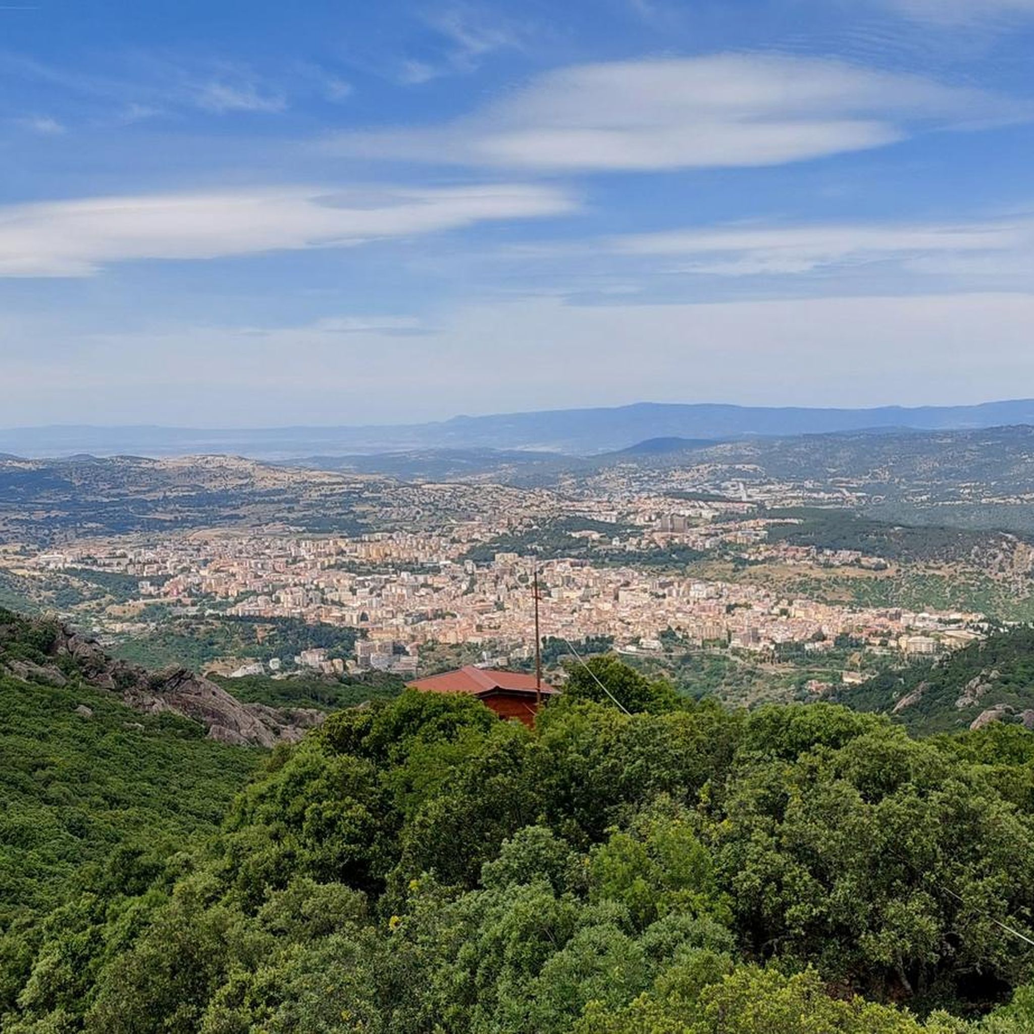
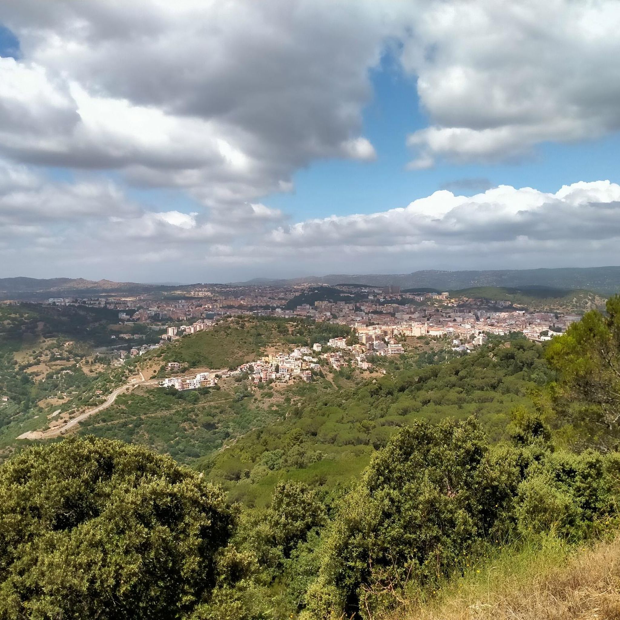
While running in Monte Ortobene, you can encounter several significant landmarks. The most prominent is the 7-meter-high bronze Christ the Redeemer statue on Monte Ortobene at the summit, offering spectacular views. You can also enjoy panoramic vistas from Mount Ortobene (Nuoro - Sardinia) and take in the View of Nuoro from Monte Ortobene. Additionally, the area features ancient granite formations and dense forests.
Are there circular running routes available in Monte Ortobene?
Yes, Monte Ortobene features several circular running routes. A popular option is the Monte Ortobene — Ring tour, a 3.5-mile (5.7 km) trail that offers a balanced experience through the mountain's varied terrain.
Where can I find more challenging running routes in Monte Ortobene?
For a more challenging run, consider the Forest Trail in Monte Ortobene loop from Nuoro, a difficult 6.5-mile (10.5 km) path winding through dense forests. Another demanding option is the Monte Ortobene Ascent loop from Nuoro, a 9.1-mile (14.7 km) trail leading through granite formations with expansive views.
Is parking available near the running routes in Monte Ortobene?
Yes, parking is generally available at various access points around Monte Ortobene, especially near popular parks like 'Sedda Ortai' and 'Il Redentore' at the summit. These areas provide convenient starting points for many of the running trails.
Can I bring my dog on the running trails in Monte Ortobene?
Monte Ortobene's extensive trail network through forests and open areas is generally dog-friendly. However, it's always recommended to keep your dog on a leash, especially given the presence of diverse wildlife such as Sardinian wild boar and foxes, and to respect any local signage regarding pet regulations.
What is the best time of year to go running in Monte Ortobene?
The best time to go running in Monte Ortobene is typically during spring and autumn. These seasons offer pleasant temperatures, lush vegetation, and vibrant colors. Summer can be warm, but the dense forests provide ample shade, making early mornings or late afternoons suitable. Winter offers cooler, crisp conditions, though some higher trails might be affected by weather.
What do other runners enjoy the most about jogging in Monte Ortobene?
The running routes in Monte Ortobene are highly rated by the komoot community, with an average score of 4.75 stars from over 4 reviews. Runners often praise the 'infinite variety of views,' the serene setting of the dense forests, and the unique ancient granite formations. The combination of challenging ascents and gentler paths, along with cultural landmarks, makes for a rewarding experience.
Are there any easy running paths suitable for a relaxed jog?
Yes, for a more relaxed jog, Monte Ortobene offers several easy paths. One such route is the Pineta di Ugolio loop from Santu Predu/San Pietro, which is a moderate 3.9-mile (6.2 km) trail with relatively low elevation gain, perfect for a refreshing run through the pine forest.
Are there routes that offer views of the surrounding region?
Absolutely. Many routes in Monte Ortobene provide stunning panoramic views. From its highest peak, Cuccuru Nigheddu, you can enjoy vistas stretching from Monte Albo to the Orune plateau. The views across the valley to Oliena and Monte Corrasi are particularly breathtaking, especially at dusk when the limestone peaks glow pink.
Most popular attractions in Monte Ortobene

Get inspired with the komoot mobile app


Explore more
Browse the best Running Trails & Routes in other regions.
