The best walks and hikes in Kortright Centre For Conservation
4.4
(7)
106
hikers
13
hikes
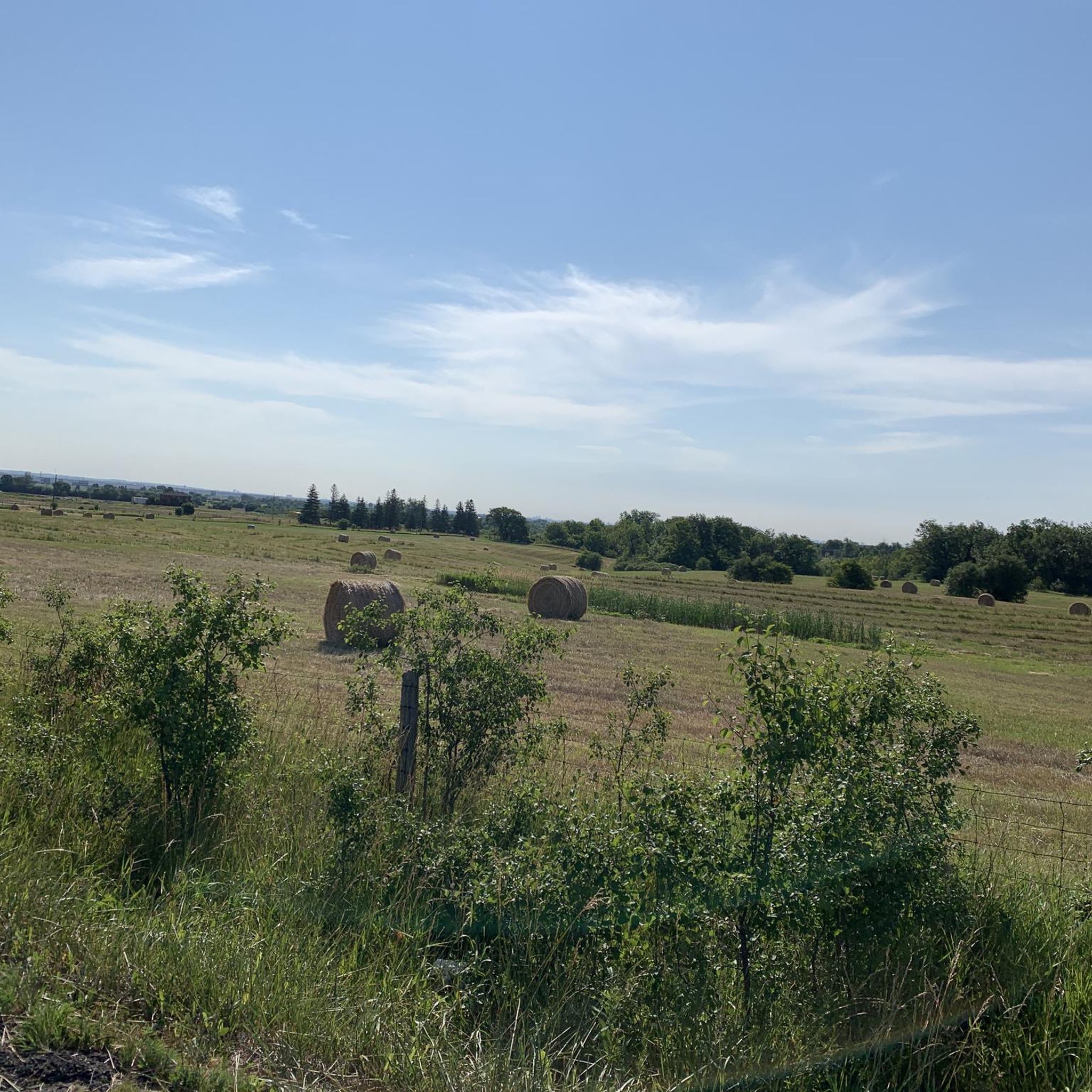
Hiking in Kortright Centre For Conservation offers over 16 kilometers of trails across 325 hectares of diverse natural landscapes. The area features mature forests, open meadows, and significant marsh areas, with the Humber River running through its western part. Cold Creek and Harris Creek are located to the north, contributing to the varied ecosystems. Terrain is generally level, with trail surfaces including natural paths, crushed stone, asphalt, and boardwalks.
Best hiking trails in Kortright Centre For Conservation
- The most popular…
Last updated: September 30, 2026
3.5
(2)
12
hikers
7.27km
01:57
90m
90m
Hike an easy 4.5-mile loop through woodlands and marsh areas at Kortright Center for Conservation, with views of the Humber River.
8
hikers
7.01km
01:54
90m
90m
Easy hike. Great for any fitness level. Easily-accessible paths. Suitable for all skill levels.

1.81km
00:29
20m
20m
Easy hike. Great for any fitness level. Easily-accessible paths. Suitable for all skill levels.
4.0
(2)
5
hikers
5.64km
01:30
60m
60m
Easy hike. Great for any fitness level. Easily-accessible paths. Suitable for all skill levels.
5.0
(1)
40
hikers
9.76km
02:34
80m
80m
Hike the moderate 6.1-mile William Granger Greenway and Kortright Centre Loop, featuring diverse landscapes and river views near Vaughan.
Get access to more routes and recommendations from other explorers.
Already have an account?
Our route recommendations are based on thousands of hikes, rides, and runs completed by other people on komoot.
Start today with a free account
Your next adventure awaits.
Popular around Kortright Centre For Conservation

Tips from the Community

This short, multi-use trail forms a loop from the parking area near the Visitor Centre. While the full loop is only 1.3 kilometres, the trail does cross paths with other trails in the Kortright Centre for Conservation so you can create a longer excursion if you have the time and inclination to do so.
0
0

The Kortright Centre for Conservation operates a demonstration sugarbush to educate visitors on how maple syrup is made from the sap of their sugar maple trees. In late winter and early spring, the trees naturally move sap through their trunks, and in that short window when maple syrup is harvested, so if you are hiking during this time, you will often see buckets hanging on the trees. In the spring, you can visit during the Maple Syrup Festival and enjoy live maple syrup boiling demonstrations, visit the historic sugar shack, and Learn about Indigenous and early settler maple syrup traditions.
0
0
The Spruce Trail takes hikers through forests of spruce trees and evergreen stands, and patches of deciduous woodland. The trail is mostly a flat dirt surface and is open year-round.
0
0

A large conservation area in Vaughan known for its forest trails, wetlands, and educational programs. The centre has a well-marked network of walking, running and biking trails, ranging from short loops like the Maple and Cold Creek routes to longer tracks like the Wetland Trail. Surfaces vary between dirt, gravel, and boardwalks, and the terrain stays mostly level throughout. With parking, visitor facilities, and multiple trail connections, it’s a practical starting point or midpoint for routes in the surrounding greenbelt.
0
0
An easy trail that skirts the edge of Kortright’s wetlands, giving clear views over the marsh and its seasonal wildlife. The route is flat and follows a mix of dirt surface and short boardwalk sections. The trail connects directly to the wider network at Kortright, making it a practical add-on for any route passing through the conservation area.
0
0
A short forest loop at the Kortright Centre, the Maple Trail runs through mature hardwood woodland and is one of the centre’s most accessible routes. The path is well-marked, gently graded, and suitable for walking and running. It’s used year-round, with boardwalk sections and educational signs that highlight local ecology and maple-syrup heritage. The trail links easily to other Kortright routes, making it a practical add-on or starting point for any hike in the conservation area.
0
0
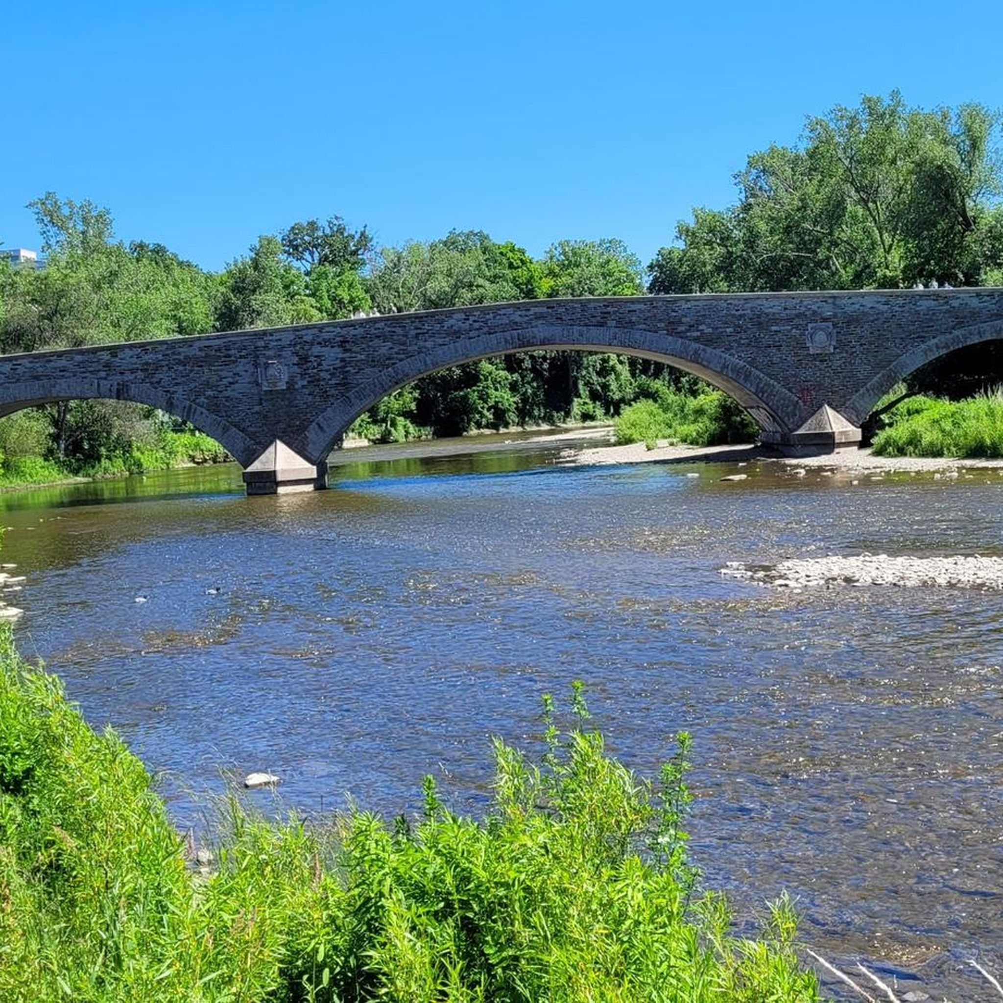
The East Humber River flows through farms and parks in northern Toronto before joining the main branch of the Humber River in Woodbridge. There's a good trails system along its banks that allow hikers to visit various parks and nature preserves with ease.
0
0
The William Granger Greenway is a scenic trail running between Bindertwine Park and Boyd Conservation Area. Along the way it passes through a mix of natural landscapes and parks. A short side trail leads into Kleinburg, where you can visit the McMichael Canadian Art Collection or explore the village’s historic main street and shops. Parking is available at Bindertwine Park, Boyd Conservation Area, and the Rutherford Road trailhead. You can also use the trail to reach nearby facilities such as the Kleinburg Library, Al Palladini Community Centre, Pierre Berton Library, and the Kortright Centre.
0
0
Frequently Asked Questions
How many hiking trails are available in Kortright Centre For Conservation?
Kortright Centre For Conservation offers a network of about 14 hiking trails, catering to various preferences. The trails cover over 16 kilometers across 325 hectares of diverse natural landscapes.
What kind of landscapes can I expect to see while hiking here?
Hikers can explore a variety of landscapes including mature forests, open meadows, and significant marsh areas. The Humber River runs through the western part, and you'll find boardwalks through wetlands, offering views of local wildlife like ducks, geese, and beavers.
Are there any accessible trails for all abilities?
Yes, the Kortright Centre has accessible options. The Maple Trail, for instance, is well-marked and gently graded, featuring boardwalk sections that make it suitable for a wider range of visitors. Trail surfaces generally include natural paths, crushed stone, asphalt, and boardwalks, with mostly level terrain.
What is the best time of year to visit Kortright Centre For Conservation for hiking?
The Kortright Centre is beautiful year-round, but it's particularly spectacular in the fall when the forest canopy transforms into vibrant gold, orange, and red hues. Spring also offers beautiful views with budding flora and wildflowers. The annual Maple Syrup Festival runs between March and mid-April.
Are there any loop trails available for hikers?
Yes, there are several loop trails. For an easy option, consider the Kortright Centre loop, which is about 1.8 km. For a longer, moderate experience, the William Granger Greenway and Kortright Centre Loop is a 9.8 km path showcasing diverse landscapes and river views.
What can I see along the hiking trails besides natural scenery?
Beyond the diverse ecosystems, you can visit the Maple Sugarbush, especially during the Maple Syrup Festival. There are also various lookout points along the trails to enjoy the scenery and observe wildlife. The East Humber River Bridge is another notable feature.
What do other hikers enjoy most about hiking in Kortright Centre For Conservation?
The area is highly rated by the komoot community, with an average score of 4.9 stars. Reviewers often praise the diverse natural landscapes, well-maintained trails, and the opportunity to experience mature forests, open meadows, and marsh areas, often with views of the Humber River.
Are there facilities available for visitors at the Kortright Centre?
Yes, the Kortright Centre for Conservation features a Visitor Centre. This central hub includes washrooms, a cafeteria, and a gift shop, providing convenient amenities for hikers and visitors.
Can I spot any wildlife while hiking in the area?
Yes, the diverse habitats make it an excellent spot for wildlife viewing. You might see various birds, squirrels, and other small mammals. The marsh areas, particularly along the Wetland Trail, are home to wetland wildlife such as ducks, geese, swans, beavers, and turtles.
Are there any educational opportunities or programs at the Centre?
The Kortright Centre is known for its leading-edge sustainable education programs and events for all ages. Nature walks often emphasize the flora and fauna of Southern Ontario, and the Maple Syrup Festival provides insights into maple syrup production.
What is the longest easy trail available?
Among the easy trails, the Kortright Center for Conservation loop via Humber River Trail is a good option. It's an easy 7.3 km trail that loops through woodlands and marsh areas, offering views of the Humber River.
What are the general trail conditions and surfaces like?
The trails in Kortright Centre For Conservation feature varied surfaces, including natural paths, crushed stone, asphalt, and boardwalks. The terrain is generally level, making for a comfortable hiking experience across its diverse ecosystems.
Most popular routes in Kortright Centre For Conservation
Most popular attractions in Kortright Centre For Conservation

Get inspired with the komoot mobile app


Explore more
Browse the best Hikes in other regions.
