The best walks and hikes in Desembocadura Del Riu Racons
4.3
(1604)
6,253
hikers
281
hikes
Hiking trails in Desembocadura Del Riu Racons are characterized by a unique coastal wetland environment, where the Racons River meets the Mediterranean Sea. This area is part of the Marjal de Pego-Oliva Natural Park, featuring extensive coastal dunes and a network of canals. The terrain is generally flat, offering accessible paths through marshlands, cultivated fields, and along the river's course.
Best hiking trails in Desembocadura Del Riu Racons
- The most popular hiking route is The Parc Natural de la Marjal…
Last updated: October 25, 2026
4.2
(12)
33
hikers
Moderate hike. Good fitness required. Easily walkable paths.
5.0
(2)
20
hikers
Easy hike. Easily walkable paths.

4.9
(7)
30
hikers
Moderate hike. Good fitness required. Mostly walkable paths. Sure-footedness required.
5.0
(1)
8
hikers
Moderate hike. Good fitness required. Mostly walkable paths. Sure-footedness required.
1.0
(1)
9
hikers
Easy hike. Easily walkable paths.
Get access to more routes and recommendations from other explorers.
Already have an account?
Our route recommendations are based on thousands of hikes, rides, and runs completed by other people on komoot.
Start today with a free account
Your next adventure awaits.

Tips from the Community

The descent from returns the same way back to the Portet d'Ondara. I made the descent eastwards to the old aqueduct path. This is significantly more demanding compared to the ascent via the west side. Slopes/descents of up to approx. 40% are present. The vegetation and the poorly visible yellow trail marking often cause you to pause and look around. Stone towers and GPS help with orientation. Overall, however, progress is slow. The signpost at the bottom of the aqueduct path already gives a hint: 1:10h for approx. 800m of path to the Portet d'Ondara.
0
0
The view is worth it. However, in the summer months (when it gets over 30 degrees) it is recommended to ascend only early in the morning, so that you descend again by 11 am. I ascended from the west side (in the shade in the morning). Up to Portet d'Ondara the path is still reasonably recognizable. From there to the summit "Cim de Segària" the path and terrain are difficult to recognize and require sure-footedness. Sturdy mountain boots are helpful due to the rugged terrain and sharp stones. It is also possible with trail running shoes, but they suffer greatly. Up to the summit, you often have to search for the path or yellow markings, which are also completely missing in places. According to the maps, the path is classified as T2 (SAC scale). Due to the poor visibility of the path, rugged and sharp stones, I would tend towards at least T3. In some places, you also have to climb over a few larger stones or make bigger jumps.
0
0

A beautiful circular route, quiet and idyllic.
0
0

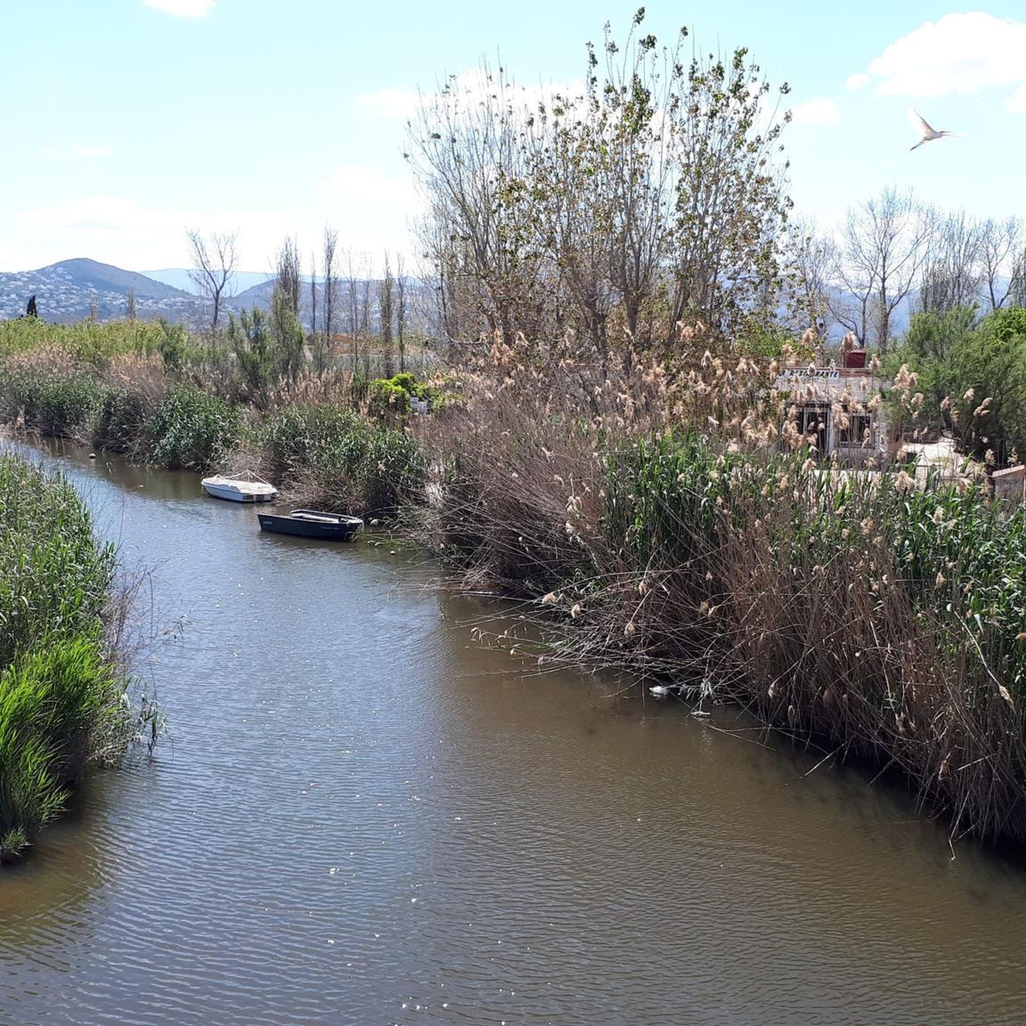
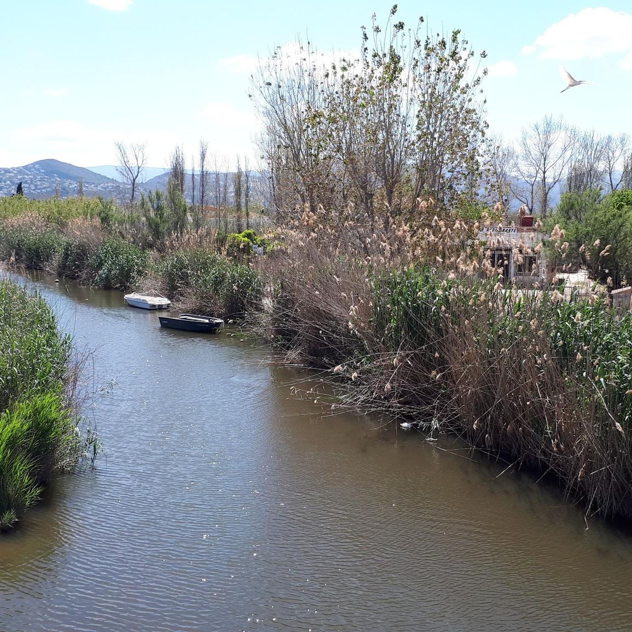
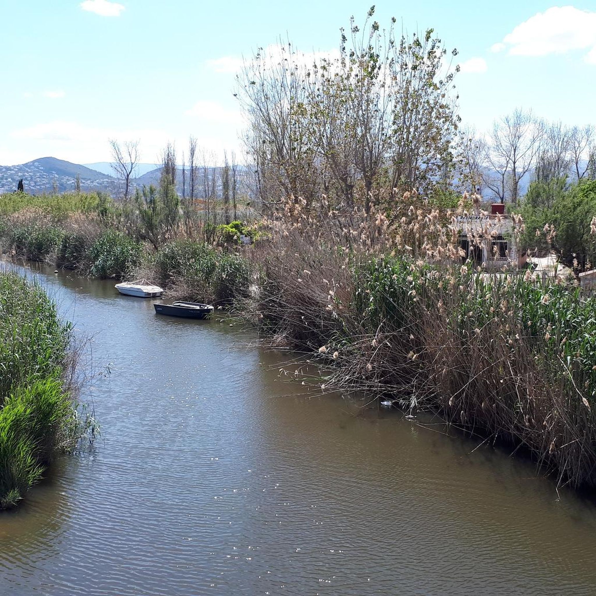
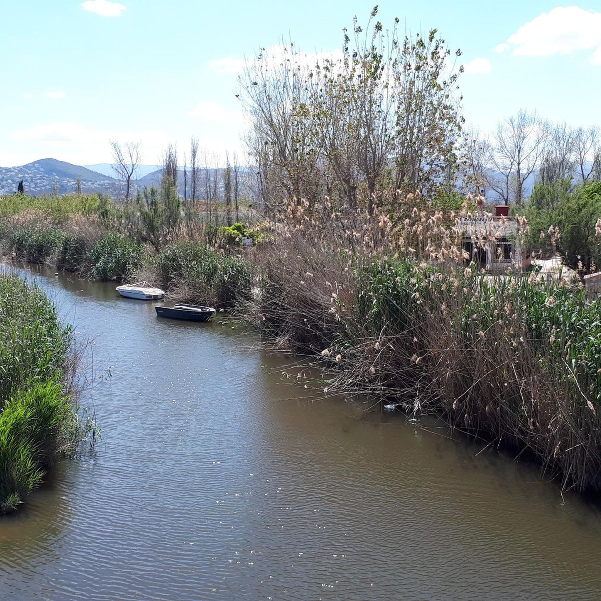
From the bridge you have a beautiful view of the estuary, where the river meanders through reeds and dunes before flowing into the sea.
1
0

There's shade there. There isn't really a parking lot, but there's room for maybe three cars. There are some spots where the asphalt is a bit unsightly.
0
0
At the mouth of the Río Molinell, which forms the border between Dénia and Oliva, a small bridge spans the river. It connects the coastal paths of both towns and provides cyclists and walkers with a convenient crossing away from the main roads. From here, a wide view opens up of the estuary, where the river winds its way through reed beds and dunes to the sea. The confluence of fresh and salt water is particularly impressive, creating a diverse landscape with a rich birdlife. For cyclists, the bridge provides a convenient crossing point for continuing their tour between Dénia and Oliva or for taking a short break.
2
0

La Font Salada is a hot spring in the Pego-Oliva Marsh Natural Park, in Oliva (Valencia). Its waters maintain a constant temperature of between 21 and 24°C, allowing for year-round bathing. They are said to have beneficial properties for the skin. It is a popular place for bathing and enjoying nature, with a restaurant in the area and free admission.
1
1

Take into account that the roads are sometimes under water, 5cm, 10cm to unexpected depths of 50cm. Also pay attention to the part with the cows and horses, more strade stronti than strade bianchi
1
1
Frequently Asked Questions
How many hiking trails are available in Desembocadura Del Riu Racons?
There are over 250 hiking trails in Desembocadura Del Riu Racons, catering to various skill levels. You'll find a wide selection of routes, from easy strolls through the wetlands to more challenging excursions.
What kind of terrain can I expect on hikes in Desembocadura Del Riu Racons?
The terrain in Desembocadura Del Riu Racons is predominantly flat, characterized by coastal wetlands, river paths, and dune systems. It's an accessible area, ideal for relaxing walks, though some routes may include slight elevation changes, particularly those venturing towards the Serra de Segària.
Are there any family-friendly hiking routes in Desembocadura Del Riu Racons?
Yes, the generally flat terrain makes many routes suitable for families. An excellent option is the easy Mouth of the Molinell River – Mouth of the Molinell River loop from Desembocadura del Riu Racons, which is 7.1 km long and offers pleasant views of the river mouth and coastal features.
Can I bring my dog on the hiking trails in Desembocadura Del Riu Racons?
While specific leash rules can vary, many trails in natural park areas generally permit dogs on a leash. The flat and open nature of the wetland paths makes them suitable for walks with your canine companion. Always ensure to check local regulations and respect wildlife.
What are the best times of year to go hiking in Desembocadura Del Riu Racons?
The Desembocadura Del Riu Racons area is pleasant for hiking for much of the year. Spring and autumn offer mild temperatures, making them ideal. Summer can be warm, but coastal breezes can provide relief, especially for early morning or late afternoon walks. Winter is also generally mild, offering a peaceful experience.
Are there any circular hiking routes in the area?
Yes, there are several circular routes available. For a moderate challenge, consider The Parc Natural de la Marjal Pego-Oliva — circular route from L'Almúnia, which is 16 km long and explores the diverse landscapes of the natural park.
What interesting landmarks or natural features can I see while hiking?
The area is rich in natural beauty. You can explore the unique coastal wetland environment, the distinctive coastal dune complex, and the winding Racons River. Notable highlights include the Mouth of the Molinell River and the point where the River Flowing Into the Sea. There's also a bird observatory within the Marjal de Pego-Oliva Natural Park for wildlife enthusiasts.
Are there any challenging hikes for experienced hikers?
While much of the area is flat, there are routes that offer more challenge. For instance, The Salty Spring – Font Salada loop from Desembocadura del Riu Racons is a difficult 25.6 km route, providing a longer and more demanding experience.
What do other hikers enjoy most about Desembocadura Del Riu Racons?
The area is highly rated by the komoot community, with an average score of 4.3 stars from over 1300 reviews. Hikers often praise the unique coastal wetland environment, the peaceful river paths, and the opportunity to observe diverse flora and fauna.
Is there parking available near the trailheads?
Yes, parking is generally available in areas close to popular access points, especially near Les Devesses beach and other starting points for routes within the Marjal de Pego-Oliva Natural Park. It's advisable to check specific trailhead information for the most convenient parking options.
Are there any viewpoints with scenic vistas?
While the immediate river mouth area is flat, routes that venture slightly inland or towards higher ground offer scenic views. The Stone Picnic Area – View from the Serra de Segària loop from Falda de la Lloma de Racons provides views towards the Serra de Segària, offering a different perspective of the region.
Can I reach the hiking areas by public transport?
Public transport options to the immediate Desembocadura Del Riu Racons area might be limited. It is often more convenient to reach the region by car, especially for accessing various trailheads within the natural park. However, local bus services may connect nearby towns like Oliva or Pego, from which you might need to arrange further transport.
Most popular routes in Desembocadura Del Riu Racons
Most popular attractions in Desembocadura Del Riu Racons

Get inspired with the komoot mobile app


Explore more
Browse the best Hikes in other regions.
