The best running trails in Serra Perenxisa
4.2
(31)
1,353
runners
70
runs
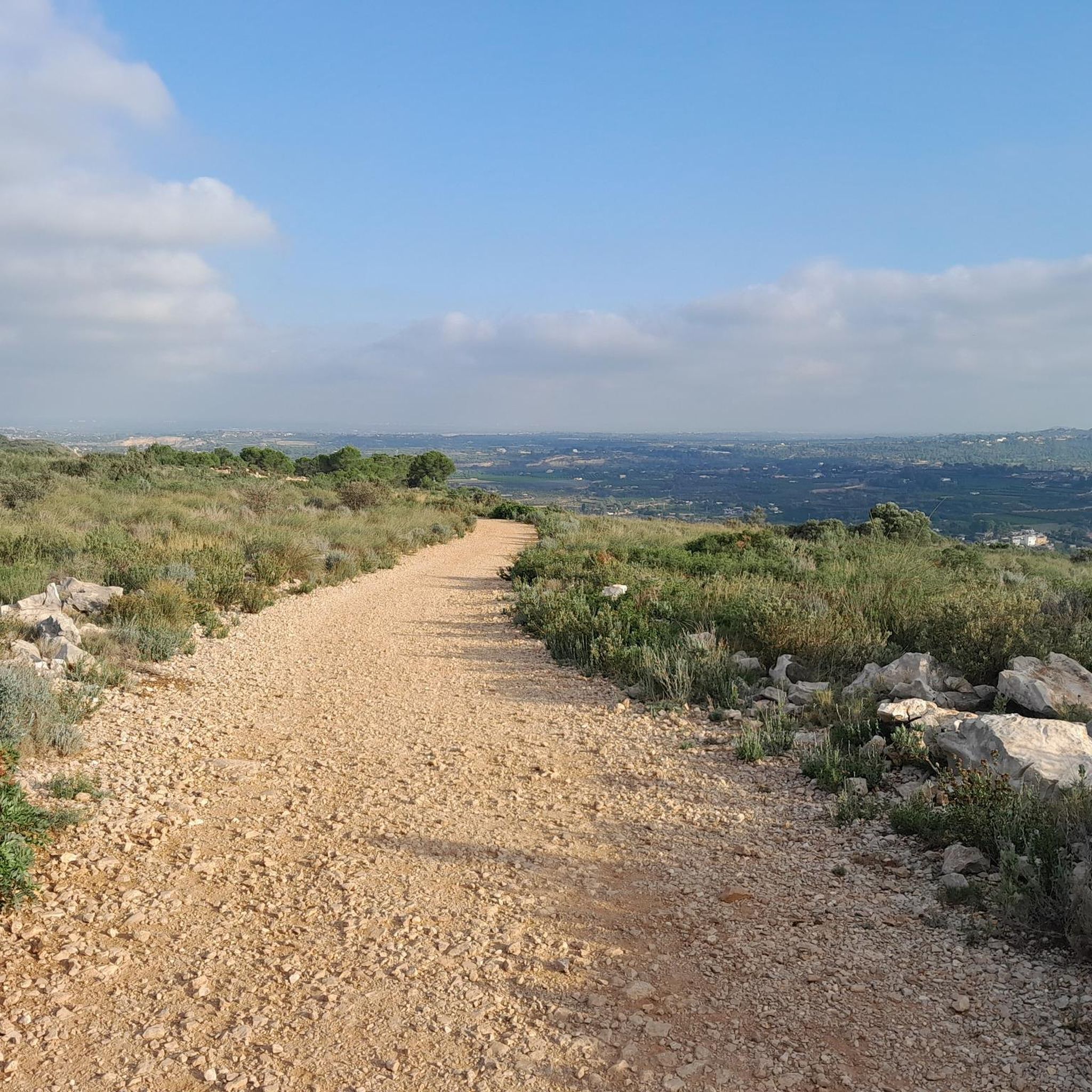
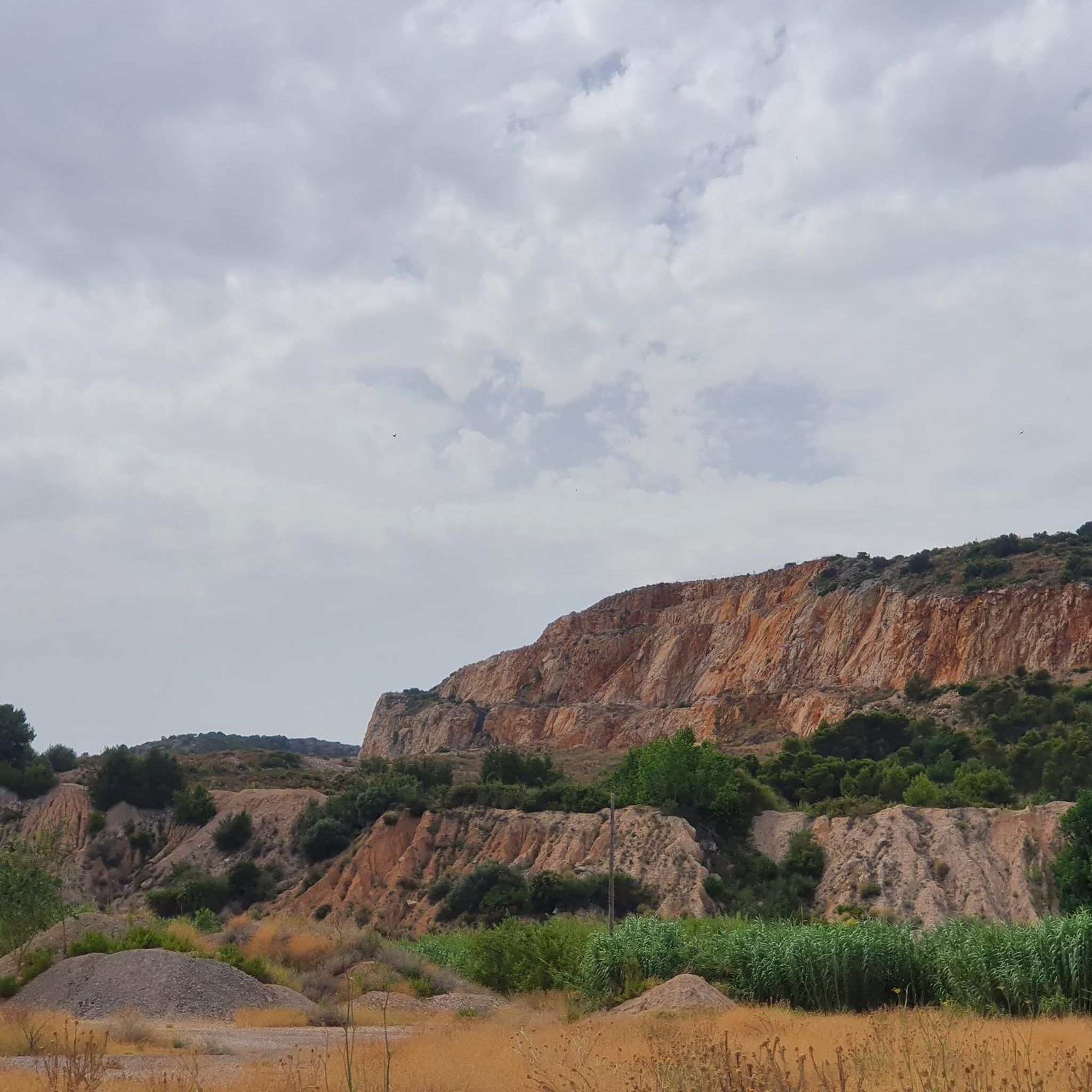
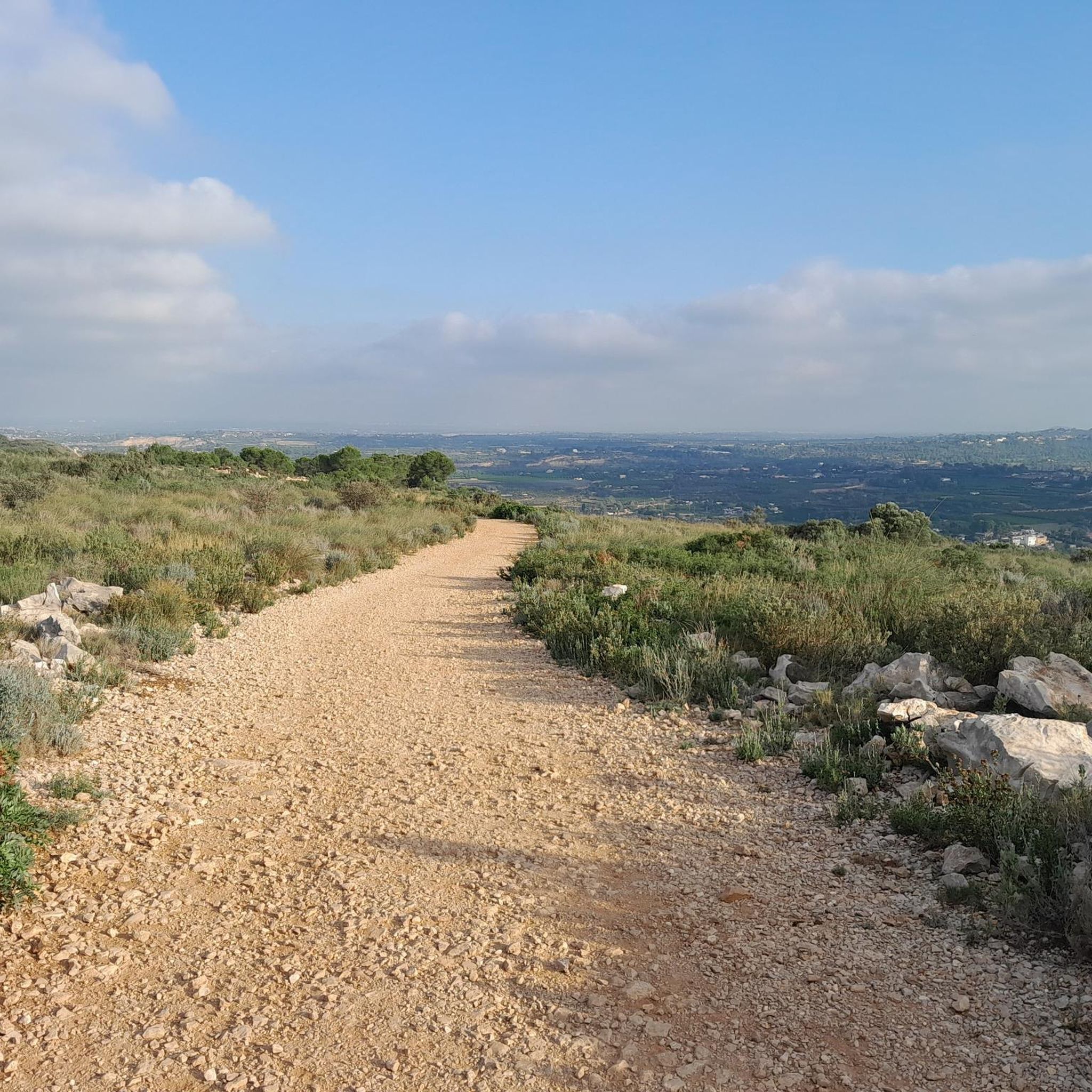
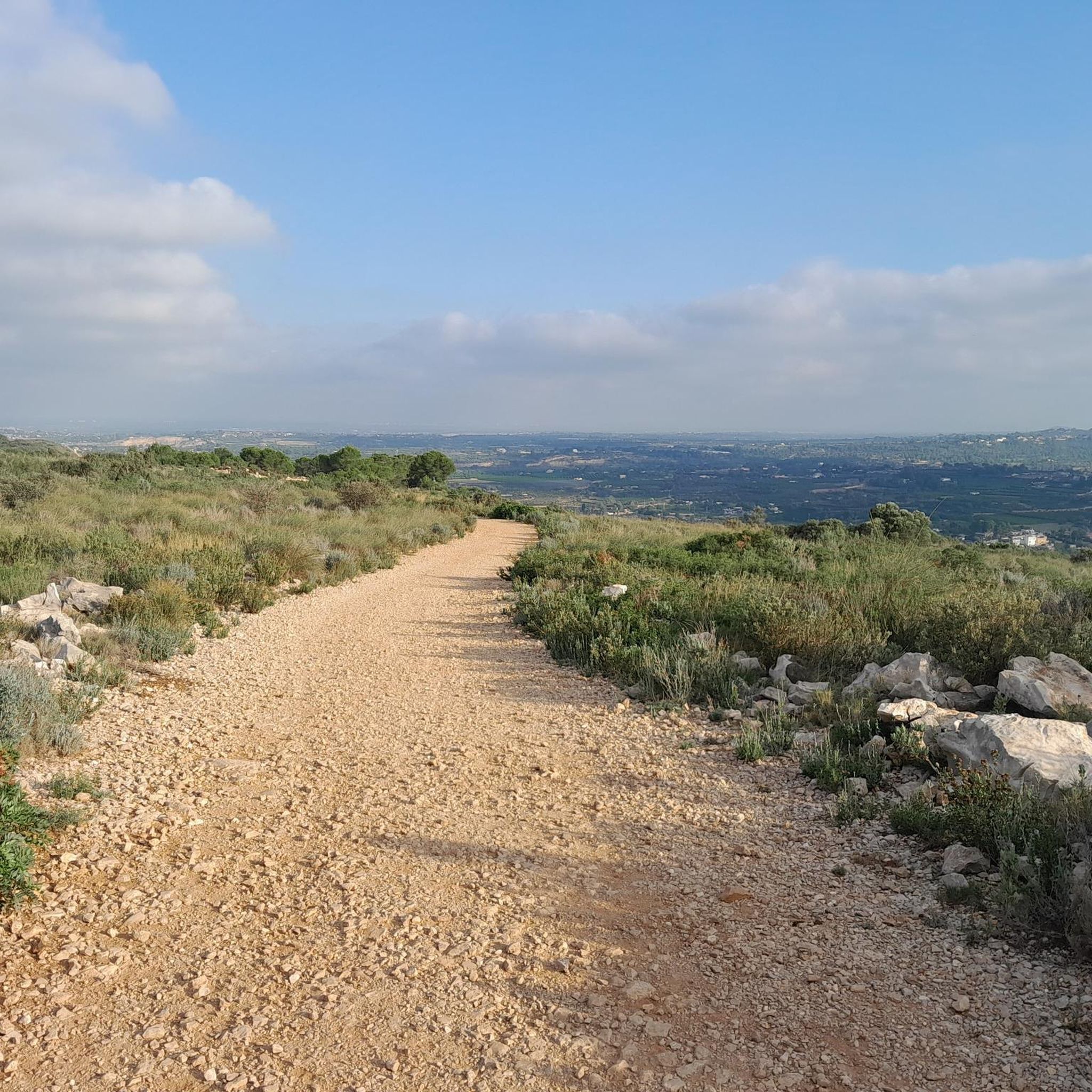
Jogging routes in Serra Perenxisa traverse a landscape characterized by low-lying, rounded hills and an intricate network of ravines. This Natural Municipal Park, located near Valencia, offers a diverse Mediterranean scrubland environment with pine forests, holm oaks, carob trees, and olive trees. The region's maximum altitude of 329 meters provides varied inclines and panoramic views, making it suitable for different levels of running.
Best jogging routes in Serra Perenxisa
- The most popular jogging route is Running loop from Paratge Natural Municipal Serra Perenxisa, a 6.1 miles (9.8 km) trail that takes 1 hour 15 minutes to complete. This route offers varied terrain and elevation changes.
- Another top favourite among local runners is Ascent to the Serra Perenxisa loop from Paratge Natural Municipal Serra Perenxisa, a moderate 6.0 miles (9.7 km) path. This route features hilly relief and views over the Mediterranean vegetation.
- Local runners also love the Stone Shelter and Valley View loop from Masía de Zapatero, a 11.5 miles (18.5 km) trail leading through diverse landscapes, often completed in about 2 hours 8 minutes.
- Jogging in Serra Perenxisa is defined by low-lying hills, Mediterranean scrubland, and pine forests. The network offers options for different ability levels, from easy paths to more challenging routes.
- The routes in Serra Perenxisa are highly rated by the komoot community with an average score of 4.2 stars from more than 20 reviews. More than 1,300 runners have used komoot to explore Serra Perenxisa's varied terrain.
Last updated: July 5, 2026
5.0
(1)
147
runners
9.77km
01:16
320m
320m
Hard run. Very good fitness required. Mostly paved surfaces. Suitable for all skill levels.
5.0
(1)
8
runners
Moderate run. Good fitness required. Mostly paved surfaces. Suitable for all skill levels.

Sign up for free
43
runners
18.5km
02:08
380m
380m
Hard run. Very good fitness required. Mostly paved surfaces. Suitable for all skill levels.
7
runners
5.77km
00:36
40m
40m
Moderate run. Good fitness required. Mostly paved surfaces. Suitable for all skill levels.
4
runners
6.30km
00:40
70m
70m
Moderate run. Good fitness required. Mostly paved surfaces. Suitable for all skill levels.
Get access to more routes and recommendations from other explorers.
Sign up for free
Already have an account?
Our route recommendations are based on thousands of hikes, rides, and runs completed by other people on komoot.
Start today with a free account
Your next adventure awaits.
Login or Signup

Tips from the Community

Very good views from above.
1
0

The antennas of the Cumbre de Calicanto in the Serra Perenxisa offer wonderful views of the city of Valencia, the Levante coast and the Hoya de Buñol. There are several alternatives to get there, either by paved road or a gravel track with greater difficulty. Either way you will have a nice reward when you get up there!
4
0
Panoramic point of the Serra Perenxisa where you can enjoy very nice views towards Valencia and the Albufera, getting to see the sea on a day with good visibility.
4
0

Very good views, both towards the Hoya de Buñol, as well as towards the Albufera and the sea.
2
0

the beginning of the climb when we leave the chalets in 100% recommended is spectacular.
0
0
Ascent to Sierra Perrexina, with a lot of unevenness, ideal for training.
0
0
5 slopes with their breaks that if you don't take them seriously will make you rethink your life 😛
1
0

There are two possibilities to reach the antennas. One is going up the road of the Calicanto urbanization and the other is by a track that connects in the lower part of the urbanization. You must bring a suitable bicycle along the track and keep in mind that there are sections with loose stone.
3
1
Frequently Asked Questions
How many running routes are available in Serra Perenxisa?
Serra Perenxisa offers a wide selection of over 70 running routes. You'll find options for all fitness levels, including 4 easy routes, 59 moderate trails, and 11 more challenging paths for experienced runners.
Are there any easy or beginner-friendly jogging routes in Serra Perenxisa?
Yes, Serra Perenxisa has 4 easy running routes perfect for beginners or those looking for a relaxed jog. These paths typically feature less elevation gain and smoother terrain. One such route is the Running loop from Corral de Xupeno, which is just under 6 km with minimal elevation changes.
What kind of terrain can I expect on the running trails in Serra Perenxisa?
The terrain in Serra Perenxisa is quite varied, characterized by low-lying, rounded hills and an intricate network of ravines. You'll encounter a mix of paved, unpaved, natural, and gravel paths, winding through Mediterranean scrubland, pine forests, holm oaks, carob trees, and olive trees. This diversity provides a dynamic and engaging experience for runners.
Are there any circular running routes in Serra Perenxisa?
Yes, many of the running routes in Serra Perenxisa are circular, allowing you to start and finish at the same point. A popular option is the Running loop from Paratge Natural Municipal Serra Perenxisa, which is a 9.8 km trail offering varied terrain and elevation changes.
Can I bring my dog on the running trails in Serra Perenxisa?
Serra Perenxisa is generally dog-friendly, making it a great place to run with your canine companion. However, it's always recommended to keep your dog on a leash, especially in areas with wildlife or near other visitors, to ensure a safe and enjoyable experience for everyone.
What are the best times of year to go jogging in Serra Perenxisa?
The best times for jogging in Serra Perenxisa are typically spring and autumn when the temperatures are milder and the Mediterranean vegetation is at its most vibrant. Summers can be hot, so if you run during this season, it's advisable to go early in the morning or late in the afternoon to avoid the midday heat. Winters are generally mild, offering pleasant conditions for running.
Are there any scenic viewpoints or landmarks along the running routes?
Absolutely! Serra Perenxisa is known for its spectacular panoramic views. From summits like Alto del Peral and Cim de Perenxisa (also known as Calicanto Antennas), you can enjoy expansive vistas of the city of Valencia, the Valencian coastline, and the significant wetlands of L'Albufera. These viewpoints provide excellent motivation and scenic rewards during your run.
Is there parking available near the running trailheads?
Yes, there are various access points and parking options available around Serra Perenxisa, particularly near the Natural Municipal Park and starting points for popular routes. It's advisable to check specific route details on komoot for the most convenient parking locations for your chosen trail.
What do other runners enjoy most about jogging in Serra Perenxisa?
The running trails in Serra Perenxisa are highly rated by the komoot community, with an average score of 4.2 stars from over 20 reviews. Runners often praise the diverse landscapes, the mix of challenging and easy paths, and the stunning panoramic views, especially those overlooking Valencia and the coastline. The natural beauty and varied terrain are frequently highlighted as key attractions.
Are there any routes with significant elevation gain for a more challenging run?
Yes, if you're looking for a more challenging run with significant elevation gain, Serra Perenxisa has several options. The region's maximum altitude of 329 meters ensures varied inclines. For instance, the Stone Shelter and Valley View loop from Masía de Zapatero is an 18.5 km trail with over 370 meters of ascent, offering a demanding workout through diverse landscapes.
Can I reach Serra Perenxisa by public transport for jogging?
Serra Perenxisa is located between the municipalities of Torrent, Xiva, and Godelleta, which are accessible by public transport from the wider Valencia metropolitan area. While direct access to all trailheads might require some planning, you can typically reach the vicinity of the Natural Municipal Park via public transport, and then proceed to your desired starting point.
Most popular routes in Serra Perenxisa

Get inspired with the komoot mobile app


Explore more
Browse the best Running Trails & Routes in other regions.
