The best walks and hikes around Holziken
4.6
(1236)
9,100
hikers
730
hikes
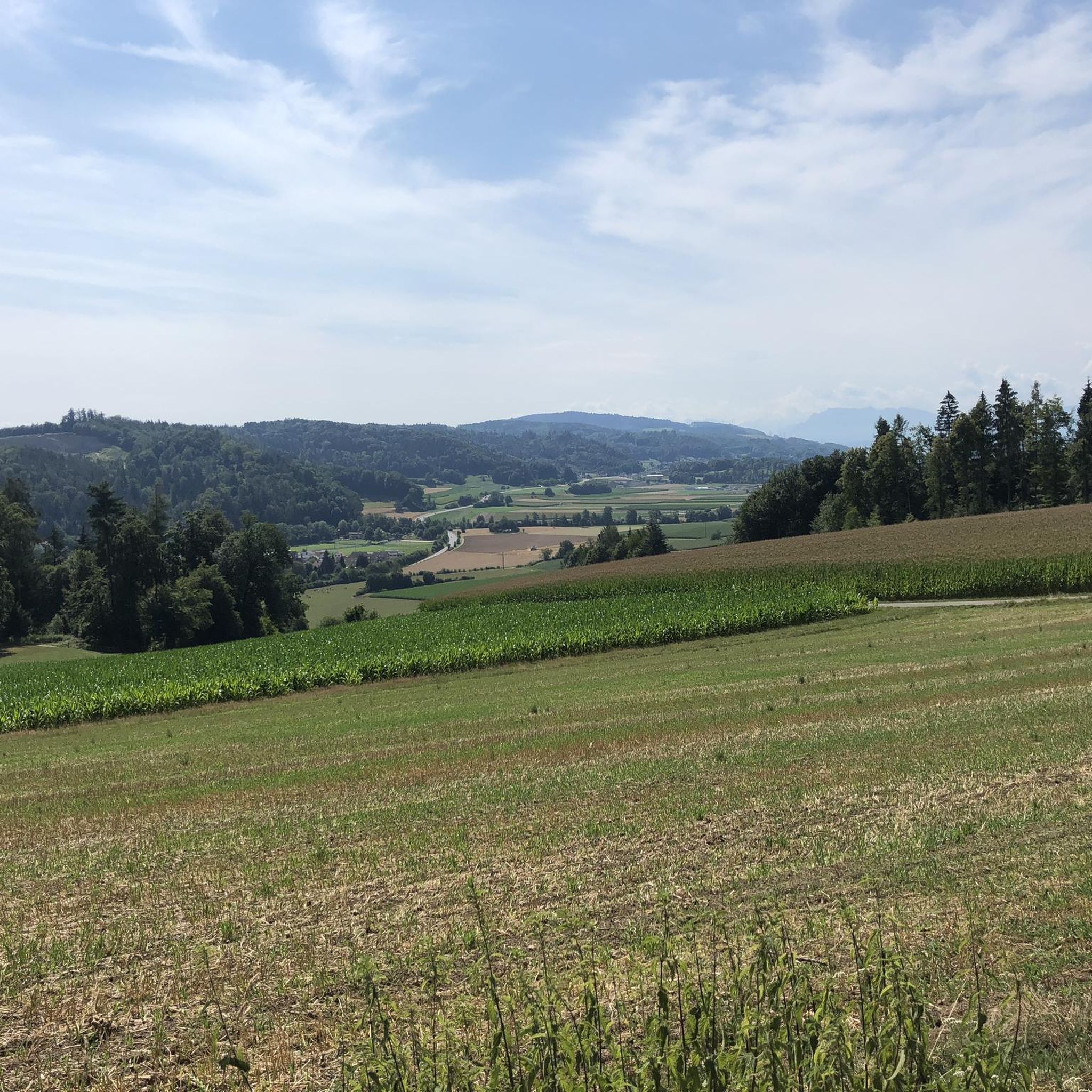
Hiking around Holziken offers diverse landscapes within the canton of Aargau, Switzerland. The region features varied topography, including the prominent Stierenberg Mountain and the scenic Wynental valley. Trails often traverse natural roads and soft forest paths, providing a range of experiences from gentle walks to more challenging ascents. This area is characterized by its well-maintained trail networks and views of the distant Alps and Jura mountain range.
Best hiking trails around Holziken
- The most popular hiking route is Rest Stop Zum Wandersmann loop from Kölliken, a 2.1 miles (3.5 km) trail that takes 1 hour 2 minutes to complete, offering an accessible path through the local landscape.
- Another top favourite among local hikers is View from Stübisberg – Hügeliloch Cave loop from Schöftland Nordweg, an easy 3.9 miles (6.3 km) path featuring views from Stübisberg.
- Local hikers also love the Böhler Pass – View of Schöftland loop from Hirschthal, a 5.1 miles (8.2 km) trail leading through the Böhler Pass, often completed in about 2 hours 21 minutes.
- Hiking around Holziken is defined by its varied topography, including the Stierenberg Mountain, the Wynental valley, and extensive forest paths. The network offers options for different ability levels, from easy strolls to moderate climbs.
- The routes in Holziken are highly rated by the komoot community with an average score of 4.6 stars from over 1,100 reviews. More than 9,000 hikers have used komoot to explore Holziken's varied terrain.
Last updated: June 27, 2026
4.4
(8)
33
hikers
3.47km
01:02
110m
110m
Easy hike. Great for any fitness level. Easily-accessible paths. Suitable for all skill levels.
4.3
(3)
15
hikers
6.29km
01:47
130m
130m
Easy hike. Great for any fitness level. Easily-accessible paths. Suitable for all skill levels.

Sign up for free
4.3
(4)
23
hikers
8.16km
02:21
200m
200m
Moderate hike. Good fitness required. Easily-accessible paths. Suitable for all skill levels.
5.0
(4)
13
hikers
9.41km
02:41
220m
220m
Moderate hike. Good fitness required. Easily-accessible paths. Suitable for all skill levels.
5.0
(2)
14
hikers
8.75km
02:30
210m
210m
Moderate hike. Good fitness required. Easily-accessible paths. Suitable for all skill levels.
Get access to more routes and recommendations from other explorers.
Sign up for free
Already have an account?
Our route recommendations are based on thousands of hikes, rides, and runs completed by other people on komoot.
Start today with a free account
Your next adventure awaits.
Login or Signup
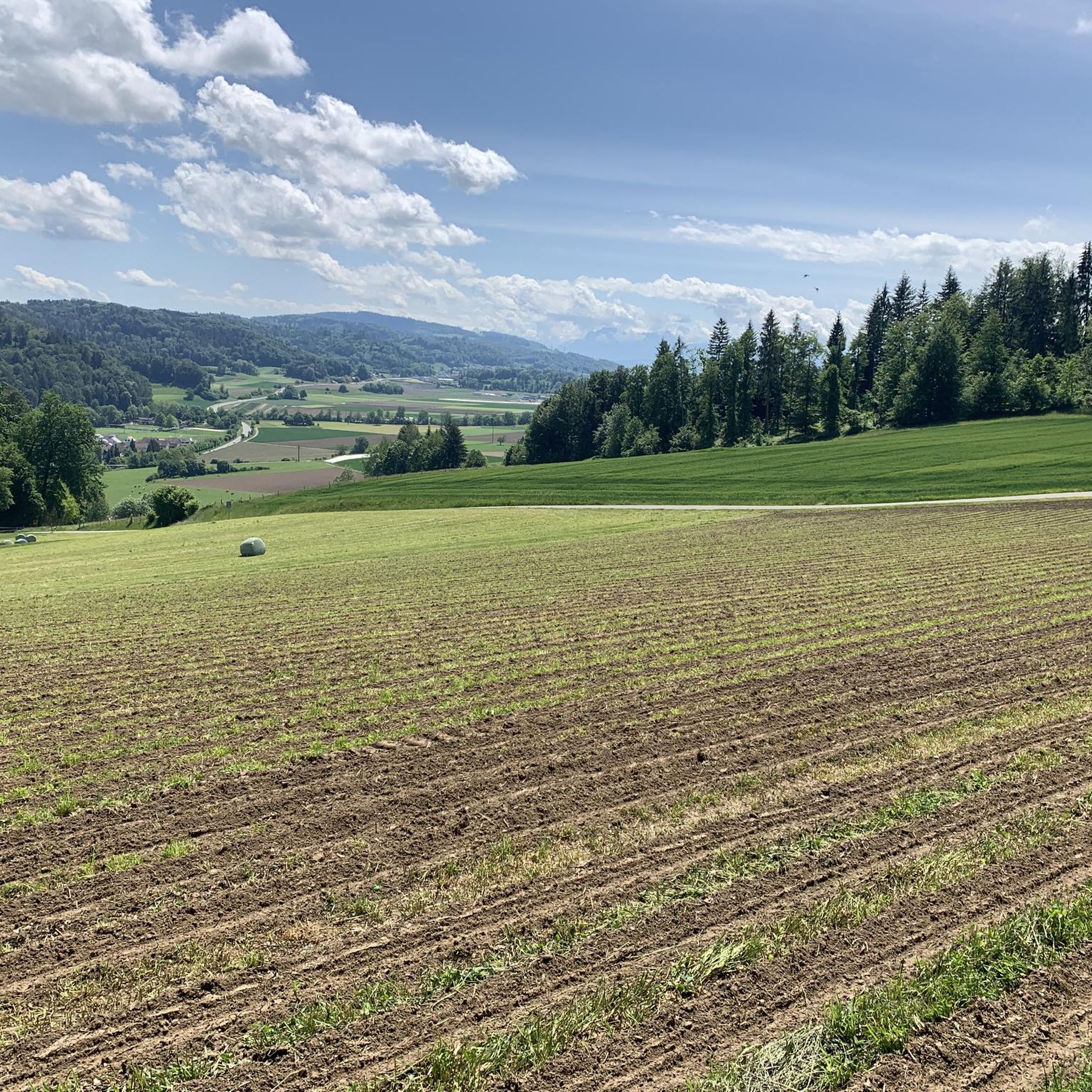
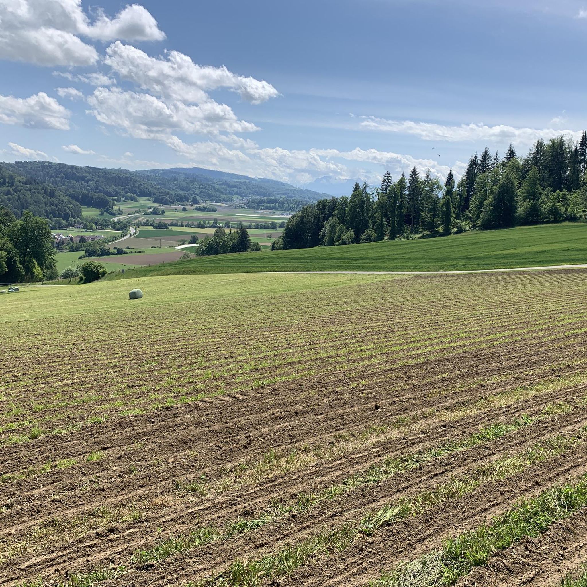
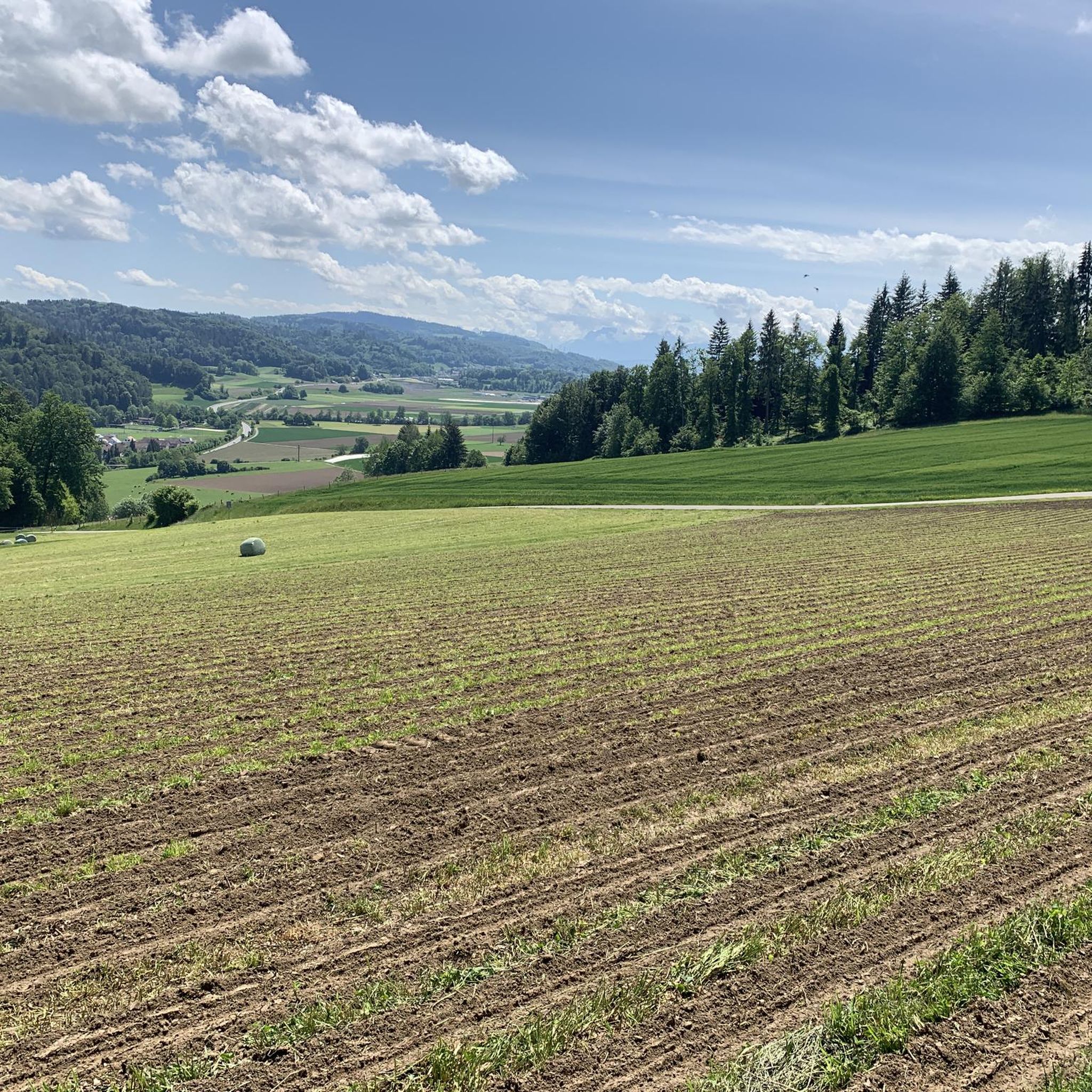
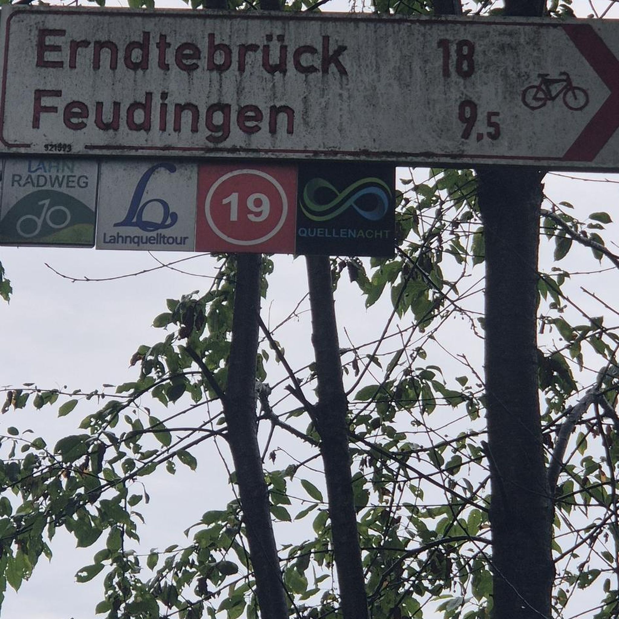
Tips from the Community

On Herzroute 599, view of the pass and surroundings 🤩
0
0

Now part of the Collection https://www.komoot.com/de-de/collection/3600632/-naturdenkmaeler-besondere-baeume-und-weitere-schaetze-der-natur
2
0

The fir tree is no longer standing.
1
0

Very great trail, suitable for wet and rainy conditions.
2
0

Beautiful large rest area at the edge of the forest
1
0

Old quarry, but has something really mystical about it and gives a perfect echo ;-)
0
0

Challenging, some strong jumps, curves, nice trail but not for beginners
2
0

Start of a challenging but poorly maintained single trail
2
0
Frequently Asked Questions
How many hiking trails are available around Holziken?
There are over 750 hiking routes available around Holziken, catering to various skill levels. You'll find a wide selection from easy strolls to more challenging ascents.
What types of terrain can I expect on hikes near Holziken?
The region around Holziken offers diverse terrain, including natural roads and soft forest paths, particularly in the scenic Wynental valley. You can also expect varied topography with ascents towards prominent features like the Stierenberg Mountain.
Are there any family-friendly hiking trails in Holziken?
Yes, Holziken offers many easy trails suitable for families. For example, the Rest Stop Zum Wandersmann loop from Kölliken is an easy 3.5 km route, perfect for a family outing.
What are some notable natural features or viewpoints to see while hiking?
Hikers can enjoy impressive panoramic views from the Stierenberg Mountain, which is the highest peak in Aargau. Another popular spot is the View from Stübisberg, which is part of a loop trail from Schöftland Nordweg. You might also encounter hand-carved sculptures along forest paths in the Wynental valley.
Are there any circular hiking routes available?
Yes, many routes around Holziken are circular. Examples include the Rest Stop Zum Wandersmann loop from Kölliken and the View from Stübisberg – Hügeliloch Cave loop from Schöftland Nordweg, allowing you to start and end at the same point.
What is the best time of year to go hiking in Holziken?
Holziken is enjoyable for hiking throughout much of the year due to its well-maintained trail networks. Spring and autumn offer pleasant temperatures and beautiful scenery, while summer provides longer daylight hours. Winter hikes are also possible, though conditions may vary.
Are there any places to explore or attractions near the hiking trails?
Yes, there are several interesting spots nearby. You can visit the Old Wooden Bridge in Olten, or enjoy the View of Aarburg Castle and Church. The Aarau Old Town is also within reach for cultural exploration.
What is the difficulty level of hikes around Holziken?
Holziken offers a range of difficulties. You'll find 440 easy routes, 291 moderate routes, and 27 more challenging trails. This variety ensures options for all fitness levels, from gentle walks to moderate climbs.
Are there any huts or picnic spots along the trails?
Yes, you can find several facilities for rest and refreshment. The Zehnderhüsli Picnic Shelter and the Häxe-Brünneli Forest Hut & Barbecue Area are examples of places where you can take a break.
What do other hikers say about the trails in Holziken?
The routes in Holziken are highly rated by the komoot community, with an average score of 4.6 stars from over 1,100 reviews. Hikers often praise the diverse landscapes, well-maintained paths, and the stunning views of the Alps and Jura mountain range.
Can I find longer, more challenging hikes in the area?
For those seeking longer and more challenging routes, consider trails that ascend towards the Stierenberg Mountain. An example of a moderate route is the Egg – Wettertanne loop from Hirschthal, which covers over 9 km with significant elevation gain.
Most popular attractions around Holziken

Get inspired with the komoot mobile app


Explore more
Browse the best Hikes in other regions.
