The best walks and hikes in Columbia National Wildlife Area
4.5
(63)
449
hikers
15
hikes
Hiking in Columbia National Wildlife Area offers diverse landscapes within British Columbia's Rocky Mountain Trench. The region is characterized by extensive wetlands and lowland coniferous forests, forming a crucial part of the larger Columbia Wetlands system. It is nestled between the Rocky Mountains to the east and the Purcell and Selkirk Mountains to the west, providing a varied backdrop for outdoor activities. This area supports a rich biodiversity, including various bird species and mammals.
Best hiking trails in Columbia National…
Last updated: September 27, 2026
4.0
(1)
13
hikers
17.6km
04:53
310m
310m
Moderate hike. Good fitness required. Easily-accessible paths. Suitable for all skill levels.
4
hikers
3.62km
00:57
30m
30m
Easy hike. Great for any fitness level. Easily-accessible paths. Suitable for all skill levels.

4.5
(11)
103
hikers
13.1km
03:56
400m
400m
Moderate hike. Good fitness required. Easily-accessible paths. Suitable for all skill levels.
5.0
(3)
29
hikers
9.77km
02:41
160m
160m
Moderate hike. Good fitness required. Easily-accessible paths. Suitable for all skill levels.
5.0
(1)
12
hikers
1.09km
00:19
20m
20m
Easy hike. Great for any fitness level. Easily-accessible paths. Suitable for all skill levels.
Get access to more routes and recommendations from other explorers.
Already have an account?
Our route recommendations are based on thousands of hikes, rides, and runs completed by other people on komoot.
Start today with a free account
Your next adventure awaits.
Popular around Columbia National Wildlife Area
Tips from the Community

This view of Sinclair Canyon is an elevated viewpoint on a rocky outcrop. There are views over Banff-Windermere Highway below and Redstreak Mountain in this background.
0
0
Emerge from the lush forest to the picturesque overlook of Sinclair Canyon, where you can enjoy the tumbling waterfall from a stone viewing platform. The viewing area is quite open, but do not cross over the short stone pillars.
0
0
Juniper Trail is a quick hike that brings visitors to an overlook of Sinclair Falls and Sinclair Canyon. The trail is well maintained and easy to follow with an incline on the way to the falls. Stay on the trail at all times.
0
0

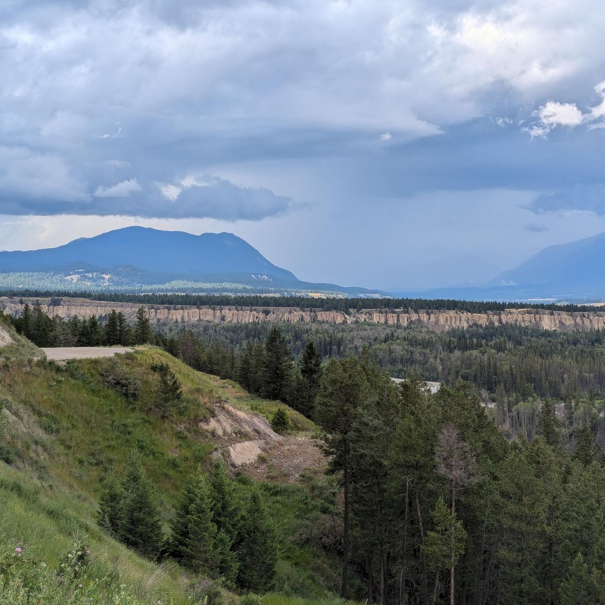
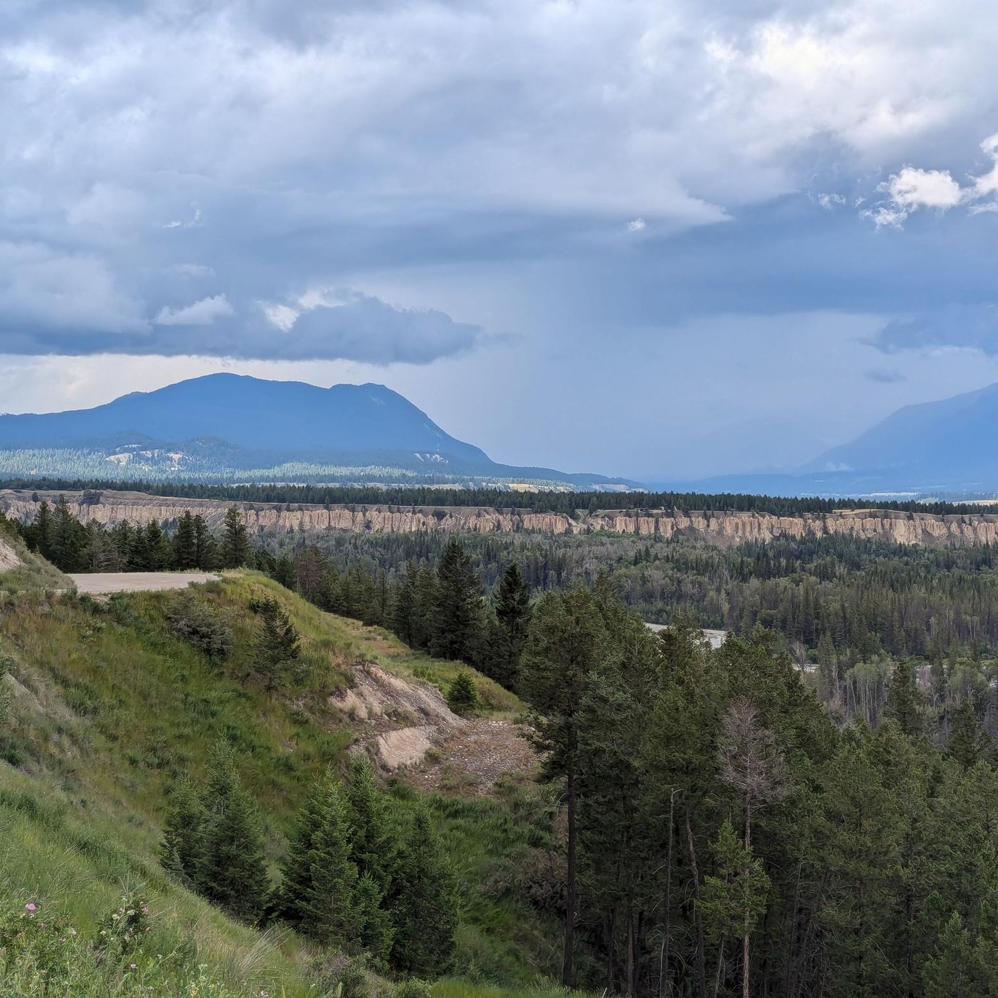
This multi-use trail traces the ledges overlooking the Columbia River Valley. You'll have great views along the way but keep an eye out for mountain bikers as well, especially around blind corners.
0
0
This wide, well maintained trail is a great hike just outside of Radium Hot Springs. There are many great viewpoints along the way and you can hike it as an out and back or connect with other nearby trails for a nice loop. It is a multi-use trail so keep an eye out for bikes.
0
0
On a trail with many great viewpoints, this is one of the best. If the weather is clear you'll have a wide open look across the river and valley to the mountains on the other side.
0
0

wonderful place of silence, here (almost) everything seems to be absorbed by the plant world
1
0

Even on hot summer days it is pleasantly cool here.
2
1
Frequently Asked Questions
What types of hiking trails can I find in the Columbia National Wildlife Area?
The Columbia National Wildlife Area offers a variety of hiking trails, ranging from easy loops suitable for shorter outings to moderate routes with more significant elevation changes. You'll find paths through extensive wetlands, lowland coniferous forests, and trails offering views of the surrounding Rocky, Purcell, and Selkirk Mountains. There are over a dozen routes available, with 8 classified as easy and 5 as moderate.
Are there any easy, family-friendly hikes in the area?
Yes, the Columbia National Wildlife Area has several easy trails perfect for families or those seeking a relaxed walk. An excellent option is the Kinsmen Beach loop from James Chabot Provincial Park, an easy 3.6 km path providing access to lakeside scenery. Another easy route is the View of Toby Creek Canyon loop from Lillian Lake, which is 4.8 km long.
What are the best trails for wildlife spotting?
The Columbia National Wildlife Area is renowned for its rich biodiversity, especially in its extensive wetlands. The Wilmer Wetlands Trail, a 3.7-kilometer circuit, is particularly popular for wildlife viewing, offering opportunities to spot a wide variety of waterfowl and migratory birds. Binoculars are highly recommended. You might also encounter mammals like wolves, coyotes, beavers, and various bird species such as bald eagles and great blue herons throughout the area's diverse habitats.
Are there any loop trails in the Columbia National Wildlife Area?
Yes, many of the trails in the Columbia National Wildlife Area are loops, offering varied scenery without retracing your steps. Popular loop options include the moderate Deja View Trail and Old Coach Road loop — Radium Hot Springs (17.6 km) and the View of Toby Creek Canyon loop from Invermere (9.8 km).
What do other hikers say about the trails in Columbia National Wildlife Area?
The trails in the Columbia National Wildlife Area are highly rated by the komoot community, with an average score of 4.4 stars from over 55 reviews. Hikers often praise the diverse landscapes, the stunning mountain backdrops, and the opportunities for wildlife viewing, particularly in the wetland areas. Many appreciate the variety of routes available for different ability levels.
Is there parking available at the trailheads?
While specific parking details for every trailhead are not provided, designated parking areas are generally available at popular access points within the Columbia National Wildlife Area, such as near James Chabot Provincial Park for the Kinsmen Beach loop, or in towns like Radium Hot Springs for routes like the Deja View Trail. It's advisable to check specific route details for precise parking information.
Are permits required for hiking in the Columbia National Wildlife Area?
Authorized activities within the Columbia National Wildlife Area primarily include hiking on designated trails and wildlife viewing. Generally, permits are not required for these activities, allowing visitors to immerse themselves in nature while contributing to conservation. However, it's always good practice to check the official Parks Canada website or local information for any specific regulations or temporary closures before your visit.
What is the best time of year to hike in the Columbia National Wildlife Area?
The Columbia National Wildlife Area offers unique experiences throughout the year. Spring and fall are excellent for birdwatching, especially during migratory seasons. Summer provides warmer weather for exploring, while winter can offer serene snowshoeing opportunities, though conditions may vary. Always check local weather and trail conditions before heading out.
Are dogs allowed on the hiking trails?
While the Columbia National Wildlife Area is a protected area focused on wildlife conservation, specific regulations regarding dogs on trails can vary. It's generally recommended to keep dogs on a leash to protect wildlife and ensure a pleasant experience for all visitors. Please check local signage or the official Parks Canada website for the most current pet policies on specific trails.
What are some notable natural features or attractions to look out for?
The area is nestled between the towering Rocky Mountains to the east and the Purcell and Selkirk Mountains to the west, providing a stunning scenic backdrop. The extensive Columbia Wetlands are an internationally recognized ecological site, vital for migratory birds. You can also explore the four distinct units of the Wildlife Area: Wilmer, Spillimacheen, Brisco, and Harrogate, each contributing to the area's rich ecological diversity. The Wilmer Wetlands Trail is a popular spot for observing these natural features.
How challenging are the moderate trails in the Columbia National Wildlife Area?
The moderate trails in the Columbia National Wildlife Area typically involve more significant distances and elevation gains compared to easy routes. For example, the Deja View Trail and Old Coach Road loop is 17.6 km long with over 300 meters of elevation gain, taking nearly 5 hours to complete. These trails are suitable for hikers with a reasonable level of fitness looking for a more extended and engaging experience.

Get inspired with the komoot mobile app


Explore more
Browse the best Hikes in other regions.
