The best walks and hikes around Hoogstede
4.4
(2297)
9,133
hikers
37
hikes
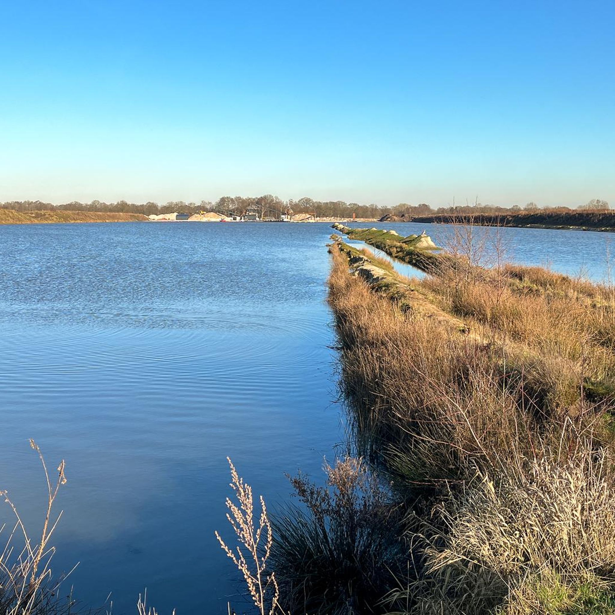
Hiking trails around Hoogstede are characterized by flat terrain, riverine landscapes, and moorland areas. The region features paths along the Vechte river and through natural moorland, often utilizing boardwalks. Elevation changes are minimal, making the area accessible for various activity levels. The landscape is primarily defined by its waterways and open, natural spaces.
Best hiking trails around Hoogstede
- The most popular hiking route is Blue Vechte Bridge Ringe – Covered Picnic Table loop from Samtgemeinde Emlichheim, a 7.2 miles…
Last updated: July 5, 2026
4.4
(17)
54
hikers
Moderate hike. Good fitness required. Easily-accessible paths. Suitable for all skill levels.
4.7
(9)
24
hikers
Moderate hike. Good fitness required. Easily-accessible paths. Suitable for all skill levels.

Sign up for free
5.0
(3)
13
hikers
4.26km
01:04
0m
0m
Easy hike. Great for any fitness level. Easily-accessible paths. Suitable for all skill levels.
4.0
(2)
10
hikers
12.9km
03:15
20m
20m
Moderate hike. Good fitness required. Easily-accessible paths. Suitable for all skill levels.
4.7
(6)
7
hikers
6.23km
01:34
0m
10m
Easy hike. Great for any fitness level. Easily-accessible paths. Suitable for all skill levels.
Get access to more routes and recommendations from other explorers.
Sign up for free
Already have an account?
Our route recommendations are based on thousands of hikes, rides, and runs completed by other people on komoot.
Start today with a free account
Your next adventure awaits.
Login or Signup
Tips from the Community

The restaurant is called "Altes Landhaus Buddenberg".
0
0

always an interesting place to linger
0
0
Around the blue bridge there are many different shelters.
0
0
Nice idea 💡 and a beautiful spot Idyllic
1
0
The half marathon route runs here
0
0
Two lanes to drive for approximately 1.5 km from the canal to Lamberg and Hahnenberger Diek
0
0
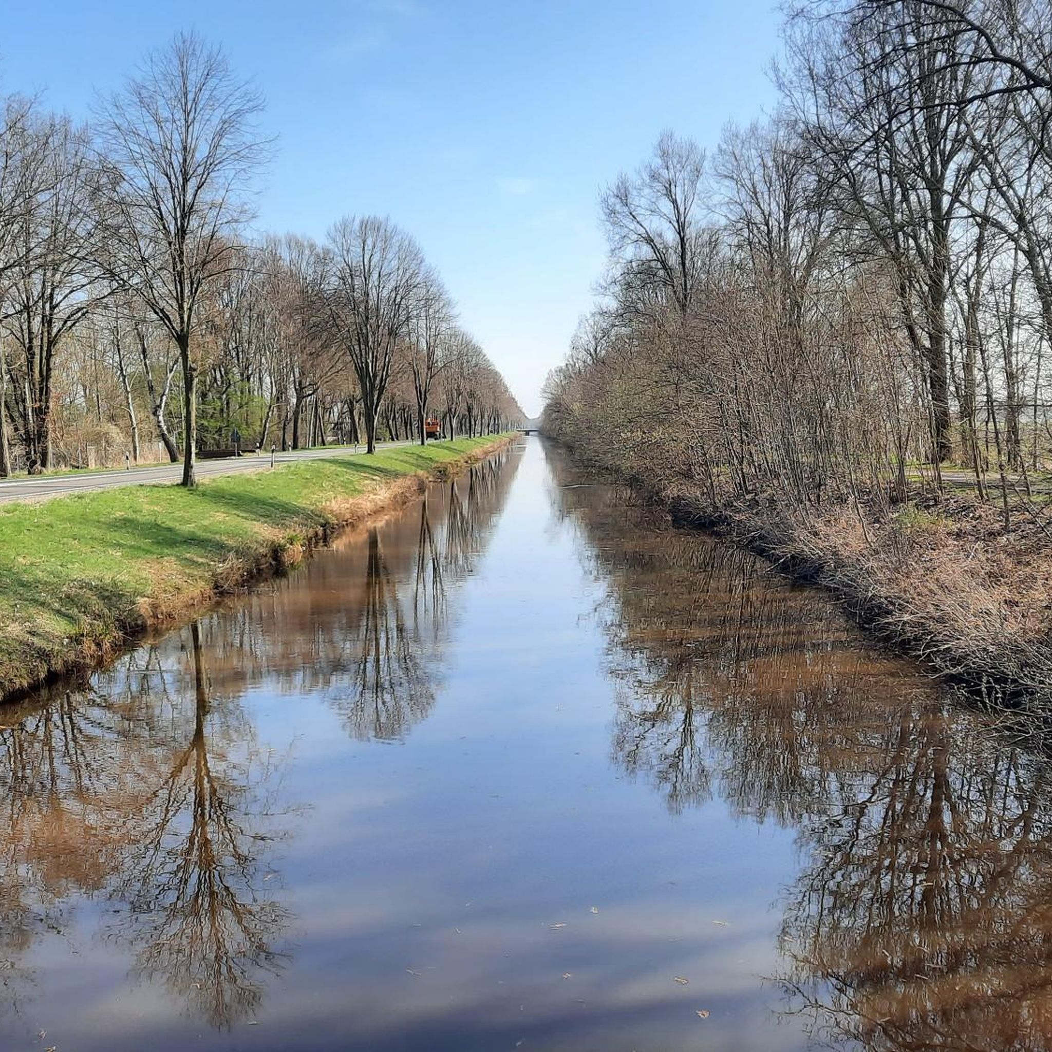
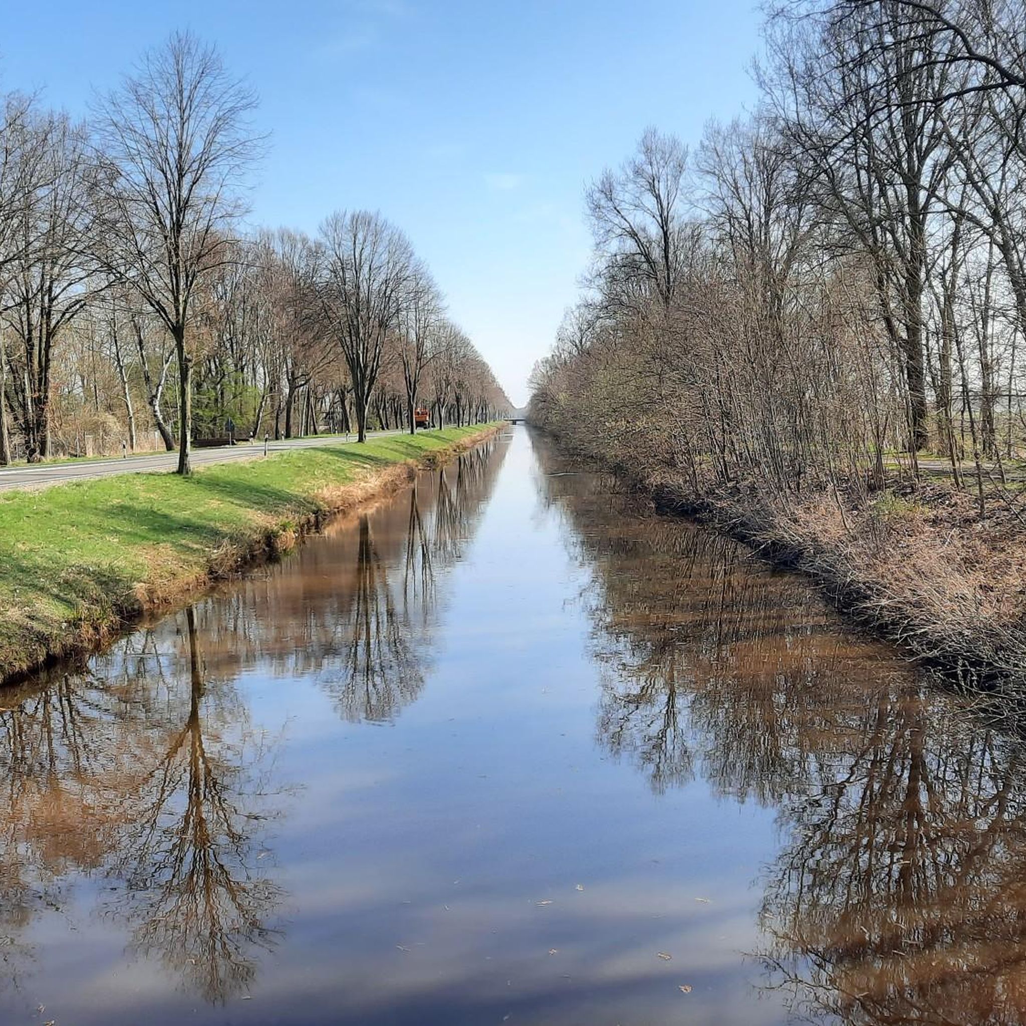
Top cycle path along the canal
0
0
Frequently Asked Questions
How many hiking trails are available in Hoogstede?
Hoogstede offers a diverse network of over 30 hiking trails. These routes cater to various preferences, with 21 classified as easy and 10 as moderate, ensuring options for different activity levels.
Are there easy hiking options suitable for beginners or families in Hoogstede?
Yes, Hoogstede is well-suited for beginners and families, with 21 easy trails. A great option is the Kunstwegen Moor Boardwalk loop from Lager Bathorn, an easy 4.3 km route that takes about an hour to complete, offering a gentle introduction to the region's unique moorland landscape.
What kind of terrain can I expect on hikes around Hoogstede?
The terrain around Hoogstede is predominantly flat, characterized by riverine landscapes along the Vechte river and extensive moorland areas. Many trails feature boardwalk sections, making passage easy over wetlands. Elevation changes are minimal, providing a relaxed hiking experience.
Are there any circular walks available in Hoogstede?
Yes, many of the trails in Hoogstede are circular walks. For example, the Blue Vechte Bridge Ringe – Covered Picnic Table loop from Samtgemeinde Emlichheim is a popular moderate 11.6 km loop that follows the Vechte river, offering scenic views.
What are some interesting sights or landmarks to see while hiking in Hoogstede?
While hiking, you can discover several interesting points. Consider visiting historical watermills like the Schoneveld Watermill or the Wilsum Watermill. The region also features viewpoints such as the View of Bargerveen Through the Observation Window, offering glimpses of the natural landscape.
Can I bring my dog on the hiking trails in Hoogstede?
Generally, dogs are welcome on most hiking trails in Hoogstede. Given the natural and open character of the region, it's a great place to explore with your canine companion. However, always ensure your dog is on a leash, especially in areas with wildlife or near livestock, and be mindful of local regulations.
Are there any trails with good views or opportunities for wildlife spotting?
The moorland and riverine landscapes of Hoogstede offer opportunities for scenic views and wildlife spotting. Trails like the Kunstwegen Moor Boardwalk loop from Kanalbrücke lead through unique ecosystems where you might observe various bird species and other local fauna. The flat, open terrain often provides expansive vistas.
What do other hikers enjoy most about hiking in Hoogstede?
The komoot community highly rates the hiking experience in Hoogstede, with an average score of 4.4 stars from over 1,600 reviews. Hikers frequently praise the peaceful river valleys, the unique moorland paths with boardwalks, and the accessibility of the trails for all skill levels.
Are there any places to stop for refreshments or shelter along the routes?
Yes, there are several huts and shelters in the area that can serve as resting points or provide shelter. Examples include the Ringer Harbor Hut and various shelters like the Shelter by the canal. While not always full-service cafes, they offer a place to pause and enjoy the surroundings.
Is public transport available to access hiking trails in Hoogstede?
Public transport options in rural areas like Hoogstede can be limited. It's advisable to check local bus schedules in advance if you plan to rely on public transport to reach specific trailheads. Many hikers prefer to arrive by car, utilizing available parking near starting points.
What is the best time of year to hike in Hoogstede?
Hoogstede's trails are enjoyable throughout much of the year. Spring and autumn offer pleasant temperatures and vibrant natural colors, while summer provides longer daylight hours. Even in winter, the flat terrain makes for accessible walks, though some moorland paths might be damp. Always check local weather conditions before heading out.
Most popular routes around Hoogstede
Most popular attractions around Hoogstede

Get inspired with the komoot mobile app


Explore more
Browse the best Hikes in other regions.
