The 6 Most Amazing Peaks around Nörten-Hardenberg
Best mountain peaks near Nörten-Hardenberg are found in a region characterized by rolling hills and green forests, situated at the foot of the Harz Mountains. The area offers several elevated points popular for hiking and scenic views, with the average elevation of Nörten-Hardenberg itself around 135 meters. Surrounding hills reach up to approximately 400 meters, providing opportunities for outdoor activities. This landscape is ideal for exploring nature and enjoying tranquil scenery.
Best mountain peaks around Nörten-Hardenberg
- The most popular mountain…
Last updated: July 14, 2026
Mackenröder Spitze Shelter and Historic Monument
Highlight • Monument
Translated by Google •
Tip by

Northern Meridian Marker near Weende
Highlight • Monument
Translated by Google •
Tip by
Sign up now to discover places like this
Get recommendations on the best single tracks, peaks, & plenty of other exciting outdoor places.
Sign up for free
Spitzer Lippberg Summit
Highlight • Summit
Translated by Google •
Tip by
Wieterberg Summit
Highlight • Summit
Translated by Google •
Tip by

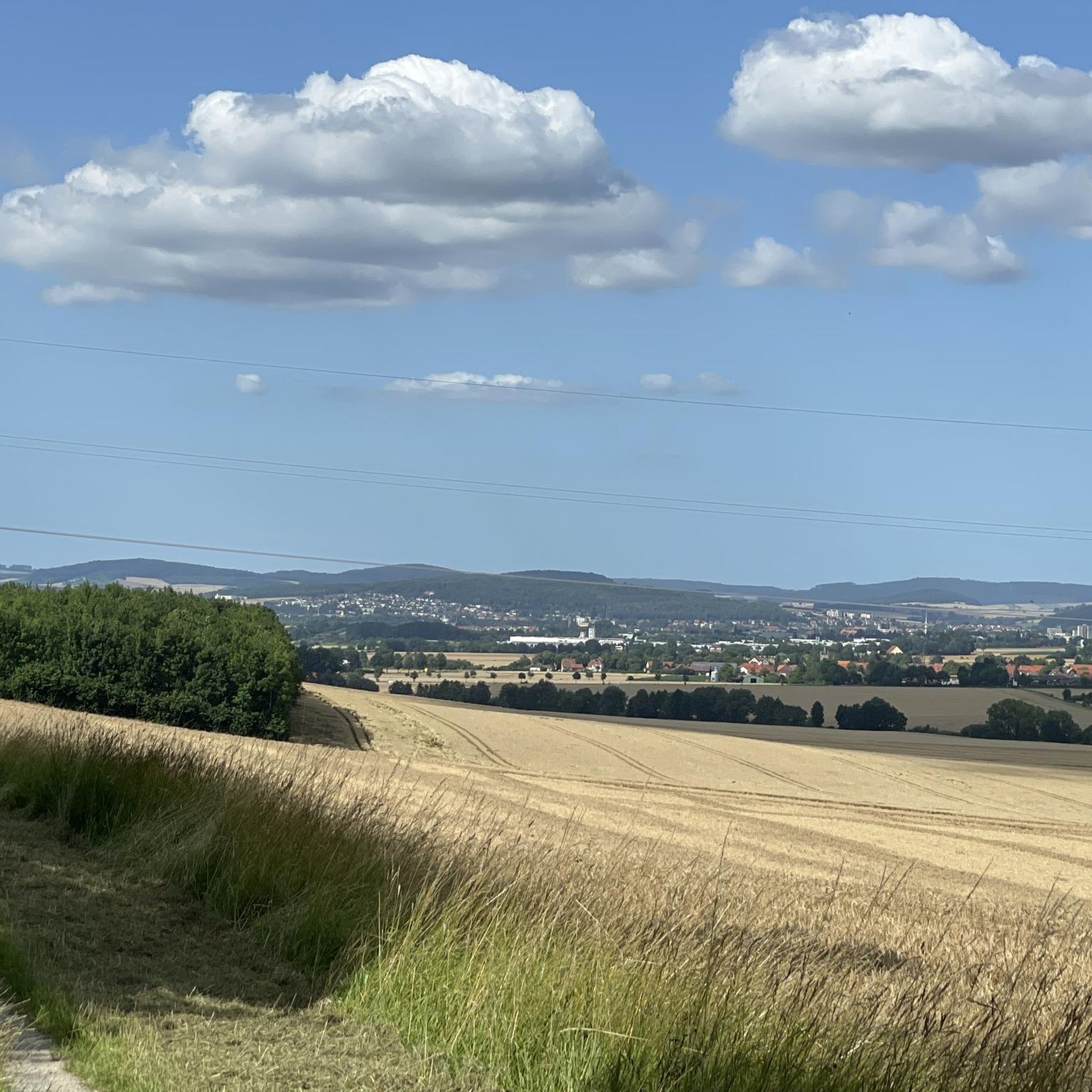
View of Hainberg and the Göttingen countryside
Highlight • Viewpoint
Translated by Google •
Tip by
Sign up for free to discover even more peaks around Nörten-Hardenberg.
Sign up for free
Already have an account?
Start today with a free account
Your next adventure awaits.
Login or Signup
Tips from the Community

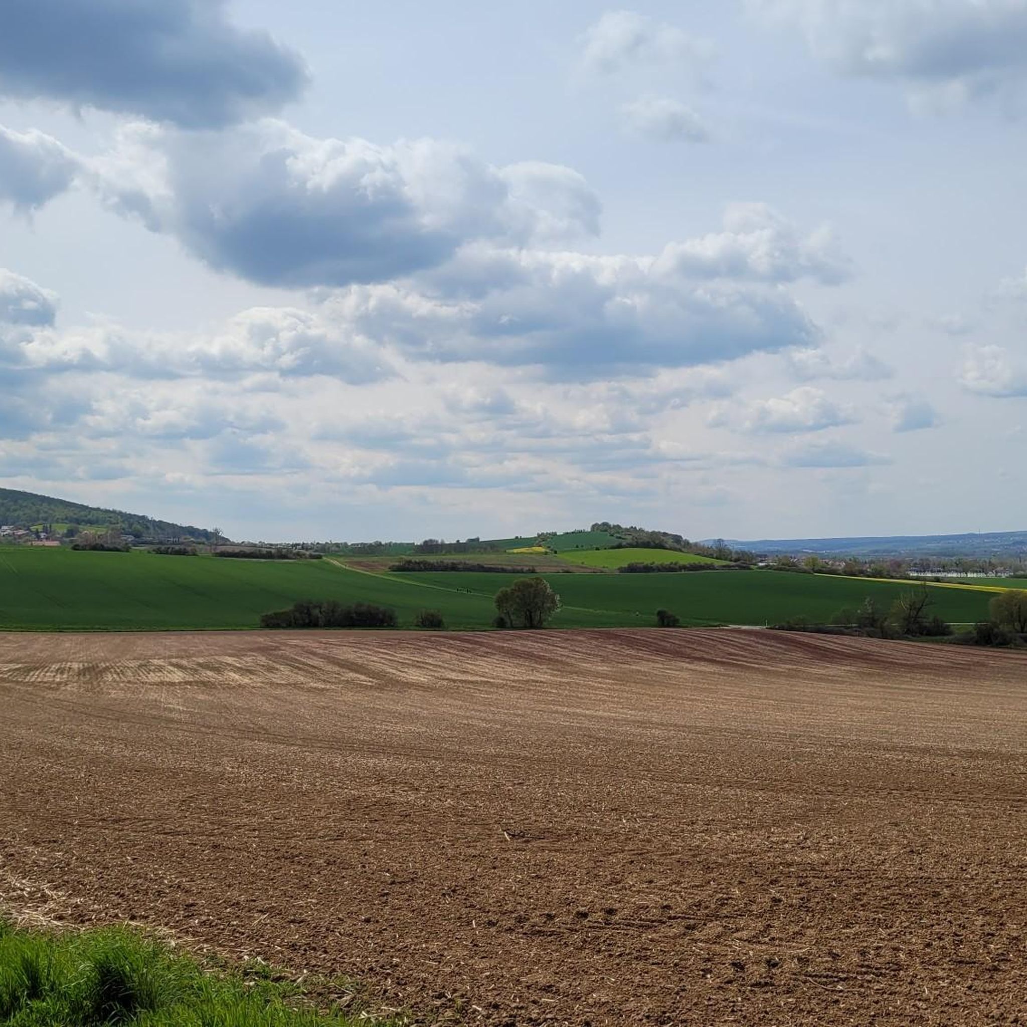
Stormed the summit today, 271m ...unfortunately no summit cross 💪🤣🤣
0
0

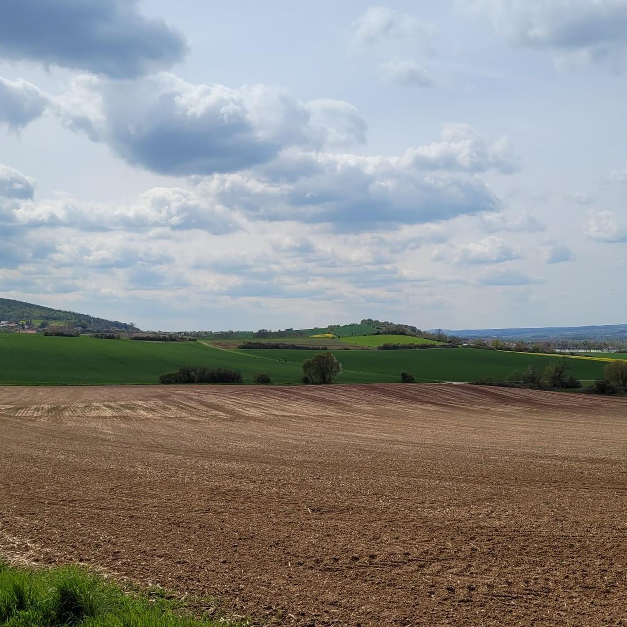
Beautiful Wieterwald for hiking, walking, cycling or just enjoying in every season
0
0

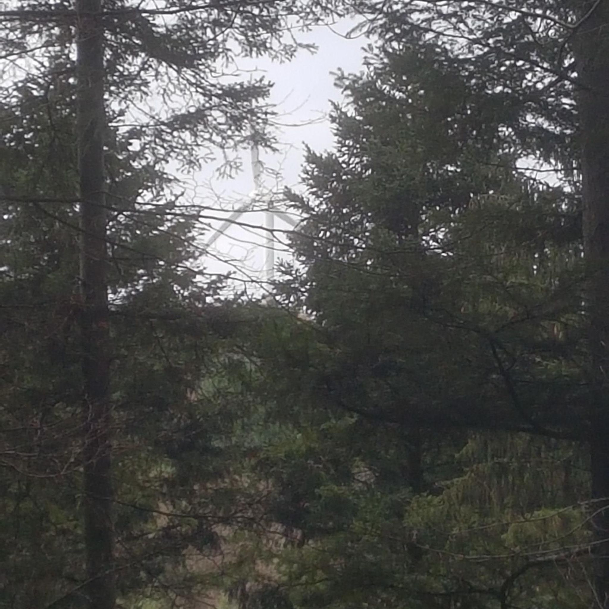
Unfortunately, there is no view and the path is blocked by fallen trees directly on the crest.
0
0

A nice piece of forest with a nice path to the Harzblick
4
1

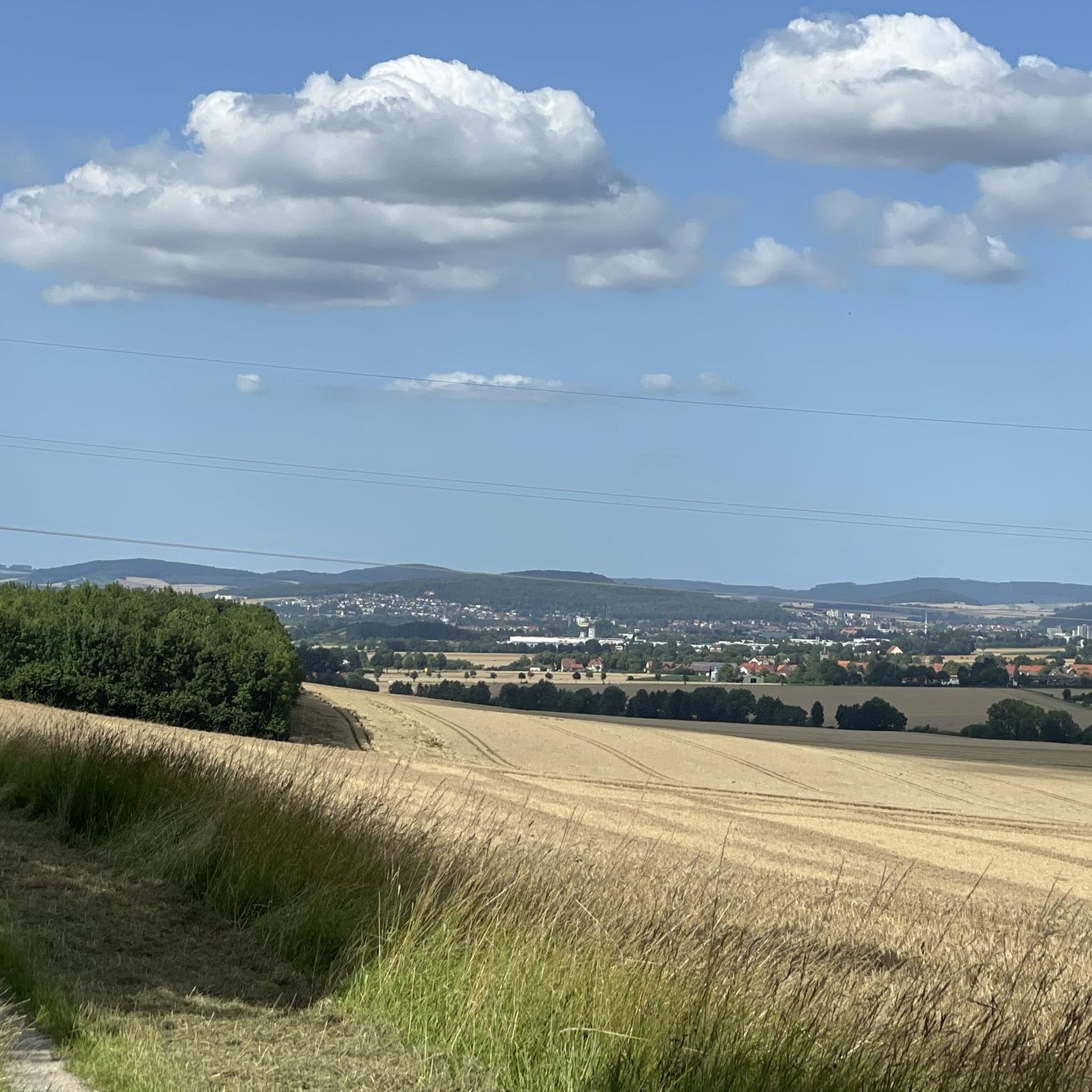
About 150 meters further north is the actual summit of the Hainberg via the dirt road to the northwest. In Göttingen a lot is named after the Hainberg (Hainberg observatory, Hainberg high school, etc.). Many hikers and walkers were already on the summit without knowing it. The summit is not identified as such.
13
0
There used to be an observation tower here, similar to the Harz view tower to the north, which did not exist at the time. The tower had to give way to the small Bundeswehr base, whose buildings and fences with parts of a light barrier cannot be overlooked here. A small mobile radar system was stationed here near the border. The Göttingen Forestry Office later took over this property. A city forest office manager devoted himself to his vintage car handicrafts. A few meters to the north is a small refuge that is interesting for hikers or groups of hikers. Several photos reflect this well.
23
0
Because of the poor condition of the road and the sometimes dense undergrowth, an ascent is recommended in late autumn to spring, when the vegetation allows more views and the forest is less tick-heavy.
11
0
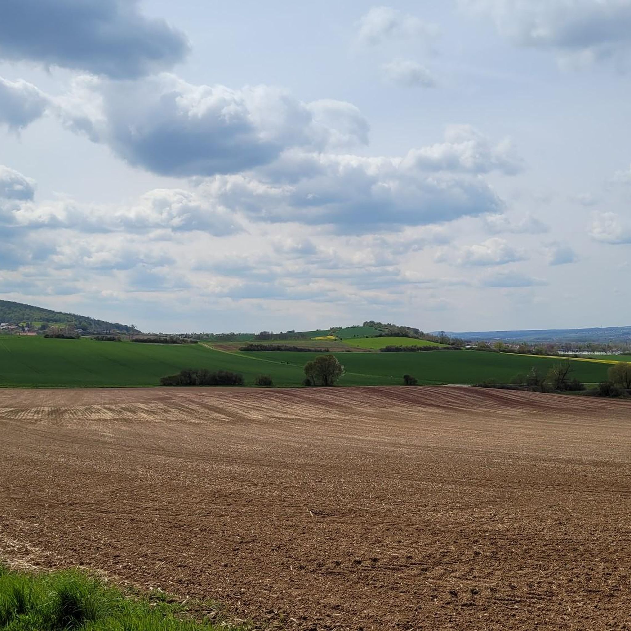
In front of the Plessewald plateau in the northeast there are two distinctive peaks. The southern mountain is the width of Lippberg. The northern mountain is the top of Lippberg. Both are still marked as viewing peaks on old hiking maps. The tree vegetation currently prevents a rewarding view in summer. This could soon change due to the current state of the forest. The condition of the paths and long-scarred name carvings show that this area had livelier times. Nevertheless, climbing or exceeding it is worthwhile. The Lippberg peak has interesting limestone formations at the summit.
11
0
Frequently Asked Questions
What are the most popular elevated points around Nörten-Hardenberg for hiking and views?
The region around Nörten-Hardenberg, characterized by rolling hills, offers several popular elevated points. The most prominent is the Mackenröder Spitze Shelter and Historic Monument, known for its historical significance and a refuge for hikers. Other popular spots include Wieterberg Summit within the Wieterwald forest, and Spitzer Lippberg Summit, which features interesting limestone formations.
Are there any historical sites or monuments on these elevated points?
Yes, the Mackenröder Spitze Shelter and Historic Monument has significant historical context, including a former military base and observation tower. The area around Mackenröder Spitze also features the Harzblick observation tower, offering panoramic views. Additionally, the Northern meridian marker near Groß Schneen is a historical man-made monument, though it was dismantled and its foundations are now underground.
What kind of views can I expect from the elevated points in the Nörten-Hardenberg region?
From the Harzblick observation tower near Mackenröder Spitze, you can enjoy extensive panoramic views. These include the Harz Mountains (with Brocken) to the northeast, Untereichsfeld and Seeburger See to the east, the Ohm Hills to the southeast, the Hoher Meißner to the south, the Kaufungen Forest to the southwest, the Gauß Tower on the Hoher Hagen to the west-southwest, and the Solling to the northwest. While some summits like Spitzer Lippberg Summit might have limited views in summer due to tree vegetation, the overall region is known for its picturesque scenery of rolling hills and green forests.
Are there family-friendly hiking options among the elevated points?
Yes, several spots are suitable for families. The Mackenröder Spitze Shelter and Historic Monument is considered family-friendly, offering a refuge and views. The View of Hainberg and the Göttingen countryside is also a family-friendly viewpoint and trail. The region's generally rolling terrain provides many opportunities for enjoyable outdoor activities for all ages.
What is the best time of year to visit the elevated points around Nörten-Hardenberg?
The region is ideal for exploring nature and enjoying the tranquil scenery, particularly during spring and autumn when the foliage is vibrant. For summits like Spitzer Lippberg Summit, an ascent in late autumn to spring is recommended when vegetation is less dense, potentially offering better views and fewer ticks.
What outdoor activities can I do near these elevated points?
Beyond hiking, the Nörten-Hardenberg area offers various outdoor activities. You can find numerous cycling routes, including easy and moderate options like the 'Hardegsen Castle – Erdbeerhof Hartmann Ice Cream Café loop'. For mountain biking enthusiasts, there are trails such as the 'Weperkammweg Trail – View of the Old Quarry loop'. You can explore more options on the Cycling around Nörten-Hardenberg or MTB Trails around Nörten-Hardenberg guide pages.
Are there easy hiking trails around the elevated points in Nörten-Hardenberg?
Yes, there are several easy hiking trails. For example, you can find routes like the 'Hardenberg Castle Ruins – Hardenberg Watchtower loop' or the 'View of Bishausen – Ilian Steps loop'. These are great for a relaxed outing. More easy hikes can be found on the Easy hikes around Nörten-Hardenberg guide page.
What makes the Spitzer Lippberg Summit unique?
The Spitzer Lippberg Summit is known for its challenging ascent and interesting limestone formations at the top. While dense tree vegetation might limit views in summer, the natural features and the historical condition of its paths make the climb worthwhile, especially outside of peak foliage season.
What do visitors appreciate most about the elevated points in Nörten-Hardenberg?
Visitors particularly enjoy the tranquil scenery, the opportunities for rewarding hikes, and the extensive panoramic views from observation points like the Harzblick tower. The presence of refuges and historical sites also adds to the appeal, offering both natural beauty and cultural interest.
Is the Wieterberg Summit suitable for cycling?
Yes, the area around Wieterberg Summit, within the beautiful Wieterwald forest, is suitable for hiking, walking, and cycling. It offers natural enjoyment throughout the year, making it a versatile spot for various outdoor activities.
Are there any challenging hikes among the elevated points?
The Spitzer Lippberg Summit is noted for being a challenging ascent, offering a more strenuous experience for hikers seeking a greater physical test. Its terrain and historical path conditions contribute to its difficulty.
Most popular routes around Nörten-Hardenberg
Most popular attractions around Nörten-Hardenberg

Get inspired with the komoot mobile app


Explore more
See even more amazing summits around Nörten-Hardenberg with these guides:
