The best MTB trails in Coquitlam Watershed
4.8
(8)
78
riders
6
rides
Mountain bike trails Coquitlam Watershed are set within a diverse landscape characterized by mountains, dense forests, and river systems in British Columbia. The region, particularly areas like Burke Mountain and Eagle Mountain, offers varied terrain from challenging climbs and technical singletracks to flowy descents. While the Coquitlam Watershed itself is a protected drinking water source, the surrounding areas provide an extensive network of trails for mountain biking. This environment features the Pacific Temperate Rainforest ecosystem, with trails winding through western…
Last updated: July 5, 2026
5.0
(2)
34
riders
9.59km
00:53
170m
170m
Moderate mountain bike ride. Great for any fitness level. Advanced riding skills necessary.
6
riders
5.34km
00:30
120m
120m
Moderate mountain bike ride. Great for any fitness level. Advanced riding skills necessary.

Sign up for free
14
riders
11.8km
01:08
290m
290m
Moderate mountain bike ride. Great for any fitness level. Advanced riding skills necessary.
5.0
(3)
13
riders
26.6km
02:40
790m
790m
Hard mountain bike ride. Good fitness required. Advanced riding skills necessary. Some portions of the route may require you to push your bike.
4.3
(3)
6
riders
35.5km
02:59
700m
700m
Moderate mountain bike ride. Good fitness required. Advanced riding skills necessary.
Our route recommendations are based on thousands of hikes, rides, and runs completed by other people on komoot.
Start today with a free account
Your next adventure awaits.
Login or Signup
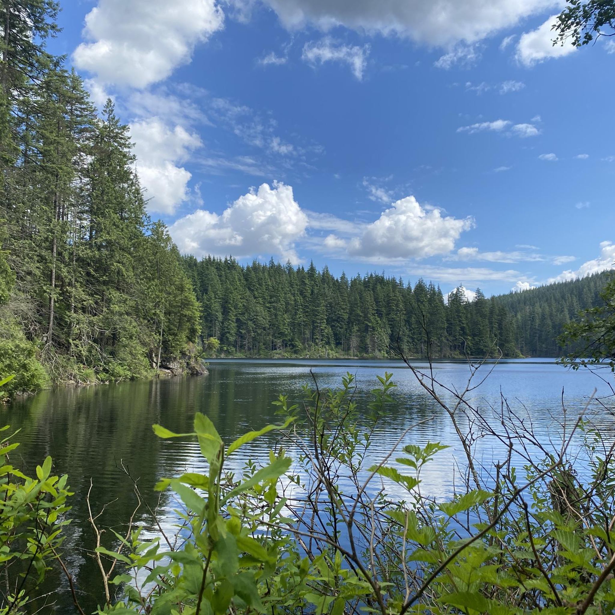
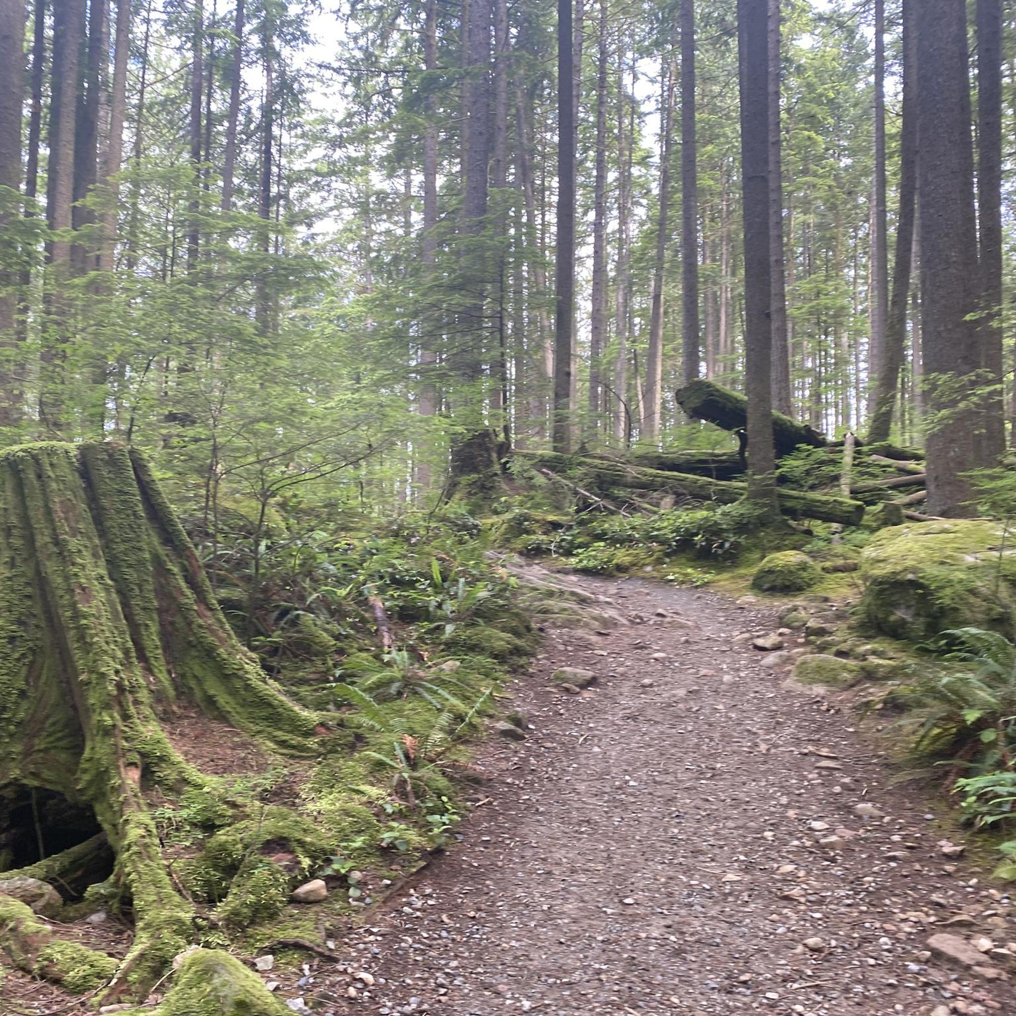
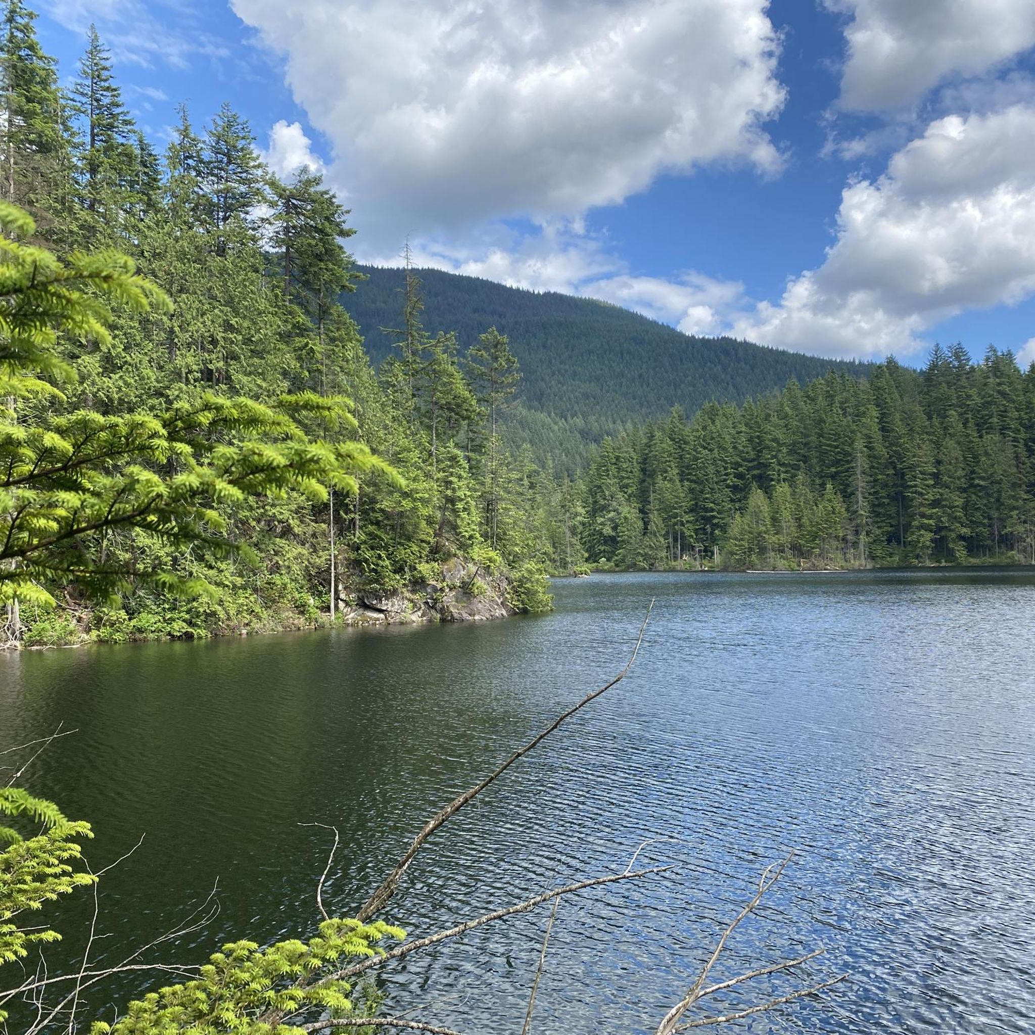
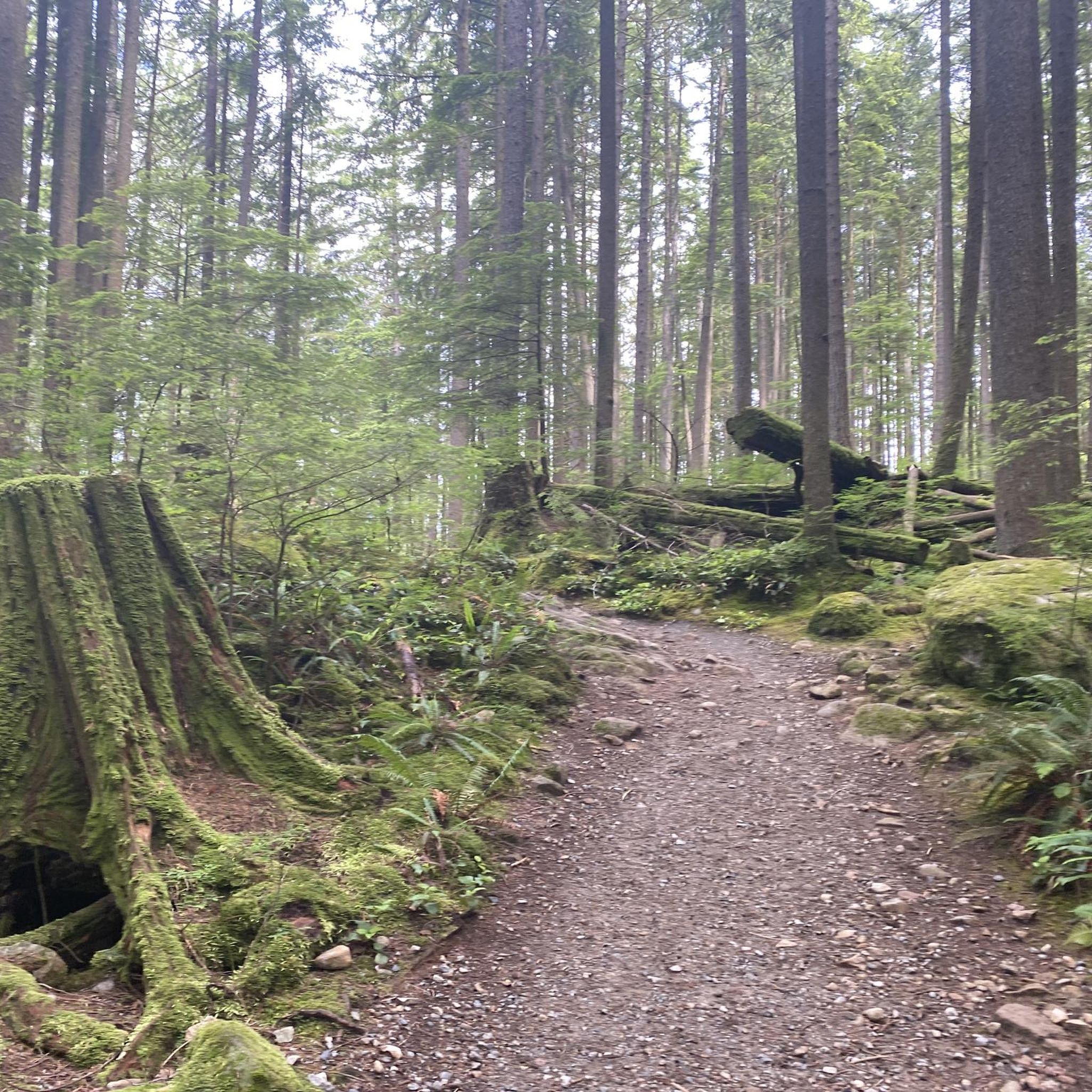

Tips from the Community

The Burnaby Mountain Biking and Hiking Trails span a total of 28 kilometres across 576 hectares of the Burnaby Mountain Conservation Area. The best place to park is the park at the Mountain Air Bike Skills parking lot, but there are smaller lots around the university as well for accessing different areas of the forest. Burnaby Mountain Conservation Area can feel quite wild sometimes, with wildlife sharing the trails and forests like blacktail deer, coyotes, bald eagles, black bears and cougars. However, you can also find quiet areas of the forest that feel totally removed from urban life.
0
0
Upper Cut Trail is open to mountain bikers, hikers and trail runners. Mountain bikers can enjoy some fun corners and a few wooden features, while hikers can enjoy this lush green forest, with lots of shade and small stream crossings. It's a singletrack trail, which means it's narrow and bikers may only ride from north to south.
0
0

A well-known part of Burnaby Mountain's trail network, Gearjammer is one of the area's most popular mountain biking routes. The trail winds through dense coastal forest, with the lower section featuring a series of tight switchbacks that zigzag down the hillside. These turns help manage the mountain's elevation while adding character to the route for both riders and hikers. Along the way, short ladder features and the surrounding rainforest scenery offer a glimpse into Burnaby Mountain's long-established mountain biking culture while still making for an enjoyable forest walk.
0
0
Much of Burnaby Mountain is covered by the temperate rainforest typical of British Columbia's south coast. Towering conifers, moss-covered logs, and a dense understory create a distinctly Pacific Northwest atmosphere, while the forest canopy provides shade throughout much of the year.
0
0
Unlike the surrounding forest trails, Powerline Trail follows an open utility corridor across Burnaby Mountain. The cleared route creates wider views and a greater sense of space than the densely wooded sections nearby, offering a different perspective on the conservation area.
0
0

The park fully shrouds you from the city around, and it feels like anything but an urban park. There are a number of bridges and creekside benches from which you can enjoy the natural scenery.
0
0
Many of the trails near the entrance of the park are wide crushed gravel, but there are plenty of windy singletrack paths to explore further in. Dogs must be leashed once you're off the main road.
0
0
Frequently Asked Questions
What kind of terrain can I expect on mountain bike trails in the Coquitlam area?
The Coquitlam area, including popular spots like Burke Mountain and Eagle Mountain, offers a diverse range of terrain. You'll find challenging climbs, technical singletracks, and flowy descents. Trails often feature rooty sections, steep descents, and natural or man-made features, all set within the Pacific Temperate Rainforest ecosystem with dense forests of western hemlock, Douglas-fir, and western red cedar.
Are there mountain bike trails suitable for beginners in the Coquitlam area?
Yes, while many trails offer technical challenges, there are options for beginners. Areas like Riverview Forest Park and the Mundy Bike Skills Park are good places to develop skills. For a moderate cross-country experience, consider routes such as the Mossom Creek Park – Bert Flinn Park loop from Port Moody, which covers 11.9 km.
How many mountain bike trails are available in the Coquitlam Watershed region?
The Coquitlam Watershed region, focusing on the surrounding mountain biking areas, features over 9 distinct mountain bike routes. These range from moderate cross-country paths to challenging technical descents, catering to various skill levels.
What are the typical trail conditions like for mountain biking in Coquitlam?
Trails in Coquitlam are known for their varied conditions, often featuring technical singletracks, rooty sections, and natural features. As part of the Pacific Temperate Rainforest, trails can be damp or muddy, especially after rain, and may include challenging climbs and descents. Organizations like the Tri-Cities Off Road Cycling Association (TORCA) help maintain these trails.
Are there any challenging mountain bike trails for advanced riders?
Absolutely. The Coquitlam area is well-regarded for its challenging trails, particularly on Burke Mountain and Eagle Mountain. Advanced riders can find technical singletracks with steep descents, drops, jumps, and rock faces. An example of a difficult route is the Train Wreck Brewing loop from Moody Centre, which spans 26.7 km with significant elevation changes.
What do other mountain bikers say about the trails in the Coquitlam area?
The mountain bike trails in the Coquitlam area are highly rated by the komoot community, with an average score of 4.8 stars from more than 7 reviews. Riders often praise the diverse terrain, from challenging technical sections to scenic forest paths, and the rewarding views from higher elevations.
Are there any mountain bike trails that offer scenic views?
Many trails in the Coquitlam area provide rewarding views, especially those that climb higher into the mountains. Routes on Burke Mountain and Eagle Mountain often offer sweeping vistas of the inlets and surrounding mountains in the distance. The Powerline Viewpoint loop from Harper Park is a difficult 14.2 km path specifically noted for its challenging climbs and rewarding views.
Can I find loop trails for mountain biking in the Coquitlam area?
Yes, many of the mountain bike routes in the Coquitlam area are designed as loops, allowing you to start and finish at the same point. For instance, the Bert Flinn Park loop from Port Moody is a popular moderate 9.6 km trail that winds through forested areas.
What kind of wildlife might I encounter while mountain biking in Coquitlam?
The Coquitlam area is part of the Pacific Temperate Rainforest ecosystem, rich in diverse flora and fauna. While riding, you might spot various birds, and there's a chance to see elusive wildlife such as barred owls, adding to the immersive outdoor experience.
Is public transport available to access mountain bike trails in Coquitlam?
Coquitlam has a robust public transport network, including SkyTrain and bus services, which can provide access to various parts of the city. Depending on the specific trailhead, you may be able to reach it via public transport, though some more remote trailheads might require a short ride or shuttle from the nearest transit stop. It's advisable to check local transit schedules and routes for specific access points.
Are there specific parking areas for mountain bikers near the trails?
Yes, many popular trailheads in the Coquitlam area, especially around Burke Mountain and Eagle Mountain, offer designated parking areas for trail users. These are typically well-marked. For specific routes, it's recommended to check the route details on komoot or local trail maps for precise parking information.
What is the best time of year to go mountain biking in Coquitlam?
Mountain biking in Coquitlam is generally enjoyable from spring through fall, when the weather is milder and trails are less likely to be covered in snow or excessively muddy. While winter riding is possible, conditions can be wet and cold, and some higher elevation trails may be inaccessible due to snow. Always check local trail conditions before heading out.
Most popular routes in Coquitlam Watershed

Get inspired with the komoot mobile app


Explore more
Browse the best MTB trails in other regions.
