The best cycling routes in Mount Gardner Recreation Site
4.6
(5)
97
riders
3
rides
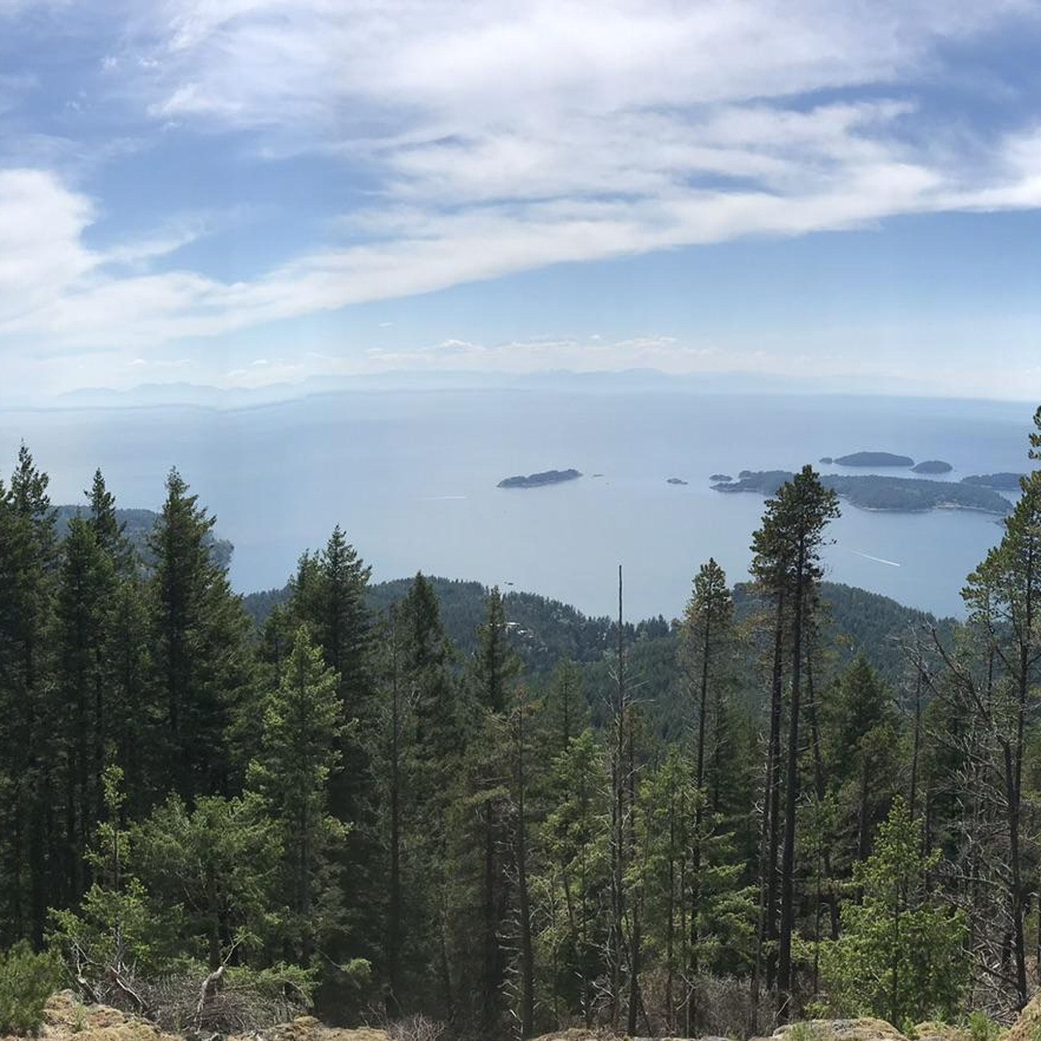
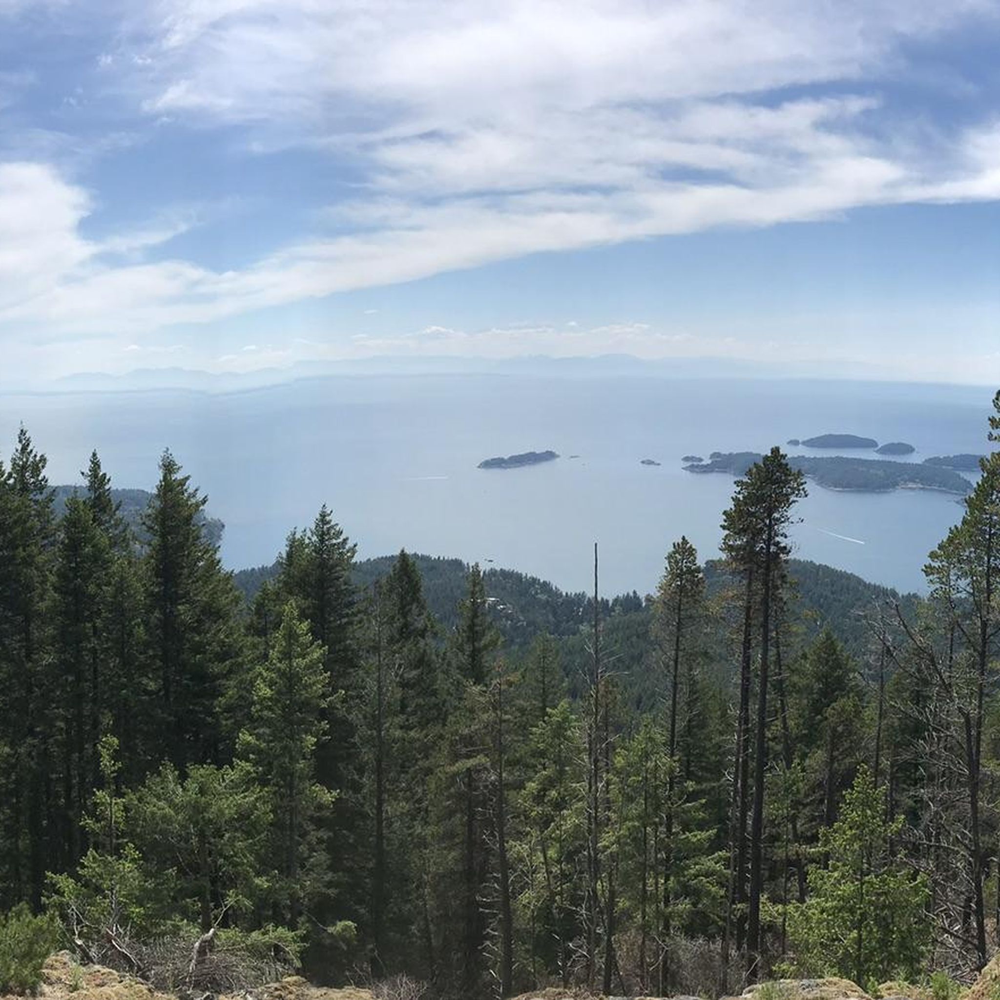
Touring cycling in Mount Gardner Recreation Site offers routes across Bowen Island, characterized by hilly and undulating roads that provide significant elevation changes. The region's highest point, Mount Gardner, is primarily forested and offers panoramic views of Howe Sound, the Strait of Georgia, and distant mountains. While the roads can be narrow and lack paved shoulders, the island's diverse landscapes and scenic waterfront provide continuous visual interest for cyclists. Killarney Lake is another notable natural feature accessible via trails and roads in the vicinity.
Best touring cycling routes in Mount Gardner Recreation Site
- The most popular touring cycling route is Bridal Veil Falls – Killarney Lake beach loop from Bowen Island RCMP, a 5.5 miles (8.9 km) trail that takes 45 minutes to complete. This moderate route explores the area around Killarney Lake, a notable natural feature.
- Another top favourite among local touring cyclists is Hollyburn Sailing Club Beach – Isetta Café-Bistro loop from Cypress Park, a moderate 19.5 miles (31.4 km) path. This route offers varied landscapes along winding roads with scenic views.
- Local touring cyclists also love the Steep Bluff – Bonniebrook Beach loop from Langdale Ferry Terminal, a 26.4 miles (42.5 km) trail leading through hilly and undulating terrain, often completed in about 2 hours 51 minutes.
- Touring cycling in Mount Gardner Recreation Site is defined by hilly roads, panoramic views, and a forested peak. The network offers options for moderate and difficult routes, catering to different ability levels.
- The routes in Mount Gardner Recreation Site are highly rated by the komoot community with an average score of 4.7 stars from over 10 reviews. More than 159 touring cyclists have used komoot to explore Mount Gardner Recreation Site's varied terrain.
Last updated: August 29, 2026
4
riders
8.73km
00:45
150m
150m
Easy bike ride. Great for any fitness level. Mostly paved surfaces. Suitable for all skill levels.
3
riders
14.9km
01:05
320m
310m
Moderate bike ride. Good fitness required. Mostly paved surfaces. Suitable for all skill levels.

Sign up for free
4.6
(5)
90
riders
31.0km
01:59
350m
350m
Moderate bike ride. Good fitness required. Mostly paved surfaces. Suitable for all skill levels.
Our route recommendations are based on thousands of hikes, rides, and runs completed by other people on komoot.
Start today with a free account
Your next adventure awaits.
Login or Signup
Popular around Mount Gardner Recreation Site
Tips from the Community

Brothers Creek is a mountain stream that flows through a steep, forested canyon on Vancouver’s North Shore before joining the Capilano River. Fed by rainfall and runoff from the slopes of Cypress Mountain, the creek runs through a rugged valley of dense coastal forest, creating beautiful waterfalls and rocky channels, with trails that run along its course in several areas. Its clear waters and surrounding old-growth forest provide important habitat for fish, wildlife, and native plants.
0
0
Capilano Pacific Trail is a beautiful forested route in North Vancouver that follows the Capilano River corridor through dense coastal woodland, combining shaded paths, suspension bridges, and sections of rolling terrain under towering cedar, fir, and hemlock trees. The trail passes through steep canyon scenery with constant views of the river and rushing water below. Due to landslides in the area, a section of the route remains permanently closed, requiring detours or alternate connections in some areas. Despite its urban location, the mix of river views, mature forest, and peaceful stretches makes it feel secluded, and it's a fantastic route to immerse yourself in the beautiful scenery close to the city.
0
0

The Spirit Trail follows the coast of North Van, passing by the pond and sports courts here in Ambleside Park. The trail is divided into two lanes, one for hiking and slower cyclists and one for commuting cyclists.
0
0

Bridal Veil Falls is a short cascade where Killarney Lake empties into Mannion Bay. You will see a fish ladder nearby where salmon can swim upstream.
0
0
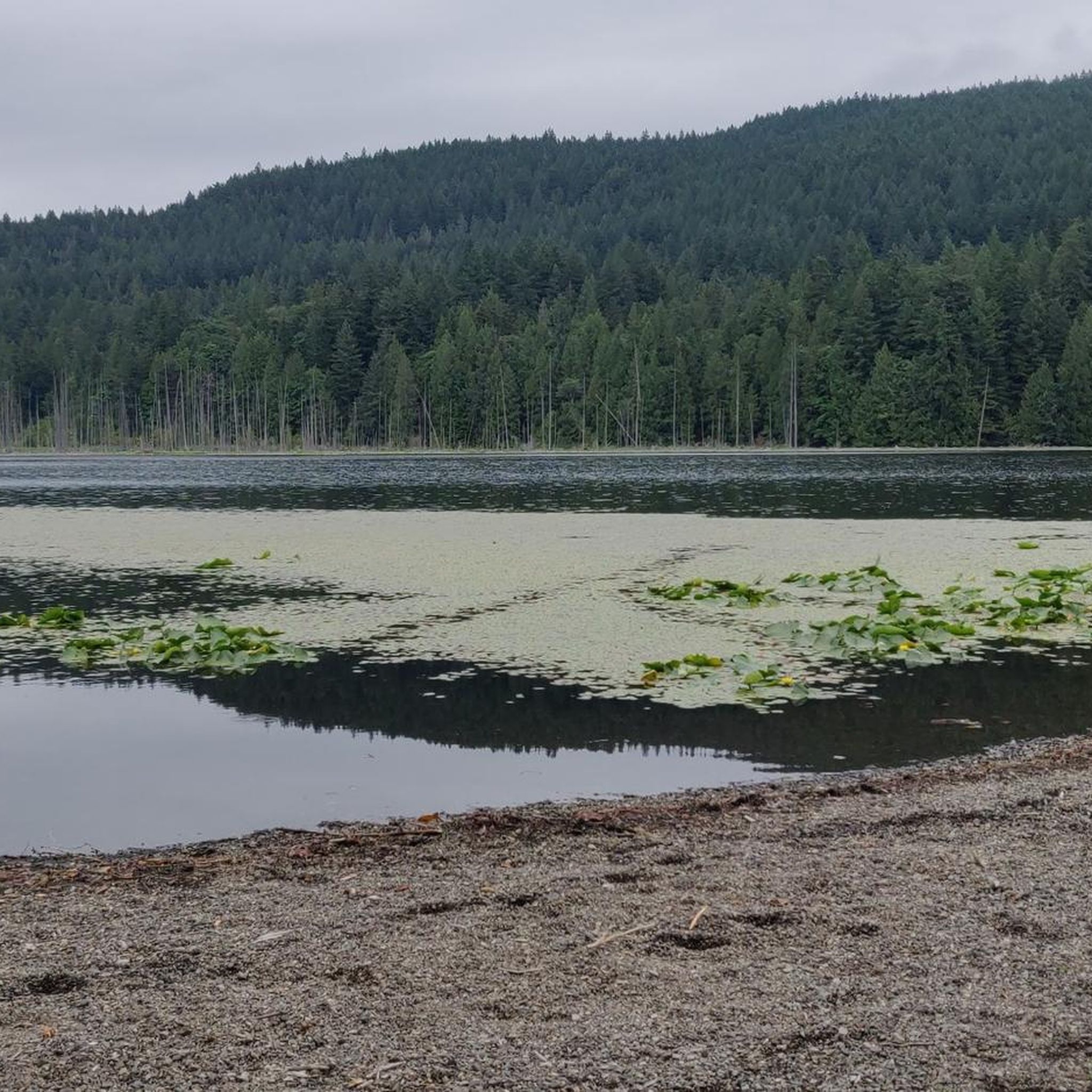
Killarney Lake View Point has a boulderous beach and great views from he south end of the lake to the north end. Swimming is allowed here but not recommended as there have been reporting of leeches in the water.
1
0

The Capilano River flows into Burrard Inlet west of the Lions Gate Bridge. The river originates in the Coast Mountains; its water is used as a drinking water source for Greater Vancouver. https://en.wikipedia.org/wiki/Capilano_River
2
0

The lake has a healthy population of leeches. Swimming or wading is not advised.
0
0

Definitely worth checking out the mysterious living stump, which is being kept alive by a fungal network and its tree neighbours.
0
0
Frequently Asked Questions
What kind of terrain can I expect when touring cycling in Mount Gardner Recreation Site?
Touring cycling in Mount Gardner Recreation Site, and across Bowen Island, is characterized by hilly and undulating roads. You'll encounter significant elevation changes, with some road cycling routes on the island involving up to 3,000 feet of elevation gain. The routes traverse diverse landscapes, offering continuous visual interest.
How many touring cycling routes are available in Mount Gardner Recreation Site?
There are 6 touring cycling routes available in Mount Gardner Recreation Site, offering a mix of moderate and difficult options to suit various skill levels.
Are there any family-friendly touring cycling routes in the area?
While many routes on Bowen Island are quite hilly, the Bridal Veil Falls – Killarney Lake beach loop from Bowen Island RCMP is a moderate 5.5-mile (8.9 km) route that explores the area around Killarney Lake. It's a good option for those looking for a less strenuous ride, though still with some elevation.
What are the best viewpoints or natural features to see along the touring cycling routes?
Mount Gardner, the island's highest point, offers panoramic views of Howe Sound, the Strait of Georgia, and distant mountains like Brunswick Mountain and Mount Harvey. Killarney Lake is another notable natural feature accessible via trails and roads. On clear days, you might even spot downtown Vancouver and Mount Baker.
What is the best time of year for touring cycling in Mount Gardner Recreation Site?
The region is generally enjoyable for touring cycling from spring through fall. However, it's always advisable to check local weather conditions before heading out, as weather shifts can occur. Be prepared for steep inclines regardless of the season.
How accessible is Mount Gardner Recreation Site for cyclists arriving without a car?
The trailhead to Mount Gardner is approximately 3 km from the Snug Cove ferry terminal, making it easily accessible by bike directly from the ferry landing. This allows visitors to save on vehicle ferry fees and get extra exercise right from the start of their trip.
Are there any circular touring cycling routes in Mount Gardner Recreation Site?
Yes, several routes are designed as loops. For example, the Hollyburn Sailing Club Beach – Isetta Café-Bistro loop from Cypress Park is a moderate 19.5-mile (31.4 km) path that offers varied landscapes and scenic views in a circular format.
What should I be aware of regarding road conditions for touring cycling?
Bowen Island's roads are often narrow and may lack paved shoulders, which can make cycling more challenging, especially with vehicle traffic. Cyclists are advised to plan routes carefully, consider road conditions, and be prepared for steep inclines. Downloading trail maps in advance is also recommended.
What do other touring cyclists enjoy most about cycling in Mount Gardner Recreation Site?
The area is highly rated by the komoot community, with an average score of 4.7 stars. Reviewers often praise the challenging yet rewarding hilly terrain, the stunning panoramic views, and the diverse landscapes encountered along the winding roads.
Are there options for less experienced cyclists or those who find the hills too daunting?
For those who find the steepest hills challenging, there's the option to 'park and ride' from a central location like Snug Cove, allowing you to tackle less intense mid-island routes. Electric bikes are also a popular way to make the hills more manageable.
Are there cafes or pubs near the touring cycling routes for a break?
Snug Cove, being the main hub and ferry terminal, offers various cafes and pubs where cyclists can take a break, refuel, and enjoy local amenities before or after their ride.
What are some of the more challenging touring cycling routes in the area?
For experienced cyclists seeking a challenge, routes like the Steep Bluff – Bonniebrook Beach loop from Langdale Ferry Terminal, a 26.4-mile (42.5 km) trail with significant elevation, or the Bonniebrook Beach – Pier in Sechelt loop from Langdale Ferry Terminal, which is 62.7 km and features over 870m of ascent, offer demanding terrain.
Most popular routes in Mount Gardner Recreation Site

Get inspired with the komoot mobile app


Explore more
Browse the best Cycling routes in other regions.
