The best walks and hikes in Stanley Park National Historic Site
4.6
(879)
12,496
hikers
22
hikes
Hiking in Stanley Park National Historic Site offers diverse trails through a 400-hectare natural West Coast rainforest, featuring towering cedar and Douglas fir trees. The park is situated on a peninsula, providing extensive waterfront views along its famous Seawall and access to beaches like Third Beach. Its varied terrain includes dense forest paths, calm lagoons such as Beaver Lake, and coastal routes, catering to a range of hiking experiences. The trail system encompasses over 27 km of forest trails and an 8.8 km Seawall loop, with elevations generally under 100 meters.
Best hiking trails in Stanley Park National Historic Site
- The most popular hiking route is Stanley Park Seawall loop, a 5.9 miles (9.5 km) trail that takes 2 hours 28 minutes to complete, offering continuous waterfront views around the park's perimeter.
- Another top favourite among local hikers is Second Beach to English Bay loop, an easy 3.2 miles (5.1 km) path. This route connects two popular beaches with scenic ocean vistas.
- Local hikers also love the Nine O'Clock Gun – Brockton Point Lighthouse loop from Stanley Park, a 2.9 miles (4.6 km) trail leading through Brockton Point, often completed in about 1 hour 11 minutes.
- Hiking in Stanley Park National Historic Site is defined by West Coast rainforest, the iconic Seawall, and scenic beaches. The extensive network of trails offers options for various ability levels, including 16 easy and 4 moderate routes.
- The routes in Stanley Park National Historic Site are highly rated by the komoot community with an average score of 4.7 stars from over 500 reviews. More than 5000 hikers have used komoot to explore Stanley Park National Historic Site's varied terrain.
Last updated: July 21, 2026
4.8
(37)
651
hikers
9.51km
02:28
60m
60m
Moderate hike. Good fitness required. Easily-accessible paths. Suitable for all skill levels.
65
hikers
5.15km
01:20
30m
30m
Easy hike. Great for any fitness level. Easily-accessible paths. Suitable for all skill levels.

Sign up for free
5.0
(2)
7
hikers
7.79km
02:09
130m
130m
Moderate hike. Good fitness required. Easily-accessible paths. Suitable for all skill levels.
2
hikers
6.25km
01:41
80m
80m
Easy hike. Great for any fitness level. Easily-accessible paths. Suitable for all skill levels.
5.0
(4)
113
hikers
4.44km
01:09
30m
30m
Easy hike. Great for any fitness level. Easily-accessible paths. Suitable for all skill levels.
Get access to more routes and recommendations from other explorers.
Sign up for free
Already have an account?
Our route recommendations are based on thousands of hikes, rides, and runs completed by other people on komoot.
Start today with a free account
Your next adventure awaits.
Login or Signup
Popular around Stanley Park National Historic Site

Vancouver roundtrip — Bikepacking British Columbia
Running Trails in Stanley Park National Historic Site
Cycling in Stanley Park National Historic Site
Road Cycling Routes in Stanley Park National Historic Site
MTB Trails in Stanley Park National Historic Site
Gravel biking in Stanley Park National Historic Site
Other adventures in Stanley Park National Historic Site

Tips from the Community

Siwash Rock is a dramatic sea stack rising just offshore beneath the park’s rugged sandstone cliffs, and is one of Vancouver’s most recognizable natural landmarks. Formed millions of years ago by a volcanic intrusion, it resisted erosion better than the surrounding rock, standing about 15–18 metres tall and is the only sea stack of its kind in the Vancouver area. The coastal forest backdrop, open water, and views across English Bay make it one of the most photographed spots along Stanley Park’s waterfront.
0
0

Lost Lagoon is a freshwater lake at the entrance to Stanley Park. Before the Stanley Park Causeway was built, this area was a tidal mudflat connected to Coal Harbour and would disappear at low tide, inspiring the name given by poet E. Pauline Johnson. Today, the lagoon is one of Vancouver's best places for urban wildlife watching, with ducks, great blue herons, turtles, and other water birds regularly seen along its shores. The flat path around the water also offers beautiful reflections of the downtown skyline and surrounding trees.
0
0

Prospect Point sits on the northernmost end of Stanley Park and is most famous for its observation decks. Paved walkways descend below the bridge where the Prospect Point Lighthouse sits on the shores of the water. There is a large Canadian flag and plenty of informational signage to read up on.
1
0
Here, the Avison Trail crosses over Stanley Park Causeway via a sidewalk on Stanley Park Drive and gives one of the best viewpoints over Lions Gate Bridge. There is an informational sign on the sidewalk about the bridge, and the viewpoints look straight down the bridge from between the forests.
1
0
The Bridle Path is a route open to hikers, horseback riders, and cyclists. It's a well-maintained and scenic winding path through thick forests, open meadows, and riverbanks. The pathway is wide and explores the heart of Stanley Park.
0
0
The Seven Sisters Replantation was a community-led effort focused on helping restore native plants and trees and improving trail conditions. This area was named after 7 tall trees that were cut down in the 50s. There is informational signage here to learn all about these giant trees and the 7 stumps that remain.
0
0
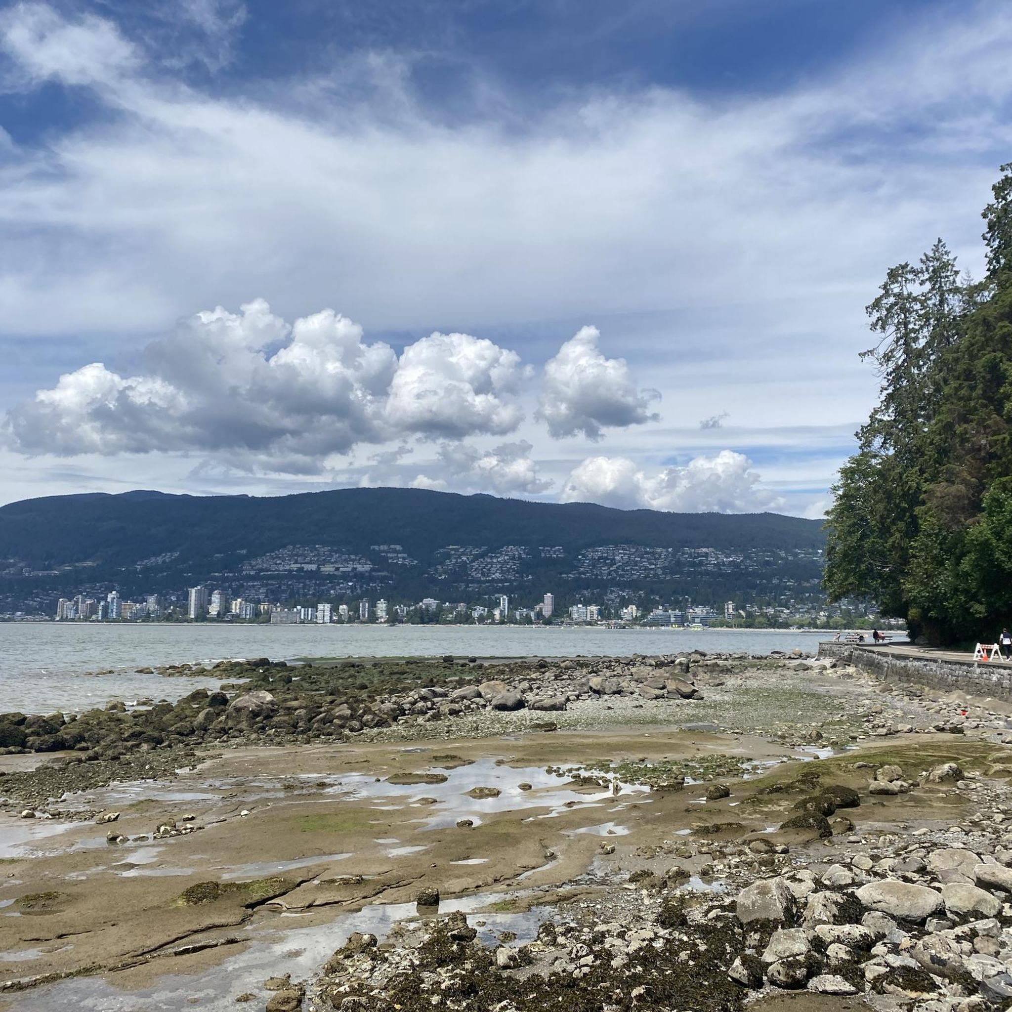
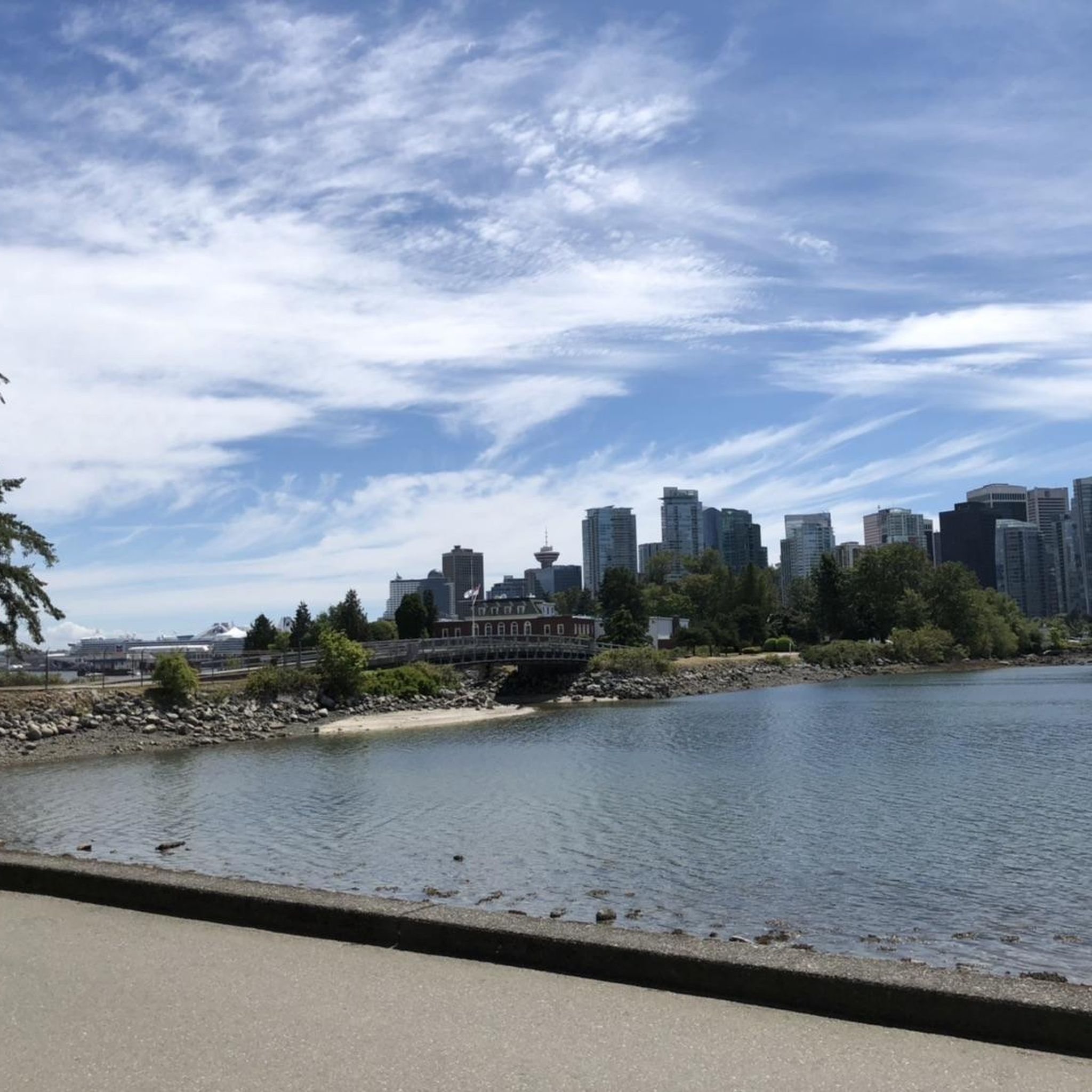
The Stanley Park Seawall is a paved waterfront path that circles the edge of Stanley Park, offering continuous views of the ocean, mountains, and city skyline. This iconic section of the Vancouver Seawall follows the shoreline of English Bay and is popular with both walkers and cyclists. Gentle grades, wide paths, and frequent viewpoints make it one of the most scenic and accessible urban waterfront routes in Canada.
0
0
The English Bay Bathhouse is a historic waterfront facility built in 1931 to replace earlier wooden bathing pavilions. Today, it offers public change rooms, restrooms, and lifeguard services right on English Bay Beach and also serves as a central hub for events like the annual Polar Bear Swim. Its concrete design is characteristic of early 20th-century beach architecture and beautifully complements the scenic waterfront promenade, and is a popular spot for both residents and visitors.
0
0
Frequently Asked Questions
How many hiking trails are there in Stanley Park National Historic Site?
Stanley Park National Historic Site offers a wide variety of hiking experiences, with 20 distinct routes available on komoot. These include 15 easy trails perfect for a leisurely stroll and 5 moderate options for those seeking a bit more challenge.
What are the best trails for beginners or those looking for an easy walk?
For an easy and scenic walk, consider the Second Beach to English Bay loop, which is 5.1 km long. Another great option is the Brockton Point Totem Poles – Nine O'Clock Gun loop from Stanley Park, an easy 4.6 km trail that takes you past significant cultural landmarks.
Are there any circular hiking routes in Stanley Park National Historic Site?
Yes, many of the trails in Stanley Park are circular, allowing you to start and end at the same point. The iconic Stanley Park Seawall loop is a 9.5 km moderate route offering continuous waterfront views. For a shorter option, the Third Beach – English Bay Beach loop from Stanley Park is an easy 5.7 km circular path.
What can I see along the hiking trails in Stanley Park?
Stanley Park's trails offer a blend of natural beauty and cultural sights. You can explore the dense forest with towering trees, enjoy coastal views, and discover landmarks like the Siwash Rock (Slhx̱í7lsh). Don't miss the impressive Totem Poles in Stanley Park at Brockton Point, or the serene Lost Lagoon.
Are the trails in Stanley Park National Historic Site suitable for families with children?
Absolutely! Stanley Park is very family-friendly. Many of the 15 easy routes are perfect for families, offering gentle terrain and plenty of interesting sights. The park's diverse attractions, from the Totem Poles to the beaches like Third Beach, provide engaging stops for all ages.
Can I bring my dog on the hiking trails in Stanley Park?
Stanley Park is generally dog-friendly, with many trails allowing leashed dogs. It's a great place to enjoy the outdoors with your canine companion, whether you're exploring the forest paths or walking along sections of the Seawall. Always ensure your dog is on a leash and follow local regulations.
What are the best viewpoints in Stanley Park National Historic Site?
For breathtaking panoramic views, head to Prospect Point Lookout, which offers stunning vistas of West Vancouver, the Lions Gate Bridge, and distant mountains. The Seawall also provides continuous scenic views of the water, city skyline, and Burrard Inlet. The Third Beach (Stanley Park) – Prospect Point Lighthouse loop from Stanley Park is a great route to incorporate some of these views.
What is the best time of year to hike in Stanley Park?
Stanley Park is beautiful year-round. Spring and summer offer vibrant gardens and lush greenery, while autumn brings stunning fall foliage. Even in winter, the dense forest provides a unique atmosphere, and the coastal paths offer crisp, clear views. The park's trails are accessible in most weather conditions, making it a versatile hiking destination.
What do other hikers enjoy most about hiking in Stanley Park National Historic Site?
The area is highly rated by the komoot community, with an average score of 4.7 stars from over 800 reviews. Reviewers often praise the park's unique blend of dense urban forest and stunning coastal views, the well-maintained trails, and the accessibility of such a vast natural space within a city. The iconic Seawall and the ancient trees are frequently highlighted as favorites.
How can I get to Stanley Park National Historic Site using public transport?
Stanley Park is well-served by public transport in Vancouver. Numerous bus routes stop near the park's entrances, particularly along Georgia Street and Denman Street. This makes it convenient to access the trails without needing a car. You can check TransLink's website for the most up-to-date routes and schedules.
Are there any cafes or places to eat near the hiking trails?
Yes, Stanley Park has several dining options within and around its perimeter. You'll find cafes and restaurants near popular spots like Prospect Point, Brockton Point, and along the Seawall. Additionally, the West End neighborhood, adjacent to the park, offers a wide array of cafes, pubs, and restaurants for a post-hike meal or refreshment.
Most popular routes in Stanley Park National Historic Site
Most popular attractions in Stanley Park National Historic Site

Get inspired with the komoot mobile app


Explore more
Browse the best Hikes in other regions.
