The 5 Most Amazing Peaks around Adelebsen
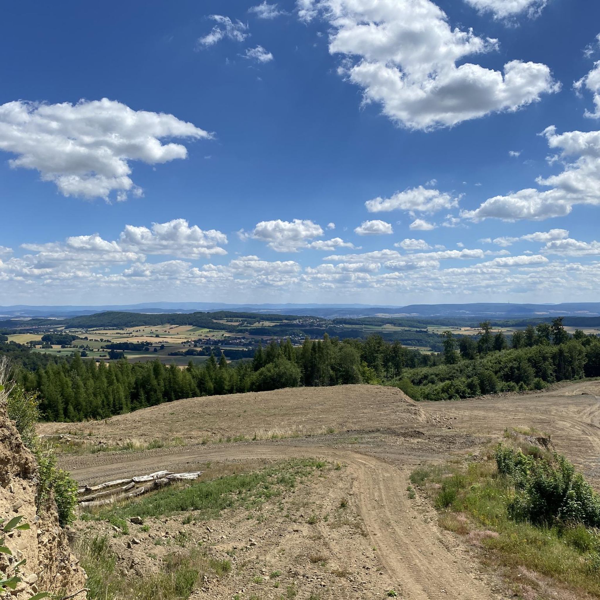
Mountain peaks around Adelebsen are characterized by a landscape shaped by former volcanic activity, offering scenic hills rather than towering mountains. Located in the Göttinger Land region of Germany, the area's geological past is evident in several ancient volcanic formations. These features contribute to its natural beauty and provide points of interest for visitors. The region offers a varied and attractive landscape of volcanic mountains and forests.
Best mountain peaks around Adelebsen
- The most popular mountain peaks is Gauß Tower…
Last updated: July 7, 2026
Gauß Tower on Hoher Hagen
Highlight • Monument
Translated by Google •
Tip by

Northern Meridian Marker near Weende
Highlight • Monument
Translated by Google •
Tip by

Sign up now to discover places like this
Get recommendations on the best single tracks, peaks, & plenty of other exciting outdoor places.
Sign up for free
Staufenberg Summit Stone (472 m)
Highlight • Summit
Translated by Google •
Tip by

Volpriehausen summit cross
Highlight • Summit
Translated by Google •
Tip by

Wartberg Tree
Highlight • Natural Monument
Translated by Google •
Tip by

Start today with a free account
Your next adventure awaits.
Login or Signup
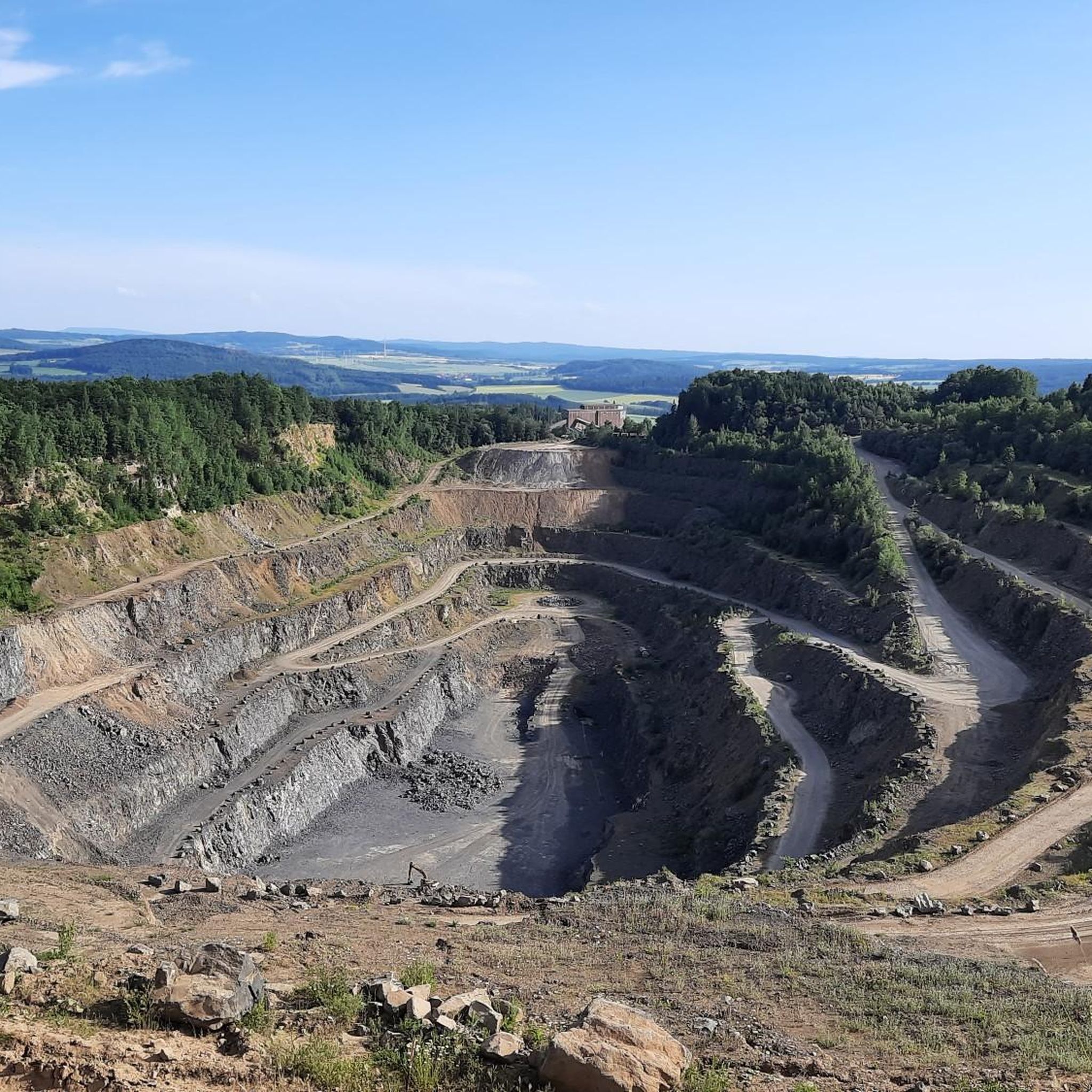
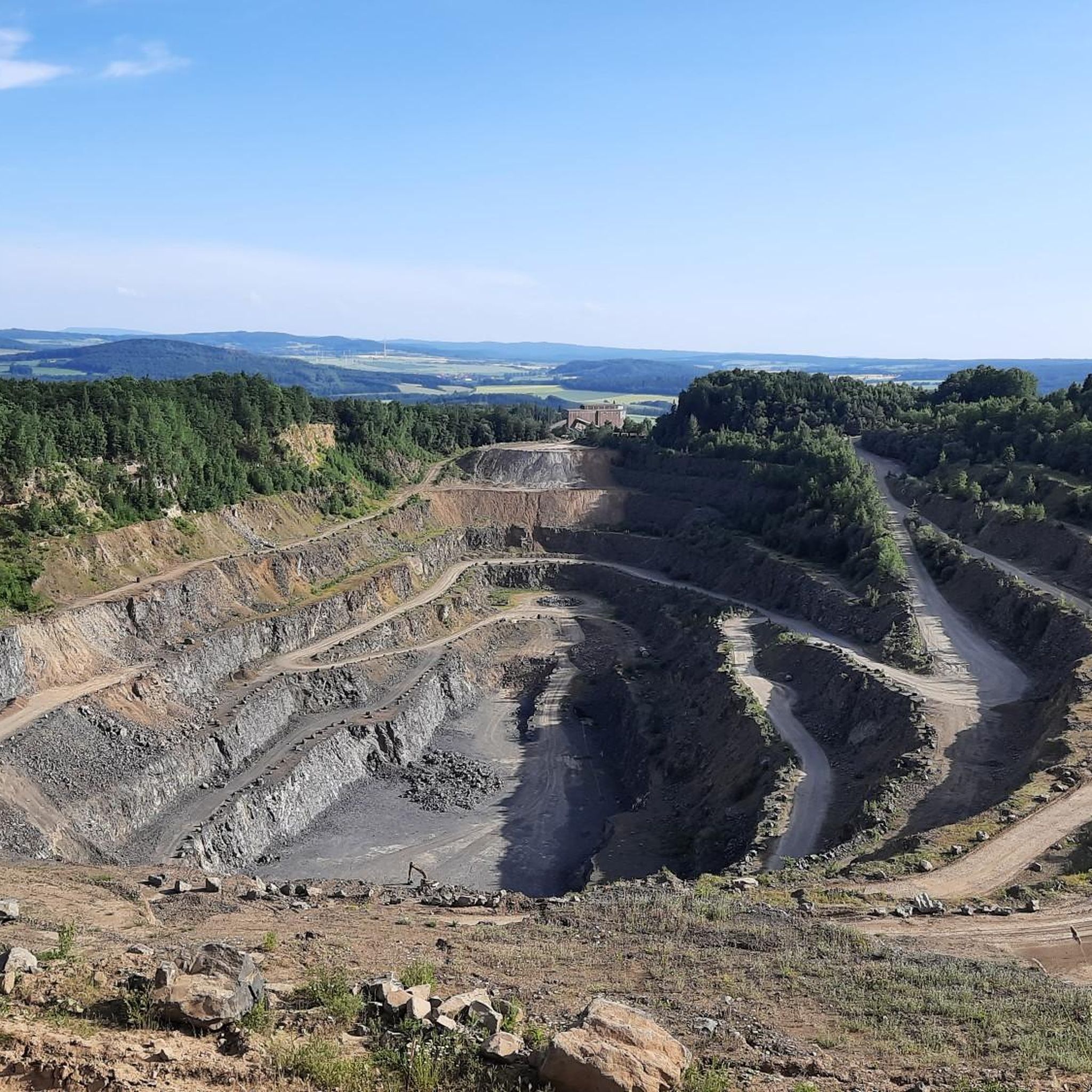
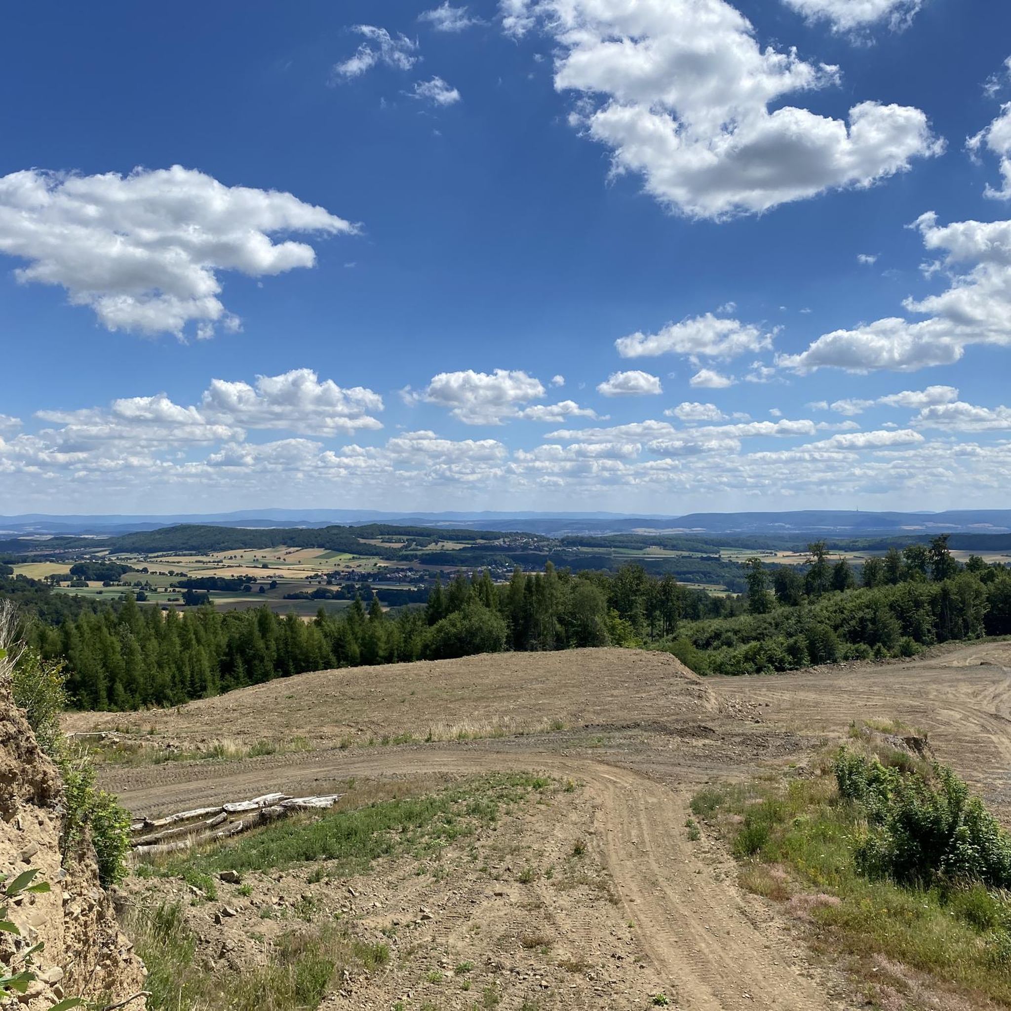
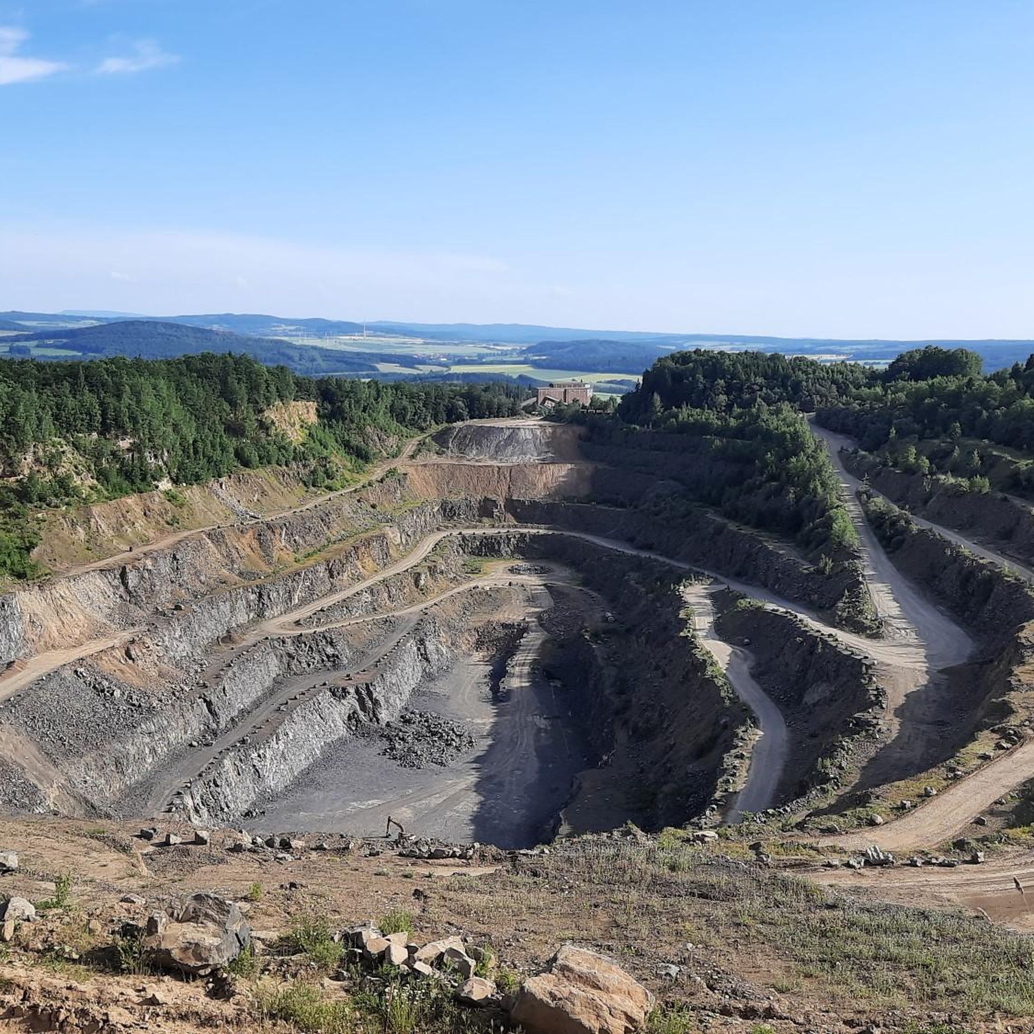

Tips from the Community


A small battle with a rewarding descent after the work is done
1
0

A wonderful resting place with a summit cross and a great view, the way here is always worth it
5
0

Beautiful descent to Jühnde, but be careful when it's wet! The potential for falls, especially at the Tour d'Energie, is there.
2
0

The ascent is directly opposite the Staufenberghütte!
1
1

Nice place, recently again with a kiosk and coffee.
3
0

Wonderful climb with three ramps. Always part of the Tour d'Energie. The descent to Jühnde and towards Mariengarten is worth the effort.
2
0

Here is the highest point of the Staufenberg at 472m. I did not find a direct path here, I walked cross-country. But there was also a lot of snow. From up here you have no special view. There is only one stone to admire.
4
2
Frequently Asked Questions
What kind of mountain peaks can I expect to find around Adelebsen?
The landscape around Adelebsen is shaped by ancient volcanic activity, so you'll find scenic hills and former volcanic formations rather than towering alpine peaks. These geological features create a varied and attractive landscape of volcanic mountains and forests, offering unique natural beauty and historical significance.
What are some notable viewpoints in the Adelebsen area?
One of the most popular viewpoints is the Gauß Tower on Hoher Hagen, which offers a great perspective above Scheden. Another excellent spot is the Gauss Tower on Hohen Hagen, a transmission and observation tower providing wide views from southeast to southwest.
Are there any historical sites related to the mountain peaks around Adelebsen?
Yes, the Gauss Tower on Hoher Hagen is a significant historical site. At 493 meters, the Hohe Hagen is the highest mountain in southern Lower Saxony, known for its volcanic origin and basalt rock. It gained fame through the land surveying work of C. F. Gauß. Additionally, the Northern meridian marker near Groß Schneen is another historical monument related to the old Gauss observatory.
What outdoor activities are available near the peaks around Adelebsen?
The area offers a variety of outdoor activities. You can explore numerous routes for gravel biking, running, and mountain biking. For example, there are extensive gravel biking routes like the 'Schwülmetal Nature Trail' and 'View of the River Fulda' loops. Runners can enjoy running trails such as the 'St. Petri Church Lödingsen' loops, and mountain bikers have options like the 'Schwülmetal Nature Trail' and 'Adelebsen Castle' loops found in the MTB Trails around Adelebsen guide.
Are there family-friendly options for visiting the peaks?
Yes, several highlights are considered family-friendly. Both the Gauß Tower on Hoher Hagen and the Gauss Tower on Hohen Hagen are suitable for families, offering accessible viewpoints and facilities.
What is the geological significance of the Adelebsen region's peaks?
The Adelebsen region is notable for its geological past, characterized by former volcanic activity. Hills like the Bramburg, Grefenburg, Ossenberg, and Backenberg are ancient volcanic formations, with the Bramburg being an old volcanic mountain where basalt has been quarried for over 150 years. This history makes the area unique as one of the northernmost volcanic regions in Germany.
What is the highest point in the southern Lower Saxony region near Adelebsen?
The Hohe Hagen, where the Gauss Tower stands, is the highest mountain in southern Lower Saxony, reaching 493 meters. It's known for its volcanic origin and basalt rock.
Can I find challenging hikes or climbs around Adelebsen?
While many routes are moderate, some areas offer more challenging experiences. For instance, reaching the Staufenberg Summit Stone (472 m) is described as challenging, often requiring off-trail navigation, especially in winter conditions.
What do visitors particularly enjoy about the mountain peaks around Adelebsen?
Visitors appreciate the unique blend of natural beauty and historical significance. The area's volcanic landscape, scenic views from spots like the Gauss Towers, and the opportunity to explore trails that trace geological and historical landmarks are highly valued by the komoot community.
Are there any specific trails that offer good views of the volcanic formations?
The Panorama Trail, which runs from Löwenhagen to Adelebsen, is known for providing excellent views of the region's ancient volcanic formations. This trail offers a great way to experience the distinctive topography and natural beauty of the area.
What kind of terrain should I expect on trails around Adelebsen's peaks?
The terrain around Adelebsen primarily consists of rolling hills and forested paths, reflecting its volcanic origin. You can expect varied surfaces, from well-maintained trails to more natural, sometimes challenging, sections, especially around the former volcanic sites.
Most popular routes around Adelebsen
Most popular attractions around Adelebsen

Get inspired with the komoot mobile app


Explore more
See even more amazing summits around Adelebsen with these guides:
