The best walks and hikes in Rathtrevor Beach Provincial Park
4.5
(23)
260
hikers
24
hikes
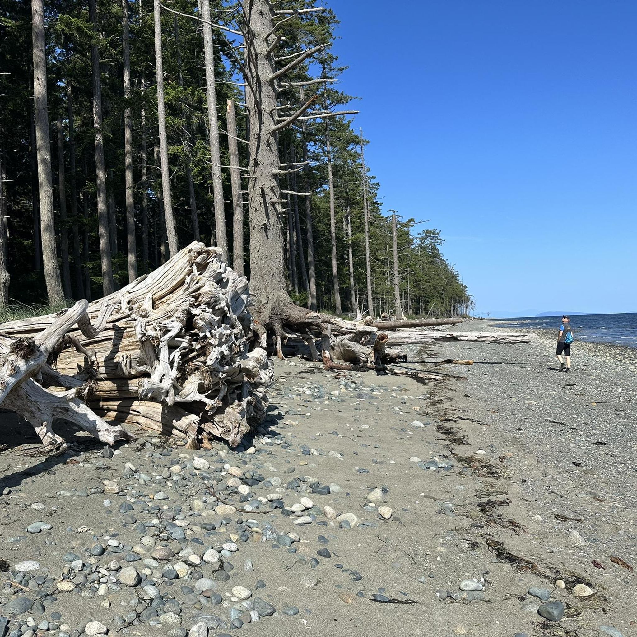
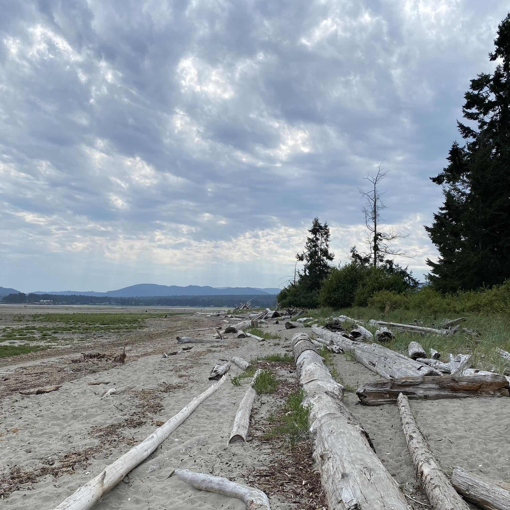
Hiking in Rathtrevor Beach Provincial Park, located on Vancouver Island in British Columbia, features diverse landscapes for outdoor exploration. The park is characterized by expansive sandy beaches, old-growth Douglas fir and grand fir forests, and coastal views of the Salish Sea. Trails wind through varied ecosystems, including lush rainforest floors and marshlands, with minimal elevation changes.
Best hiking trails in Rathtrevor Beach Provincial Park
- The most popular hiking route is Hiking loop from Rathtrevor Beach Provincial Park, a 3.1 miles (5.0 km) trail that takes 1 hour 19 minutes to complete. This easy loop explores the park's varied forest and coastal sections.
- Another top favourite among local hikers is Kw’a’luxw River Estuary loop from San Pareil, an easy 3.5 miles (5.6 km) path. This route offers views of the estuary and surrounding natural areas.
- Local hikers also love the Kw’a’luxw River Estuary – Rathtrevor Beach Parking loop from Parksville, a 5.4 miles (8.7 km) trail leading through coastal areas and forest, often completed in about 2 hours 17 minutes.
- Hiking in Rathtrevor Beach Provincial Park is defined by old-growth forests, extensive sandy beaches, and diverse coastal ecosystems. The network offers options for both easy and moderate ability levels.
- The routes in Rathtrevor Beach Provincial Park are highly rated by the komoot community with an average score of 4.6 stars from around 20 reviews. More than 200 hikers have used komoot to explore Rathtrevor Beach Provincial Park's varied terrain.
Last updated: September 24, 2026
5.0
(1)
43
hikers
Easy hike. Great for any fitness level. Easily-accessible paths. Suitable for all skill levels.
14
hikers
8.37km
02:12
70m
70m
Moderate hike. Good fitness required. Easily-accessible paths. Suitable for all skill levels.

11
hikers
Easy hike. Great for any fitness level. Easily-accessible paths. Suitable for all skill levels.
3.0
(1)
9
hikers
Moderate hike. Good fitness required. Easily-accessible paths. Suitable for all skill levels.
4.6
(10)
40
hikers
7.80km
02:03
60m
60m
Moderate hike. Good fitness required. Easily-accessible paths. Suitable for all skill levels.
Get access to more routes and recommendations from other explorers.
Already have an account?
Our route recommendations are based on thousands of hikes, rides, and runs completed by other people on komoot.
Start today with a free account
Your next adventure awaits.
Popular around Rathtrevor Beach Provincial Park

Tips from the Community


Beautiful view of the open sea
0
0

Top Bridge Community Park is a small park located along the banks of the Englishman River. It’s best known for its suspended bridge spanning the river, and is also home to scenic hiking trails that wind through the forest and along the river’s edge.
0
0
The Englishman River begins on the eastern slopes of the Beaufort Range and flows 40 kilometers to the Strait of Georgia. The river is home to several species of salmon and serves as a primary water source for residents of the town of Parksville.
0
0
Englishman River Regional Park is a 205-hectare park located along the banks of the Englishman River. The park features scenic trails for hikers and cyclists, along with river access for salmon fishing.
0
0

Frequently Asked Questions
How many hiking trails are there in Rathtrevor Beach Provincial Park?
Rathtrevor Beach Provincial Park offers a network of over 15 hiking trails. These routes cater to various preferences, winding through diverse landscapes from ancient forests to coastal areas.
What is the general difficulty of hiking trails in Rathtrevor Beach Provincial Park?
The majority of trails in Rathtrevor Beach Provincial Park are considered easy, with 13 out of 17 routes falling into this category. There are also 4 moderate trails, making the park accessible for a wide range of hikers.
Are there any easy hiking trails suitable for families?
Yes, many trails are suitable for families due to their easy difficulty and minimal elevation changes. An excellent option is the Parksville Beach Viewpoint loop from Parksville, which is an easy 2.9 km path. The park's trails are generally well-maintained and often wheelchair accessible in parts, making them ideal for family outings.
Can I bring my dog on the trails in Rathtrevor Beach Provincial Park?
While the park is generally dog-friendly, dogs must be kept on a leash at all times to protect wildlife and ensure the safety of other visitors. Please remember to clean up after your pet.
Are there any loop trails available for hiking?
Yes, Rathtrevor Beach Provincial Park features several enjoyable loop trails. A popular choice is the Hiking loop from Rathtrevor Beach Provincial Park, an easy 5.0 km route that explores both forest and coastal sections. Another option is the Kw’a’luxw River Estuary loop from San Pareil, an easy 5.6 km path offering estuary views.
What kind of scenery can I expect to see while hiking?
Hikers can expect a diverse range of scenery, including towering old-growth Douglas fir and grand fir trees, lush rainforest floors, and coastal views of the Salish Sea. The park also features marshland, meadows, and a stunning two-kilometer sandy beach that extends nearly a kilometer out at low tide.
Is Rathtrevor Beach Provincial Park a good place for wildlife spotting?
Absolutely. The park is a haven for wildlife. Along the shoreline, you might spot seals, otters, and eagles. In spring, it's renowned for bird watching, especially for migrating Brant geese and seabirds during the annual herring spawn. Deer, raccoons, squirrels, mink, and owls can also be found within the forests.
What is the best time of year to go hiking in the park?
The park is enjoyable year-round, but spring (February to April) is particularly special for bird watching, especially for migrating Brant geese. The summer months offer warm waters for swimming after a hike. The old-growth forests provide shaded corridors, making hiking pleasant even on warmer days.
Are there facilities like parking available at the trailheads?
Yes, Rathtrevor Beach Provincial Park offers large day-use and picnicking areas, which include ample parking for visitors accessing the trails and beach. These facilities make it convenient for day trips and family outings.
What do other hikers say about the trails in Rathtrevor Beach Provincial Park?
The trails in Rathtrevor Beach Provincial Park are highly rated by the komoot community, with an average score of 4.6 stars from nearly 20 reviews. Hikers often praise the park's diverse ecosystems, the serene old-growth forests, and the expansive, beautiful beach.
Beyond hiking, what other activities can I enjoy in the park?
Besides hiking, the park offers a variety of outdoor activities. The expansive sandy beach is perfect for beachcombing and swimming at high tide. The calm waters are also suitable for kayaking, canoeing, skimboarding, and paddleboarding. Camping and picnicking are popular, and the park is excellent for wildlife viewing.
Are there any educational opportunities or visitor centers in the park?
Yes, the park features a Nature House, which serves as an interpretive center. It provides educational exhibits about the region's ecology and wildlife, and offers programs like Jerry's Rangers for children, focusing on appreciating and caring for nature.
How long do hikes typically take in Rathtrevor Beach Provincial Park?
Hikes in the park vary in length and duration. For example, an easy 5.0 km loop like the Hiking loop from Rathtrevor Beach Provincial Park typically takes around 1 hour and 19 minutes. Longer, moderate routes such as the Kw’a’luxw River Estuary – Rathtrevor Beach Parking loop from Parksville (8.7 km) can take about 2 hours and 17 minutes.
Most popular routes in Rathtrevor Beach Provincial Park

Get inspired with the komoot mobile app


Explore more
Browse the best Hikes in other regions.
