The best walks and hikes around Höri
4.6
(2665)
15,774
hikers
696
hikes
Hiking around Höri offers diverse landscapes on a peninsula located on Lake Constance, between Radolfzell and Stein am Rhein. The region features an 18-kilometer shoreline with reed-fringed areas, meadows, and forests. The local Schienerberg hill, reaching 715 meters, is classified as pre-alpine hill and moorland, providing a network of paths within a nature reserve. This area combines varied terrain with scenic views of Lake Constance.
Best hiking trails around Höri
- The most popular hiking route is Neeracher Ried Nature Reserve loop from Niederglatt, an easy 2.3 miles (3.7 km) trail that takes about 56 minutes to complete, exploring a tranquil nature reserve.
- Another top favourite among local hikers is Chellerhal single trail – The Glatt near Glattfelden loop from Bülach, a moderate 5.2 miles (8.3 km) path. This route follows a single trail along the Glatt river, offering varied terrain.
- Local hikers also love the Neeracher Ried Nature Reserve loop from Steinmaur, a 2.3 miles (3.7 km) trail leading through the Neeracher Ried Nature Reserve, often completed in about 56 minutes.
- Hiking around Höri is defined by the Lake Constance shoreline, the forested Schienerberg hill, and extensive nature reserves. The network offers options for various ability levels, from easy loops to moderate trails.
- The routes in Höri are highly rated by the komoot community with an average score of 4.6 stars from over 2,300 reviews. More than 15,000 hikers have used komoot to explore Höri's varied terrain.
Last updated: October 4, 2026
4.1
(16)
78
hikers
3.70km
00:56
10m
10m
Easy hike. Great for any fitness level. Easily-accessible paths. Suitable for all skill levels.
5.0
(2)
23
hikers
Moderate hike. Good fitness required. Easily-accessible paths. Suitable for all skill levels.

4.0
(15)
81
hikers
3.73km
00:57
10m
10m
Easy hike. Great for any fitness level. Easily-accessible paths. Suitable for all skill levels.
4.5
(4)
13
hikers
Easy hike. Great for any fitness level. Easily-accessible paths. Suitable for all skill levels.
4.0
(1)
16
hikers
7.10km
01:49
30m
30m
Easy hike. Great for any fitness level. Easily-accessible paths. Suitable for all skill levels.
Get access to more routes and recommendations from other explorers.
Already have an account?
Our route recommendations are based on thousands of hikes, rides, and runs completed by other people on komoot.
Start today with a free account
Your next adventure awaits.
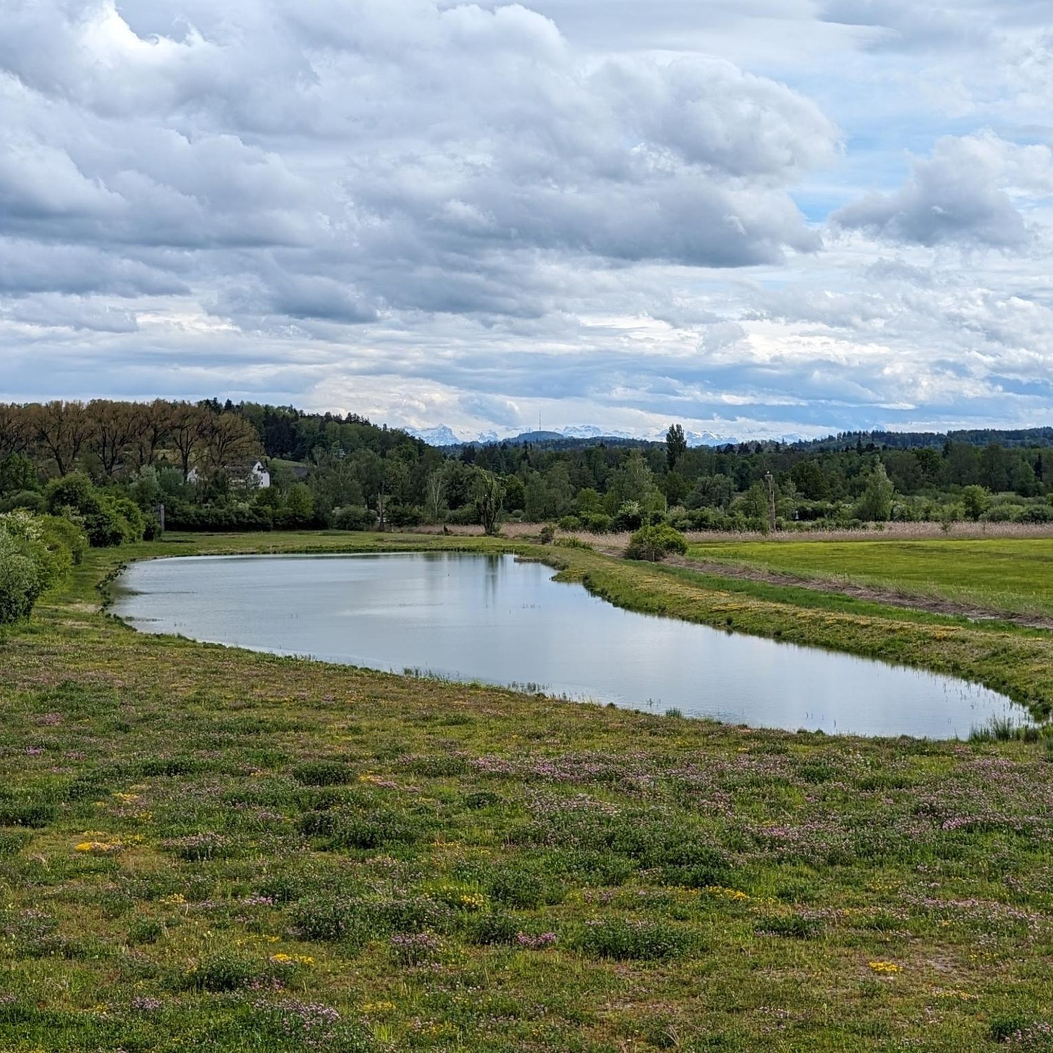
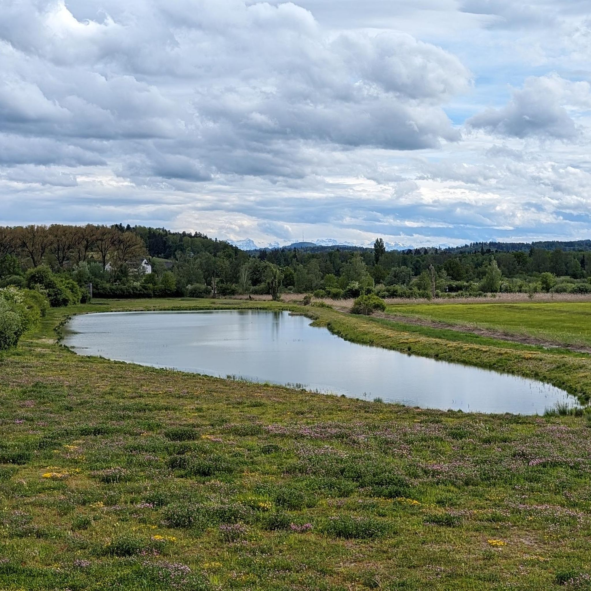
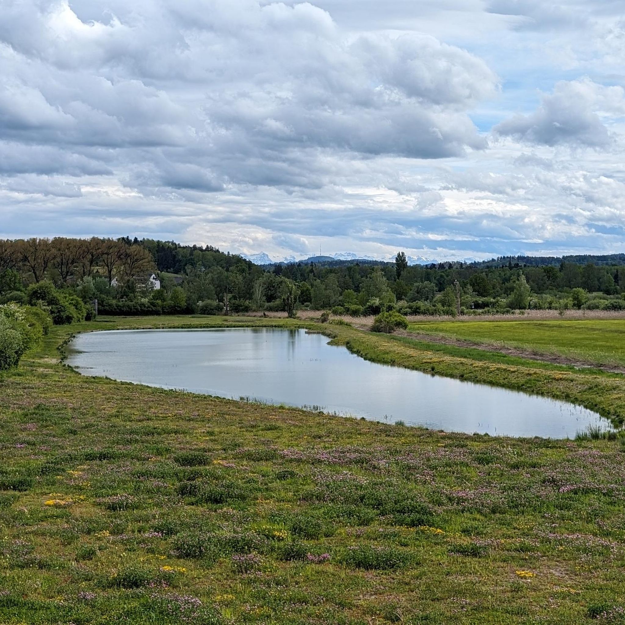

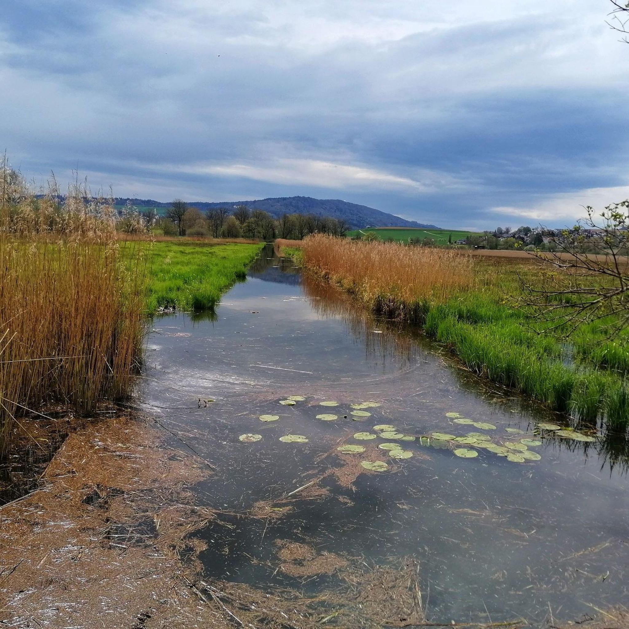
Tips from the Community

These highland cattle are used here as "lawnmowers" to maintain the marshy to wet moorland areas.
1
0
Located in the upper northern part of the Neeracherriede nature reserve, it is less busy here.
1
0
Two-story bird watching tower with views of the vast Neeracherried.
0
0
Open only Wednesday afternoon and on the weekend, otherwise closed. Entrance 8 CHF. If closed, unfortunately, there is also no access to the jetties out onto the water.
2
0

Nature reserve of national importance, with observation stations.
0
0

Great cycle path, super beautiful region
0
0

Beautiful morning atmosphere
0
0

Beautiful in every season. There is always something to discover.
1
0
Frequently Asked Questions
What kind of hiking trails can I expect in Höri?
Höri offers a diverse range of hiking trails, from easy loops along the Lake Constance shoreline to more challenging paths on the forested Schienerberg hill. The region features varied terrain including reed-fringed areas, meadows, and forests, with many routes passing through nature reserves. There are over 700 routes available, catering to various ability levels.
Are there any easy, family-friendly hikes in Höri?
Yes, Höri has many easy routes suitable for families. For instance, the Neeracher Ried Nature Reserve loop from Niederglatt is an easy 3.7 km trail that takes about an hour to complete, perfect for exploring a tranquil nature reserve. Another option is the View of Neeracher Ried – Neeracher Ried Nature Reserve loop from Neerach, an easy 5.8 km route.
What are the best times of year to go hiking in Höri?
The Lake Constance region, including Höri, is known for having a high number of sunny days, making it pleasant for hiking throughout much of the year. Spring and autumn offer mild temperatures and beautiful scenery, while summer is ideal for combining hikes with lake activities. Even winter can be enjoyable for crisp walks, though some trails might be less accessible.
Are there any circular hiking routes in Höri?
Yes, circular routes are a popular option in Höri. A notable choice is the Blue Glatt Bridge, Niederglatt loop from Niederglatt, an easy 7.1 km trail. The peninsula itself is well-suited for circular walks, with paths leading through meadows, forests, and along Lake Constance.
What natural features or landmarks can I see while hiking in Höri?
Höri offers a variety of natural features and landmarks. You can explore the diverse landscapes of the Höri Peninsula with its 18 kilometers of shoreline and reed-fringed areas. The Schienerberg, a local mountain, provides extensive paths within a nature reserve. Nearby attractions include the Neeracherried – a bird paradise and the Neeracherried Nature Reserve. Other points of interest include the Töss Riverbank and the unique Spaltenflue gorge.
What do other hikers say about the trails in Höri?
The hiking routes in Höri are highly regarded by the komoot community, with an average rating of 4.6 stars from over 2,300 reviews. Hikers often praise the diverse landscapes, the scenic views of Lake Constance, and the well-maintained network of trails that cater to various fitness levels.
Are there any challenging hikes in Höri for experienced hikers?
While many trails are easy to moderate, Höri does offer some more challenging options, particularly on the Schienerberg hill. The region has 22 routes classified as difficult, providing opportunities for experienced hikers to tackle more significant elevation changes and longer distances. An example of a moderate route is the Chellerhal single trail – The Glatt near Glattfelden loop from Bülach, which is 8.3 km long with notable elevation changes.
Can I bring my dog on the hiking trails in Höri?
Höri is generally dog-friendly, with many trails suitable for walks with your canine companion. However, specific leash rules may apply, especially within nature reserves like the Schienerberg or Neeracher Ried, to protect wildlife. Always check local signage for regulations.
Are there places to eat or stay near the hiking trails in Höri?
The Höri peninsula is home to charming villages such as Moos, Öhningen, and Gaienhofen. These villages offer various amenities including cafes, pubs, restaurants, and accommodation options, making it convenient to find refreshments or a place to stay after your hike.
How can I get to the hiking trailheads in Höri using public transport?
The Höri peninsula is accessible by public transport, connecting its villages like Gaienhofen, Hemmenhofen, Moos, and Wangen. Buses operate in the region, providing access to various trailheads. It's advisable to check local bus schedules for specific routes and timings to plan your journey to the starting points of the hikes.
Are there any cultural attractions to visit in Höri after a hike?
Yes, for those interested in combining culture with their outdoor pursuits, the Hermann Hesse Museum in Gaienhofen is a notable attraction on the peninsula. The picturesque villages themselves also offer a glimpse into the local culture and history.
What is the highest point I can reach on a hike in Höri?
The local mountain on the Höri peninsula, Schienerberg, reaches an altitude of 715 meters. Hiking trails on Schienerberg will take you to the highest points in the region, offering panoramic views of the surrounding landscape and Lake Constance.
Most popular attractions around Höri

Get inspired with the komoot mobile app


Explore more
Browse the best Hikes in other regions.
