The best cycling routes in River Valley Area
4.6
(198)
1,975
riders
18
rides
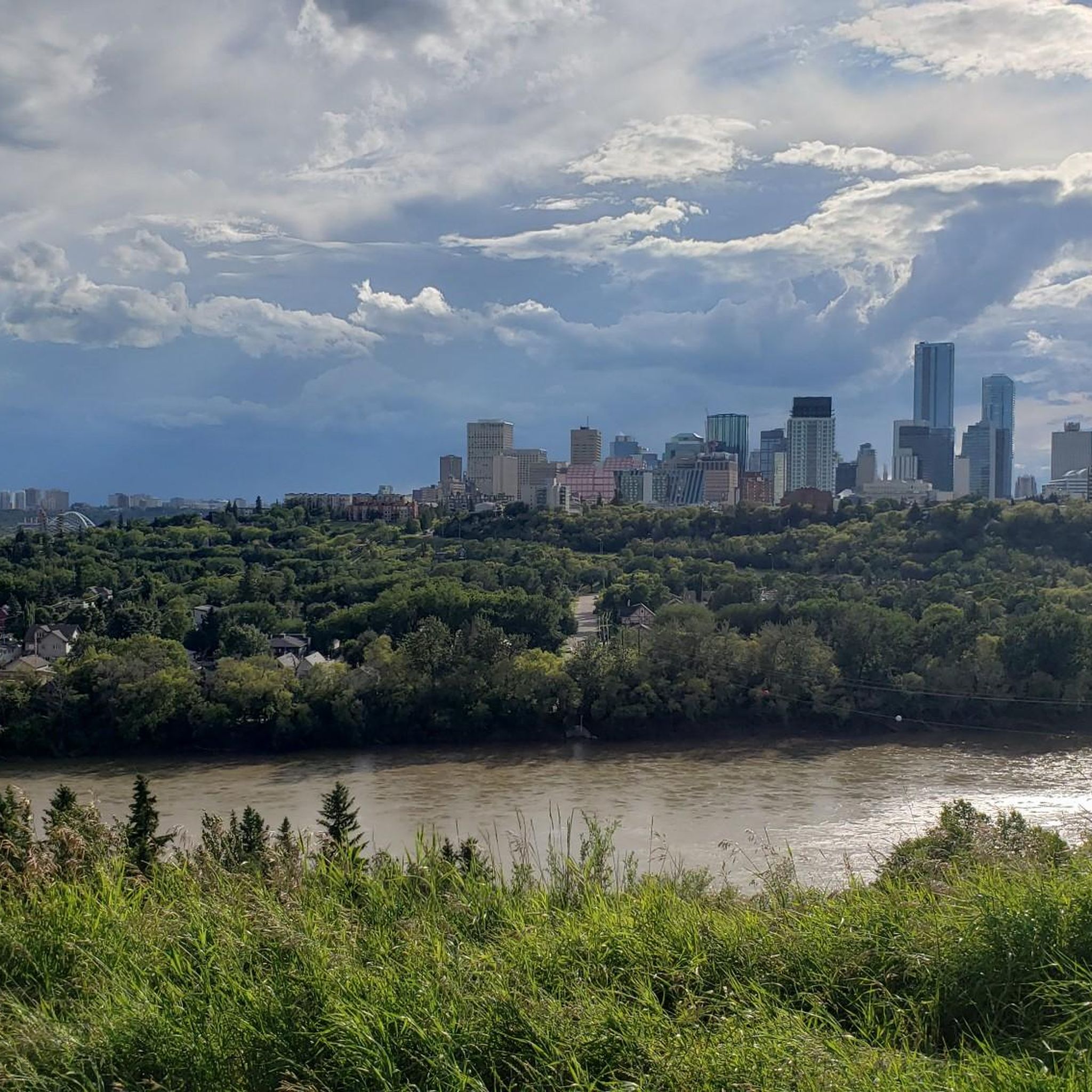
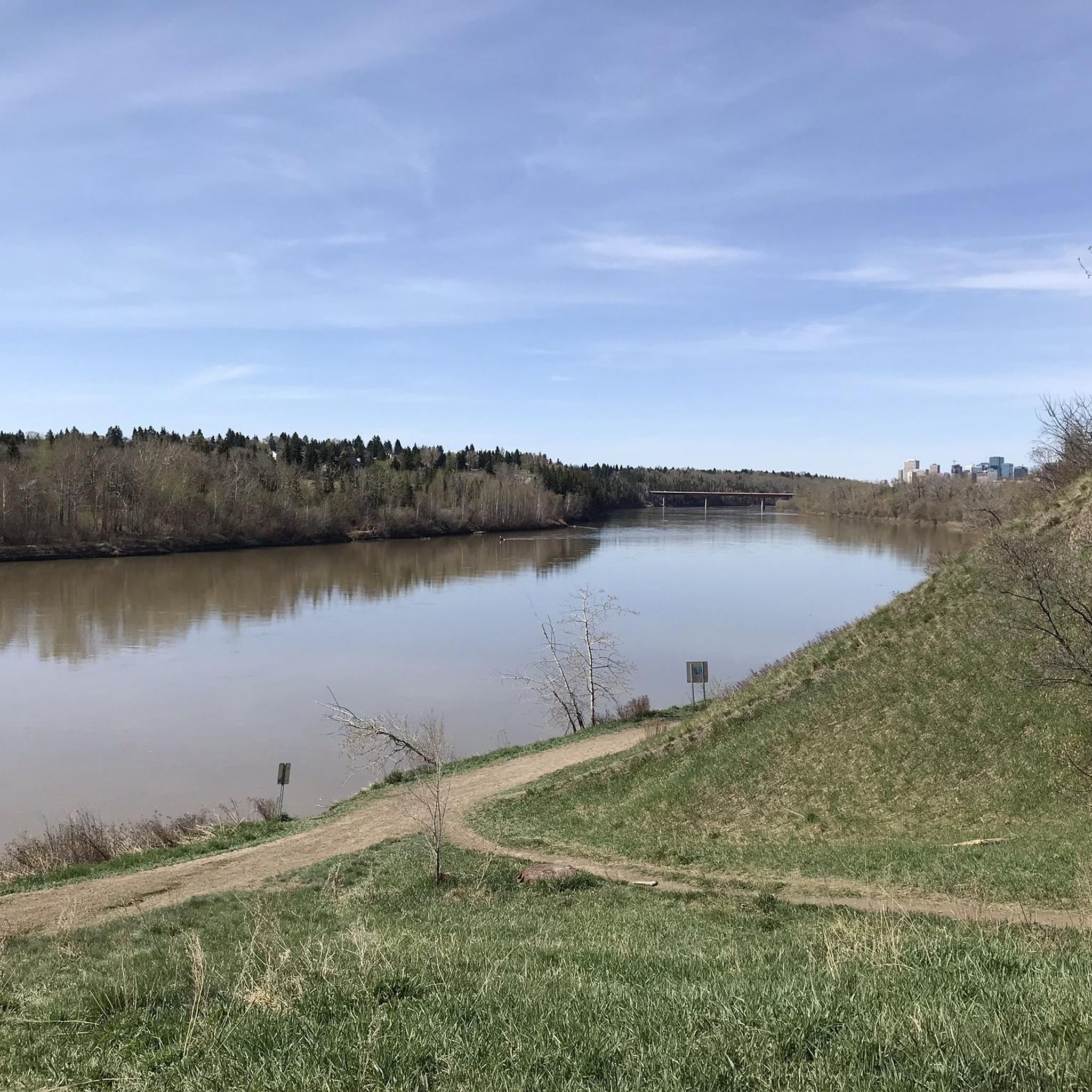
Touring cycling in River Valley Area offers diverse landscapes shaped by its central river and surrounding topography. The region features a mix of relatively flat floodplains, rolling hills, and bluffs, providing varied terrain for cyclists. Extensive forested lands offer shade and scenic views, while agricultural areas provide peaceful rides through the countryside. Many routes utilize converted rail trails, offering well-maintained paths suitable for different skill levels.
Best touring cycling routes in River Valley Area
- The most popular touring cycling route…
Last updated: October 2, 2026
4.7
(3)
29
riders
53.3km
03:26
390m
390m
Moderate bike ride. Good fitness required. Mostly paved surfaces. Suitable for all skill levels.
25
riders
22.5km
01:23
190m
190m
Moderate bike ride. Good fitness required. Mostly paved surfaces. Suitable for all skill levels.

4.0
(1)
19
riders
Hard bike ride. Great for any fitness level. You may need to push your bike for some segments of this route.
5.0
(1)
6
riders
Moderate bike ride. Good fitness required. Mostly paved surfaces. Suitable for all skill levels.
12
riders
13.5km
01:00
160m
160m
Hard bike ride. Good fitness required. You may need to push your bike for some segments of this route.
Get access to more routes and recommendations from other explorers.
Already have an account?
Our route recommendations are based on thousands of hikes, rides, and runs completed by other people on komoot.
Start today with a free account
Your next adventure awaits.
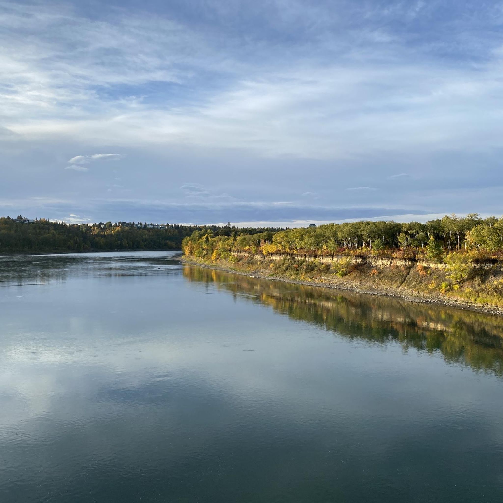
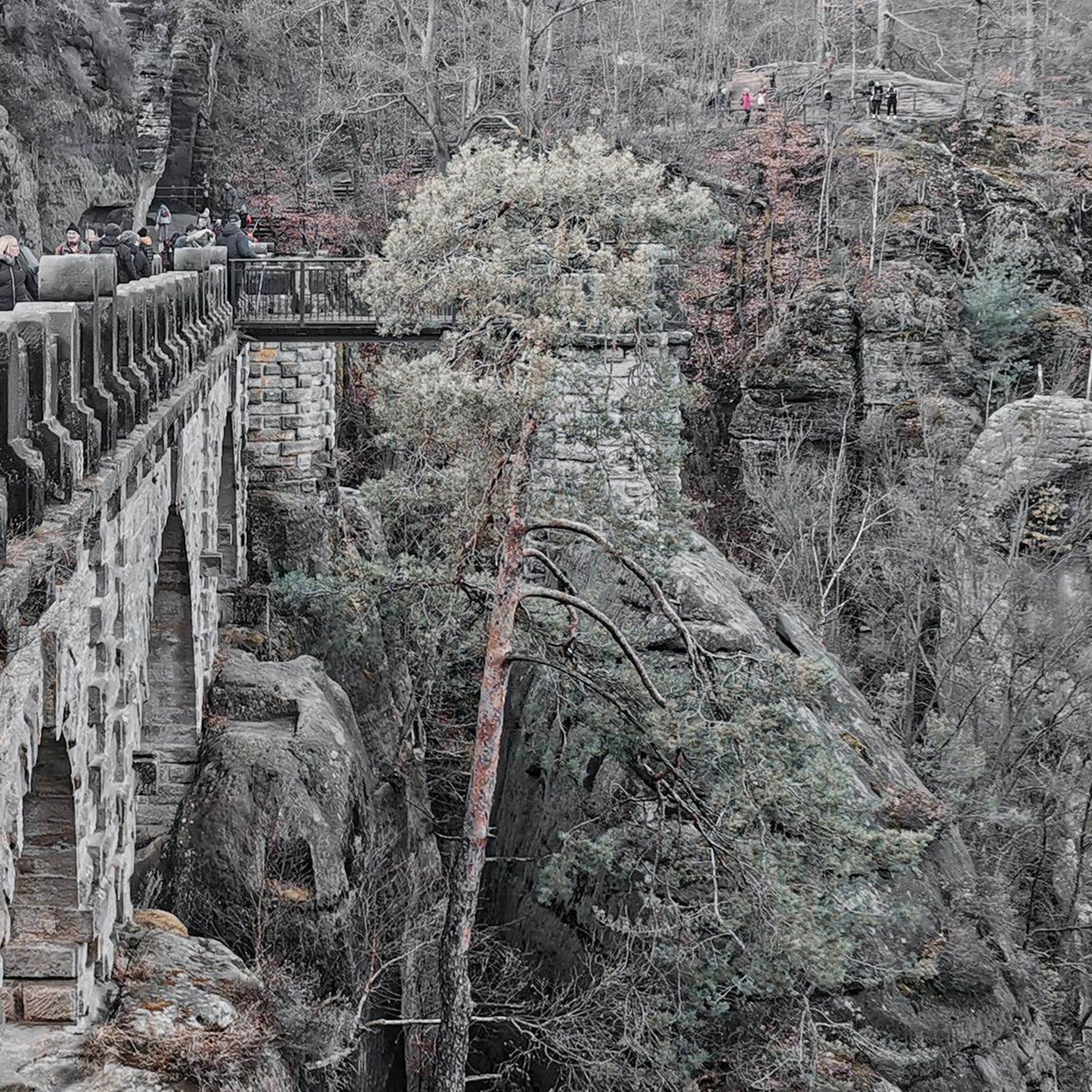
Other adventures in River Valley Area

Tips from the Community

Terwillegar Park Footbridge is the longest stressed ribbon bridge in Canada and the second longest such bridge in the entire world. Opened in 2016, it's 262 metres (860 ft) long and provides lovely views across the Saskatchewan River. The overall cost of the build was just less than $25 million.
1
0

Nice spot to take a break and enjoy the scenery.
0
0
Great for accessing Hawrelak Park and the UofA from the north side of the river.
0
0

Government House Park sits on the banks of the North Saskatchewan River, offering a peaceful escape within Edmonton’s river valley. Known for its wide paved paths and river views, the park is a popular with cyclists and walkers and its trails connect to the city's extensive trail system. While it once hosted a ski hill in the 1960s, today the landscape is better known for its open picnic areas, river views, and winter toboggan hill.
1
0

Groat Bridge spans the North Saskatchewan River, carrying traffic and pedestrians between the river valley communities of Glenora and Mayfair. Opened in 1955, the twin-span structure offers fantastic elevated views of the surrounding parkland. Recent upgrades have widened its shared-use path, making it a key crossing for both commuters and recreational users.
0
0

The Ainsworth Dyer Memorial Bridge is a scenic crossing and a touch of local history. Named in honor of Ainsworth Dyer, a prominent figure in Edmonton’s community, the bridge connects trails on either side of the river, making it popular for walking, jogging, and cycling. From the bridge, you can enjoy sweeping views of the river valley and the surrounding parks.
0
0
Fraser Park is in the Fraser neighbourhood and has an area of 3.04 ha. Like other neighbourhoods in the Clareview subdivision, Fraser is named for an Edmonton pioneer. John Fraser (1840-1919) was the son of Hudson's Bay officer Colin Fraser. Born at Jasper House, Fraser apprenticed to the Hudson's Bay Company as a boat builder and dog driver. In 1871, Fraser moved to the "lower settlement" (now known as Highlands neighbourhood) and homesteaded there.
0
0
Between 1969 and 1979, the City of Edmonton acquired parcels of land in the Hermitage area. By 1979 the area had been turned into a park and included in the Capital City Recreation Park system. Hermitage Park is in the Hermitage subdivision and has an area of 36.81 ha. The first district headquarters of the Church of England was established in this area in the late 1800s by the Rev. Canon William Newton (1828-1912). Newton called the settlement The Hermitage (the home of a hermit or a secluded dwelling). The Canon Ridge, Homesteader and Overlanders neighbourhoods are within the Hermitage subdivision.
0
0
Frequently Asked Questions
What kind of terrain can I expect when touring cycling in the River Valley Area?
The River Valley Area offers a diverse landscape for touring cyclists. You'll find relatively flat floodplains along the river, rolling hills, and bluffs. Many routes utilize converted rail trails, which are typically well-maintained and offer smoother rides. Expect a mix of paved, gravel, and unpaved surfaces, with extensive forested lands providing shade and scenic views, and agricultural areas offering peaceful rides through the countryside.
Are there routes suitable for beginners or families in the River Valley Area?
Yes, the River Valley Area has several easy touring cycling routes perfect for beginners and families. For example, the Terwillegar Park Footbridge – Fort Edmonton Footbridge loop from Park Gates is an easy 10.5 km path. Many rail trails in the region, such as the Buffalo Valley Rail Trail mentioned in the region research, are also ideal for leisurely rides due to their flat and well-maintained nature.
What are some challenging touring cycling routes in the River Valley Area?
For those seeking a challenge, the River Valley Area offers routes with more significant elevation changes. The Terwillegar Park Footbridge – Fort Edmonton Footbridge loop from Riverbend is classified as difficult, featuring varied terrain. The region's bluffs and rolling hills provide opportunities for more strenuous climbs and descents.
What natural features or landmarks can I see along the cycling routes?
The River Valley Area is rich in natural beauty and interesting landmarks. You can explore stunning natural features like Mill Creek Ravine, MacKenzie Ravine, and Whitemud Creek Ravine. Man-made highlights include the High Level Bridge and the Kâhasinîskâk Pedestrian Bridge. Many routes also pass through forested areas, offering wildlife viewing, and charming historic towns.
Are there any circular touring cycling routes available?
Yes, many touring cycling routes in the River Valley Area are designed as loops, allowing you to start and end at the same point. Popular examples include the Walterdale Bridge – Victoria Park loop from Fulton Place, the Walterdale Bridge – Mill Creek Ravine loop from Fort Edmonton, and the Hermitage Park – River Valley Trail Section loop from Hermitage.
What do other touring cyclists enjoy most about the River Valley Area?
The River Valley Area is highly rated by the komoot community, with an average score of 4.6 stars from over 50 reviews. Cyclists often praise the diverse landscapes, from scenic riverside paths to challenging ravine sections, and the well-maintained network of trails. The blend of natural beauty and accessible routes makes it a favorite for many.
What is the best time of year to go touring cycling in the River Valley Area?
The River Valley Area is enjoyable for touring cycling across multiple seasons. Spring and summer offer lush greenery and pleasant temperatures. Fall is particularly scenic, with vibrant foliage transforming the forested areas. While winter conditions can vary, some trails may still be accessible, though specific conditions should be checked locally.
Are there options for parking or public transport access to the cycling routes?
Many cycling routes in the River Valley Area are accessible from various points, often with designated parking areas near trailheads or parks. For specific routes, checking the starting point on komoot will usually provide details on nearby parking. Public transport options may also be available to reach certain access points, especially in and around towns within the valley.
How many touring cycling routes are there in the River Valley Area?
There are over 20 touring cycling routes available in the River Valley Area, catering to various skill levels and preferences. This includes 8 easy routes, 10 moderate routes, and 2 difficult routes, ensuring options for everyone from casual riders to experienced cyclists.
Are there any specific attractions or points of interest that are particularly good for cyclists?
Beyond the natural beauty, cyclists can enjoy passing through charming small towns, which often offer opportunities for rest and refreshments. The region is also known for its historic covered bridges in some sections, adding a unique cultural element to rides. Parks like Shikellamy State Park and Milton State Park (as mentioned in the region research) provide dedicated cycling paths and facilities.
Most popular routes in River Valley Area
Most popular attractions in River Valley Area

Get inspired with the komoot mobile app


Explore more
Browse the best Cycling routes in other regions.
