The best cycling routes in Tenancingo- Malinalco - Zumpahuacan
4.7
(19)
26
riders
8
rides
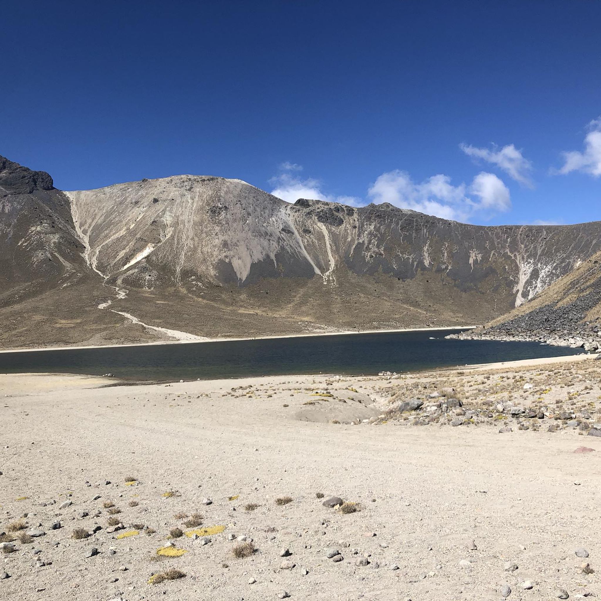
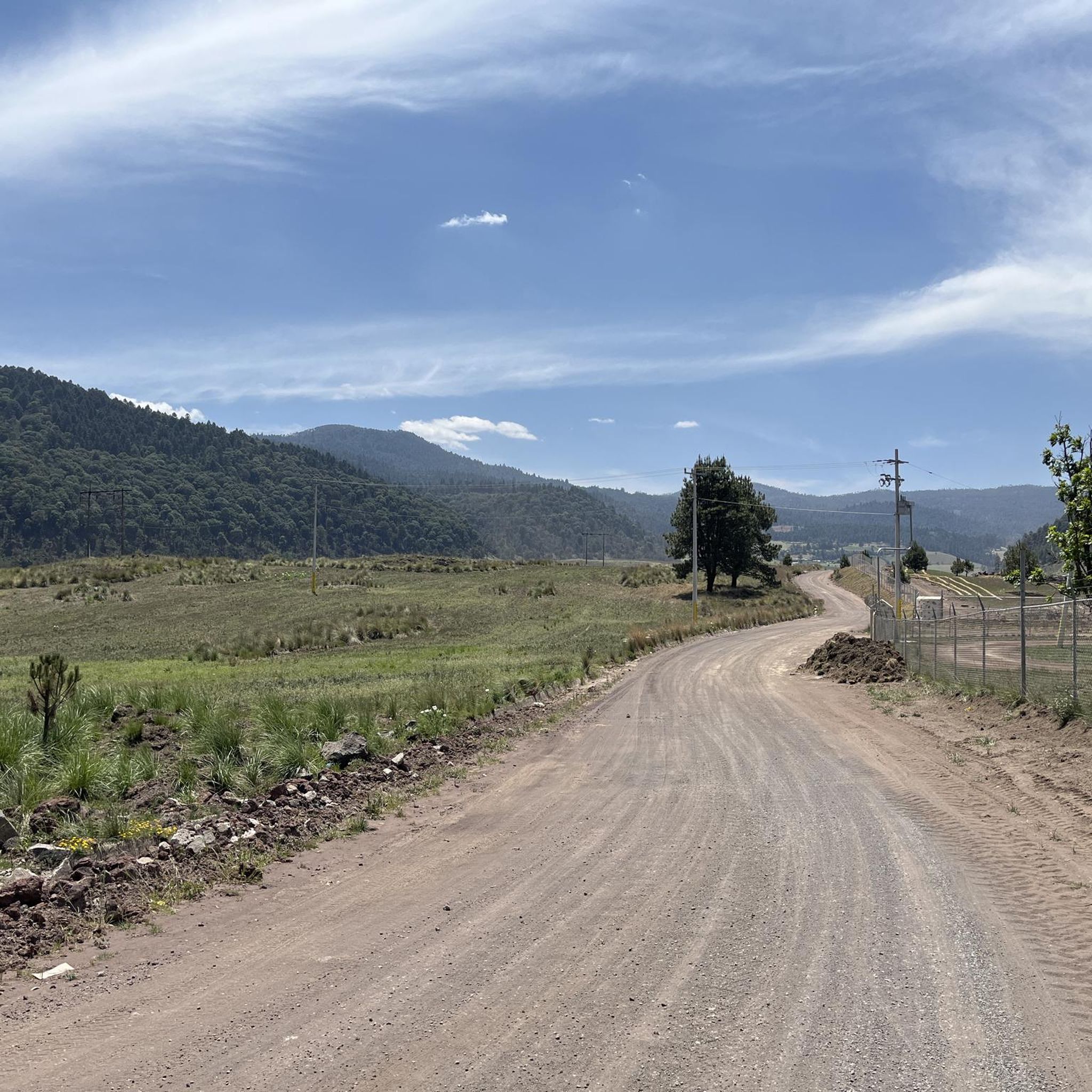
Best touring bike trails Tenancingo Malinalco Zumpahuacan traverse a landscape characterized by rolling hills and valleys, offering diverse terrain for cyclists. The region features a mix of open areas and routes that may pass through local communities. Elevations are generally moderate, with some routes including gradual ascents and descents. This area provides opportunities for touring cyclists to explore the natural and cultural elements of the Mexican countryside.
Best touring cycling routes in Tenancingo- Malinalco - Zumpahuacan
- The most popular touring…
Last updated: October 18, 2026
4.4
(10)
5
riders
22.1km
01:20
160m
160m
Moderate bike ride. Good fitness required. Mostly paved surfaces. Suitable for all skill levels.
5.0
(2)
4
riders
23.9km
01:26
180m
180m
Moderate bike ride. Good fitness required. Mostly paved surfaces. Suitable for all skill levels.

2
riders
25.2km
01:29
150m
150m
Easy bike ride. Great for any fitness level. Mostly paved surfaces. Suitable for all skill levels.
5.0
(2)
4
riders
17.9km
01:07
180m
180m
Moderate bike ride. Good fitness required. Mostly paved surfaces. Suitable for all skill levels.
5.0
(1)
4
riders
31.5km
02:16
540m
540m
Hard bike ride. Very good fitness required. Mostly paved surfaces. Suitable for all skill levels.
Get access to more routes and recommendations from other explorers.
Already have an account?
Our route recommendations are based on thousands of hikes, rides, and runs completed by other people on komoot.
Start today with a free account
Your next adventure awaits.
Popular around Tenancingo- Malinalco - Zumpahuacan
Tips from the Community

missing condition
0
1

Frequently Asked Questions
How many touring cycling routes are available in Tenancingo- Malinalco - Zumpahuacan?
There are 11 touring cycling routes documented in the Tenancingo- Malinalco - Zumpahuacan region. These routes offer a variety of experiences across the local landscape.
What kind of terrain can I expect on touring bike trails in this region?
The touring bike trails in Tenancingo- Malinalco - Zumpahuacan are characterized by rolling hills and valleys, offering diverse terrain. You'll encounter a mix of open areas and routes that may pass through local communities, with generally moderate elevations.
Are there touring cycling routes suitable for beginners or families?
Yes, there is at least one easy touring cycling route available. The Chapel of Calimaya loop from Tenango de Arista is an easy 15.7-mile (25.2 km) trail, suitable for those looking for a less strenuous ride.
Are there challenging touring cycling routes for experienced cyclists?
For experienced cyclists seeking a challenge, there are 3 difficult touring cycling routes in the region. One such route is the Cruz de San Lorenzo loop from San Francisco Tetetla, which covers 19.6 miles (31.5 km) and includes significant elevation changes.
What do other cyclists say about touring in Tenancingo- Malinalco - Zumpahuacan?
The touring cycling routes in Tenancingo- Malinalco - Zumpahuacan are highly rated by the komoot community, with an average score of 4.9 stars from more than 20 reviews. Cyclists often praise the varied terrain and the opportunity to explore the natural and cultural elements of the Mexican countryside.
Are there any circular touring cycling routes in the area?
Yes, many of the touring cycling routes in this region are designed as loops. Examples include the popular Bike loop from Pueblo Nuevo and the Bike loop from Tenancingo, both offering convenient circular journeys.
What is the best time of year to go touring cycling in Tenancingo- Malinalco - Zumpahuacan?
The region generally experiences pleasant weather for cycling for much of the year. However, the dry season, typically from November to May, often provides the most comfortable conditions with less rainfall and moderate temperatures, ideal for exploring the rolling hills.
Can I find places to eat or drink along the touring cycling routes?
Many routes in Tenancingo- Malinalco - Zumpahuacan pass through or near local communities. This means you can often find small shops, cafes, or eateries in towns like Tenancingo, Malinalco, or Zumpahuacan to refuel during your ride.
Are there touring cycling routes that offer scenic viewpoints?
Given the region's characteristic rolling hills and valleys, many routes naturally offer scenic viewpoints. While specific named viewpoints are not detailed, the diverse terrain and open areas provide ample opportunities for picturesque vistas of the Mexican countryside.
What is the typical duration for a touring bike ride in this region?
The duration of touring bike rides varies depending on the route and your pace. For example, the Chapel of Calimaya loop from Narciso Bassols typically takes about 1 hour 7 minutes to complete, while longer routes will require more time.
Are there options for parking at touring bike trailheads in Tenancingo or Malinalco?
While specific parking facilities at every trailhead are not detailed, towns like Tenancingo and Malinalco, being local communities, generally offer public parking options. It's advisable to check local regulations or designated parking areas within these towns when planning your ride.
Are the touring cycling routes in Tenancingo- Malinalco - Zumpahuacan suitable for dogs?
The suitability of routes for dogs depends on local regulations and the specific trail. While many outdoor areas are dog-friendly, it's always best to keep dogs on a leash and ensure they are comfortable with the distance and terrain. Check local signage for any restrictions.
Most popular routes in Tenancingo- Malinalco - Zumpahuacan

Get inspired with the komoot mobile app


Explore more
Browse the best Cycling routes in other regions.
