The best walks and hikes around Horperath
4.6
(4554)
15,921
hikers
633
hikes
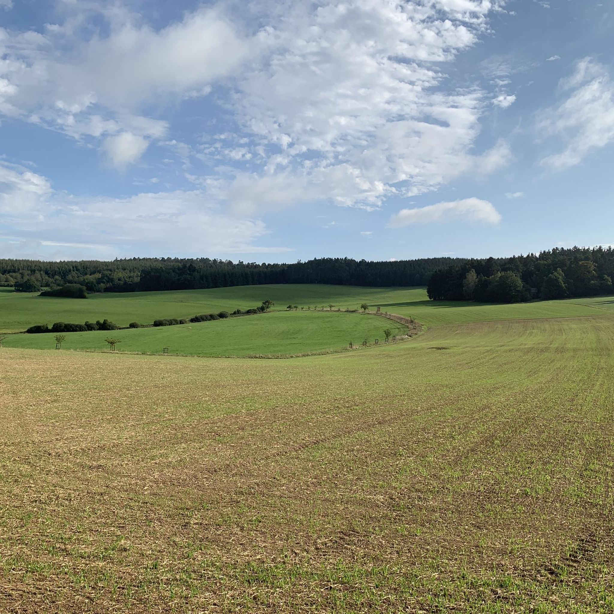
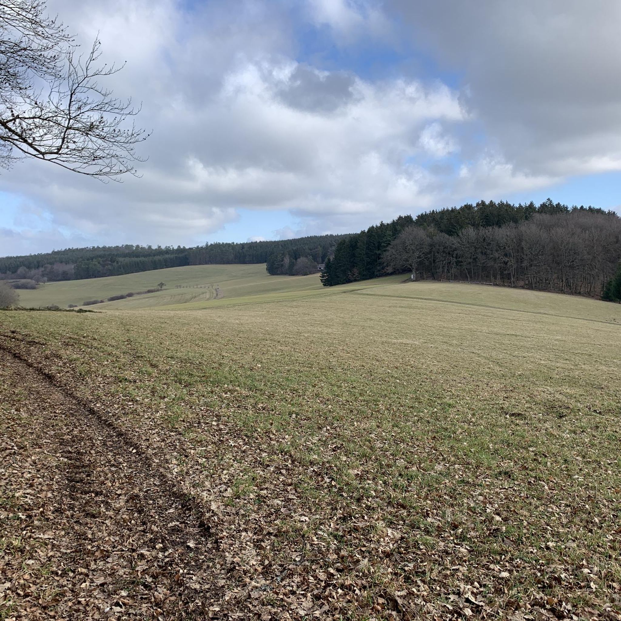
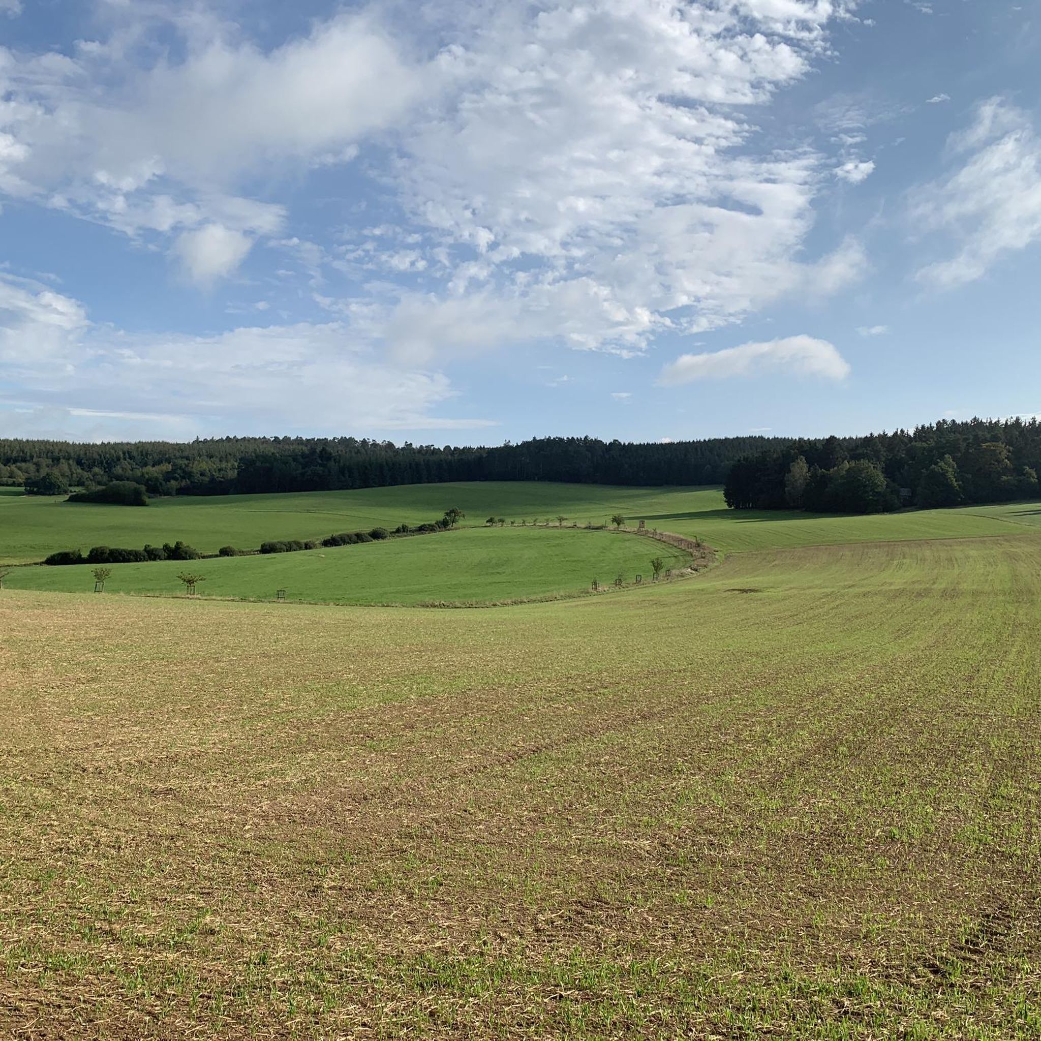
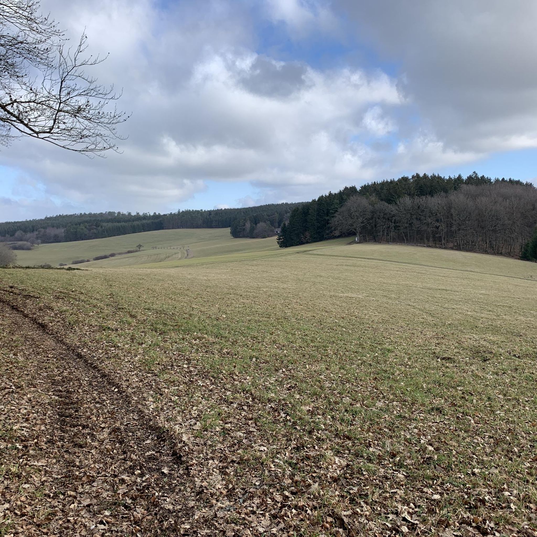
Hiking around Horperath offers exploration through the distinctive volcanic landscapes of the Vulkaneifel district. The region is characterized by picturesque hills and valleys, shaped by past volcanic activity, and features numerous maars, which are volcanic crater lakes. Extensive forests cover a significant portion of the area, alongside grasslands and meadows. This diverse terrain provides varied hiking opportunities.
Best hiking trails around Horperath
- The most popular hiking route is View of the Jungferweiher – Ulmener Maar Tunnel loop from Berenbach,…
Last updated: June 28, 2026
4.2
(42)
121
hikers
11.9km
03:15
190m
190m
Moderate hike. Good fitness required. Easily-accessible paths. Suitable for all skill levels.
4.5
(6)
25
hikers
7.47km
02:02
110m
110m
Moderate hike. Good fitness required. Easily-accessible paths. Suitable for all skill levels.

Sign up for free
4.0
(5)
18
hikers
Easy hike. Great for any fitness level. Easily-accessible paths. Suitable for all skill levels.
5.0
(4)
13
hikers
8.59km
02:23
150m
150m
Moderate hike. Good fitness required. Easily-accessible paths. Suitable for all skill levels.
5.0
(3)
9
hikers
9.99km
02:47
190m
190m
Moderate hike. Good fitness required. Easily-accessible paths. Suitable for all skill levels.
Get access to more routes and recommendations from other explorers.
Sign up for free
Already have an account?
Our route recommendations are based on thousands of hikes, rides, and runs completed by other people on komoot.
Start today with a free account
Your next adventure awaits.
Login or Signup
Tips from the Community

From 13:00 o'clock many people are out and about when the sun ☀️ shines
0
0


A comfortable bench with a beautiful view—we enjoyed taking a chat break here early in the morning and enjoying the morning atmosphere!
1
0

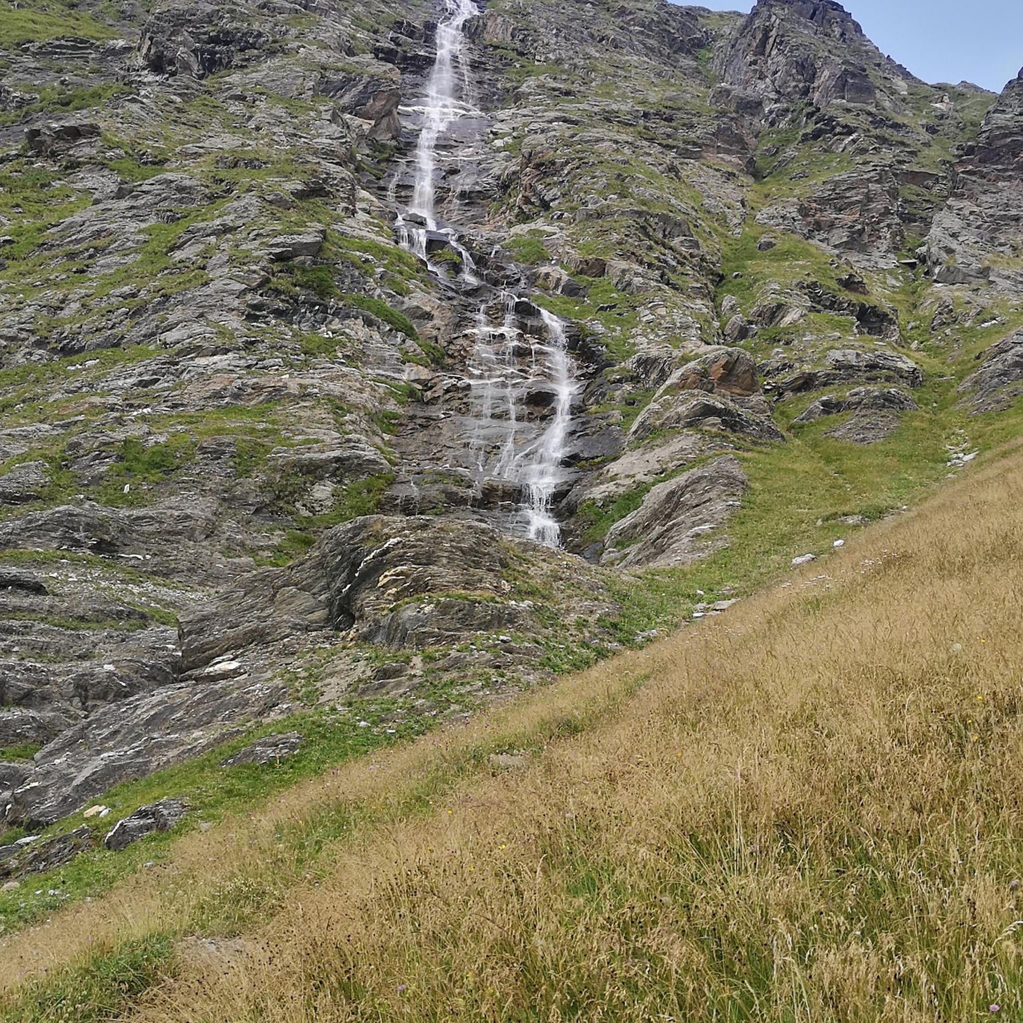
1 million years of geology. Worth putting your bike aside for a moment.
6
0
The Afelskreuz (indulgence cross, mistakenly interpreted as the "Eifel Cross") stands on an old Roman military road. For centuries, pilgrims from the Bonn-Cologne region have traveled this route to the grave of the Apostle Saint Matthias in Trier. This path is therefore also popularly known as the Pilgrim's Route. Another name is the "Piglet Route," because farmers and traders drove their cattle along the Afelskreuz to the markets in Kelberg and Mehren until the 1830s. It is noteworthy that the cities of Trier and Cologne are equidistant from the Afelskreuz (Afelskreuz), some 90 kilometers away. The Romans already established a well-developed network of paths, which can still be seen today. Hörschhausen was a junction of several Roman-era paths and roads. There was also a path from Hörschhausen to Bongard, which crossed the main road between Uess and Lieser at the Afelskreuz.
6
0

A must for creative photos and a broad perspective
1
0

Interesting for a weekend trip if it is not too far
0
0

Bird watching point on the left (western) bank of the Jungferweiher
1
0
Frequently Asked Questions
How many hiking trails are available around Horperath?
Horperath and the surrounding Vulkaneifel district offer a wide variety of hiking opportunities, with over 630 routes available. These trails cater to all skill levels, from easy strolls to more challenging ascents through the region's unique volcanic landscapes.
Are there family-friendly hiking trails in Horperath?
Yes, Horperath is an excellent destination for families. There are over 320 easy hiking routes, many of which are suitable for all ages. These trails often feature gentle terrain and offer opportunities to explore the region's natural beauty without strenuous climbs. For example, the XXL Bench, Vulkaneifel – Afelskreuz and Chapel loop from Katzwinkel is an easy 3.6-mile path that passes an indulgence cross and a chapel.
Can I bring my dog on the hiking trails in Horperath?
Many trails in the Horperath area are dog-friendly, allowing you to enjoy the volcanic landscapes with your canine companion. However, it's always recommended to keep dogs on a leash, especially in nature reserves or near livestock, and to check specific trail regulations before you go. The diverse forests and open meadows provide plenty of space for walks.
Are there circular hiking routes available in Horperath?
Yes, the Vulkaneifel region around Horperath is known for its well-signposted circular routes. These trails are designed to bring you back to your starting point, making planning easier. A popular example is the View of the Jungferweiher – Ulmener Maar Tunnel loop from Berenbach, which is a 7.4-mile moderate route exploring a maar and passing through a tunnel.
What kind of landscapes can I expect to see while hiking in Horperath?
Hiking in Horperath offers a unique journey through the distinctive volcanic landscapes of the Vulkaneifel. You'll encounter picturesque hills and valleys, numerous maars (volcanic crater lakes) like the Ulmener Maar and Mosbruch Pond, and extensive forests covering nearly half of the region. The terrain also includes grasslands, meadows, and natural rock formations, all shaped by past volcanic activity.
Are there any notable viewpoints or attractions along the hiking trails?
Absolutely! The Horperath area is rich in natural and cultural attractions. You can find breathtaking panoramic views from various points, such as the View from Hochkelberg, which offers expansive vistas over the Eifel. Other highlights include the Boos Eifel Observation Tower and the Eifel View (Kreuzberg). Many trails also pass by historic sites and the region's famous maars.
What is the best time of year to go hiking in Horperath?
The Vulkaneifel region around Horperath is beautiful year-round, but spring (April-May) and autumn (September-October) are particularly popular. In spring, the meadows burst with seasonal flowers, and in autumn, the forests display vibrant colors. Summer offers warmer weather for longer hikes, while winter can provide a serene, snow-covered landscape for those prepared for colder conditions.
How long do hikes typically take in Horperath?
Hiking durations in Horperath vary significantly depending on the trail's length and difficulty. Easy routes, like the 3.6-mile XXL Bench, Vulkaneifel – Afelskreuz and Chapel loop from Katzwinkel, can take around 1.5 to 2 hours. Moderate trails, such as the 5.3-mile Mosbruch Pond – View from Hochkelberg loop from Mosbruch, typically take about 2.5 to 3 hours. Longer routes can extend to 4 hours or more.
Where can I find parking for hiking trails in Horperath?
Many popular hiking trailheads and attractions in the Horperath and Vulkaneifel area offer designated parking facilities. It's advisable to check specific route descriptions on komoot for details on parking availability near your chosen starting point. Villages like Mosbruch and Katzwinkel, which serve as starting points for several trails, usually have parking options.
Is it possible to reach hiking trails in Horperath using public transport?
While some larger towns in the Vulkaneifel region are accessible by public transport, reaching specific trailheads directly in smaller villages like Horperath might require some planning. It's recommended to research local bus schedules or consider a combination of public transport and a short taxi ride to access more remote starting points.
What do other hikers enjoy most about hiking in Horperath?
The hiking trails around Horperath are highly rated by the komoot community, with an average score of 4.6 stars from over 4600 reviews. Hikers frequently praise the region's unique volcanic landscapes, the beauty of the maars, and the well-maintained paths that offer diverse experiences. The panoramic views from various vantage points are also a recurring highlight.
Are there any challenging hikes for experienced hikers in Horperath?
Yes, while Horperath offers many easy and moderate trails, there are also more challenging options for experienced hikers. The region features 28 difficult routes that often include steeper ascents and longer distances, providing a good workout while still showcasing the stunning volcanic scenery and diverse natural features of the Vulkaneifel.
Most popular routes around Horperath
Most popular attractions around Horperath

Get inspired with the komoot mobile app


Explore more
Browse the best Hikes in other regions.
