The best road cycling routes in Sistema Municipal De Áreas Protegidas Nobsa
4.6
(109)
2,050
riders
48
rides
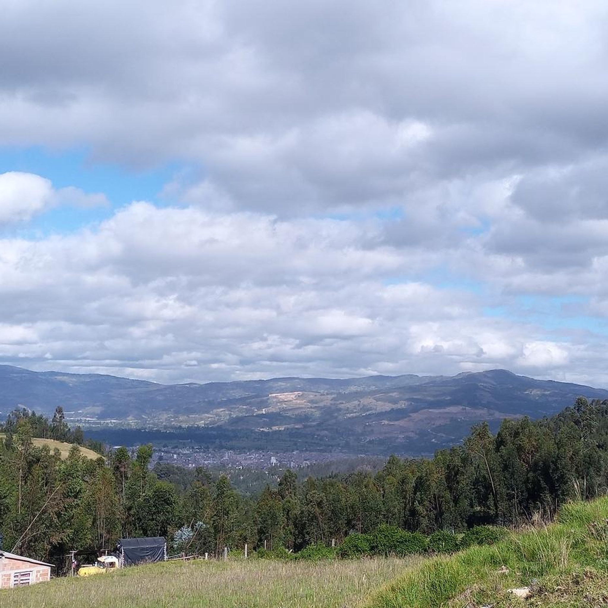
Road cycling in Sistema Municipal De Áreas Protegidas Nobsa offers diverse terrain within the Boyacá department of Colombia, situated on the Altiplano Cundiboyacense. The region features elevations ranging from approximately 2,500 to 3,300 meters above sea level, providing a mix of challenging ascents and more gentle sections. Cyclists can expect to traverse green landscapes, mountains, and agricultural lands, with routes connecting rural areas. This high-altitude setting is suitable for various skill levels, from those seeking significant climbs to riders preferring less strenuous paths.
Best road cycling routes in Sistema Municipal De Áreas Protegidas Nobsa
- The most popular road cycling route is El Guiol Grocery Store – Restaurante La Horqueta loop from Nobsa, a 19.3 miles (31.1 km) trail that takes 1 hour 56 minutes to complete. This moderate route features notable elevation gain through varied landscapes.
- Another top favourite among local road cyclists is El Guiol Grocery Store loop from Hacienda San Rafael, an easy 17.4 miles (28.0 km) path. This route offers a less strenuous ride through the high plateau scenery.
- Local road cyclists also love the Garden View in Colombia – Alto del Portachuelo loop from Sogamoso, a 54.6 miles (87.9 km) trail leading through mountainous terrain, often completed in about 4 hours 33 minutes.
- Road cycling in Sistema Municipal De Áreas Protegidas Nobsa is defined by high-altitude ecosystems, green mountains, and picturesque valleys. The network offers options for different ability levels, from easy rides to difficult climbs.
- The routes in Sistema Municipal De Áreas Protegidas Nobsa are highly rated by the komoot community with an average score of 4.7 stars from over 270 reviews. More than 2,000 road cyclists have used komoot to explore Sistema Municipal De Áreas Protegidas Nobsa's varied terrain.
Last updated: November 1, 2026
11
riders
31.2km
01:56
460m
460m
Moderate road ride. Good fitness required. Some segments of this route may be unpaved and difficult to ride.
3.3
(3)
13
riders
28.0km
01:25
80m
80m
Easy road ride. Mostly well-paved surfaces and easy to ride.

5.0
(4)
119
riders
87.9km
04:33
1,020m
1,020m
Hard road ride. Very good fitness required. Some segments of this route may be unpaved and difficult to ride.
4.0
(2)
97
riders
61.6km
03:14
510m
510m
Moderate road ride. Good fitness required. Some segments of this route may be unpaved and difficult to ride.
5.0
(3)
50
riders
35.3km
01:49
540m
540m
Moderate road ride. Good fitness required. Mostly well-paved surfaces and easy to ride.
Get access to more routes and recommendations from other explorers.
Already have an account?
Our route recommendations are based on thousands of hikes, rides, and runs completed by other people on komoot.
Start today with a free account
Your next adventure awaits.
Popular around Sistema Municipal De Áreas Protegidas Nobsa

Tips from the Community

I did it by diverting onto an unpaved route from Santa Rosa de Viterbo, a good option if you want to avoid traffic on the main road, however, it is recommended on MTB or Gravel.
0
0

Central park with a beautiful cathedral in the center of Bethlehem.
0
0
Summit between the municipalities of Santa Rosa de Viterbo and Belén. Elevation close to 3000 meters above sea level
0
0
Beautiful park in the municipality of Belén.
0
0
Stop between the municipalities of Santa Rosa de Viterbo and Cerinza. Elevation 2974 meters above sea level.
0
0
Representative place where you can find several establishments that offer mojicones, mantecadas, genoas and other culinary foods of the region.
0
0
Playground in the Villa del Rosario sector. There are gym type machines.
0
0
Medieval castle-themed park. As of May 2023 it is practically abandoned. Even the playground is very run down.
0
0
Frequently Asked Questions
How many road cycling routes are available in Sistema Municipal De Áreas Protegidas Nobsa?
There are over 50 road cycling routes available in Sistema Municipal De Áreas Protegidas Nobsa, catering to various skill levels. This includes 4 easy routes, 37 moderate routes, and 13 difficult routes, ensuring options for every cyclist.
What kind of terrain can I expect when road cycling in this region?
The region offers diverse terrain, from gentle rides on a high plateau to epic mountains. You'll encounter elevations ranging from approximately 2,500 to 3,300 meters above sea level, providing both challenging ascents and more relaxed sections through green landscapes and agricultural lands.
Are there easy road cycling routes suitable for beginners or families?
Yes, there are several easy routes perfect for beginners or family outings. For example, the El Guiol Grocery Store loop from Hacienda San Rafael is an easy 17.4-mile (28.0 km) path that offers a less strenuous ride through the high plateau scenery.
What natural features or landmarks can I see along the road cycling routes?
You can expect to see dramatic views of high-altitude ecosystems, including recovering moorland (páramos). The region is also characterized by picturesque green landscapes, mountains, and valleys like the Sogamoso valley. Keep an eye out for lookout points such as "UFO Hill" which provide expansive vistas.
Are there any challenging routes for experienced road cyclists?
Absolutely. For experienced cyclists seeking a challenge, routes like the Garden View in Colombia – Alto del Portachuelo loop from Sogamoso offer significant elevation gain, leading through mountainous terrain over 54.6 miles (87.9 km).
What do other road cyclists enjoy most about cycling in Sistema Municipal De Áreas Protegidas Nobsa?
The area is highly rated by the komoot community, with an average score of 4.7 stars from over 270 reviews. Cyclists often praise the varied terrain, the stunning green landscapes, and the opportunity to connect with nature on quiet rural roads.
Are there circular road cycling routes available?
Yes, many routes in the area are designed as loops, allowing you to start and end at the same point. A popular moderate circular route is the El Guiol Grocery Store – Restaurante La Horqueta loop from Nobsa, which covers 19.3 miles (31.1 km) with notable elevation gain.
What is the best time of year to go road cycling in Sistema Municipal De Áreas Protegidas Nobsa?
Given its high-altitude location on the Altiplano Cundiboyacense, the region generally experiences mild temperatures year-round. However, the dry seasons typically offer the most favorable conditions for cycling, with less rain and clearer skies for enjoying the dramatic views.
Can I find places to eat or drink near the cycling routes?
While specific cafes and pubs directly on every route are not detailed, the routes often connect rural areas and colonial towns. You can expect to find local eateries and shops in these towns where you can refuel and refresh during or after your ride.
Is there public transport available to reach the cycling areas?
Nobsa is situated in the Boyacá department, and while specific public transport details for reaching trailheads are not provided, regional buses often connect towns within the Altiplano Cundiboyacense. It's advisable to check local transport options to Nobsa and nearby towns like Sogamoso, which serve as starting points for many routes.
Are there any waterfalls I can visit near the cycling routes?
Yes, the municipality boasts attractive trekking paths to waterfalls. Notably, the La Chorrera waterfall trail and the El Penitente waterfall trail (also known as the Vereda Santa Ana natural reserve) offer opportunities to witness cascading waters and lush surroundings, providing a great side trip from your cycling adventure.
What is the typical duration for road cycling routes in this area?
Route durations vary significantly based on distance and elevation. Easy routes like the El Guiol Grocery Store loop from Hacienda San Rafael can take around 1 hour 25 minutes, while more challenging routes such as the Garden View in Colombia – Alto del Portachuelo loop from Sogamoso might take over 4 hours 30 minutes.
Most popular routes in Sistema Municipal De Áreas Protegidas Nobsa

Get inspired with the komoot mobile app


Explore more
Browse the best Road cycling routes in other regions.
