The best walks and hikes in Parque Nacional Cotopaxi
4.8
(133)
1,523
hikers
12
hikes
Hiking in Parque Nacional Cotopaxi features a diverse high-altitude landscape dominated by the active Cotopaxi Volcano, which rises to 5,897 meters (19,347 feet). The park is characterized by expansive páramo grasslands, volcanic ash fields, and pristine high-altitude lakes such as Limpiopungo Lagoon. Its terrain includes varied elevation changes, from gentle loops around lakes to challenging ascents towards the volcano's slopes.
Best hiking trails in Parque Nacional Cotopaxi
- The most popular hiking route is Limpiopungo Lagoon – View of Limpiopungo Lake…
Last updated: October 28, 2026
4.7
(34)
403
hikers
Moderate hike. Mostly walkable paths. Sure-footedness required.
4.8
(27)
307
hikers
Moderate hike. Good fitness required. Mostly walkable paths. Sure-footedness required.

4.9
(13)
127
hikers
Moderate hike. Good fitness required. Mostly walkable paths. Sure-footedness required.
5.0
(6)
130
hikers
7.01km
04:51
1,210m
1,210m
Hard hike. Very good fitness required. Mostly walkable paths. Sure-footedness required.
4.8
(9)
40
hikers
Hard hike. Very good fitness required. Mostly walkable paths. Sure-footedness required.
Get access to more routes and recommendations from other explorers.
Already have an account?
Our route recommendations are based on thousands of hikes, rides, and runs completed by other people on komoot.
Start today with a free account
Your next adventure awaits.
Popular around Parque Nacional Cotopaxi
Other adventures in Parque Nacional Cotopaxi

Tips from the Community

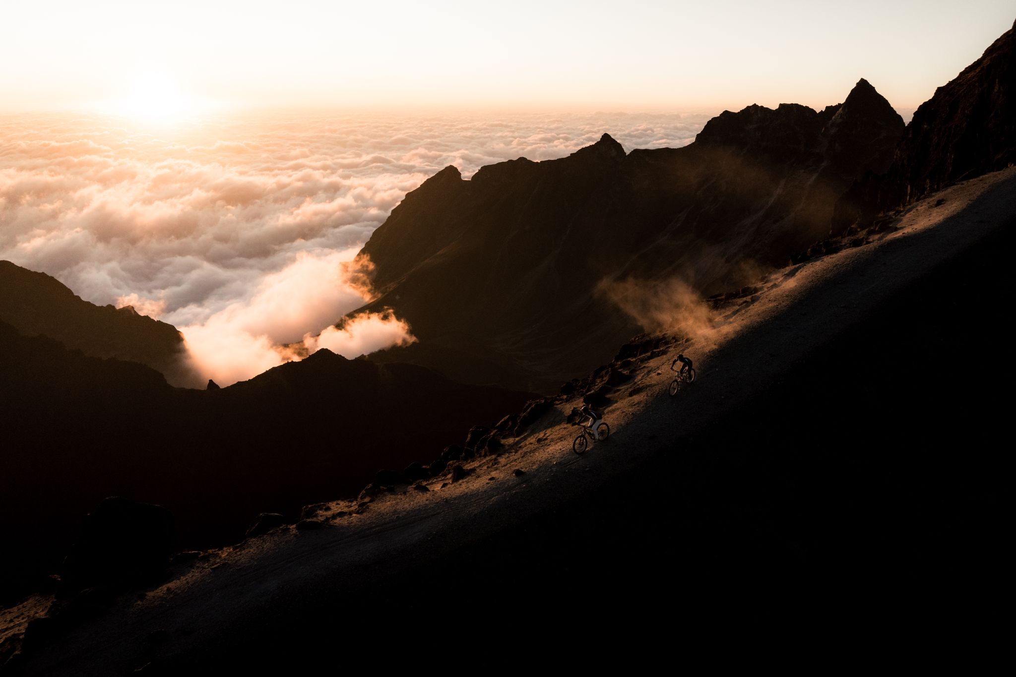
For us, the better way downhill! You can really slide down the mountain! If you go uphill, you keep sliding back on the sand! Besides, people are always coming towards you and kicking up sand in your face!
0
0
For us the better option for the ascent as it is less steep and you don't encounter so many people!
0
0
The parking lot is video monitored by a camera! The drive up is demanding but possible with any car! You have to take the last corner with momentum or you have no chance!
0
0


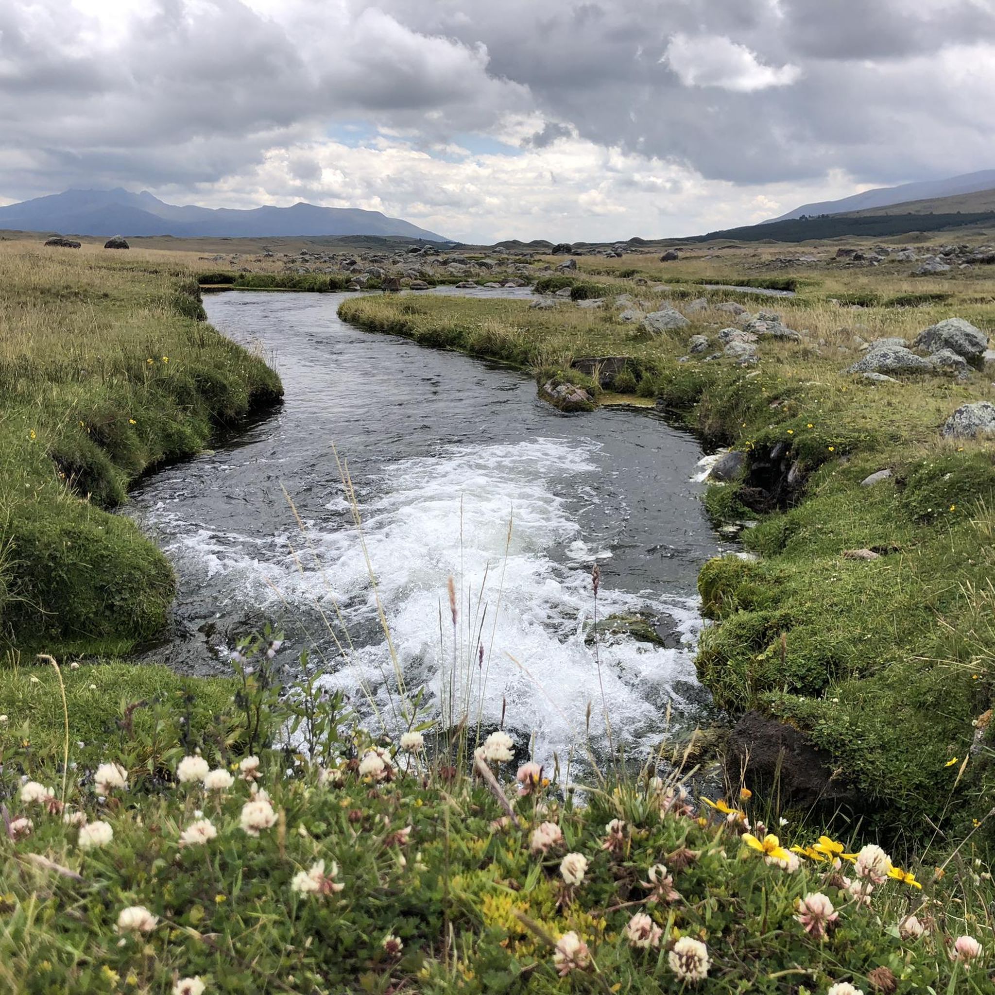
A wooden bridge, visible from afar, allows for a beautiful circular walk through partly very swampy areas.
0
0

It's an excellent viewpoint, both for Limpiopungo Lagoon and for Rumiñahui and Cotopaxi Volcano. Because of the cold, you'll need to wear a coat.
0
0

A beautiful circular path leads around the lagoon and great animal sightings are possible.
0
0

Easy, flat tour that circles the lagoon in the rather barren but beautiful landscape of Ecuador.
1
0
Frequently Asked Questions
How many hiking trails are available in Parque Nacional Cotopaxi?
There are 12 hiking routes available in Parque Nacional Cotopaxi on komoot, offering a range of experiences from moderate loops to challenging ascents. 8 of these routes are rated as moderate, and 4 are considered difficult.
What are the main natural features I can expect to see while hiking in Parque Nacional Cotopaxi?
Parque Nacional Cotopaxi is dominated by the majestic Cotopaxi Volcano, one of the world's highest active volcanoes. You'll also encounter vast páramo grasslands, pristine high-altitude lakes like Limpiopungo Lagoon, and unique volcanic ash fields. The park is also home to one of the few equatorial glaciers.
Are there any family-friendly hiking options in Parque Nacional Cotopaxi?
While many trails involve high altitudes, the loop around Limpiopungo Lagoon is a more leisurely option, taking about an hour. It's excellent for wildlife viewing and offers stunning reflections of the volcano, making it suitable for families looking for a less strenuous walk.
What is the best time of year to visit Parque Nacional Cotopaxi for hiking?
The dry season, typically from June to September and December to February, offers the clearest weather and best conditions for hiking. However, be prepared for rapid weather changes at high elevations regardless of the season.
What kind of wildlife can I expect to see during a hike?
The park is rich in wildlife, especially around Limpiopungo Lagoon, which hosts over 140 bird species, including Andean condors and coots. You might also spot Andean foxes, white-tailed deer, and occasionally the rare Andean spectacled bear. Keep an eye out for wild horses in the grasslands.
What are some notable landmarks or points of interest along the trails?
A popular destination is the José Rivas Refuge, a hut at 4,864 meters (15,958 feet) on Cotopaxi's slopes, serving as a day hike goal and climber's basecamp. The Limpiopungo Lagoon is another key highlight, offering spectacular views and birdwatching opportunities.
Are there any circular hiking routes in the park?
Yes, several popular routes are circular. For example, the Limpiopungo Lagoon – View of Limpiopungo Lake loop is a moderate 3.4 km trail. A longer option is the José Rivas Refuge loop from Parque Nacional Cotopaxi, which is 5.0 km and leads through volcanic slopes.
What should I wear for hiking in Parque Nacional Cotopaxi?
Due to the high altitude and potential for rapid weather changes, it's crucial to dress in layers. Include warm clothing, waterproof and windproof outer layers, sturdy hiking boots, a hat, gloves, and sun protection. The air can be thin and cold, even on sunny days.
What do other hikers enjoy most about the trails in Parque Nacional Cotopaxi?
The area is highly rated by the komoot community, with an average score of 4.8 stars from over 100 reviews. Hikers frequently praise the breathtaking views of the Cotopaxi Volcano, the unique high-altitude landscapes, and the diverse wildlife, especially around Limpiopungo Lagoon.
Is there parking available at the trailheads?
Yes, designated parking areas are available within Parque Nacional Cotopaxi, particularly near popular starting points like the entrance to the Limpiopungo area and the access road to the José Rivas Refuge. It's advisable to check specific access points and any potential fees upon arrival.
Are there any particularly challenging hikes for experienced trekkers?
For experienced hikers, the ascent towards the José Rivas Refuge offers a challenging experience due to altitude and loose volcanic rock. The José Rivas Refuge – View from Cotopaxi loop is a difficult 6.9 km route with significant elevation gain, often used for acclimatization before summit attempts.
Are dogs allowed on the hiking trails in Parque Nacional Cotopaxi?
National parks often have specific regulations regarding pets to protect wildlife and natural habitats. It is recommended to check the official park regulations directly with the park authorities regarding dog access before your visit.
Most popular routes in Parque Nacional Cotopaxi
Most popular attractions in Parque Nacional Cotopaxi

Get inspired with the komoot mobile app


Explore more
Browse the best Hikes in other regions.
