The 10 Most Amazing Peaks around Remchingen
Best mountain peaks around Remchingen are characterized by a hilly landscape, situated on the border between the Kraichgau and the Northern Black Forest. The region features notable elevations and viewpoints, offering scenic beauty and recreational opportunities. The highest point in Remchingen is located in the Nöttinger Oberwald, reaching an elevation of 286 meters. These elevated areas provide opportunities for hiking and appreciating the unique topography.
Best mountain peaks around Remchingen
- The most popular mountain peaks is Büchenbronner Höhe Lookout Tower…
Last updated: August 17, 2026
Büchenbronner Höhe Lookout Tower
Highlight • Viewpoint
Translated by Google •
Tip by

Turmberg Ruins and Viewpoint (Durlach, Karlsruhe)
Highlight • Viewpoint
Translated by Google •
Tip by

Sign up now to discover places like this
Get recommendations on the best single tracks, peaks, & plenty of other exciting outdoor places.
Sign up for free
Sattelstein Kämpfelbach
Highlight • Viewpoint
A bench offers a place to rest.
Translated by Google •
Tip by

Karlsruhe Summit Cross
Highlight • Summit
Translated by Google •
Tip by

View from the Turmberg
Highlight • Viewpoint
Translated by Google •
Tip by

Sign up for free to discover even more peaks around Remchingen.
Sign up for free
Already have an account?
Start today with a free account
Your next adventure awaits.
Login or Signup
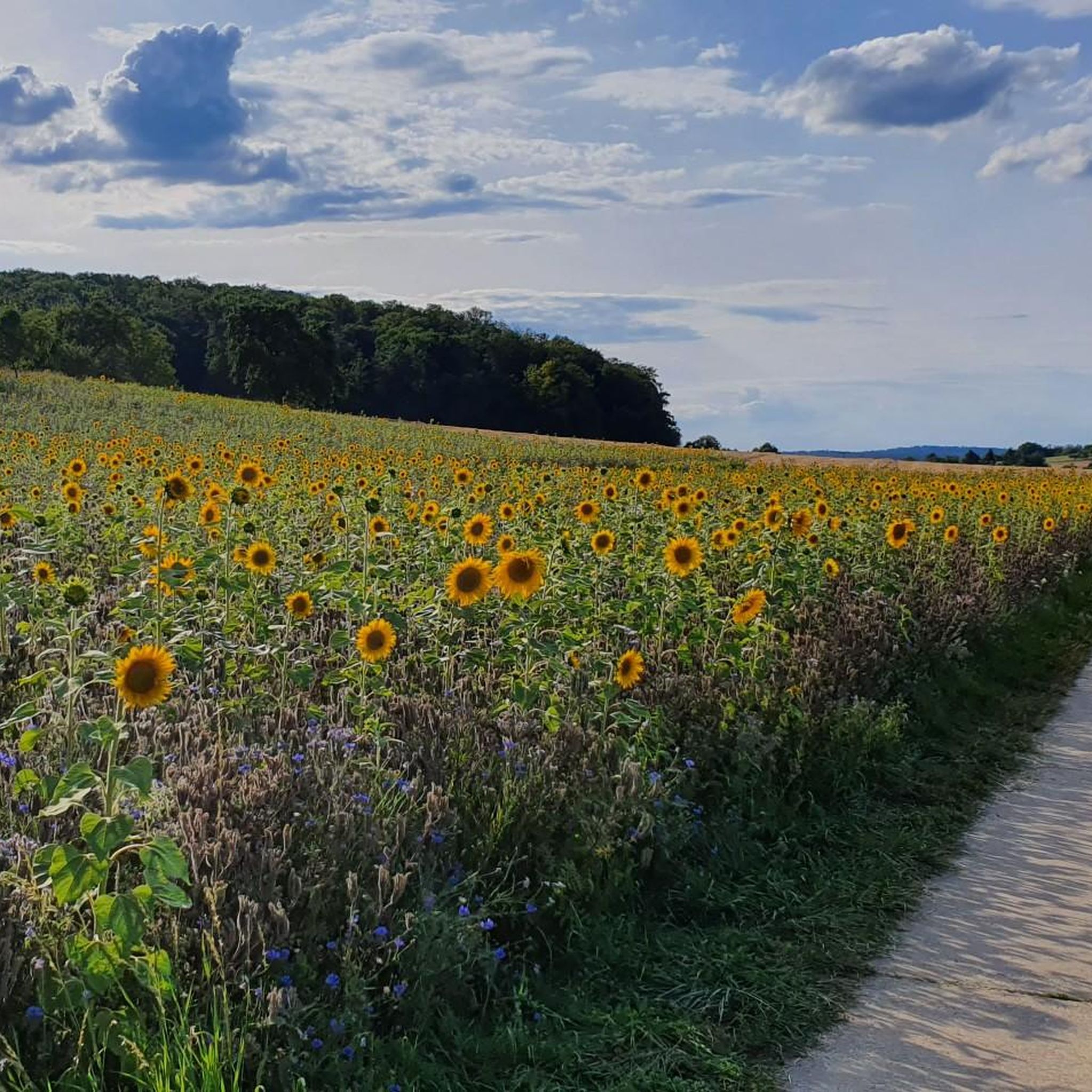
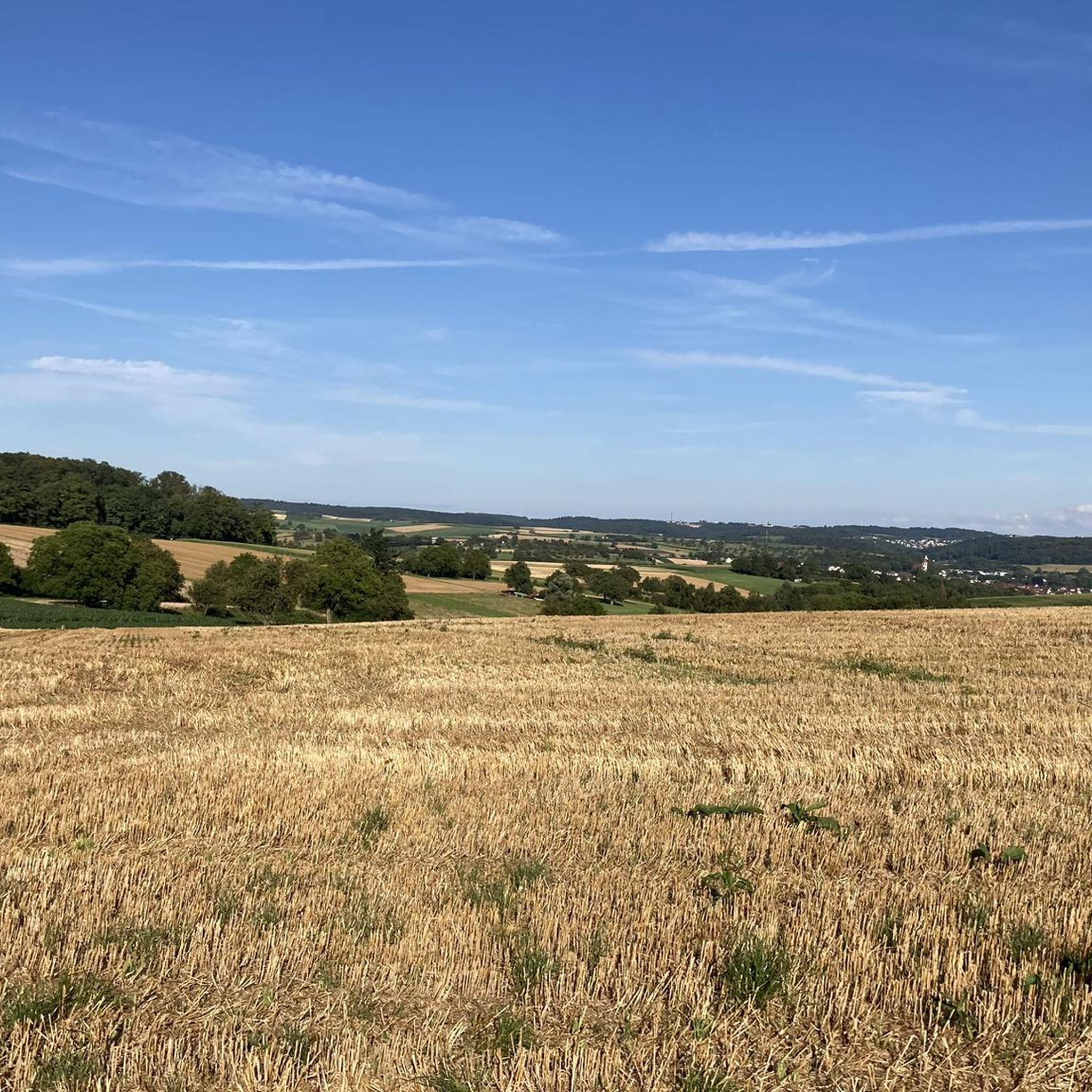
Tips from the Community

The approximately six-and-a-half-meter-high cross was made from a fallen black locust tree from the Karlsruher Oberwald. It weighs around one ton and had to be erected with the help of a crane. The municipal forest workers created and elaborately decorated it with loving handiwork. The summit cross is held by a roughly four-ton base plate, which gives the structure the necessary stability against storms and gusts.
2
0

Summit cross on the highest point in the Karlsruhe district. This is located at an altitude of 323 meters, not far from the Wettersbach radio tower. The cross, approximately six and a half meters high, was made from a fallen black locust tree from the Karlsruhe Oberwald forest.
8
0

The tower is cordoned off and inaccessible. The last renovation was in 1984. I assume that after more than 40 years, it's time for a thorough inspection of the tower and its 125 steps leading to the viewing platform.
15
0

This is indeed the highest point in the Karlsruhe city area. However, the wild boar enclosure will no longer exist in 2025.
2
0

A beautifully landscaped wildlife enclosure with a summit cross
2
0

Beautiful view in all directions. The metal map is practical - even those unfamiliar with the area know what to see where. 👍
7
1

Simply brilliant! 😄👍 More information about the cross: https://www.karlsruhe.de/stadt-rathaus/aktuelles/meldungen/am-hoechsten-punkt-der-stadt
3
0

Who says a summit cross has to be on a high peak ;-) You can also discover a beautifully decorated cross right here at the animal enclosure.
2
0
Frequently Asked Questions
What kind of landscape defines the elevated areas around Remchingen?
The region around Remchingen is characterized by a hilly landscape, situated on the border between the Kraichgau and the Northern Black Forest. You can expect scenic beauty with forests and agricultural areas, rather than towering mountain peaks.
What is the highest point within Remchingen itself?
The highest point directly within Remchingen is located in the Nöttinger Oberwald, reaching an elevation of 286 meters (938 feet) above sea level. This area is ideal for nature walks.
Are there any notable observation towers or viewpoints near Remchingen?
Yes, several elevated areas and viewpoints offer panoramic views. One popular spot is the Büchenbronner Höhe Lookout Tower near Pforzheim, which is Pforzheim's highest point at 608 meters and offers extensive views from its 24.75-meter height.
Can I find historical sites with good views in the area?
Absolutely. The Turmberg Ruins and Viewpoint (Durlach, Karlsruhe) offers magnificent views of Durlach, Karlsruhe, and the Rhine plain. The remains of an old castle are accessible as a lookout tower, adding a historical element to your visit.
Are there viewpoints that offer 360-degree panoramic views?
Yes, Sattelstein Kämpfelbach is a worthwhile viewing point at 300 meters above sea level, providing fantastic panoramic views in all directions. A bench is available for resting and enjoying the scenery.
What do visitors enjoy most about the elevated areas around Remchingen?
Visitors particularly appreciate the scenic outlooks, opportunities for hiking and nature exploration, and the chance to experience the unique hilly landscape. The komoot community has shared over 1,300 photos and given more than 1,100 upvotes for these locations.
Are there family-friendly elevated spots or viewpoints to visit?
Many of the elevated areas and viewpoints are considered family-friendly. For instance, the Schwanner Warte Observation Tower & Viewpoint is a great spot for families, offering impressive views and sometimes the chance to watch gliders take off and land.
What outdoor activities can I do near the peaks around Remchingen?
The region offers various outdoor activities. You can explore numerous cycling routes, including road cycling, mountain biking, and general touring bicycle routes. For example, you can find routes like the 'Trailpark Schwanner Warte' for MTB or scenic loops along the Pfinz River for touring. You can find more details on these activities in the Road Cycling Routes around Remchingen, MTB Trails around Remchingen, and Cycling around Remchingen guides.
Are there specific hiking trails that lead to scenic viewpoints?
Yes, Remchingen offers a variety of hiking trails that traverse its elevated terrain. The 'Panoramaweg Pfinztalblick' is one such trail, providing breathtaking views of the picturesque Pfinztal valley and leading to scenic spots.
Is there a summit cross in the vicinity of Remchingen?
Yes, the Karlsruhe Summit Cross marks the highest point in the Karlsruhe district at an altitude of 323 meters. This approximately six-and-a-half-meter-high cross was made from a fallen black locust tree and offers another unique viewpoint.
When is the best time of year to visit the elevated areas around Remchingen?
The spring, summer, and autumn months are generally ideal for visiting the elevated areas and viewpoints around Remchingen. The weather is pleasant for hiking and cycling, and the natural landscape is vibrant, offering the best conditions for panoramic views.
Most popular routes around Remchingen
Most popular attractions around Remchingen

Get inspired with the komoot mobile app


Explore more
See even more amazing summits around Remchingen with these guides:
