The best walks and hikes in the Hsuen Mountains
4.6
(777)
7,671
hikers
368
hikes
Hiking in the Hsuen Mountains offers diverse landscapes shaped by a volcanic past, featuring over 20 extinct volcanoes and ongoing geothermal activity. The region's topography varies significantly, with elevations ranging from 200 to 1120 meters, including Qixing Mountain, the highest peak at 1,120 meters. Hikers can explore volcanic terrain, panoramic vistas, and numerous waterfall trails. This varied environment provides a range of hiking experiences for different skill levels.
Best hiking trails in the Hsuen Mountains
- The most popular hiking route…
Last updated: July 6, 2026
5.0
(4)
82
hikers
10.2km
03:09
360m
360m
Moderate hike. Good fitness required. Easily-accessible paths. Suitable for all skill levels.
4.4
(9)
22
hikers
20.1km
06:31
790m
790m
Hard hike. Very good fitness required. Mostly accessible paths. Sure-footedness required.

Sign up for free
5.0
(2)
46
hikers
17.2km
05:42
780m
760m
Hard hike. Very good fitness required. Mostly accessible paths. Sure-footedness required.
4.0
(2)
4
hikers
3.79km
01:09
140m
140m
Easy hike. Great for any fitness level. Easily-accessible paths. Suitable for all skill levels.
4.8
(44)
293
hikers
7.96km
02:35
330m
330m
Moderate hike. Good fitness required. Easily-accessible paths. Suitable for all skill levels.
4.9
(38)
198
hikers
6.12km
02:33
440m
440m
Hard hike. Good fitness required. Sure-footedness, sturdy shoes and alpine experience required.
4.6
(20)
90
hikers
Moderate hike. Good fitness required. Easily-accessible paths. Suitable for all skill levels.
4.8
(27)
263
hikers
2.74km
00:56
140m
140m
Easy hike. Great for any fitness level. Easily-accessible paths. Suitable for all skill levels.
4.7
(20)
77
hikers
Moderate hike. Good fitness required. Easily-accessible paths. Suitable for all skill levels.
4.5
(14)
161
hikers
Moderate hike. Good fitness required. Easily-accessible paths. Suitable for all skill levels.
Get access to more routes and recommendations from other explorers.
Sign up for free
Already have an account?
Our route recommendations are based on thousands of hikes, rides, and runs completed by other people on komoot.
Start today with a free account
Your next adventure awaits.
Login or Signup



Other adventures in the Hsuen Mountains

Tips from the Community

Access to the starting point by bus or taxi (easier). Beautiful, well-maintained, and marked trails. Impossible to get lost. Pay attention to the weather; if it's cloudy, you won't see anything... frustrating. Don't do the loop; finish at the visitor center, you'll find it easier to get transport.
0
0

Here you have the best view of Taipei.
0
0
Just to reiterate that unfortunately you can't currently go any further along the Xinxian trail.
0
0

Awesome route! Hällarna Visättra ängar looks like a fantastic adventure with those scenic views. Tip: Pack a lightweight rain jacket, as the weather in this area can shift quickly, especially in open meadows. As a travel blogger at www.urbanchats.com I love discovering guides like this for outdoor adventures thanks for sharing such a great trail!
1
0

From this vantage point, you'll have a great view of the Neidong Falls. They're one of three waterfalls in the Neidong National Forest Recreation Area. Beautifully framed by the dense forest, they're definitely worth a stop during your hike.
0
0
The path leads you through a narrow crevice in the rock here. Don't worry, the section is short—it's still exciting.
0
0
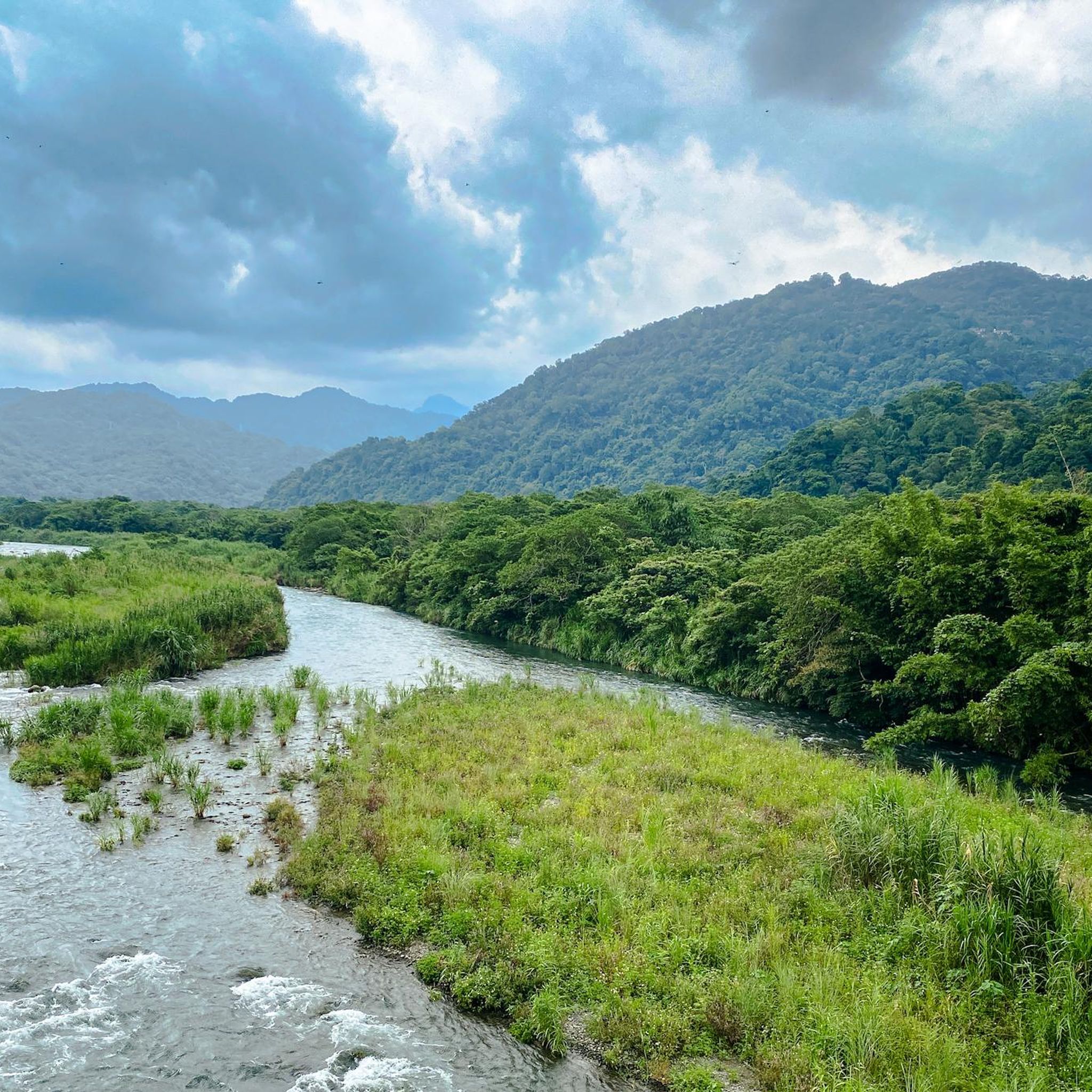
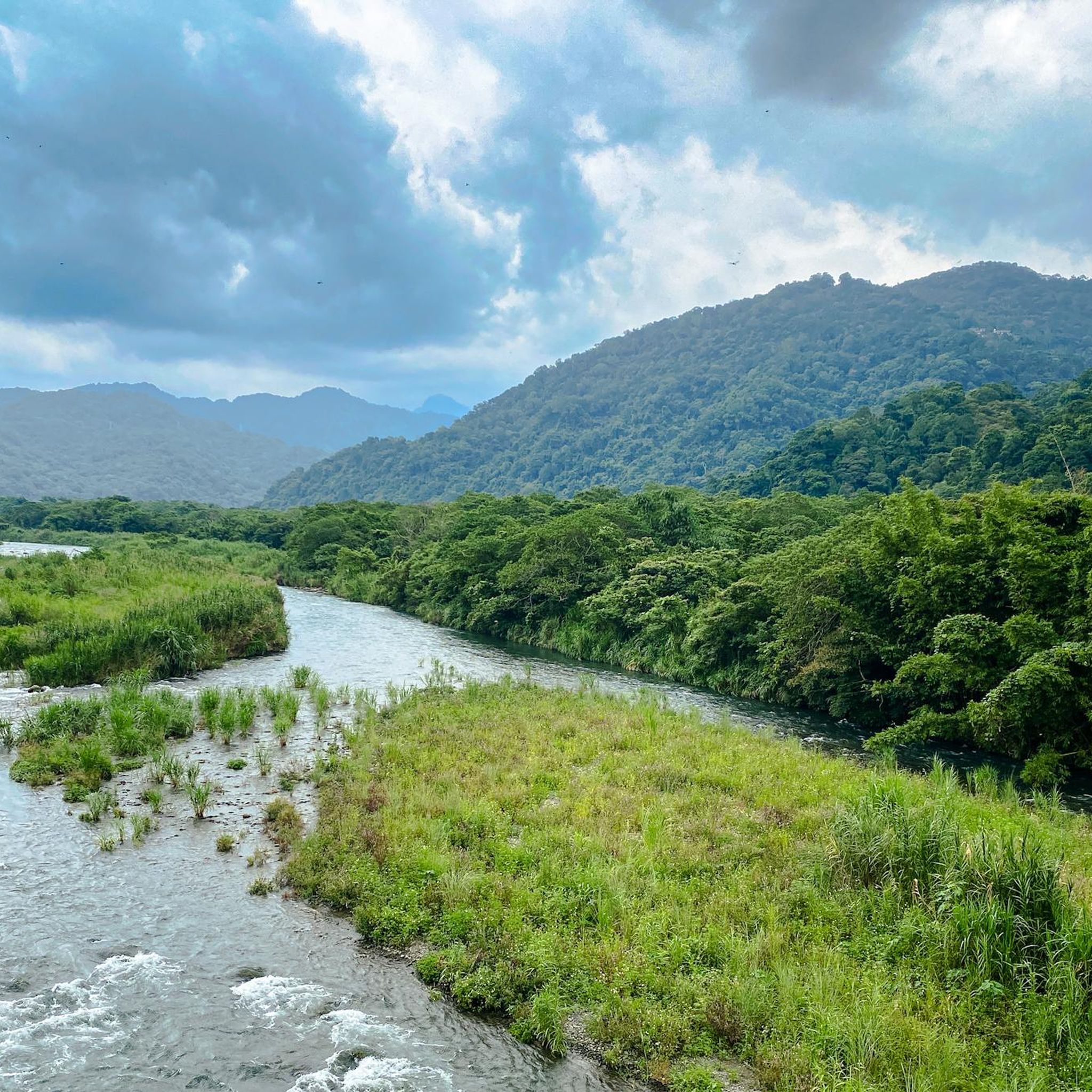
You'll enjoy a magnificent view of the Nanshi River Valley. The watercourse winds its way through in the most beautiful shades of blue, with forested mountains rising to the left and right. The Nanshi River rises in the mountains of Wulai District and, after 45 kilometers, joins the Beishi River to form the Xindian River.
0
0
The water plunges a full 80 meters here, offering a magnificent natural spectacle. Also called the "Waterfall in the Clouds," during the rainy season, the Wulai Waterfall splits into two streams that cascade into the valley below. From the road, you have an unobstructed view of the waterfall. If you want to enjoy a different perspective, you can take the gondola up.
0
0
Frequently Asked Questions
How many hiking trails are available in the Hsuen Mountains?
The Hsuen Mountains offer a wide variety of hiking experiences, with nearly 400 routes available. These range from easy strolls to challenging multi-hour treks, ensuring options for all skill levels.
What kind of landscapes can I expect to see while hiking in the Hsuen Mountains?
The Hsuen Mountains are characterized by their volcanic past, featuring over 20 extinct volcanoes and active geothermal areas. You'll encounter diverse elevations, from 200 to 1120 meters, offering panoramic views of both mountains and the sea. Trails often lead through volcanic terrain, lush forests, and past numerous waterfalls.
Are there any easy hiking trails suitable for beginners or families in the Hsuen Mountains?
Yes, the Hsuen Mountains have 139 easy routes. A great option for beginners or families is the Elephant Mountain loop, which is only 3.8 km long and typically takes just over an hour to complete. Another accessible choice is the Five Yuan Rock Viewpoint loop from Taipei, a shorter 2.7 km path.
Where can I find waterfalls in the Hsuen Mountains?
The Hsuen Mountains are home to several beautiful waterfalls. The Sandiaoling Waterfall Trail is particularly renowned for its stunning cascades. Other notable waterfalls include Yinhe Waterfall and Yinhe Cave Temple, Motian Waterfall, Pipadong Waterfall, and Wulai Falls. You can explore routes like the Matcha Mountain loop from Wufengchi Waterfalls to experience some of these natural wonders.
Are there any circular hiking routes in the Hsuen Mountains?
Yes, many trails in the Hsuen Mountains are designed as loops, offering varied scenery without retracing your steps. Examples include the easy Elephant Mountain loop, the moderate Xiaoyoukeng Fumaroles – Fumarole with Sulfur Deposits loop from Yangmingshan National Park, and the more challenging Teapot Mountain – Banpingshan Ridge loop from Jinguashi.
What are some challenging hikes for experienced trekkers in the Hsuen Mountains?
For experienced hikers, the Hsuen Mountains offer 69 difficult routes. The Taoyuan Valley Trail is a demanding 17.2 km path with extensive views, while the Wulai Laka Trail spans 20.1 km through varied forest and mountain terrain, often taking over six hours to complete.
What are some notable attractions or viewpoints along the hiking trails?
Beyond the natural beauty, hikers can discover several points of interest. Teapot Mountain and Banpingshan Ridge offer stunning 360-degree views. The region also features geothermal activity, visible on routes like the Xiaoyoukeng Fumaroles loop. For cultural landmarks, the Chiang Kai-shek Memorial Hall and Taipei 101 Observation Deck are accessible nearby.
What do other hikers say about the trails in the Hsuen Mountains?
The komoot community highly rates the trails in the Hsuen Mountains, with an average score of 4.6 stars from over 690 reviews. Hikers often praise the diverse landscapes, from volcanic features to panoramic vistas, and the variety of routes catering to different fitness levels. Over 7,300 hikers have used komoot to explore this region.
Are there any trails that showcase the volcanic features of the Hsuen Mountains?
Absolutely. The Hsuen Mountains are known for their volcanic origins. Trails such as the Xiaoyoukeng Fumaroles – Fumarole with Sulfur Deposits loop from Yangmingshan National Park and the East Peak of Qixing Mountain – Fumarole with Sulfur Deposits loop directly lead you through areas with active fumaroles and sulfur deposits, offering a unique geological experience.
What is the highest point accessible by hiking in the Hsuen Mountains?
The highest peak in the Hsuen Mountains, and the Taipei area, is Qixing (Quixin) Mountain, reaching an elevation of 1,120 meters. While there isn't a specific route named 'Qixing Mountain Summit' in the guide, the East Peak of Qixing Mountain loop offers a route through this significant volcanic landscape.
Are there any long-distance hiking options in the Hsuen Mountains?
Yes, for those seeking longer treks, the Hsuen Mountains provide several options. The Wulai Laka Trail is a substantial 20.1 km route, and the Taoyuan Valley Trail covers 17.2 km, both offering extensive hiking experiences.
Most popular routes in the Hsuen Mountains
Most popular attractions in the Hsuen Mountains

Get inspired with the komoot mobile app


Explore more
Browse the best Hikes in other regions.
