The best walks and hikes around Hügelsheim
4.4
(44)
155
hikers
22
hikes
Hiking around Hügelsheim offers access to a varied landscape situated between the Rhine and the Black Forest. The region features extensive Rhine floodplains and alluvial forests, providing unique natural environments. Several lakes, including the Vogelsee, contribute to the scenic beauty and offer habitats for water birds. The area also benefits from its proximity to the Black Forest, making its dramatic landscapes and extensive trail networks easily accessible.
Best hiking trails around Hügelsheim
- The most popular hiking route is Goldbrücke –…
Last updated: July 8, 2026
4.7
(9)
33
hikers
Easy hike. Great for any fitness level. Easily-accessible paths. Suitable for all skill levels.
3.0
(1)
9
hikers
10.3km
02:37
20m
20m
Moderate hike. Good fitness required. Easily-accessible paths. Suitable for all skill levels.

Sign up for free
4.2
(5)
10
hikers
4.66km
01:10
10m
10m
Easy hike. Great for any fitness level. Easily-accessible paths. Suitable for all skill levels.
4.7
(9)
11
hikers
Moderate hike. Good fitness required. Easily-accessible paths. Suitable for all skill levels.
5.0
(2)
11
hikers
14.8km
03:45
30m
30m
Moderate hike. Good fitness required. Easily-accessible paths. Suitable for all skill levels.
Get access to more routes and recommendations from other explorers.
Sign up for free
Already have an account?
Our route recommendations are based on thousands of hikes, rides, and runs completed by other people on komoot.
Start today with a free account
Your next adventure awaits.
Login or Signup
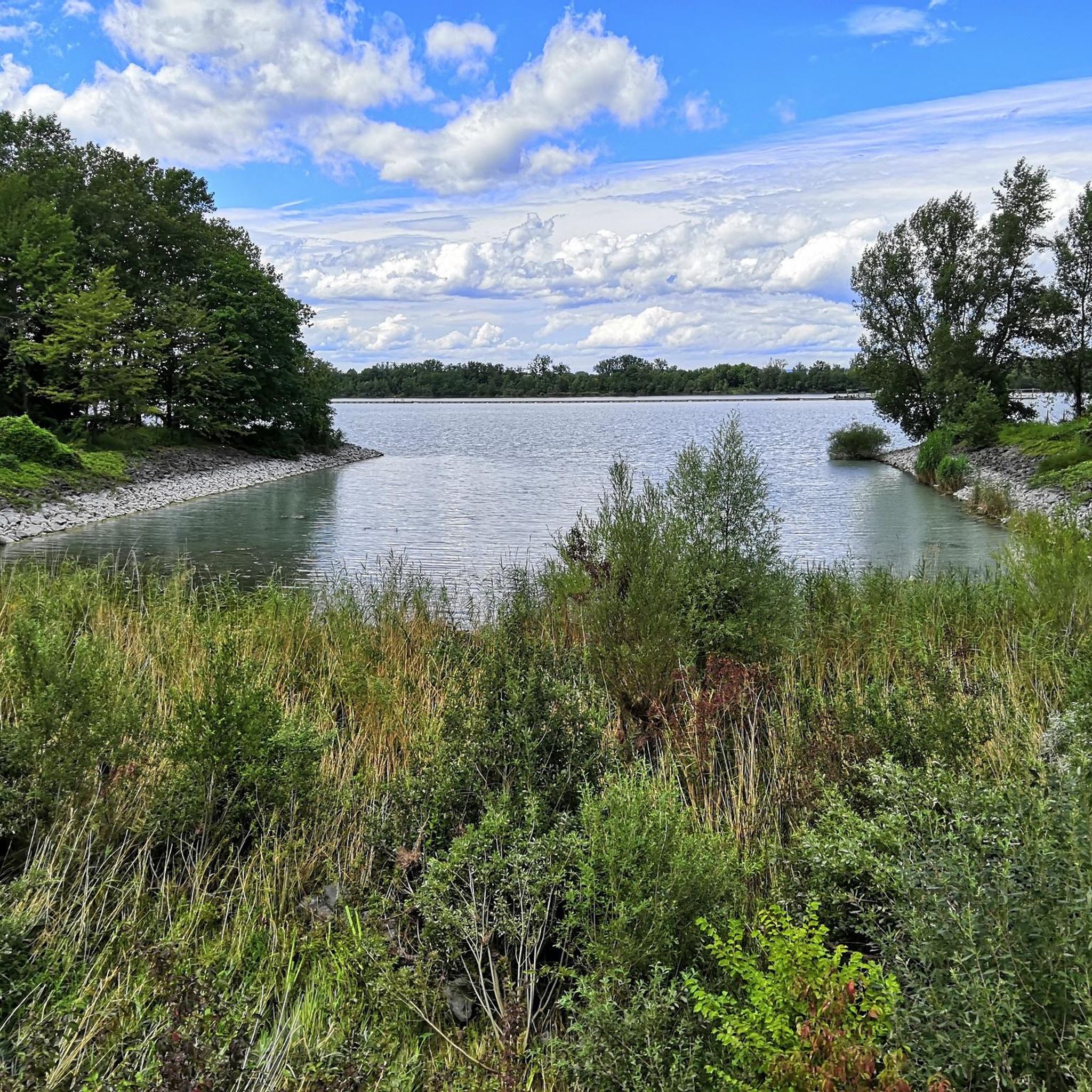
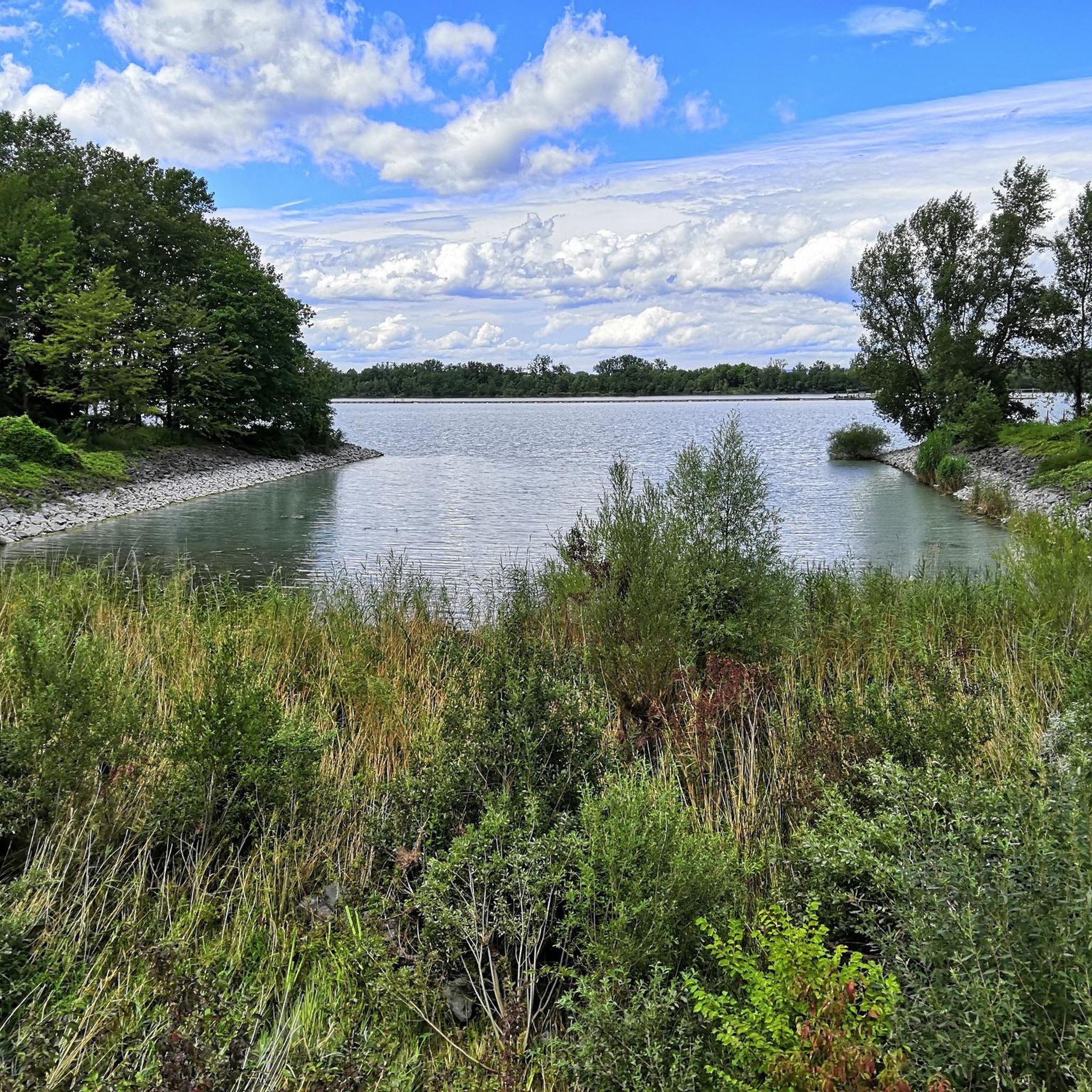
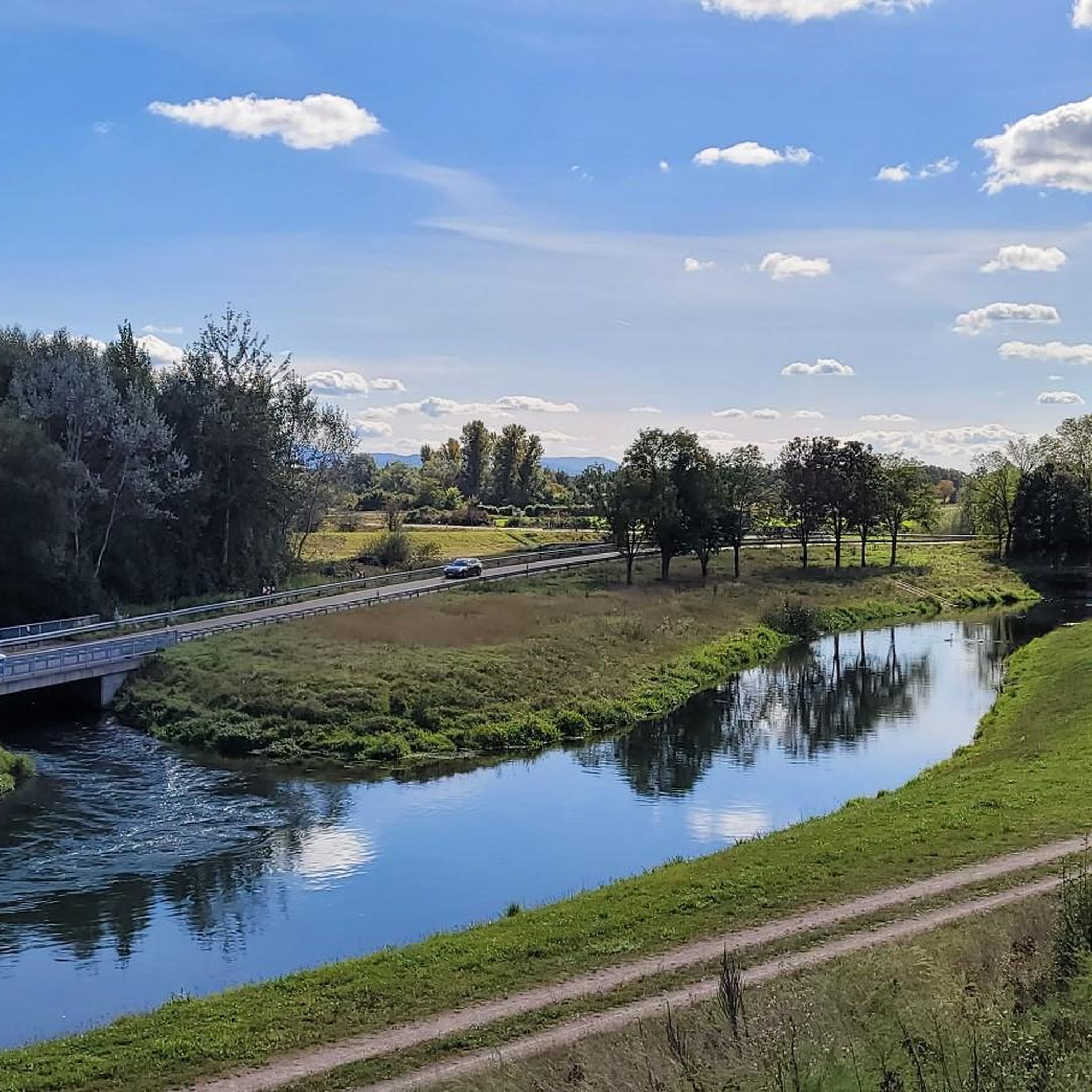
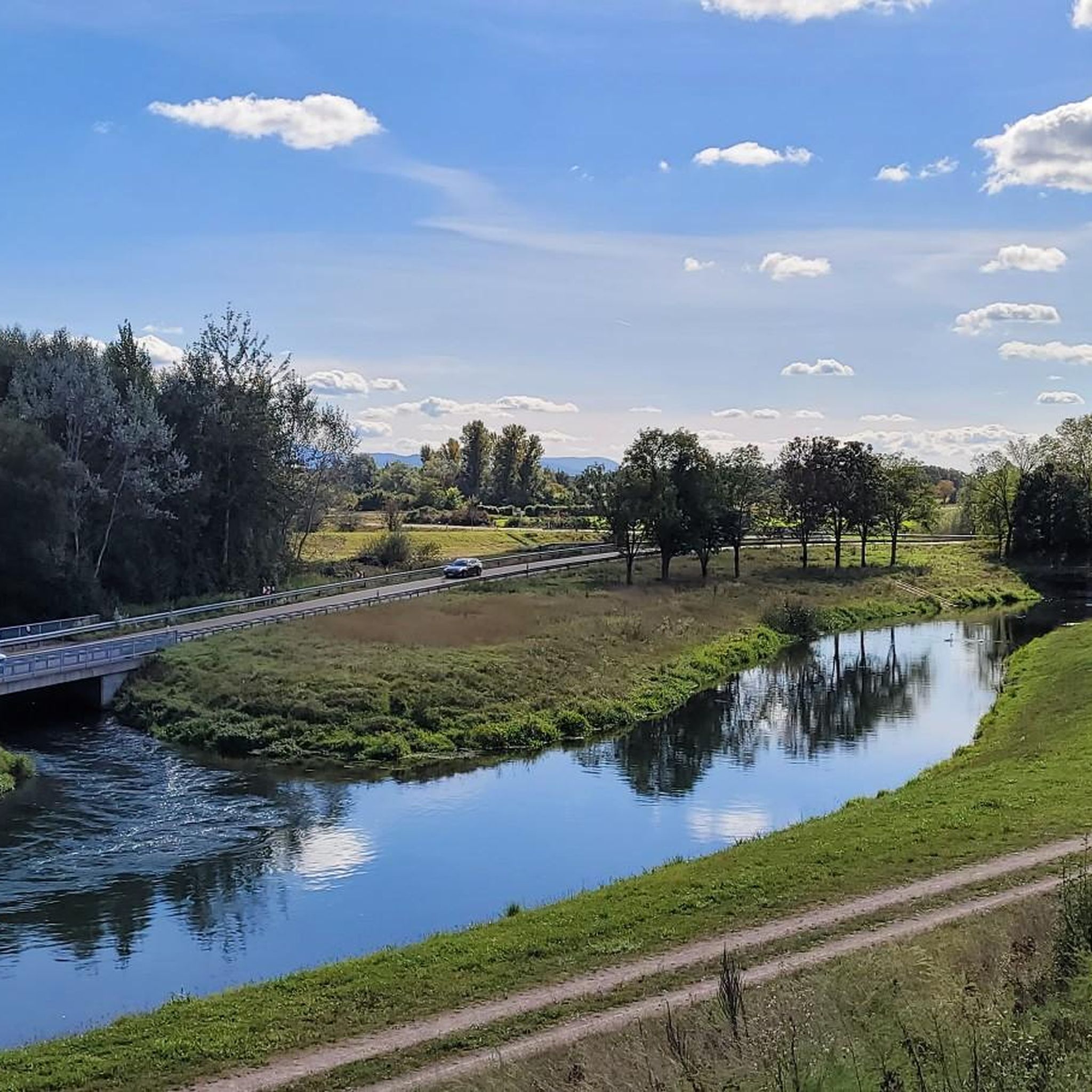

Tips from the Community

A nice opportunity to sit outdoors or under cover
3
1

Great bridge for crossing the river, but also for enjoying some incredible views!
0
0
Really beautiful views in both directions from the middle of the bridge! Definitely take a moment to stop and enjoy them.
0
0

Nature, water, tranquility, hiking on flat paths
0
0

The cabin is beautifully situated near a bridge over the Sandbach stream. It was built in 1976. The name "Roman Cabin" is meant to indicate that the Romans once traveled through this area. Opposite the cabin is a wayside shrine with the inscription "Peace".
4
3

Especially in spring when everything is green a particularly beautiful section
1
0

If you look from the German side of the Rhine towards France, you can see the Vosges in the distance
1
0

The source of the Sandbach is near the Black Forest High Road between Hundseck and Unterstmatt. The Sandbach is 29.2 km long and flows into the Acher near Iffezheim.
1
0
Frequently Asked Questions
What kind of terrain can I expect on hikes around Hügelsheim?
Hügelsheim offers a diverse landscape, primarily characterized by the extensive Rhine floodplains and unique alluvial forests. You'll also find scenic lakes like the Vogelsee and Hanfsee. The region's proximity to the Black Forest means access to more dramatic, forested landscapes and varied elevations.
How many hiking trails are available in Hügelsheim?
There are over 20 hiking trails around Hügelsheim, catering to various skill levels. The komoot community has explored these routes over 140 times, highlighting the area's popularity for outdoor activities.
Are there family-friendly hiking trails in Hügelsheim?
Yes, Hügelsheim offers several easy trails suitable for families. For instance, the Römerhütte at the Sandbach – Sandbach loop from Hügelsheim is an easy 4.7 km route with minimal elevation, perfect for a leisurely family outing.
Can I bring my dog on hikes in Hügelsheim?
Many trails in Hügelsheim are dog-friendly, especially those through the floodplains and forests. It's always recommended to keep your dog on a leash, particularly in nature reserves or areas with wildlife, to ensure safety and respect for the environment.
Are there many circular hiking routes available?
Yes, many of the popular routes around Hügelsheim are circular, making them convenient for day trips. Examples include the Goldbrücke – Gold Bridge over the Sandbach loop from Landkreis Rastatt and the Iffezheim Lock – Rhine Floodplains loop from Landkreis Rastatt.
What natural features or landmarks can I see while hiking?
While hiking, you can explore the unique Rhine floodplains and alluvial forests. Notable natural features include the Vogelsee, a paradise for water birds, and the impressive Wolfsschlucht (Wolf Gorge), a significant geological natural monument with striking rock formations. For panoramic views, consider visiting the Merkur Tower (Merkurturm), accessible via trails near Baden-Baden.
Are there any historical sites accessible via hiking trails?
Absolutely. The region is rich in history. You can hike to the Old Hohenbaden Castle, a former residence of the Margraves of Baden, which offers historical intrigue and a restaurant. Other nearby historical sites include the Alt-Eberstein Castle Ruins and Rastatt Palace.
What is the typical length and difficulty of hikes in Hügelsheim?
Hikes in Hügelsheim vary in length and difficulty. You can find easy walks as short as 4.7 km, like the Römerhütte at the Sandbach loop, to moderate routes up to 14.8 km, such as the Canadian Starfighter Monument – Vogelsee loop. Most trails are easy to moderate, with one difficult route available for experienced hikers.
When is the best time of year to go hiking in Hügelsheim?
The diverse landscapes of Hügelsheim make it appealing for hiking throughout much of the year. Spring and autumn offer pleasant temperatures and vibrant scenery, especially in the alluvial forests. Summer is also suitable, particularly for shaded routes along the Rhine or in the Black Forest foothills. Winter hikes can be beautiful, though some trails might be muddy or require appropriate gear.
What do other hikers say about the trails in Hügelsheim?
The trails in Hügelsheim are highly rated by the komoot community, with an average score of 4.3 stars from over 40 reviews. Hikers often praise the well-maintained paths, the peaceful natural environments of the floodplains, and the scenic beauty of the lakes and forests.
Are there places to eat or drink along the hiking routes?
Yes, some hiking areas offer refreshment options. For example, the Old Hohenbaden Castle, a popular hiking destination, features a restaurant with a beer garden during the summer months. The Merkurstüble Restaurant is also located near the Merkur Tower, offering a place to refuel after a climb.
How can I reach the trailheads, and is parking available?
Many trailheads around Hügelsheim are accessible by car, and parking is generally available, especially at popular starting points. While public transport options exist for reaching the general area, it's advisable to check specific route details on komoot for precise trailhead access and parking information.
Most popular routes around Hügelsheim
Most popular attractions around Hügelsheim

Get inspired with the komoot mobile app


Explore more
Browse the best Hikes in other regions.
