George Dudley Seymour State Park
George Dudley Seymour State Park
The best road cycling routes in George Dudley Seymour State Park
44
riders
20
rides
Road cycling routes near George Dudley Seymour State Park in the Lower Connecticut River Valley Planning Region traverse a landscape defined by wooded areas, river views, and varied elevations. While the state park itself contains trails more suited for hybrid or mountain bikes, the surrounding region offers numerous paved routes for road cyclists. These routes often feature rolling terrain with significant climbs, providing diverse cycling experiences.
Best road cycling routes in George Dudley Seymour State Park
- The most popular road…
Last updated: October 2, 2026
6
riders
78.1km
03:45
740m
740m
Moderate road ride. Good fitness required. Mostly well-paved surfaces and easy to ride.
3
riders
34.3km
01:49
380m
380m
Moderate road ride. Good fitness required. Mostly well-paved surfaces and easy to ride.

7
riders
89.4km
04:10
730m
730m
Moderate road ride. Good fitness required. Some segments of this route may be unpaved and difficult to ride.
5
riders
41.3km
01:56
500m
500m
Moderate road ride. Good fitness required. Mostly well-paved surfaces and easy to ride.
4
riders
Moderate road ride. Good fitness required. Some segments of this route may be unpaved and difficult to ride.
Get access to more routes and recommendations from other explorers.
Already have an account?
Our route recommendations are based on thousands of hikes, rides, and runs completed by other people on komoot.
Start today with a free account
Your next adventure awaits.


Tips from the Community

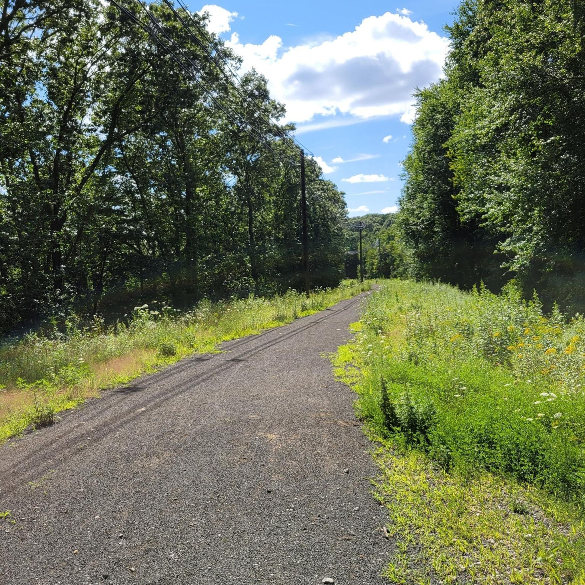
Snell-Talbot Preserve is a small nature preserve on the E Haddam Colchester Turnpike in East Haddam, Connecticut. There are a few nice trails through woodlands and open fields. Although you cannot ride on these the preserve, it's still a pretty spot to ride past as you explore East Haddam.
0
0
Right across from the Cypress Cemetery, a historic spot in its own right, is the original location of Yale College. There is a large stone with a plaque and an informational sign marking the spot.
0
0

This town embodies the quintessential charm of New England, with its picturesque Main Street lined with boutiques, cafes, and historic landmarks.
0
0
This town embodies the quintessential charm of New England, with its picturesque Main Street lined with boutiques, cafes, and historic landmarks.
0
0

Beautiful Cedar Lake is a local recreational area for the residents of Chester. Two springs feed into this 80-acre water body. Its tree-lined shore and tranquil setting make it a beautiful vista when cycling past on W. Main Street.
0
0

Falls River feeds Ivoryton Pond which has a small dam at the eastern end. Water from here flows into the much larger Mill Pond a little further east on Main Street. You can access the banks of the pond from the western end, just over the bridge. The rest of the pond is mostly surrounded by trees, which help to make this an inviting pond for local wildlife.
0
0
Falls River feeds Ivoryton Pond which has a small dam at the eastern end. Water from here flows into the much larger Mill Pond a little further east on Main Street. You can access the banks of the pond from the western end, just over the bridge. The rest of the pond is mostly surrounded by trees, which help to make this an inviting pond for local wildlife.
0
0
Jennings Pond is a pond created by a small dam on the eastern side of the pond which sits between two private properties. The pond is surrounded by trees and is best visible year round from this spot on Spring Road. The pond supports much wildlife and is a bustling springtime location for many birds and insects.
0
0
Frequently Asked Questions
What kind of terrain can I expect on road cycling routes near George Dudley Seymour State Park?
The road cycling routes in the Lower Connecticut River Valley Planning Region, which encompasses George Dudley Seymour State Park, feature a diverse landscape. You'll encounter wooded areas, scenic river views, and rolling hills with varied elevations. While the park itself has trails more suited for hybrid or mountain bikes, the surrounding region offers numerous paved routes with significant climbs, providing a dynamic cycling experience.
How many road cycling routes are available in the George Dudley Seymour State Park area?
There are over 25 road cycling routes available in the George Dudley Seymour State Park area, as tracked by komoot. These routes offer a range of distances and elevations, with the majority rated as moderate difficulty.
Are there any easy road cycling routes for beginners or families?
While most routes in this area are rated as moderate, the region does offer options for varying skill levels. For a moderate but manageable ride, consider the Cedar Lake – Goose Hill loop from Middlesex County, which covers 21.3 miles with an elevation gain of over 1,200 feet. It's a good introduction to the area's rolling terrain.
What are some notable natural features or landmarks I might see while cycling in the region?
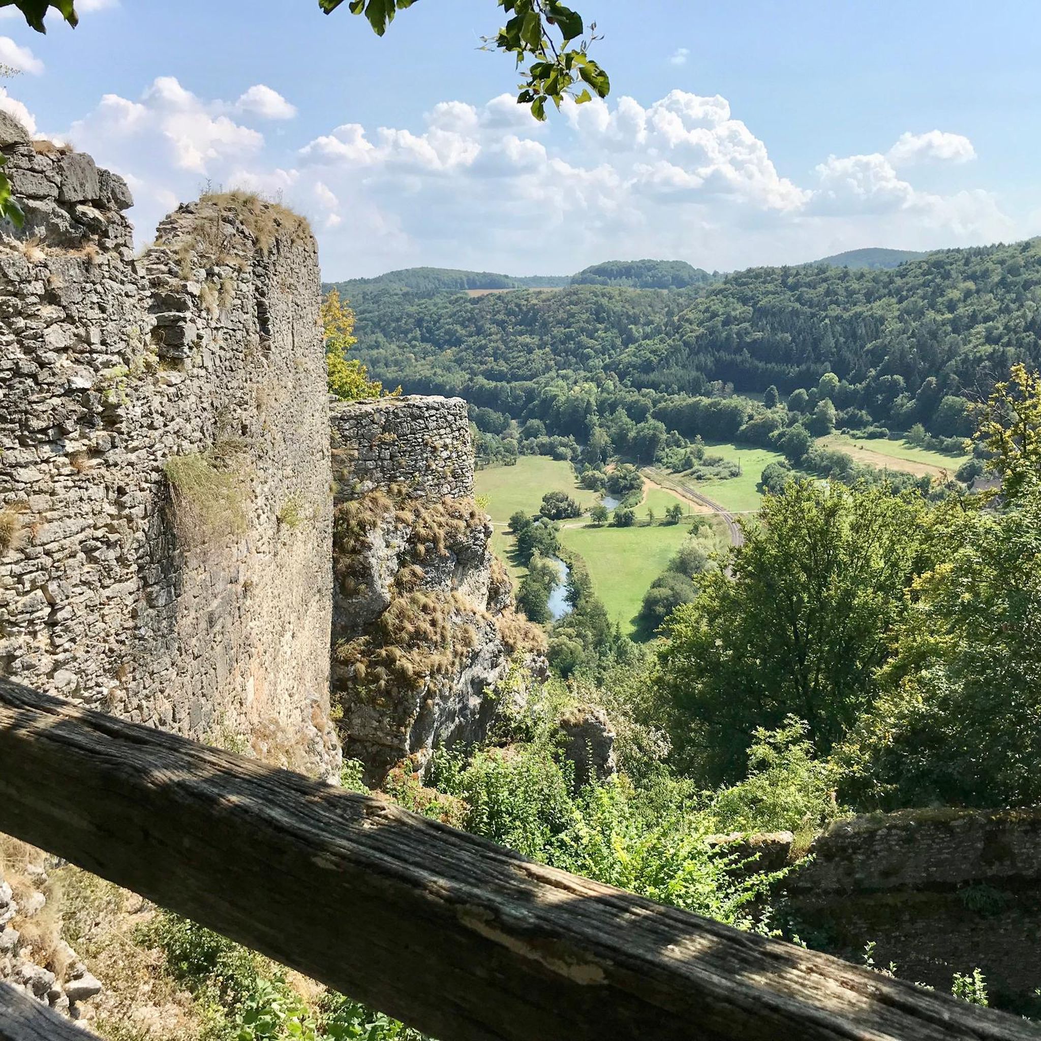
While cycling the paved routes in the broader Lower Connecticut River Valley, you'll experience the natural beauty of the Connecticut River frontage and wooded areas. The region is known for its diverse landscapes. George Dudley Seymour State Park itself features rock cliffs with scenic views and remnants of the historic Clarkhurst estate. For more general information about the park's features, you can visit ctvisit.com.
What is the typical difficulty level for road cycling routes in this area?
The road cycling routes in the George Dudley Seymour State Park vicinity are predominantly rated as moderate. This means you can expect rolling terrain with some significant climbs, offering a good challenge for most road cyclists. There are also a few routes rated as difficult for those seeking a more strenuous ride.
Can I bring my dog on the road cycling routes?
While George Dudley Seymour State Park itself is generally dog-friendly for hiking, the suitability for dogs on road cycling routes depends on the specific route and local regulations outside the park. Always ensure your dog is leashed and that you adhere to any signage or local ordinances on the roads you choose to cycle. It's best to check individual route details or local town regulations for specific guidance.
Are there any loop routes available for road cyclists?
Yes, many of the road cycling routes in the area are designed as loops, allowing you to start and end at the same point. An example is the Wadsworth Falls – Indian Hill loop from Middlesex Community College, a moderate 24.1-mile path offering scenic roads and climbs.
What do other road cyclists enjoy most about cycling in the George Dudley Seymour State Park area?
Road cyclists using komoot often praise the varied terrain and scenic beauty of the Lower Connecticut River Valley. They appreciate the challenge of the rolling hills and the opportunity to explore wooded areas and river views. The routes provide a good mix of physical exertion and natural immersion.
Is public transport available to access the cycling routes?
Public transport options directly to the starting points of many road cycling routes in this rural area may be limited. Most cyclists typically drive to a convenient parking spot near the route's beginning. It's advisable to plan your transport in advance and check local bus schedules if you intend to use public transit.
Where can I find parking for road cycling routes near George Dudley Seymour State Park?
Parking is generally available at various points near the start of the road cycling routes in the region. For example, routes like the Snell-Talbot Preserve – Nice quiet road loop from Brainard Homestead State Park often have designated parking areas at or near state parks or preserves that serve as convenient starting points. Always check the specific route details for recommended parking locations.
What is the best time of year for road cycling in this region?
The spring, summer, and fall months generally offer the best conditions for road cycling in the George Dudley Seymour State Park area. Spring brings blooming foliage, summer offers warm weather, and fall provides stunning autumn colors. Always check local weather forecasts before heading out, especially for temperature changes and potential rain.
Are there any longer, more challenging road cycling routes?
For those seeking a longer and more challenging ride, the Devil's Hopyard State Park loop from Moodus is a popular choice. This 25.6-mile route features an elevation gain of over 1,600 feet, leading through varied and demanding terrain.
Most popular routes in George Dudley Seymour State Park

Get inspired with the komoot mobile app


Explore more
Browse the best Road cycling routes in other regions.
