Quinnipiac River State Park
Quinnipiac River State Park
The best walks and hikes in Quinnipiac River State Park
4.6
(39)
432
hikers
64
hikes
Hiking in Quinnipiac River State Park offers routes through a forested floodplain along the western shoreline of the Quinnipiac River. The park is characterized by its low-lying, serpentine river landscape and extensive forest cover. Trails consist of packed earth and some paved sections, with terrain that can become seasonally muddy due to its location in an active floodplain.
Best hiking trails in Quinnipiac River State Park
- The most popular hiking route is Banton Quinnipiac Trail — Quinnipiac River State Park…
Last updated: July 8, 2026
1.87km
00:28
0m
0m
Easy hike. Great for any fitness level. Easily-accessible paths. Suitable for all skill levels.
9.25km
02:21
30m
30m
Moderate hike. Good fitness required. Easily-accessible paths. Suitable for all skill levels.

Sign up for free
4.43km
01:14
70m
120m
Easy hike. Great for any fitness level. Easily-accessible paths. Suitable for all skill levels.
3.87km
00:59
10m
10m
Easy hike. Great for any fitness level. Easily-accessible paths. Suitable for all skill levels.
2.33km
00:36
10m
10m
Easy hike. Great for any fitness level. Easily-accessible paths. Suitable for all skill levels.
Get access to more routes and recommendations from other explorers.
Sign up for free
Already have an account?
Our route recommendations are based on thousands of hikes, rides, and runs completed by other people on komoot.
Start today with a free account
Your next adventure awaits.
Login or Signup


Tips from the Community

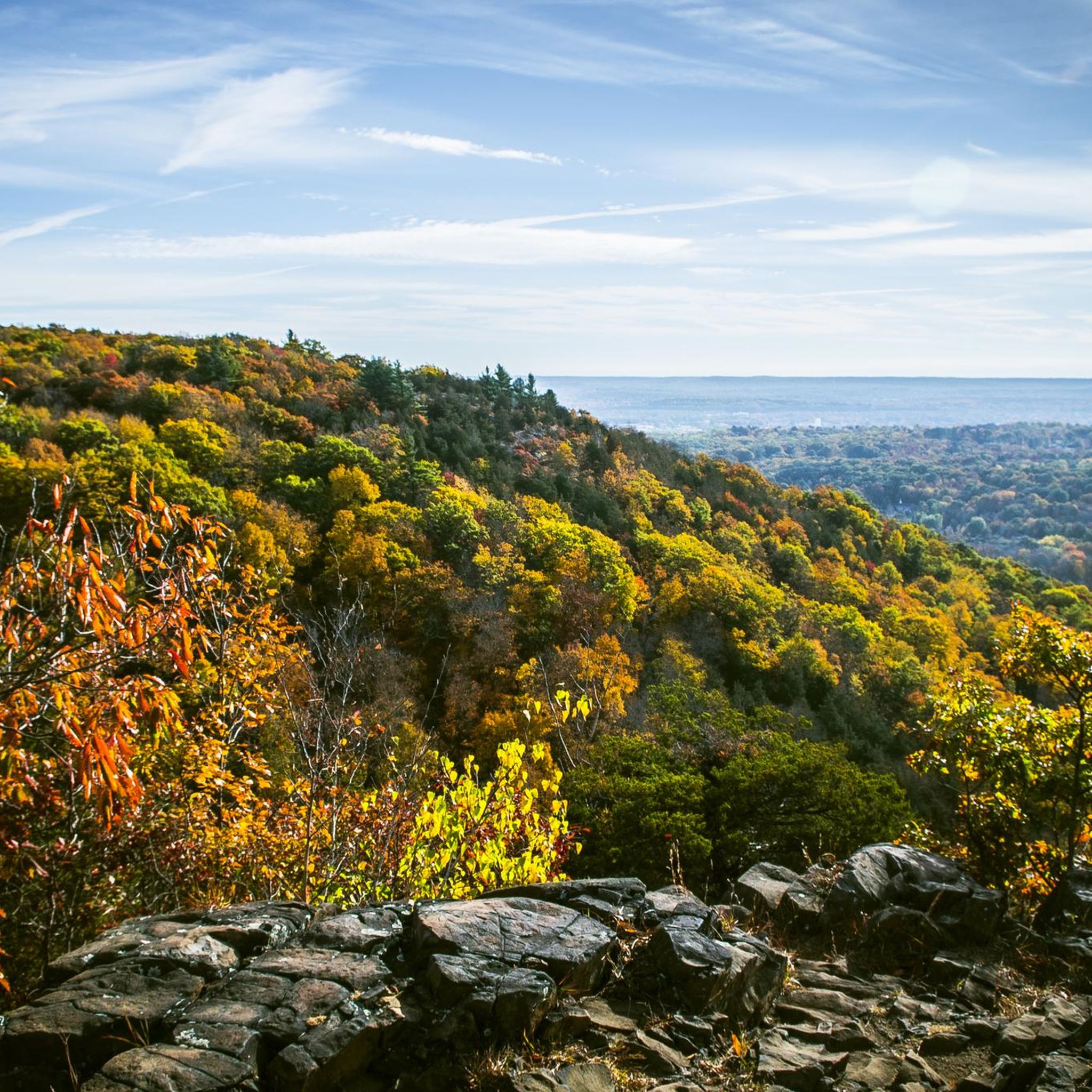
Sleeping Giant State Park is a 1,465 acre park. The top of the mountain in the park resembles a sleeping giant, which is where the park's name comes from. There are biking and hiking paths, a picnic area and from the peak of Mt. Carmel, there is an excellent view of Long Island Sound and the New Haven area.
0
0

The Banton Quinnipiac Trail is one of three trails in the Quinnipiac River State Park. It follows the name-giving river and offers a tranquil walk through nature.
0
0
With a mix of natural beauty and recreational facilities, the Wharton Brook State Park is a great location for nature enthusiasts. The park features wooded areas, a meandering brook, and open fields, providing a picturesque setting for hiking picnicking and bird-watching.
0
0

Although there are numerous parking areas to access Sleeping Giant State Park, this is the main entrance, with a sizable picnic area and plenty of parking.
1
0
Frequently Asked Questions
Are dogs allowed in Quinnipiac River State Park?
Yes, dogs are welcome in Quinnipiac River State Park, but they must be kept on a leash at all times. The relatively flat terrain of the park's trails makes it a good option for walking with your canine companion. Please be sure to clean up after your pet to help keep the park beautiful.
Is Quinnipiac River State Park suitable for family hikes?
Absolutely. The park's main trails are generally flat and follow the river, making them accessible for hikers of all ages. For a shorter, easy walk that's great for families, consider the Wharton Brook State Park loop in a nearby park. Its gentle path is perfect for a quick outdoor adventure with children.
Where can I park to access the trails?
The main access and parking area for the trails is located off Banton Street in North Haven. The address for the park entrance is 10 Banton St, North Haven, CT 06473. There is also parking available at the rest area on the Wilbur Cross Parkway, which provides access to the trail system.
What is the terrain like on the hiking trails?
The trails in Quinnipiac River State Park primarily traverse a forested floodplain. You can expect a mix of packed earth paths and some paved sections. Because the park is in an active floodplain along the river, the ground can become very muddy and wet, especially after heavy rain or during certain seasons. It's wise to wear waterproof footwear.
How long is the Banton Quinnipiac Trail?
The full Banton Quinnipiac Trail is approximately 5.7 miles (9.2 km) long and runs from Toelles Road to Banton Street. It's a moderate out-and-back route that typically takes around 2 hours and 20 minutes to complete.
Are there any easy hikes in the area?
Yes, there are many easy hiking options. Within the park, you can walk shorter sections of the main trail for a gentle stroll. For a dedicated easy loop nearby, the Hezekiah's Knob loop via White and Yellow trails offers a pleasant 3-mile (4.9 km) walk with minimal elevation gain.
What do other hikers think of Quinnipiac River State Park?
The trails in and around the park are highly regarded by the komoot community, earning an average rating of 4.7 out of 5 stars. Hikers often praise the serene river views and the peaceful, forested environment. The chance to see wildlife, especially birds, is also a frequently mentioned highlight.
What kind of wildlife can I see in the park?
The park is a rich habitat for a variety of wildlife. It's a designated important bird area, so you can spot ospreys, kingfishers, egrets, and even bald eagles in the winter. On the ground, it's common to see wild turkey, deer, and occasionally otters. The area is also a habitat for species of special concern like the eastern box turtle and wood turtle.
Are there other activities besides hiking in the park?
Yes, the park is a hub for several outdoor activities. The Quinnipiac River is popular for canoeing and kayaking, with a canoe launch available near the entrance. Fishing is another common pastime along the riverbanks. The diverse ecosystem also makes it an excellent location for birdwatching and wildlife photography.
How many hiking trails are in Quinnipiac River State Park?
There are over 40 hiking routes to explore in and around Quinnipiac River State Park. These range from short, easy walks along the river to more moderate trails that venture into the surrounding woodlands, offering plenty of options for different fitness levels and time commitments.
Are there any trails with waterfalls nearby?
While Quinnipiac River State Park itself is characterized by its flat, riverside landscape, you can find waterfalls in the region. The Gorge Cascade Falls loop via Red Trail in the nearby Sleeping Giant State Park is a popular moderate hike that leads to a beautiful cascade.
Most popular routes in Quinnipiac River State Park

Get inspired with the komoot mobile app


Explore more
Browse the best Hikes in other regions.
