The best road cycling routes in Benjamin Rush State Park
5.0
(4)
51
riders
4
rides
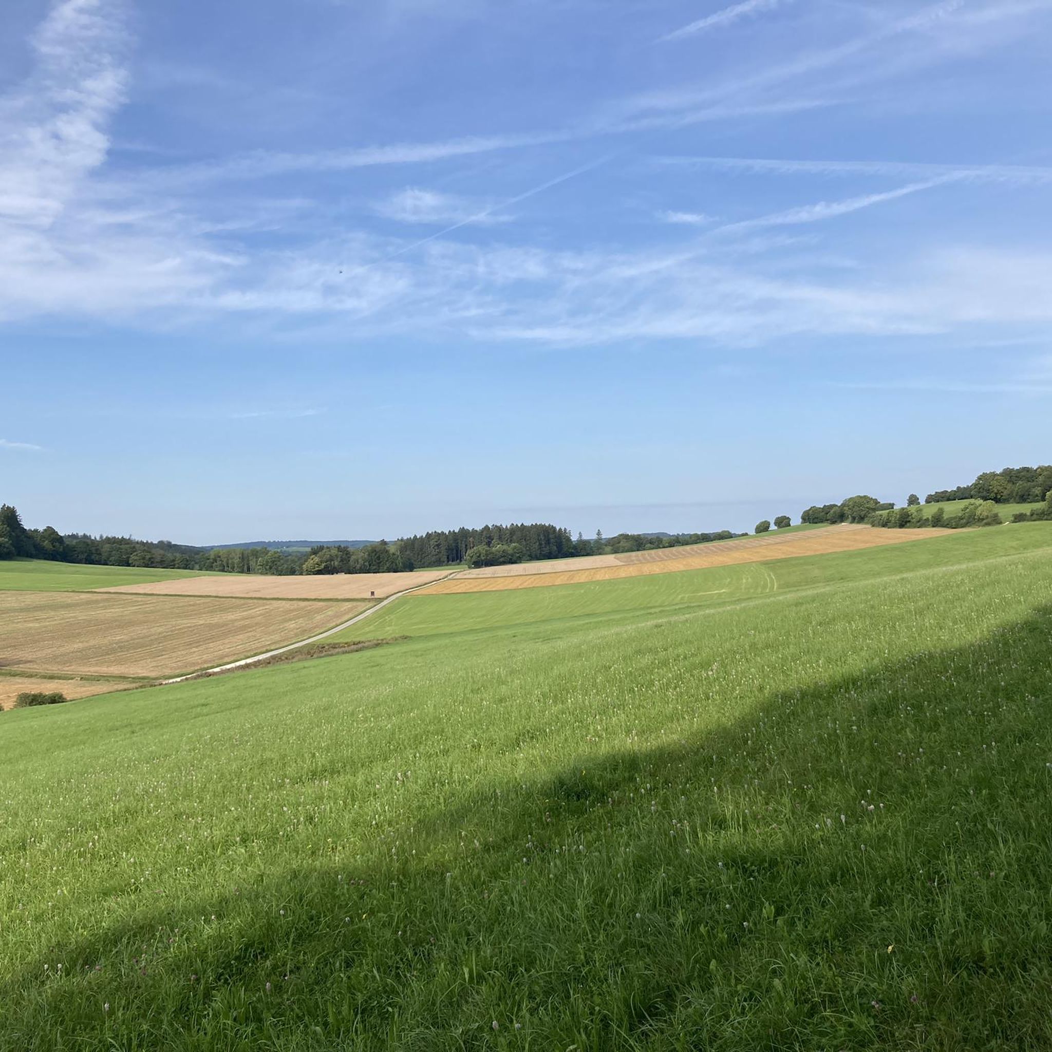
Road cycling in Benjamin Rush State Park primarily involves multi-use gravel trails within its 275 acres, which may not be suitable for traditional road bikes. The park features open meadows and wooded areas, with Poquessing Creek forming its northern boundary. While the park's internal trails are largely unpaved, the surrounding region offers road cycling routes that connect to the broader Fairmount Park system. These routes navigate varied terrain, including urban fringes and natural landscapes.
Best road cycling routes in Benjamin…
Last updated: September 30, 2026
55.4km
02:51
380m
380m
Moderate road ride. Good fitness required. Mostly well-paved surfaces and easy to ride.
2
riders
32.7km
01:22
180m
180m
Easy road ride. Great for any fitness level. Mostly well-paved surfaces and easy to ride.

5.0
(2)
30
riders
38.4km
01:56
240m
240m
Easy road ride. Great for any fitness level. Mostly well-paved surfaces and easy to ride.
2
riders
34.3km
01:52
350m
350m
Moderate road ride. Good fitness required. Mostly well-paved surfaces and easy to ride.
2
riders
35.7km
01:38
220m
220m
Easy road ride. Great for any fitness level. Mostly well-paved surfaces and easy to ride.
Our route recommendations are based on thousands of hikes, rides, and runs completed by other people on komoot.
Start today with a free account
Your next adventure awaits.
Popular around Benjamin Rush State Park



Tips from the Community

The trail offers a shaded, paved path enveloped by verdant landscapes in all directions. Following the Penny Pack Creek, it winds alongside the water, enhancing its enchanting allure throughout the entire route.
0
0
The trail offers a shaded, paved path enveloped by verdant landscapes in all directions. Following the Penny Pack Creek, it winds alongside the water, enhancing its enchanting allure throughout the entire route.
0
0

This small wetland area / lake on Cindy Lane brings some nature, wildlife, birds and butterflies to the residential area.
0
0

Located just a short distance outside of Philadelphia, Tyler State Park spans over 1,711 acres in Bucks County with designated hiking trails and especially beautiful autumnal foliage.
0
0

This trail is paved and follows the Pennypack Creek, passing through the Ed Kelly Amphitheater, where you might have the chance to catch a live show. After you transition from the paved portion, it's important to stay attentive, as some segments of the dirt trail can be a bit overgrown.
0
0

Frequently Asked Questions
Are the trails within Benjamin Rush State Park suitable for traditional road bikes?
The trails within Benjamin Rush State Park are primarily multi-use gravel paths, which are generally not ideal for traditional road bikes with narrow tires. These surfaces are better suited for gravel bikes, mountain bikes, or e-bikes. For dedicated paved road cycling, the routes in the surrounding region that connect to the broader Fairmount Park system are more appropriate.
How many road cycling routes are available in the Benjamin Rush State Park area?
There are 5 road cycling routes available in the Benjamin Rush State Park area, as curated by the komoot community. These routes offer a variety of experiences, connecting to regional trail networks and exploring open meadows and wooded areas.
What are some of the easier road cycling routes in the region?
For an easier ride, consider the Pennypack Trail – Pennypack Trail loop from Milbrook, which is 20.3 miles (32.7 km) long. Another easy option is the Pennypack Trail – Pennypack Trail loop from Philmont, covering 20.9 miles (33.6 km).
Are there any longer or more challenging road cycling routes nearby?
Yes, for a more moderate challenge, you can explore the Penrose Walk Wetland loop from Trevose, which is 34.5 miles (55.5 km) with moderate elevation changes. Another moderate option is the Washington Crossing Bridge – Canal Bridge to the 1799 House loop from Langhorne, a 35.6 miles (57.3 km) route through historical areas.
What natural features or landmarks can I expect to see while road cycling in the Benjamin Rush State Park region?
While the park itself features expansive meadows, Pennsylvania woodlands, and the Poquessing Creek, the regional road cycling routes often connect to broader natural landscapes. You might encounter wetland areas, as seen on the Penrose Walk Wetland loop from Trevose, or follow trails like the Pennypack Trail through wooded sections and open spaces.
What do other road cyclists say about the routes in the Benjamin Rush State Park area?
The routes in the Benjamin Rush State Park area are highly rated by the komoot community, with an average score of 5.0 stars from 2 reviews. Cyclists often appreciate the varied terrain and the connections to regional trail networks that allow for diverse riding experiences.
Is Benjamin Rush State Park suitable for family-friendly biking?
Benjamin Rush State Park's internal multi-use gravel trails are suitable for general biking and families with appropriate bikes (mountain bikes, gravel bikes, or e-bikes). However, for families specifically seeking paved road cycling, the regional routes connecting to the broader Fairmount Park system would be more suitable.
What is the best time of year for road cycling in this region?
The best time for road cycling in the Benjamin Rush State Park region is typically during spring, summer, and fall. Spring brings wildflowers to the meadows, while fall offers pleasant temperatures and scenic foliage. Summer can be warm, so early morning or late afternoon rides are often preferred. Winter cycling is possible but requires appropriate gear for colder temperatures and potential icy conditions.
Are there any loop routes available for road cycling?
Yes, many of the road cycling routes in the area are designed as loops. Examples include the Pennypack Trail – Pennypack Trail loop from Milbrook and the Washington Crossing Bridge – Canal Bridge to the 1799 House loop from Langhorne, offering convenient circular journeys.
Where can I find more information about Benjamin Rush State Park itself?
For more detailed information about Benjamin Rush State Park, including its facilities and other activities, you can visit the official Pennsylvania Department of Conservation and Natural Resources (DCNR) website: pa.gov - Benjamin Rush State Park.
Are there any other state parks nearby with road cycling opportunities?
Yes, the region offers connections to other areas. For instance, the Tyler State Park – Neshaminny Creek Crossing loop from Bellewood Preserve is a moderate 21.3 miles (34.3 km) route that explores the vicinity of Tyler State Park.
Most popular routes in Benjamin Rush State Park

Get inspired with the komoot mobile app


Explore more
Browse the best Road cycling routes in other regions.
