The best cycling routes in Patapsco Valley State Park Avalon Area
4.6
(80)
590
riders
65
rides
Touring cycling in Patapsco Valley State Park Avalon Area features routes through a landscape defined by the Patapsco River, dense woodlands, and varied terrain. The park's topography includes river valleys and rolling hills, providing diverse cycling experiences. This area is characterized by its natural beauty and a network of trails suitable for different skill levels.
Best touring cycling routes in Patapsco Valley State Park Avalon Area
- The most popular touring cycling route is Lost Lake – Grist Mill Trail viewpoint…
Last updated: October 5, 2026
13
riders
38.6km
02:21
280m
280m
The BWI Trail offers a moderate 24.0-mile (38.6 km) touring cycling loop that uniquely encircles an international airport, yet still delivers surprisingly varied and peaceful scenery. You'll pedal through wooded…
12
riders
27.6km
01:43
190m
190m
Moderate bike ride. Good fitness required. Mostly paved surfaces. Suitable for all skill levels.

4.0
(1)
2
riders
20.3km
01:18
190m
190m
Moderate bike ride. Good fitness required. Mostly paved surfaces. Suitable for all skill levels.
7
riders
9.72km
00:36
70m
70m
Easy bike ride. Great for any fitness level. Mostly paved surfaces. Suitable for all skill levels.
4.0
(1)
2
riders
30.9km
01:58
330m
330m
Moderate bike ride. Good fitness required. Mostly paved surfaces. Suitable for all skill levels.
Get access to more routes and recommendations from other explorers.
Already have an account?
Our route recommendations are based on thousands of hikes, rides, and runs completed by other people on komoot.
Start today with a free account
Your next adventure awaits.
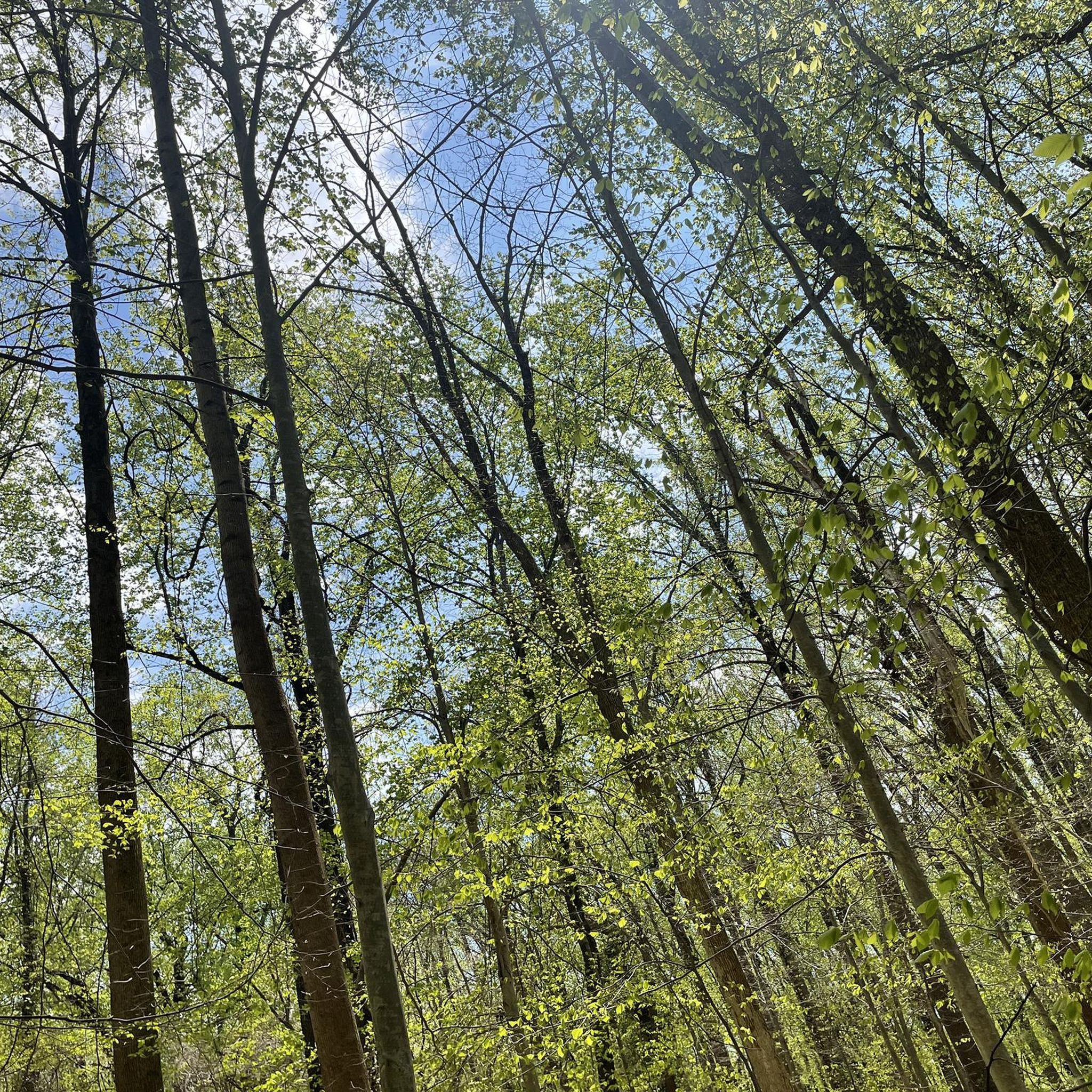
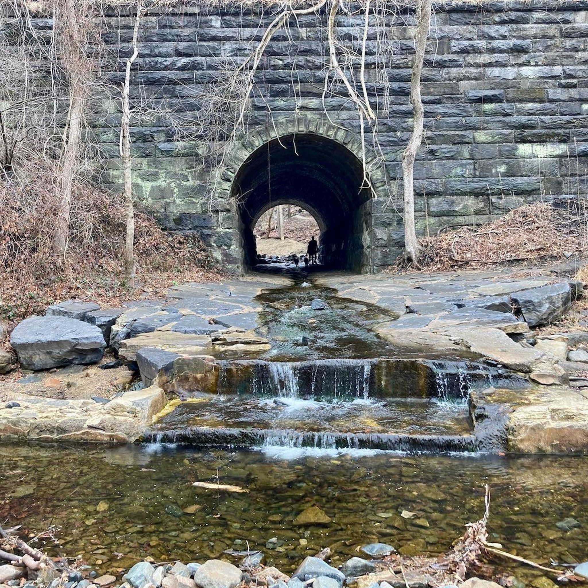
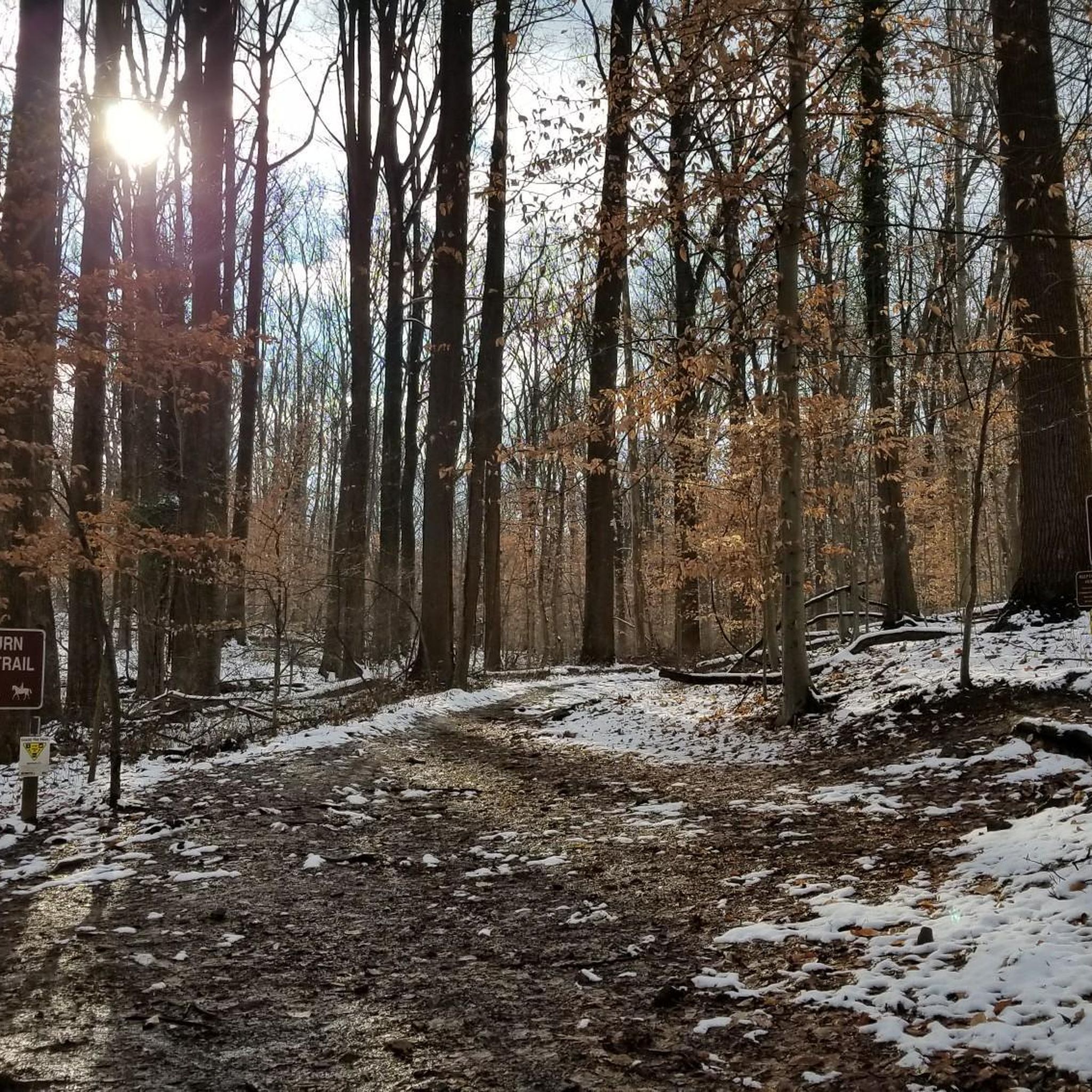

Tips from the Community

It gets very cold as you get close to Patapsco River near the bridge. The bridge does move a little but very secure as you cross it. Be mindful if you’re wearing a skirt (Ms Monroe)
0
0

The Grist Mill Trail crosses over the Patapsco River here. You get a great view over the water from here too.
0
0

The Ilchester Road access point to the Ridge Trail offers a thrilling start for cyclists exploring Patapsco Valley State Park. Expect a steep, technical climb with rocky sections, rewarding you with flowing trails and forest views at the top. For a longer ride, connect to the Orange Grove area to enjoy smoother paths and cross the historic swinging bridge. Be prepared for limited parking and challenging terrain that tests both endurance and skill.
0
0

The Patapsco Valley was Maryland's first and remains its largest state park. The 14,000 acres (5,700 ha) are made up of forests, winding rivers and cascading waterfalls. It's a great place for hiking, camping, canoeing, horseback riding and mountain biking. Or simply just bring a picnic and relax by the river. Some historical sites are also worth visiting in the park such as the Thomas Viaduct and Orange Grove Flour Mill.
0
0

The Benjamin Banneker Historical Park and Museum pays tribute to the life and achievements of Benjamin Banneker, an African American scientist, surveyor, and astronomer. The park encompasses his former farmstead and features educational exhibits.
0
0

The BWI Trail is an 11-mile asphalt trail that encircles the BWI Airport. It was designed with commuters in mind, but it also makes for a great recreational outing.
0
0

This popular swinging bridge crosses the Patapsco River. It is a wooden suspension bridge with metal cables. On the bridge you'll have great views of the river and surrounding woodland. It isn't too high up, so even if you're afraid of heights it's still worth passing over the bridge. Be courteous of other pedestrians as the bridge is fairly narrow!
1
0
The Grist Mist Trail passes through the Patapsco Valley State Park, alongside the Patapsco River. For a large part of the trail it also passes alongside the railroad. The surface is mostly paved and quite flat so well suited to families and kids. There are various historic sites of interest alongside the trail, including the famous swinging bridge which was originally used by mill workers to cross the river.
1
0
Frequently Asked Questions
What are the difficulty levels of touring cycling routes in Patapsco Valley State Park Avalon Area?
Patapsco Valley State Park Avalon Area offers a range of touring cycling routes to suit various skill levels. You'll find 22 easy routes, 42 moderate routes, and 7 more challenging routes, ensuring options for beginners to experienced cyclists.
Are there easy touring cycling routes suitable for beginners or families?
Yes, the Avalon Area has several easy touring cycling routes perfect for beginners or families. A great option is the Lost Lake – Grist Mill Trail viewpoint loop from Belmont Estate, which is 5.1 miles (8.2 km) long and offers scenic views along the Patapsco River. Another easy choice is the Lost Lake – Patapsco Valley State Park loop from Saint Denis, an 11.5-mile (18.6 km) trail through woodlands.
Where can I find parking and trailheads for touring cycling in the Avalon Area?
Patapsco Valley State Park Avalon Area provides various parking lots and trailheads. Common access points include the Avalon Area entrance off South Street, which leads to parking near the Grist Mill Trail. Specific trailheads are often located near popular routes, so checking the start point of your chosen tour on komoot will provide precise parking information.
Is public transport available to reach the bike trails in Patapsco Valley State Park Avalon Area?
While direct public transport to specific trailheads within the Avalon Area can be limited, some routes, like the BWI Trail, are accessible via public transport options that serve the Baltimore-Washington International Airport area. For other routes, a combination of public transport to nearby towns and a short ride or taxi may be necessary.
What is the best season for touring cycling in Patapsco Valley State Park Avalon Area?
The best seasons for touring cycling in Patapsco Valley State Park Avalon Area are typically spring and autumn. During these times, the weather is mild, and the natural scenery, with blooming wildflowers or vibrant fall foliage, is particularly beautiful. Summer can also be enjoyable, though it can be warmer and more humid, while winter may present icy conditions on some trails.
What should I bring for a bike ride in Patapsco Valley State Park Avalon Area?
When touring cycling in the Avalon Area, it's advisable to bring plenty of water, snacks, a basic bike repair kit (including a spare tube and pump), and appropriate weather-dependent clothing. Sunscreen, insect repellent, and a helmet are also highly recommended for safety and comfort.
Are there cafes or restaurants near the touring cycling routes?
While Patapsco Valley State Park Avalon Area itself is primarily natural, there are cafes and restaurants in the nearby towns and communities such as Ellicott City, Catonsville, and Arbutus. These towns offer various dining options for pre- or post-ride refreshments.
Are there any scenic viewpoints along the touring cycling routes?
Yes, the Avalon Area is known for its scenic beauty. Routes often follow the Patapsco River, offering picturesque views of the water and surrounding woodlands. The Lost Lake – Grist Mill Trail viewpoint loop from Belmont Estate, for example, is specifically highlighted for its scenic viewpoints.
What do other touring cyclists enjoy the most about touring cycling in Patapsco Valley State Park Avalon Area?
The area is highly rated by the komoot community, with an average score of 4.7 stars from over 60 reviews. Reviewers often praise the diverse terrain, the beauty of the Patapsco River, and the well-maintained trails that cater to various skill levels, making it a rewarding experience for many.
Are there any longer touring cycling routes for extended rides?
For longer rides, consider routes like the Patapsco Valley State Park – Wilde Lake loop from Saint Denis, which covers 46.9 miles (75.5 km) and offers a substantial touring experience. Another good option for a longer ride is the BWI Trail, a moderate 23.9 miles (38.6 km) paved path.
How many touring cycling routes are available in Patapsco Valley State Park Avalon Area?
There are over 70 touring cycling routes available in Patapsco Valley State Park Avalon Area, providing a wide selection for cyclists of all abilities and preferences.
Most popular routes in Patapsco Valley State Park Avalon Area

Get inspired with the komoot mobile app


Explore more
Browse the best Cycling routes in other regions.
