The best cycling routes in Rutland State Park
5.0
(4)
59
riders
7
rides
If you've ever tried to plan touring cycling in Rutland State Park, you know how overwhelming the options can be. With so many trails crisscrossing the area, it's tough to figure out which routes are genuinely worth your time and effort, and which are just filler. We get it – you want the highlights, not the guesswork.
That's where komoot comes in. Our community has meticulously mapped, ridden, and reviewed the best touring cycling routes here, saving you the hassle.…
Last updated: June 5, 2026
5.0
(2)
25
riders
20.9km
01:47
190m
190m
Moderate bike ride. Good fitness required. Mostly paved surfaces. Suitable for all skill levels.
4
riders
25.3km
02:18
220m
220m
Moderate bike ride. Good fitness required. Mostly paved surfaces. Suitable for all skill levels.

1
riders
28.0km
01:51
300m
310m
Moderate bike ride. Good fitness required. Mostly paved surfaces. Suitable for all skill levels.
5.0
(1)
22
riders
24.7km
02:13
150m
150m
Moderate bike ride. Good fitness required. Mostly paved surfaces. Suitable for all skill levels.
Get access to more routes and recommendations from other explorers.
Already have an account?
Our route recommendations are based on thousands of hikes, rides, and runs completed by other people on komoot.
Start today with a free account
Your next adventure awaits.


Tips from the Community


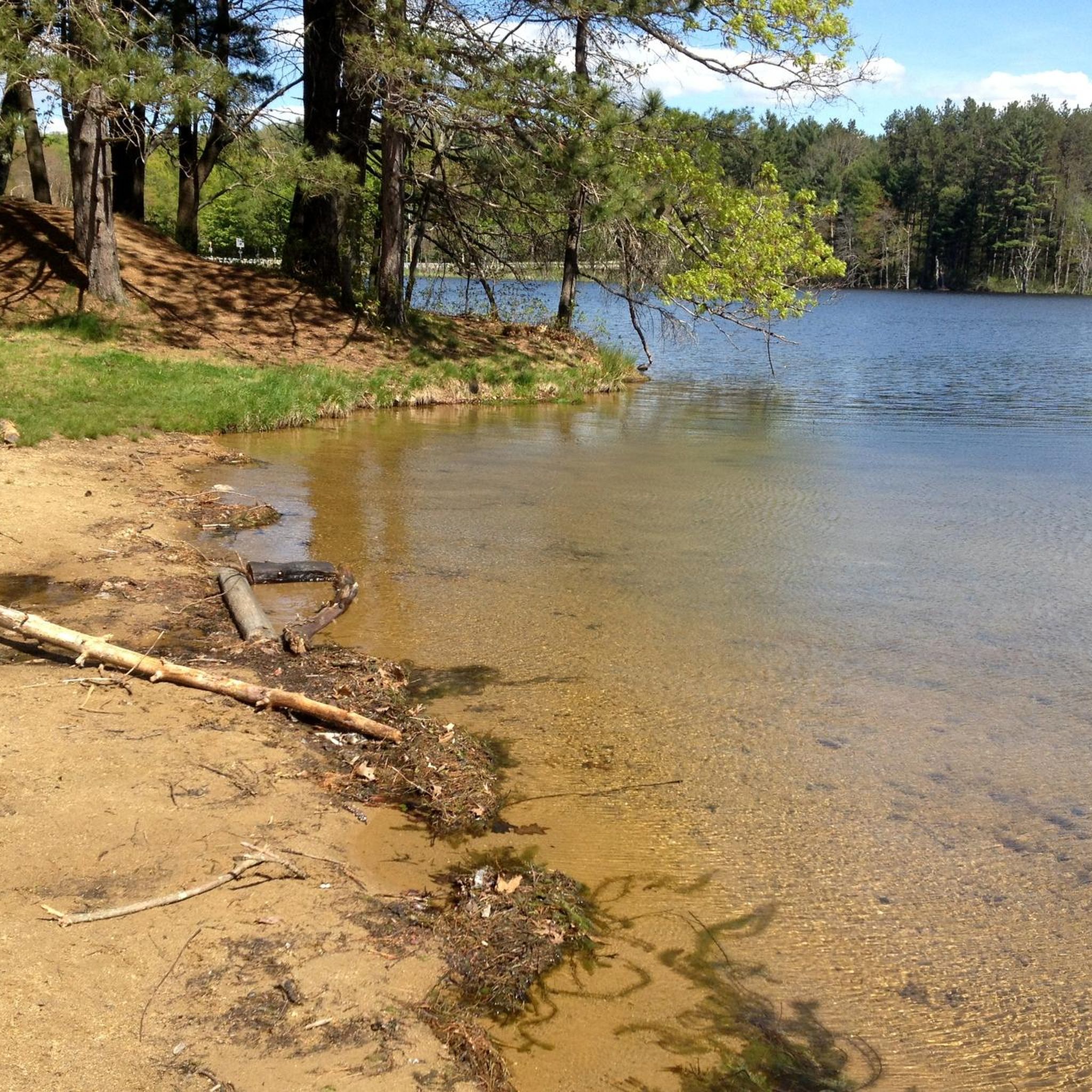
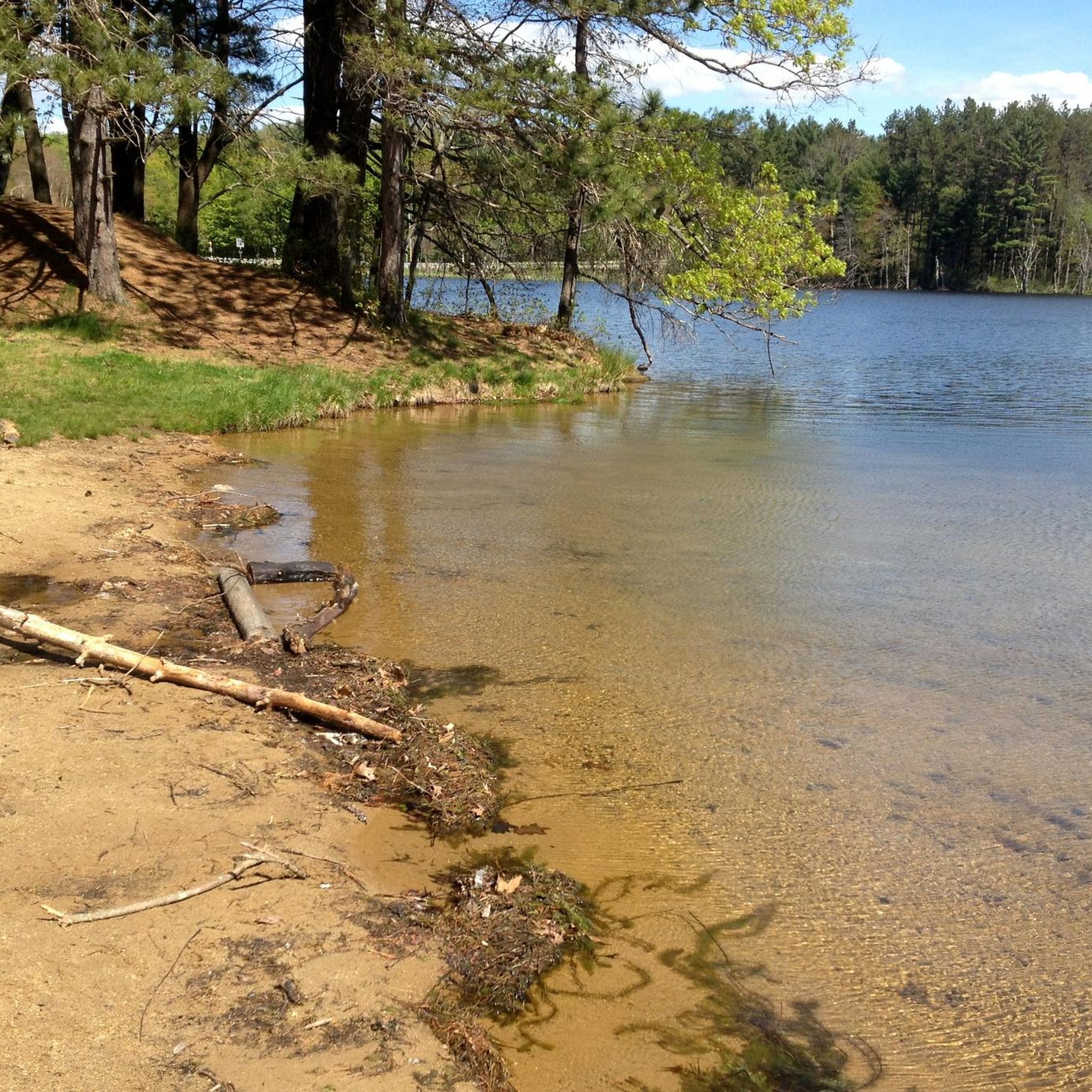
Thayer Pond WMA is a 131-acre outdoor playground with the Central Mass Rail Trail running through it. You can enjoy wildlife viewing, hunting, and fishing in this natural landscape. The eastern part of the preserve is home to Thayer Pond, while the western part has a mixed hardwood forest with gray foxes and squirrels. Mill Brook flows through it, where you can spot several beaver impoundments along its banks.
0
0

The Barre Falls Dam is not just a dam. You will find many recreational opportunities within the wetlands and forests such as hiking, mountain biking, fishing and canoeing. There are even picnic shelters you can rent. If you like to hike take the 5-mile loop near Hubbardston.
0
0

Thayer Pond is a pretty big body of water for a pond, and it's just off the side of the Mass Central Rail Trail. You get good views of the water through the trees, and there are a couple of clearings with open views of the pond.
0
0
The Ware River Diversion Dam helps control the flow of water from the Quabbin Aqueduct into the Ware River. This is a really cool looking structure that you can see from the side of the trail.
0
0
Thayer Pond is a pretty big body of water for a pond, and it's just off the side of the Mass Central Rail Trail. You get good views of the water through the trees, and there are a couple of clearings with open views of the pond.
0
0

The Mass Central Rail Trail is a 59-mile paved trail that is planned to extend to 104 miles from Boston to Northampton.
0
0
The Ware River is a 35.4-mile river with two forks; the West Fork that starts in Hubbardston and the East Branch that starts in Westminster.
0
0
Frequently Asked Questions
What are the general difficulty levels for touring cycling in Rutland State Park?
Rutland State Park offers a range of touring cycling routes, primarily catering to easy and moderate skill levels. You'll find 1 easy route and 6 moderate routes, making it accessible for various experience levels. There are no routes classified as difficult.
Are there any easy or beginner-friendly touring cycling routes in Rutland State Park?
Yes, for those seeking an easier ride, the Bike loop from Browning Pond is a great option. This 5.3-mile (8.5 km) route is classified as easy and typically takes about 45 minutes to complete, offering scenic pond-side views.
What kind of terrain can I expect on touring cycling routes in Rutland State Park?
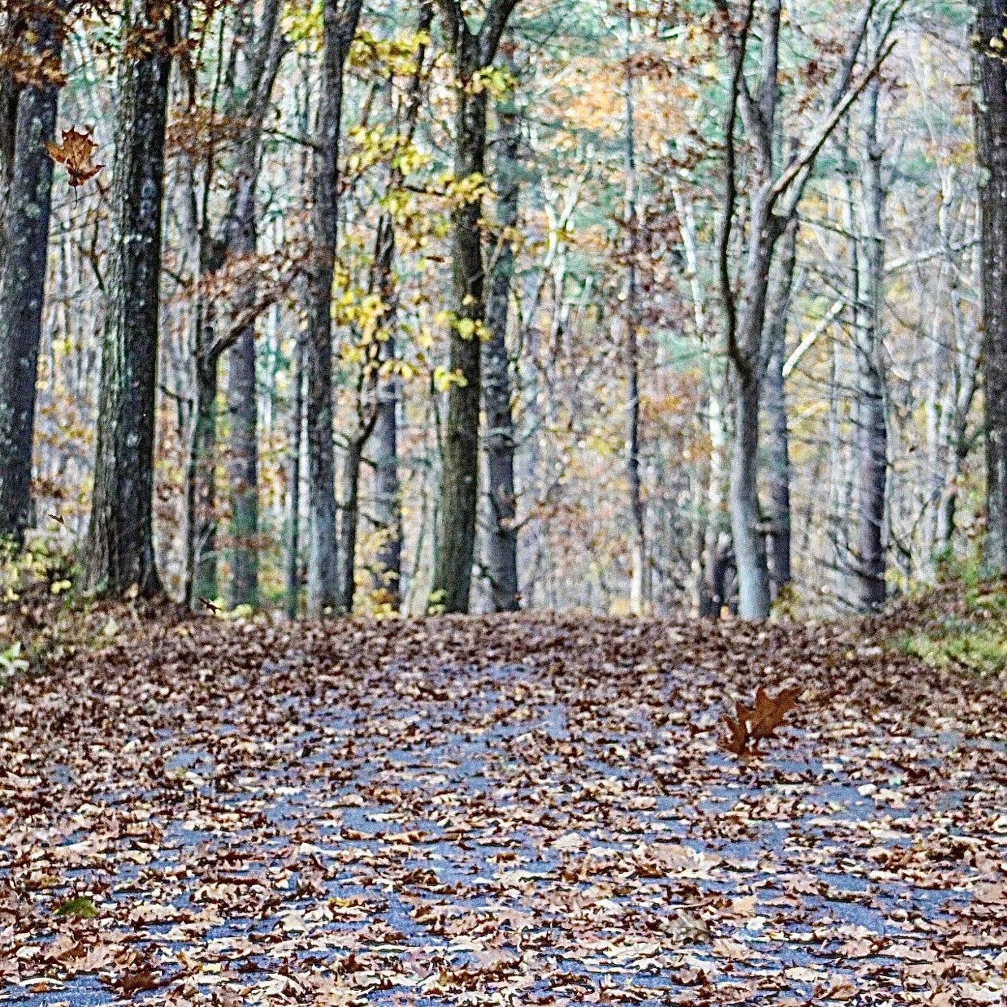
The terrain in Rutland State Park is characterized by rolling hills, with no peaks exceeding 200m. Many routes utilize sections of the Mass Central Rail Trail, providing relatively flat and accessible paths. You'll cycle through a mix of woodlands, open areas, and along waterways like the Ware River and Browning Pond.
Are there any circular touring cycling routes in Rutland State Park?
Yes, many of the touring cycling routes in Rutland State Park are designed as loops. For example, the popular Mass Central Rail Trail – Thayer Pond WMA loop from Rutland is a 15.7-mile (25.3 km) circular route, and the Ware River Diversion Dam loop from Oakham also offers a scenic circular experience.
What is the best time of year for touring cycling in Rutland State Park?
While specific conditions vary, spring, summer, and fall generally offer the best touring cycling experiences in Rutland State Park. Spring brings lush greenery, summer provides warm weather, and fall showcases vibrant foliage. Always check local weather conditions before heading out, especially for rain or extreme temperatures.
What do other touring cyclists enjoy about Rutland State Park?
The area is highly rated by the komoot community, with an average score of 5.0 stars from 2 reviews. Cyclists often praise the diverse landscapes, the accessibility of the rail trail sections, and the peaceful atmosphere found along the forested paths and waterways.
Are there opportunities for wildlife viewing while touring cycling in Rutland State Park?
Rutland State Park's diverse ecosystems, including woodlands, open areas, and waterways like the Ware River and Browning Pond, provide habitats for various wildlife. Cyclists may have opportunities to spot local birds, small mammals, and other native species, especially during quieter times of day.
Where can I find parking for touring cycling routes in Rutland State Park?
Parking is generally available at various access points around Rutland State Park, including near trailheads and popular starting points for routes. For instance, routes like the Mass Central Rail Trail – Thayer Pond WMA loop from Conservation Land often have designated parking areas nearby.
What are some longer touring cycling routes in Rutland State Park?
For a longer ride, consider the Ware River Diversion Dam loop from Oakham, which spans 17.6 miles (28.3 km). Another option is the Mass Central Rail Trail – Thayer Pond WMA loop from Rutland, covering 15.7 miles (25.3 km).
Are there any family-friendly touring cycling options in Rutland State Park?
Yes, Rutland State Park offers routes suitable for families. The Bike loop from Browning Pond is an easy 5.3-mile (8.5 km) route that is generally well-suited for families looking for a less strenuous ride. The relatively flat sections of the Mass Central Rail Trail also provide accessible paths for all ages.
How many touring cycling routes are available in Rutland State Park?
There are 7 touring cycling routes available in Rutland State Park, offering a variety of experiences for different skill levels and preferences.
What are the typical durations for touring cycling routes in Rutland State Park?
Route durations vary depending on length and difficulty. For example, the easy Bike loop from Browning Pond typically takes about 45 minutes, while moderate routes like the Thayer Pond WMA – Mass Central Rail Trail loop from Conservation Land can take around 1 hour 14 minutes.
Most popular routes in Rutland State Park

Get inspired with the komoot mobile app


Explore more
Browse the best Cycling routes in other regions.
