Billy Frank Jr. Nisqually National Wildlife Refuge
Billy Frank Jr. Nisqually National Wildlife Refuge
The best road cycling routes in Billy Frank Jr. Nisqually National Wildlife Refuge
4.6
(9)
41
riders
7
rides
Road cycling in Billy Frank Jr. Nisqually National Wildlife Refuge is characterized by its unique estuarine environment where the Nisqually River meets Puget Sound. While cycling is not permitted on the main refuge trails to protect wildlife, designated road cycling routes are available in the nearby Black River Unit. These routes traverse areas featuring a mosaic of habitats, including wetlands, riparian forests, and grasslands, offering views of the surrounding natural landscape. The terrain generally includes mostly paved surfaces, with some…
Last updated: October 1, 2026
5
riders
Easy road ride. Great for any fitness level. Mostly well-paved surfaces and easy to ride.
18
riders
44.7km
02:07
400m
400m
Moderate road ride. Good fitness required. Mostly well-paved surfaces and easy to ride.

5.0
(1)
7
riders
17.5km
00:43
30m
30m
Easy road ride. Great for any fitness level. Mostly well-paved surfaces and easy to ride.
4
riders
35.7km
01:50
420m
420m
Moderate road ride. Good fitness required. Mostly well-paved surfaces and easy to ride.
4.3
(8)
7
riders
Moderate road ride. Great for any fitness level. Some segments of this route may be unpaved and difficult to ride.
Get access to more routes and recommendations from other explorers.
Already have an account?
Our route recommendations are based on thousands of hikes, rides, and runs completed by other people on komoot.
Start today with a free account
Your next adventure awaits.
Popular around Billy Frank Jr. Nisqually National Wildlife Refuge

Tips from the Community

A hidden gate that allows you to walk between the closed off sections of road. Great for extending your ride into the neighbouring areas.
1
0

This is a great cafe/pub with a lovely patio, serving breakfast, lunch, and dinner. It's a fantastic spot to relax after a ride and sip on one of their signature brews, wines, or handcrafted spirits and snack on some delicious Cajun tots, a McMenamins staple.
0
0
Cute little beach park perfect for a quick dip in the summer. If you're lucky you might also get to see the local deer that frequent the beach. Well worth a visit for sunrise 🌄
0
0

Side trail unpaved is a spot to rest in the shade
0
0
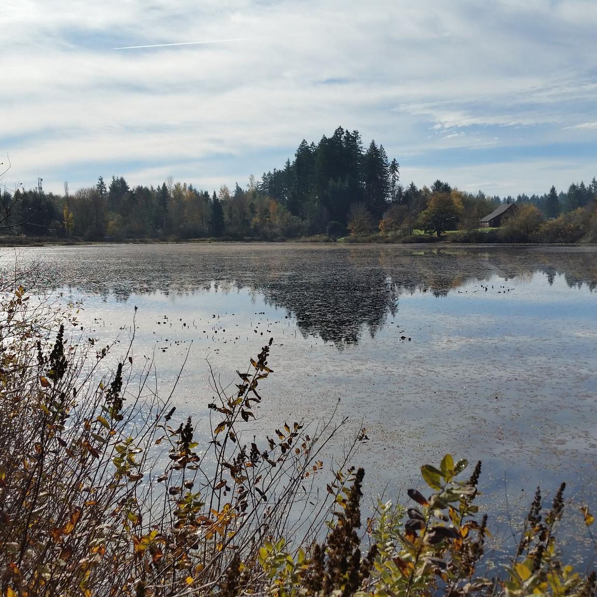
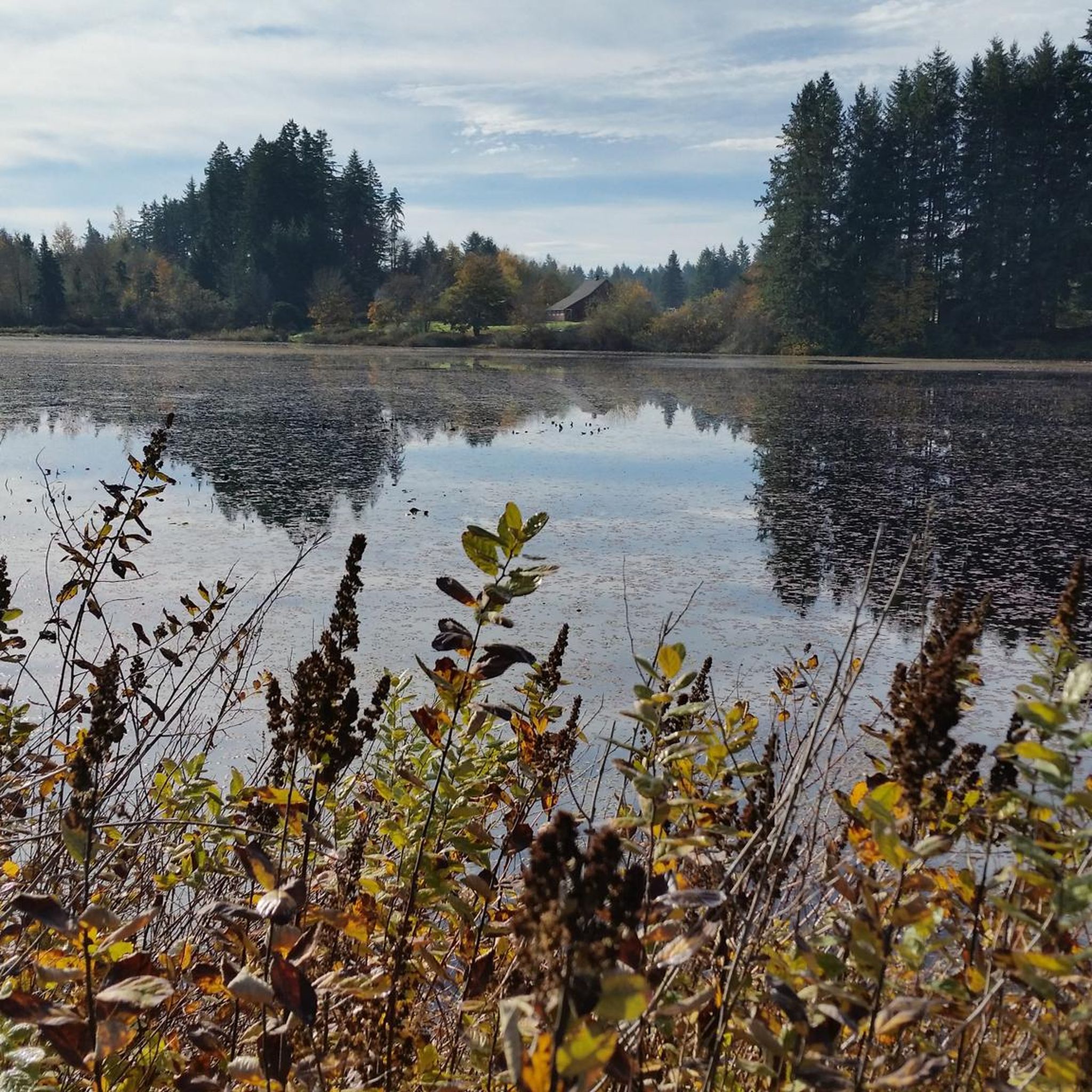
Short off-trail spot with 2 levels of benches to view the kettle pond, now with mass lillies covering most of it.
2
0

This Benedictine university was originally opened in 1895 as a boys' school. Many of the parking lots on campus come with a fee, but parking is free within walking distance of the Hal and Inge Marcus Pavilion.
0
0
All told this mostly paved multi-use trail runs about 22 miles, from Woodard Bay in the north to Vail in the south. This part of the trail is particularly pretty as it runs past Chambers Lake. If you need to log a lot of relatively flat miles, this is the place to do it.
1
0
Nestled between Dayton Street and the Karen Fraser Woodland Trail, Dmiller Lake is adjacent to Taylor Wetlands. This small yet beautiful lake is home to various waterfowl, including Ring-necked Ducks, Mallards, and Great Blue Herons. While you're here, listen for Song Sparrows and robins singing in the trees. It's the perfect spot to take a break and enjoy the tranquil scenery amongst the towering cedar and maple trees.
0
0
Frequently Asked Questions
Can I road cycle directly within the Billy Frank Jr. Nisqually National Wildlife Refuge?
No, road cycling is generally not permitted on the main refuge trails to minimize disturbance to wildlife and other visitors. However, cyclists arriving at the refuge by road are welcome, and a bicycle rack is available near the Norm Dicks Visitor Center. Designated cycling routes are available in the nearby Black River Unit.
Where can I find designated road cycling routes near the Billy Frank Jr. Nisqually National Wildlife Refuge?
Designated road cycling routes are primarily found in the nearby Black River Unit of the Billy Frank Jr. Nisqually National Wildlife Refuge. These routes offer various loops, such as those around Margaret McKenny Campground or E-Line Road, providing opportunities for different fitness levels.
What is the typical terrain and difficulty of road cycling routes near the refuge?
The road cycling routes in the area generally feature mostly paved surfaces, though some unpaved segments may be encountered. Difficulty levels vary, with options ranging from easy to moderate. For example, the Chehalis Western Trail – Chehalis Western Trail loop from Lacey is rated easy, while routes like Roadbike loop from Devils Head are moderate with significant elevation gain.
Are there family-friendly road cycling routes available?
Yes, there are options suitable for families. Routes like the Chehalis Western Trail – Chehalis Western Trail loop from Lacey are rated as easy, making them a good choice for a more relaxed family outing. These routes typically have less elevation gain and are shorter in duration.
What kind of views or natural features can I expect on road cycling routes in the area?
While cycling is not on the main refuge trails, routes in the surrounding area traverse a mosaic of habitats including wetlands, riparian forests, and grasslands. On clear days, you might catch glimpses of the Nisqually Estuary and potentially views of Mount Rainier and the Olympic Mountain range from certain vantage points along the roads.
Is it possible to spot wildlife while road cycling near the refuge?
While the primary wildlife viewing areas are within the refuge's walking trails, the surrounding road cycling routes pass through diverse natural landscapes. You may still encounter various bird species, small mammals, and other local wildlife, especially in quieter sections or during early morning/late evening rides.
Where can I park my car when planning a road cycling trip near the refuge?
For those visiting the main refuge, a bicycle rack is available near the Norm Dicks Visitor Center. For road cycling routes in the Black River Unit or other nearby areas, specific parking information would depend on the trailhead or starting point of your chosen route. Many routes start from towns like Lacey or DuPont, which offer public parking options.
What is the best time of year for road cycling near the Billy Frank Jr. Nisqually National Wildlife Refuge?
The region experiences a temperate climate. Spring and fall generally offer pleasant temperatures and beautiful scenery, making them ideal for cycling. Summer can also be excellent, though it's wise to start earlier in the day to avoid the warmest temperatures. Winter cycling is possible but may involve cooler, wetter conditions.
How long do road cycling routes near the refuge typically take?
Route durations vary significantly based on distance and elevation. Shorter, easier routes like the Chehalis Western Trail – Chehalis Western Trail loop from Lacey can be completed in under an hour. Longer, moderate routes such as the Sunnyside Beach Park – Grandview Trail loop from DuPont can take over two hours, with some challenging rides exceeding five hours.
Are road cycling routes near the refuge dog-friendly?
While the main refuge trails have specific rules regarding pets to protect wildlife, road cycling routes on public roads or designated multi-use paths outside the core refuge area may allow dogs, typically on a leash. Always check local regulations for the specific route you plan to ride, as policies can vary.
What do other road cyclists say about the routes near Billy Frank Jr. Nisqually National Wildlife Refuge?
The road cycling routes in the area are highly rated by the komoot community, with an average score of 4.75 stars from over 5 reviews. Cyclists often praise the varied terrain, the estuarine views, and the options available for different ability levels, making it a rewarding experience for many.
Are there any cafes or places to eat near the road cycling routes?
Yes, routes often start or pass near towns like Lacey or DuPont, which offer various amenities including cafes and restaurants. For example, the Taylor Wetlands and Side Trail – McMenamins Spar Café loop from Lacey specifically mentions a local cafe, providing convenient stops for refreshments during your ride.
Most popular routes in Billy Frank Jr. Nisqually National Wildlife Refuge

Get inspired with the komoot mobile app


Explore more
Browse the best Road cycling routes in other regions.
