The best road cycling routes around Donaustauf
4.5
(2153)
38,235
riders
549
rides
Road cycling around Donaustauf is characterized by its diverse terrain, transitioning from the wide Danube plain to the hilly uplands of the Bavarian Forest. The region features flat riverside paths along the Danube River, as well as more undulating forest roads and gentle hills. This varied topography provides a range of road cycling routes suitable for different skill levels.
Best road cycling routes around Donaustauf
- The most popular road cycling route is Chinese Tower, Donaustauf – View of the Walhalla loop from Donaustauf, a 48.5 miles (78.0 km) trail that takes 3 hours 34 minutes to complete. This moderate route offers panoramic views of the iconic Walhalla.
- Another top favourite among local road cyclists is View of the Walhalla – View of Walhalla loop from Tegernheim, a moderate 31.1 miles (49.9 km) path. This route provides extensive views of the Walhalla Memorial and the surrounding Danube valley.
- Local road cyclists also love the View of Walhalla – St. George's Church, Schwabelweis loop from Tegernheim, a 18.1 miles (29.1 km) trail leading through the Danube valley with views of Walhalla and St. Georg Church, often completed in about 1 hour 12 minutes.
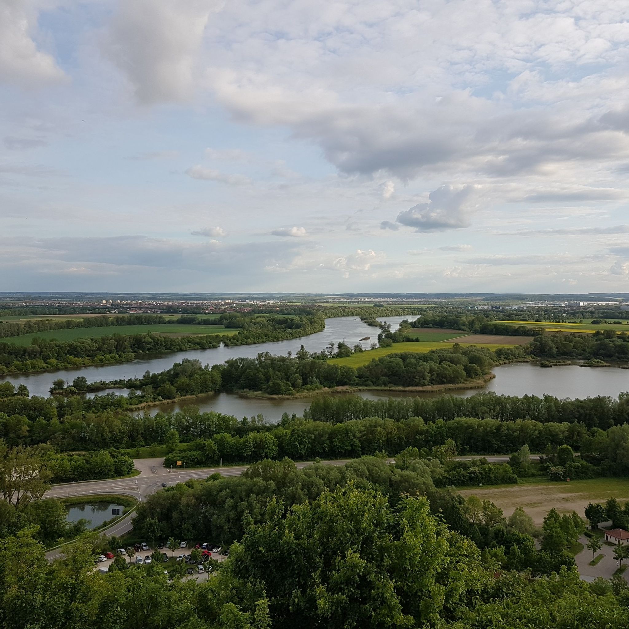
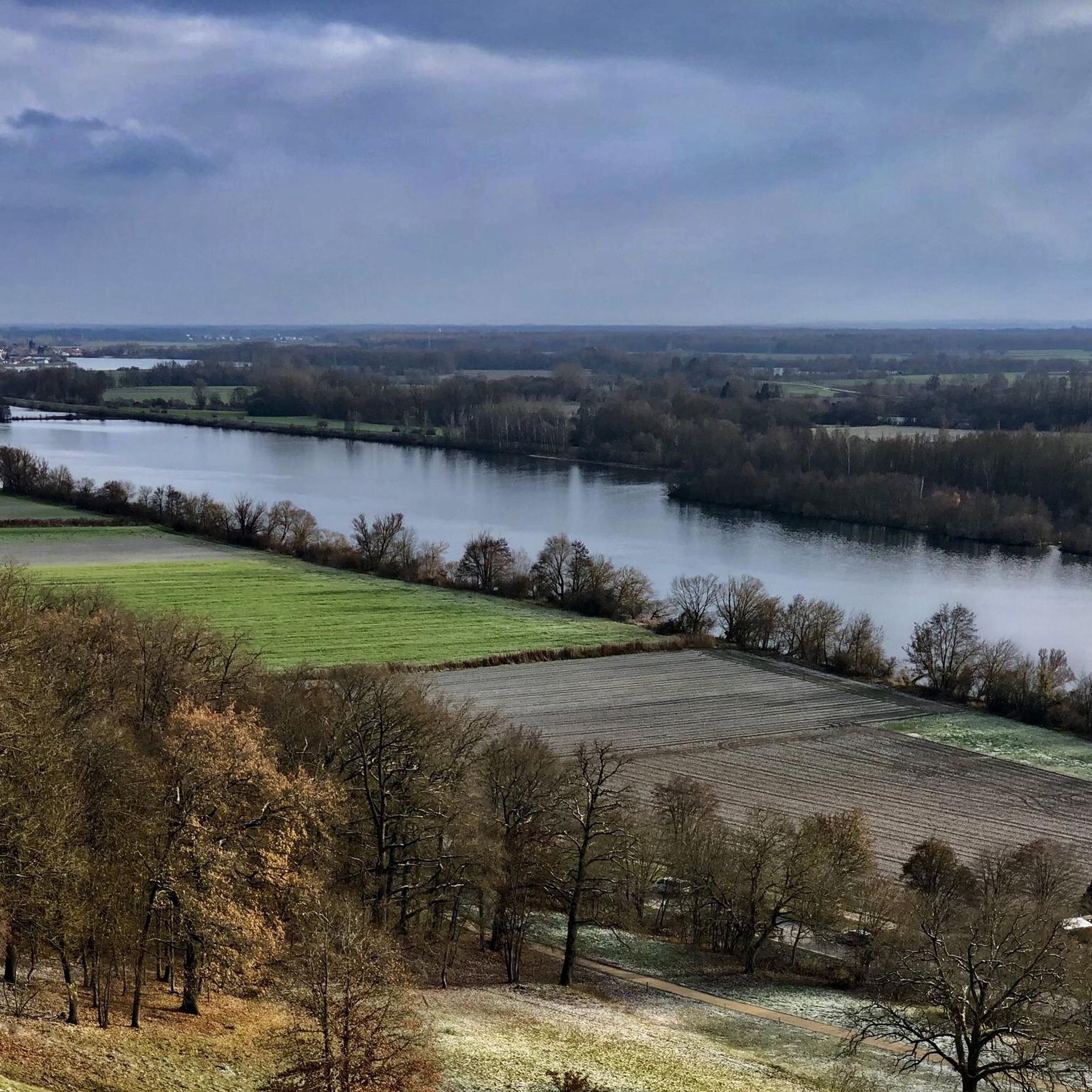
- Road cycling around Donaustauf is defined by the Danube River, gentle hills, and green meadows. The network offers options for both relaxed rides along the river and more ambitious routes through the surrounding uplands.
- The routes in Donaustauf are highly rated by the komoot community with an average score of 4.6 stars from over 1600 reviews. More than 33000 road cyclists have used komoot to explore Donaustauf's varied terrain.
Last updated: September 30, 2026
4.7
(3)
99
riders
50.9km
02:08
300m
310m
Moderate road ride. Good fitness required. Mostly well-paved surfaces and easy to ride.
5.0
(1)
45
riders
32.0km
01:31
90m
90m
Moderate road ride. Great for any fitness level. Some segments of this route may be unpaved and difficult to ride.

5.0
(25)
37
riders
23.3km
00:52
30m
30m
Moderate road ride. Great for any fitness level. Some segments of this route may be unpaved and difficult to ride.
5.0
(1)
27
riders
78.7km
03:36
760m
760m
Moderate road ride. Good fitness required. Mostly well-paved surfaces and easy to ride.
5.0
(1)
25
riders
29.1km
01:13
110m
110m
Easy road ride. Great for any fitness level. Mostly well-paved surfaces and easy to ride.
Get access to more routes and recommendations from other explorers.
Already have an account?
Our route recommendations are based on thousands of hikes, rides, and runs completed by other people on komoot.
Start today with a free account
Your next adventure awaits.
Tips from the Community

is especially worthwhile when there are hardly any crowds. Are there still such situations?
0
0

unfortunately you couldn't swim too many algae
0
0


A wonderful technical monument and a true piece of history.
1
2
The Bavarian city of Regensburg is located on the Danube in southeastern Germany and is known for its well-preserved medieval center. One of its landmarks is the Stone Bridge from the 12th century. It is 310 m long, has 16 arches, and connects the Stadtamhof district with the old town. Another important landmark is the Gothic Cathedral from the 13th century with its twin towers. The Regensburger Domspatzen choir is based here. The Walhalla, a memorial built in the style of the Parthenon east of the city, honors important German personalities.
2
1


Beautiful at any time of day
0
1
Frequently Asked Questions
What kind of terrain can I expect on road cycling routes around Donaustauf?
Road cycling around Donaustauf offers a diverse landscape. You'll find flat riverside paths along the Danube River, ideal for relaxed rides, as well as more undulating forest roads and gentle hills as you venture towards the foothills of the Bavarian Forest. This varied topography provides options for different skill levels.
Are there road cycling routes suitable for beginners or families in Donaustauf?
Yes, the region offers routes suitable for various skill levels. The renowned Danube Cycle Path, also known as the "Tour de Baroque," traverses the southern part of Donaustauf and provides relaxed rides along the river with minimal elevation changes, making it suitable for families and those seeking leisurely exploration.
What are some notable landmarks or viewpoints I can see along the road cycling routes?
Many routes offer views of historical landmarks and scenic points. A prominent feature is the magnificent Walhalla, a neoclassical temple perched on a hill above the Danube. You might also pass by the Donaustauf Castle Ruins, offering panoramic views, or the distinctive Chinese Tower in the Fürstengarten. The Chinese Tower, Donaustauf – View of the Walhalla loop from Donaustauf route is a great option for scenic views.
What natural features characterize the road cycling experience in Donaustauf?
The region is defined by the Danube River and its valley, offering scenic paths along its banks. As you move away from the river, you'll encounter gentle hills and green meadows, transitioning into the foothills of the Bavarian Forest with its dense woodlands. The diverse landscape provides a mix of open views and shaded forest sections.
What is the best time of year for road cycling in Donaustauf?
While cycling is enjoyable throughout the warmer months, July and August are particularly popular times for road cycling in Donaustauf. The weather during these months is generally favorable for exploring the region's routes.
Are there any specific road cycling routes that offer extensive views of the Walhalla Memorial?
Yes, several routes are known for their views of the Walhalla. For example, the Walhalla Memorial – View of the Walhalla loop from Donaustauf is a popular moderate route that provides extensive views of the memorial and the surrounding Danube valley. Another option is the View of Walhalla – St. Georg Church, Schwabelweis loop from Donaustauf.
How long are the road cycling routes typically around Donaustauf?
The routes vary in length to accommodate different preferences. For instance, the View of Walhalla – St. Georg Church, Schwabelweis loop from Donaustauf is about 20 miles (32.5 km), while the Chinese Tower, Donaustauf – View of the Walhalla loop from Donaustauf extends to approximately 48.5 miles (78.0 km). You can find routes ranging from shorter loops to longer, more challenging rides.
What do other road cyclists think about the routes in Donaustauf?
The road cycling routes in Donaustauf are highly regarded by the komoot community, holding an average rating of 4.6 stars from over 1200 reviews. Cyclists often praise the diverse terrain, the scenic views of historical landmarks like Walhalla, and the mix of flat riverside paths and challenging hilly sections.
Are there any lakes or recreational areas near the cycling routes for a break?
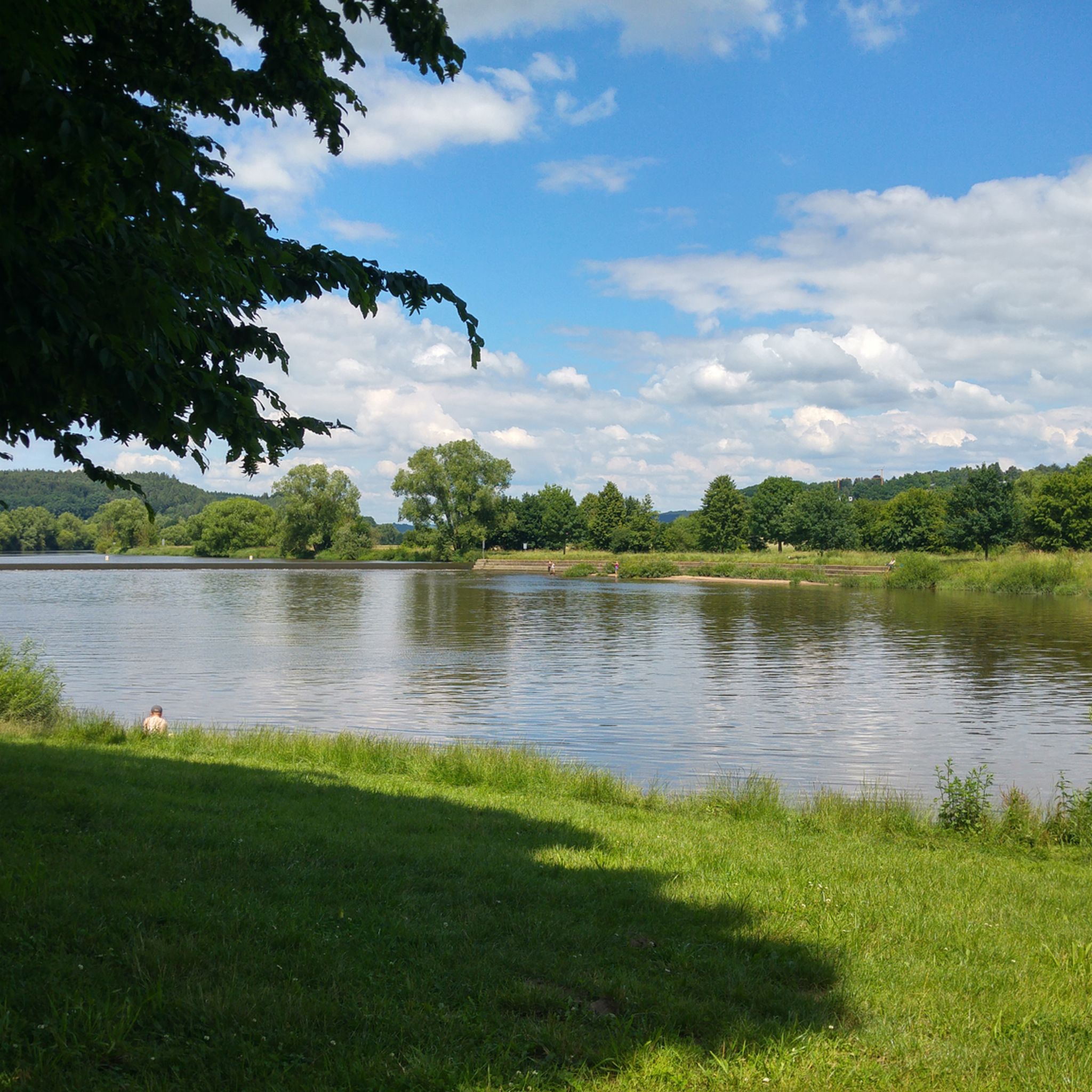
Yes, the region offers refreshing spots for breaks. Nearby, you can find lakes such as Guggenberger Lake and Sarchinger Weiher, which are popular for swimming and relaxation and can complement a cycling excursion.
Are there any difficult road cycling routes for experienced riders?
Yes, for more ambitious road cyclists, the region offers challenging routes through the surrounding gentle hills and green meadows. For example, the Walhalla Memorial – View of the Walhalla loop from Donaustauf is a difficult route covering over 67 km with significant elevation gain, providing a good test for experienced riders.
Are the road cycling routes around Donaustauf primarily paved?
Many of the road cycling routes, especially those along the Danube Cycle Path and designated road cycling tours, feature paved surfaces. This makes them suitable for road bikes, offering smooth riding conditions for most of the journey.
Are there circular road cycling routes available in Donaustauf?
Yes, many of the road cycling routes around Donaustauf are designed as loops, allowing you to start and end your ride in the same location. This includes popular options like the View of the Walhalla – Charbonnières-les-Bains Bridge loop from Donaustauf.
Most popular routes around Donaustauf
Most popular attractions around Donaustauf

Get inspired with the komoot mobile app


Explore more
Browse the best Road cycling routes in other regions.
