The best cycling routes in Ring Mountain Open Space Preserve
4.5
(432)
6,930
riders
153
rides
Touring cycling in Ring Mountain Open Space Preserve offers routes across diverse landscapes, characterized by oak woodlands, grasslands, and fire roads. The preserve features unique geological formations, including serpentine soils, and provides panoramic views of the entire Bay Area. Fire roads are suitable for cycling, allowing access to varied terrain and scenic vistas. The area's elevation changes provide options for different fitness levels.
Best touring cycling routes in Ring Mountain Open Space Preserve
- The most popular touring cycling route is…
Last updated: July 4, 2026
14
riders
Easy bike ride. Great for any fitness level. Mostly paved surfaces. Suitable for all skill levels.
7
riders
13.8km
00:50
100m
100m
Easy bike ride. Great for any fitness level. Mostly paved surfaces. Suitable for all skill levels.

Sign up for free
5.0
(3)
97
riders
47.2km
03:52
1,320m
1,320m
Hard bike ride. Very good fitness required. Mostly paved surfaces. Suitable for all skill levels.
116
riders
31.4km
03:00
750m
750m
Hard bike ride. Very good fitness required. Mostly paved surfaces. Suitable for all skill levels.
67
riders
42.5km
03:51
950m
950m
Hard bike ride. Very good fitness required. Mostly paved surfaces. Suitable for all skill levels.
Get access to more routes and recommendations from other explorers.
Sign up for free
Already have an account?
Our route recommendations are based on thousands of hikes, rides, and runs completed by other people on komoot.
Start today with a free account
Your next adventure awaits.
Login or Signup
Tips from the Community

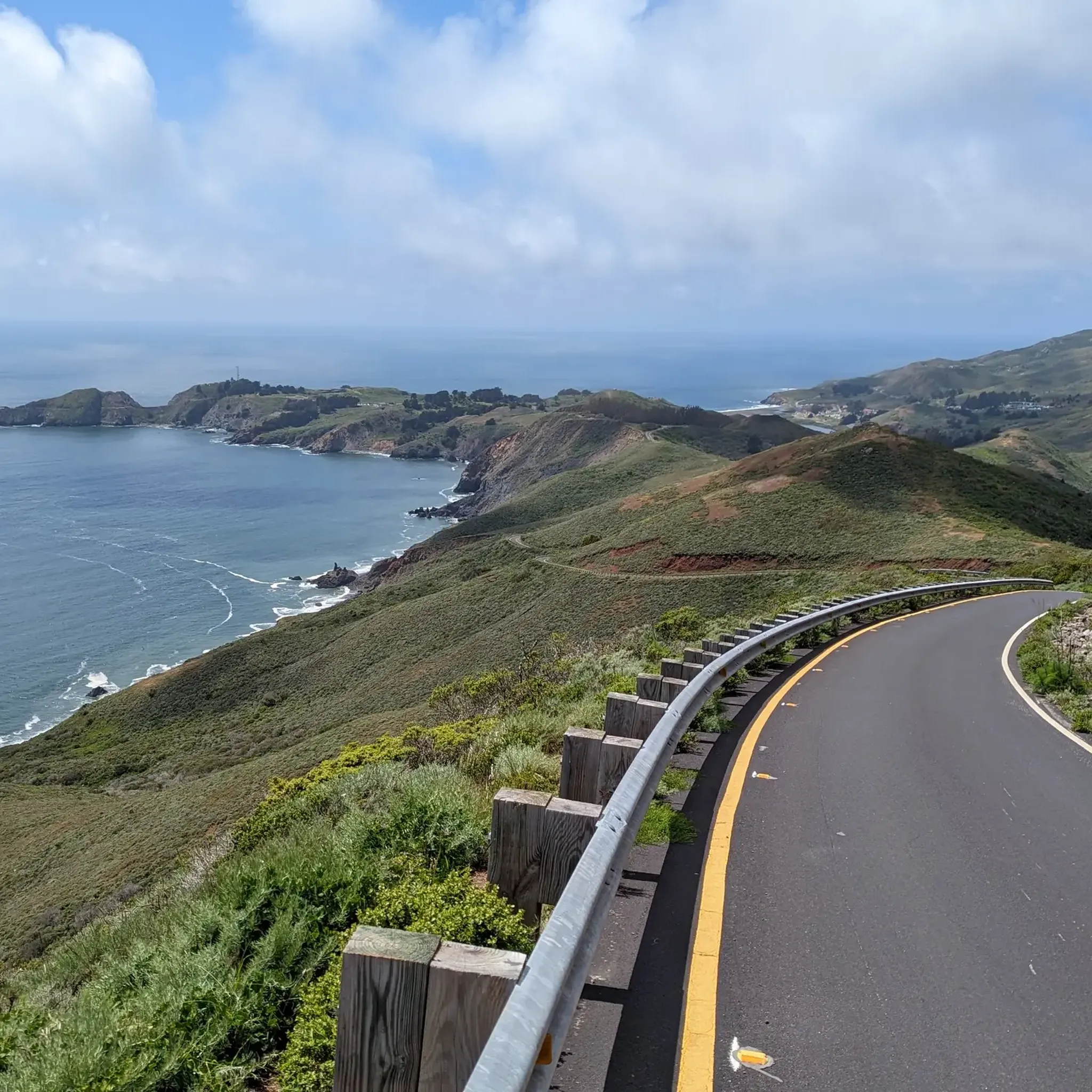
The eponymous name of this hill mostly refers to the climb to this point from the beach about 1300 feet (400 meters) up. Deer Park Fire Road is actually reasonably gradual, following the ridgeline. Still, it is a good place for a rest, take in the views to the Pacific, and refill the water bottles at the water fountain, and read info panels about the recent history.
0
0

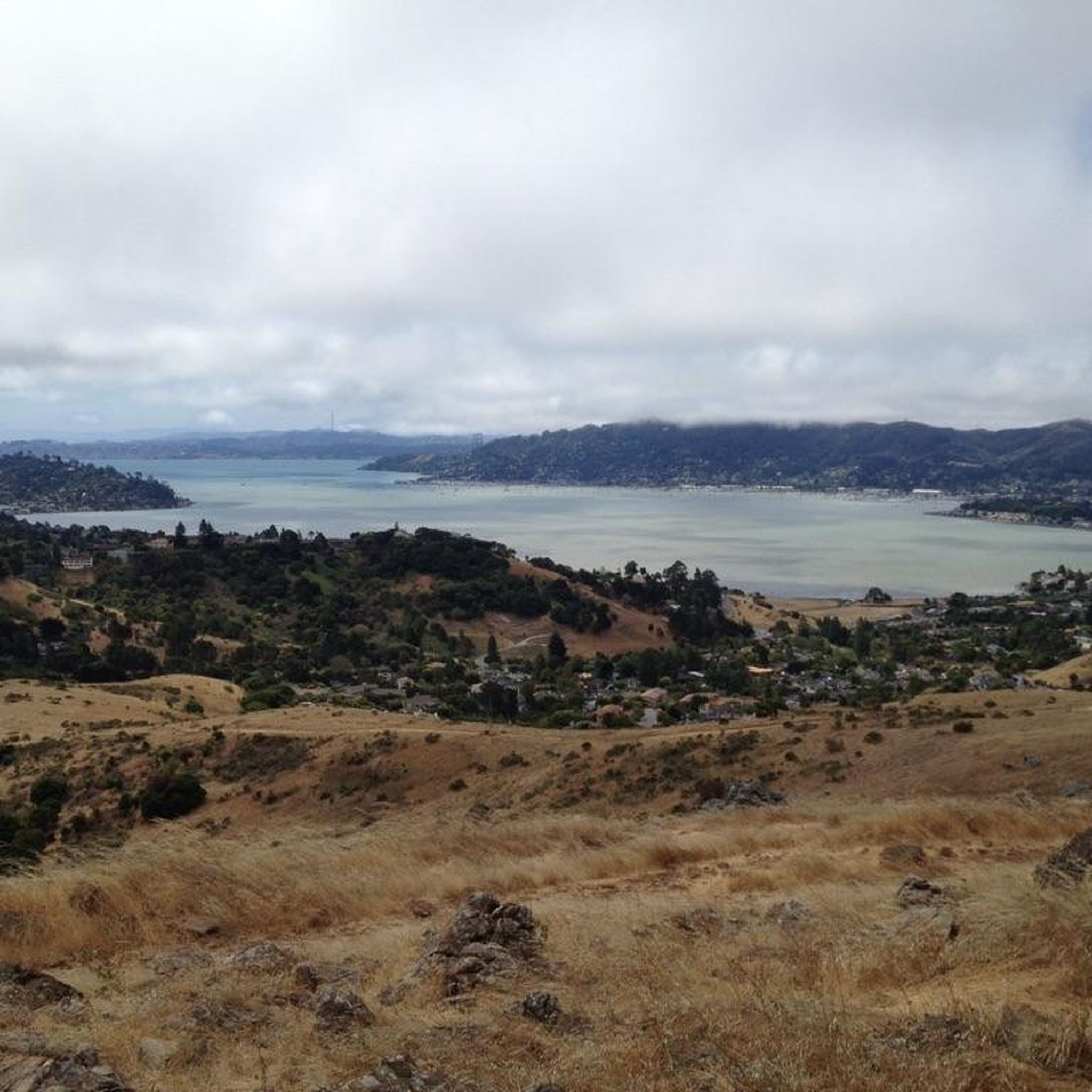
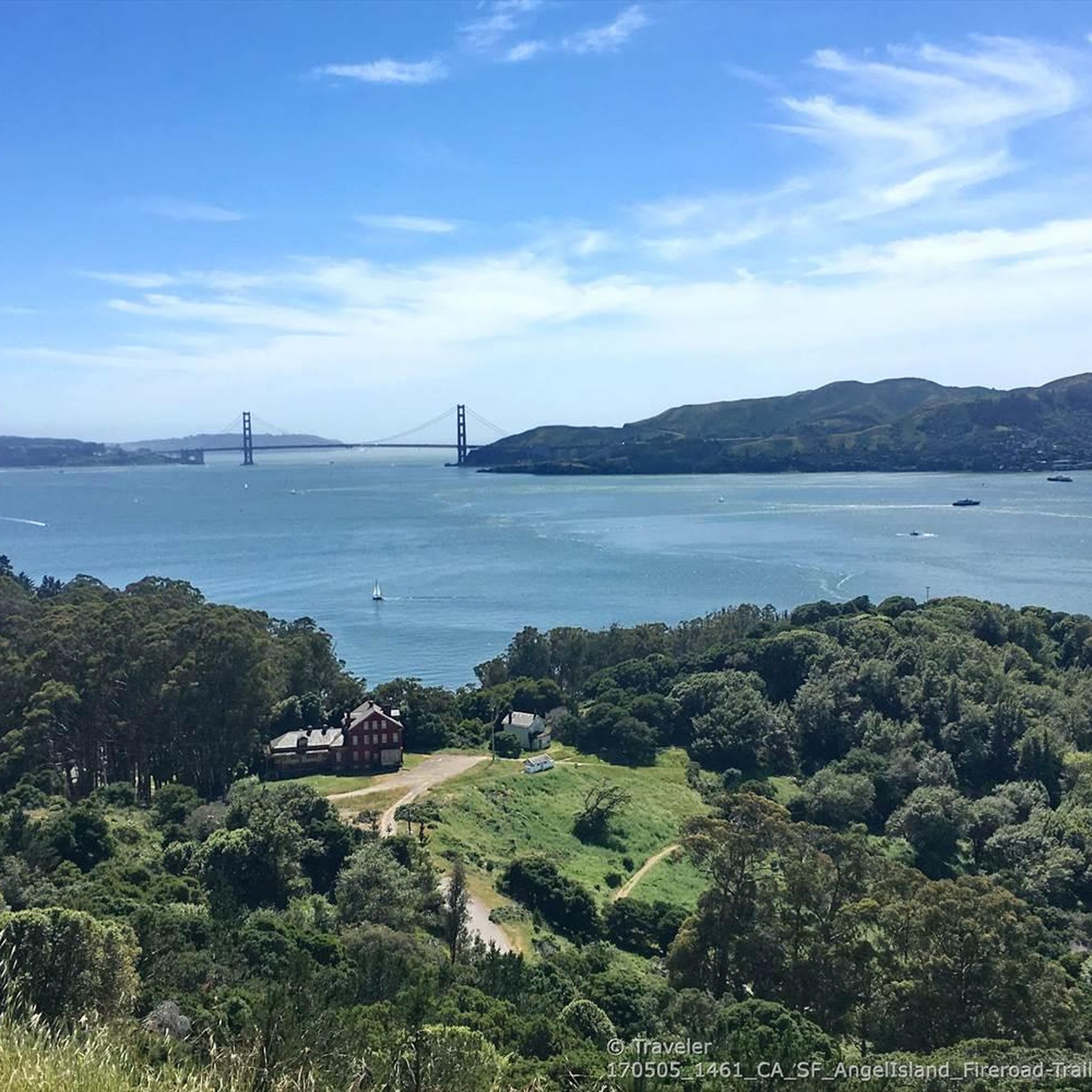
Tiburon Harbor is a picturesque waterfront location with sweeping views of San Francisco Bay and Angel Island. Once a bustling railroad and ferry hub, it's now a charming spot for visitors with its marina, restaurants, historic Main Street, and scenic walking paths. The harbor is a popular gateway to outdoor adventures, from sailing and kayaking to catching the ferry for a day of hiking on Angel Island.
0
0
Mount Tam East Peak offers some of the most majestic views north of the bay. From this vantage point, you can see all of Marin, along with Point Reyes to the north and Oakland and San Francisco to the south. The stunning panoramic vistas make the journey well worth the effort. There are restrooms and picnic tables, ideal for a snack or lunch while you capture some incredible photos.
0
0

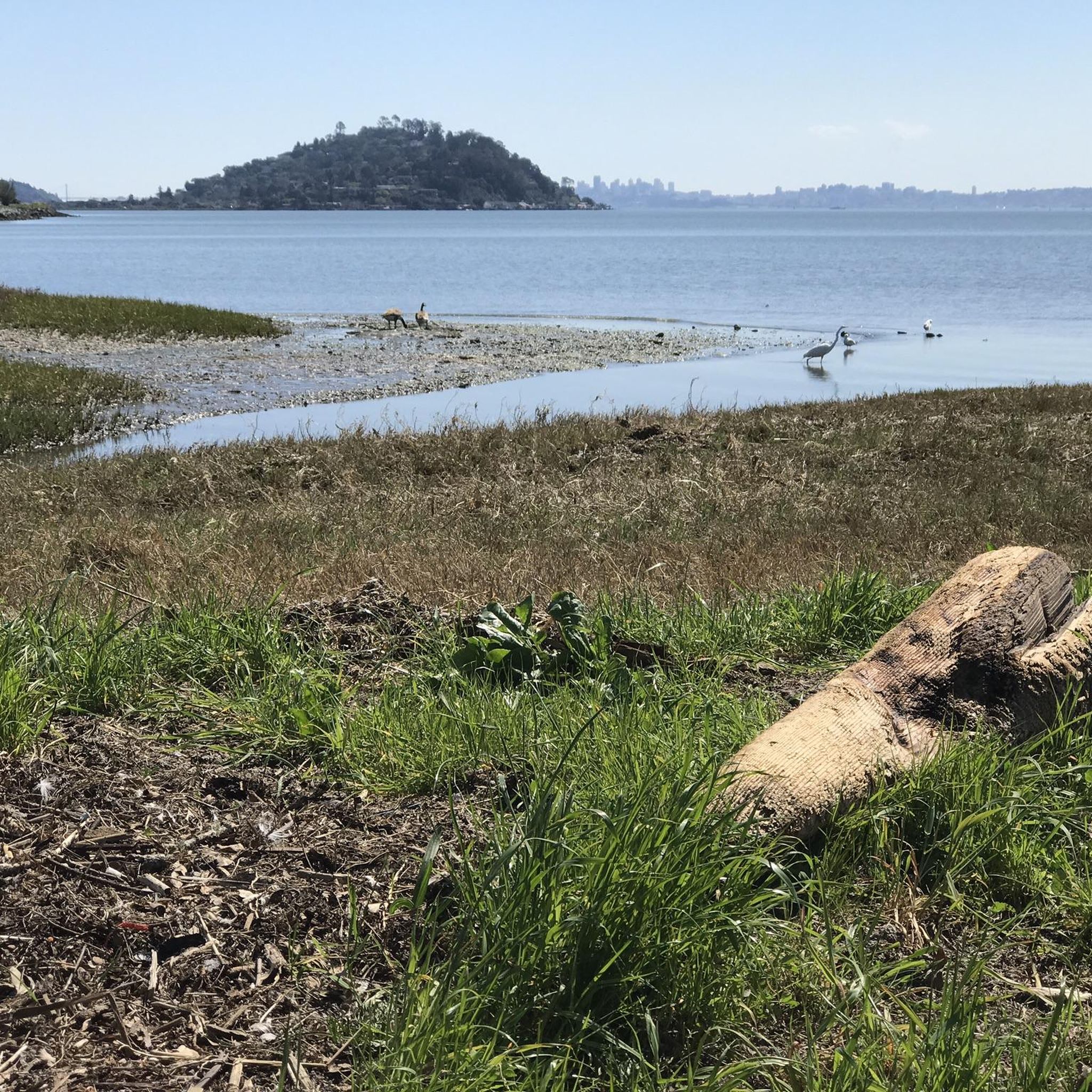
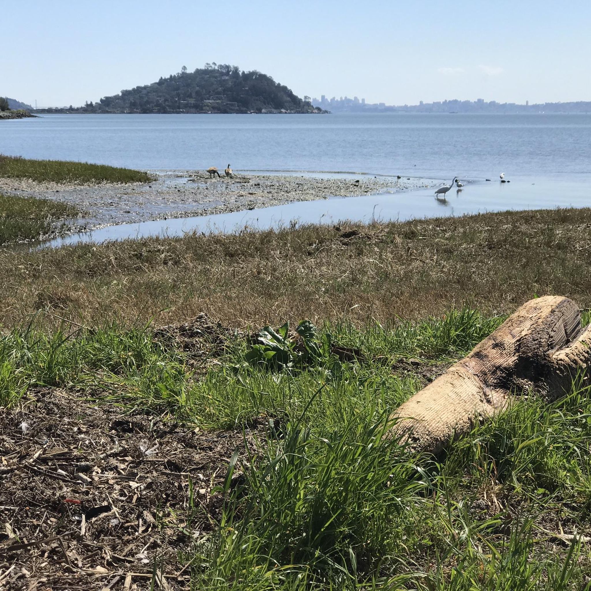
The Old Tiburon Rail Trail is a scenic 2.6-mile path along the San Francisco Bay, with breathtaking water views and Mt. Tamalpais. Starting at Blackie's Pasture, it winds past coastal mudflats full of wildlife before transitioning into an on-street bike lane leading to downtown Tiburon. It's a fantastic, smooth ride with historical markers, parks, and a ferry terminal at the trail's end, making it an ideal place to enjoy nature and local history for a day away from the big city.
0
1

Often busy on weekends, this is a great spot to take moment before/after summiting Mt Tam. There are spigots to fill up water and bathrooms that are open during park hours. The parking lot is very close for those that drive up. There is access to MANY trails for those on foot/bike.
0
0

The Pantoll Campground is a First-come/first-serve site in Mt. Tamalpais State Park. Each site has a barbeque grill, a fire ring, and a picnic table. You need to pay for the site at the Ranger Station as you enter the park.
1
0
The Tiburon Terminal is a ferry landing for the Golden Gate and Angel Island–Tiburon Ferry's providing a connection from Marin County across the San Francisco Bay. From here, you can catch a ferry to Angel Island, San Francisco, or take the China Basin Ferry to see a Giants game. Bikes are welcome on all vessels on a first-come, first-serve basis.
0
0
Frequently Asked Questions
What kind of terrain can I expect on touring cycling routes in Ring Mountain Open Space Preserve?
Touring cycling in Ring Mountain Open Space Preserve primarily utilizes well-maintained fire roads. These are generally unpaved surfaces, and you can expect some loose gravel and varied elevation gains. While some routes are moderate, others offer more challenging climbs. For example, the Paradise Beach County Park – Tiburon Linear Park Bike Trail loop from Paradise Cay features significant elevation changes, while the Sausalito — Mill Valley Path – Bothin Marsh Preserve loop from Alta is an easier, flatter option.
Are there touring cycling routes suitable for beginners or families?
Yes, Ring Mountain Open Space Preserve offers several easy touring cycling routes perfect for beginners or families. These routes typically feature less elevation gain and smoother surfaces. An excellent option is the Sausalito — Mill Valley Path – Bothin Marsh Preserve loop from Alta, which is 8.4 miles long and winds through marshland. Another family-friendly choice is the Blackie's Pasture – Tiburon Harbor loop from Richardson Bay, a 6.8-mile trail along coastal areas.
How many touring cycling routes are available in Ring Mountain Open Space Preserve?
There are over 140 touring cycling routes available in Ring Mountain Open Space Preserve. These routes cater to various skill levels, with approximately 37 easy, 67 moderate, and 45 difficult options, ensuring there's something for everyone.
What natural features or landmarks can I see while cycling in the preserve?
The preserve is renowned for its breathtaking 360-degree panoramic views of the entire Bay Area, including Mount Tamalpais, San Francisco, and the Golden Gate Bridge. You'll also encounter unique geological formations, such as serpentine soils, and can spot features like Turtle Rock. Historically, Petroglyph Rock, with its ancient Coast Miwok carvings, is a significant landmark. While cycling, you'll pass through oak woodlands and wildflower-strewn grasslands, especially vibrant in spring.
When is the best time of year to experience the wildflowers in Ring Mountain Open Space Preserve?
The best time to experience the vibrant wildflowers in Ring Mountain Open Space Preserve is typically in spring, particularly May. During this period, the serpentine soils host extensive displays of buttercups, shooting stars, Marin dwarf flax, and the rare Tiburon mariposa lily, which is found nowhere else on Earth.
Where can I park when visiting Ring Mountain Open Space Preserve for cycling?
Parking is available at various access points around Ring Mountain Open Space Preserve. Specific parking areas are typically located near trailheads, such as the one for the Paradise Beach County Park – Tiburon Linear Park Bike Trail loop from Paradise Cay. Always check local signage for parking regulations and availability.
Is public transport an option to reach the preserve?
Public transport options to Ring Mountain Open Space Preserve are limited but possible. You may need to combine bus services with a short ride or walk to reach specific trailheads. For detailed planning, it's advisable to check local Marin Transit schedules and routes that serve the Tiburon and Corte Madera areas adjacent to the preserve.
What are the rules regarding e-bikes in Ring Mountain Open Space Preserve?
In Ring Mountain Open Space Preserve, bikes, including e-bikes, are generally restricted to designated fire roads. Singletrack trails are typically reserved for hiking. Always adhere to posted signage and local regulations regarding e-bike use to ensure compliance and preserve the natural environment.
Are dogs allowed on the touring cycling routes?
Dogs are generally allowed in Ring Mountain Open Space Preserve, but specific rules apply. They must be kept on a leash at all times, and owners are responsible for waste removal. Always check current regulations on site or through official Marin County Parks resources, as rules can vary by specific area within the preserve.
What do other touring cyclists enjoy most about cycling in Ring Mountain Open Space Preserve?
The area is highly rated by the komoot community, with an average score of 4.6 stars from over 400 reviews. Reviewers often praise the stunning panoramic views of the Bay Area, the diverse landscapes ranging from oak woodlands to grasslands, and the accessibility of the fire roads for touring bikes. The variety of routes, from easy coastal paths to more challenging climbs, is also frequently highlighted.
Are there any loop routes for touring cyclists?
Yes, many touring cycling routes in Ring Mountain Open Space Preserve are designed as loops, offering a convenient way to explore without retracing your steps. Examples include the Paradise Beach County Park – Tiburon Linear Park Bike Trail loop from Paradise Cay and the Tiburon Ferry Terminal – Blackie's Pasture loop from Richardson Bay. These loops allow you to experience different sections of the preserve's scenic beauty.
Are there cafes or accommodation near Ring Mountain Open Space Preserve?
Yes, you'll find various cafes, restaurants, and accommodation options in the nearby towns of Tiburon and Corte Madera. These towns are just a short distance from the preserve and offer amenities for visitors looking to refuel or stay overnight. For more information on local businesses, you can visit the Visit Marin website.
Most popular routes in Ring Mountain Open Space Preserve

Get inspired with the komoot mobile app


Explore more
Browse the best Cycling routes in other regions.
