The best running trails in Alto Bowl Open Space Preserve
4.6
(12)
2,066
runners
144
runs
Jogging in Alto Bowl Open Space Preserve offers a variety of running routes through diverse landscapes. The region features a mix of parkland, creek-side paths, and trails with potential bay views, providing varied terrain for runners. Elevation changes are present, particularly on routes extending towards areas like Mount Tamalpais. The preserve's trails are well-suited for exploring the natural environment.
Best jogging routes in Alto Bowl Open Space Preserve
- The most popular jogging route is Mount Tamalpais State Park – Redwood…
Last updated: July 22, 2026
20
runners
12.6km
01:33
340m
340m
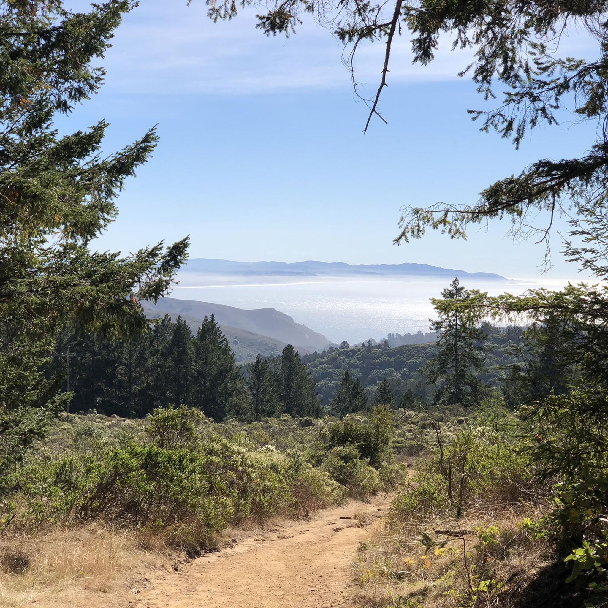
The Mountain Home Inn – Mount Tamalpais State Park loop offers a challenging yet incredibly scenic jogging experience, immersing you in the diverse landscapes of Marin County. As you tackle…
10
runners
Moderate run. Good fitness required. Mostly paved surfaces. Suitable for all skill levels.

Sign up for free
14
runners
13.6km
01:25
40m
50m
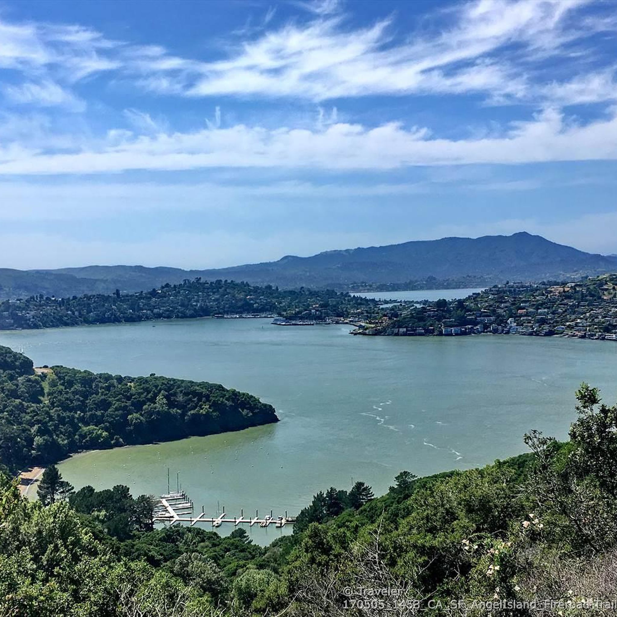
If you're after a wonderfully accessible and scenic outing, the Corte Madera Creek – Corte Madera Pathway loop is a top pick for a relaxed jog. This moderate 8.5-mile (13.6…
7
runners
6.33km
00:40
40m
40m
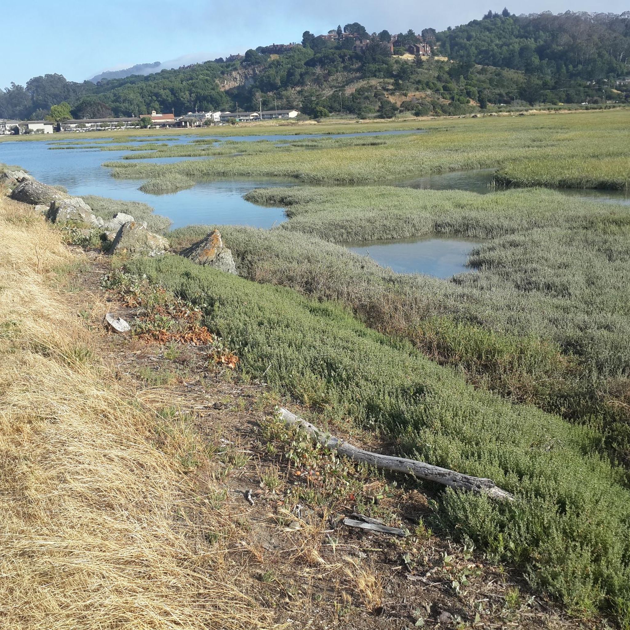
The Bayfront Park — Mill Valley loop offers a delightful escape into nature, winding through scenic marshlands and along the waterfront. You'll jog primarily on flat asphalt, crossing charming wooden…
6
runners
4.10km
00:26
20m
20m
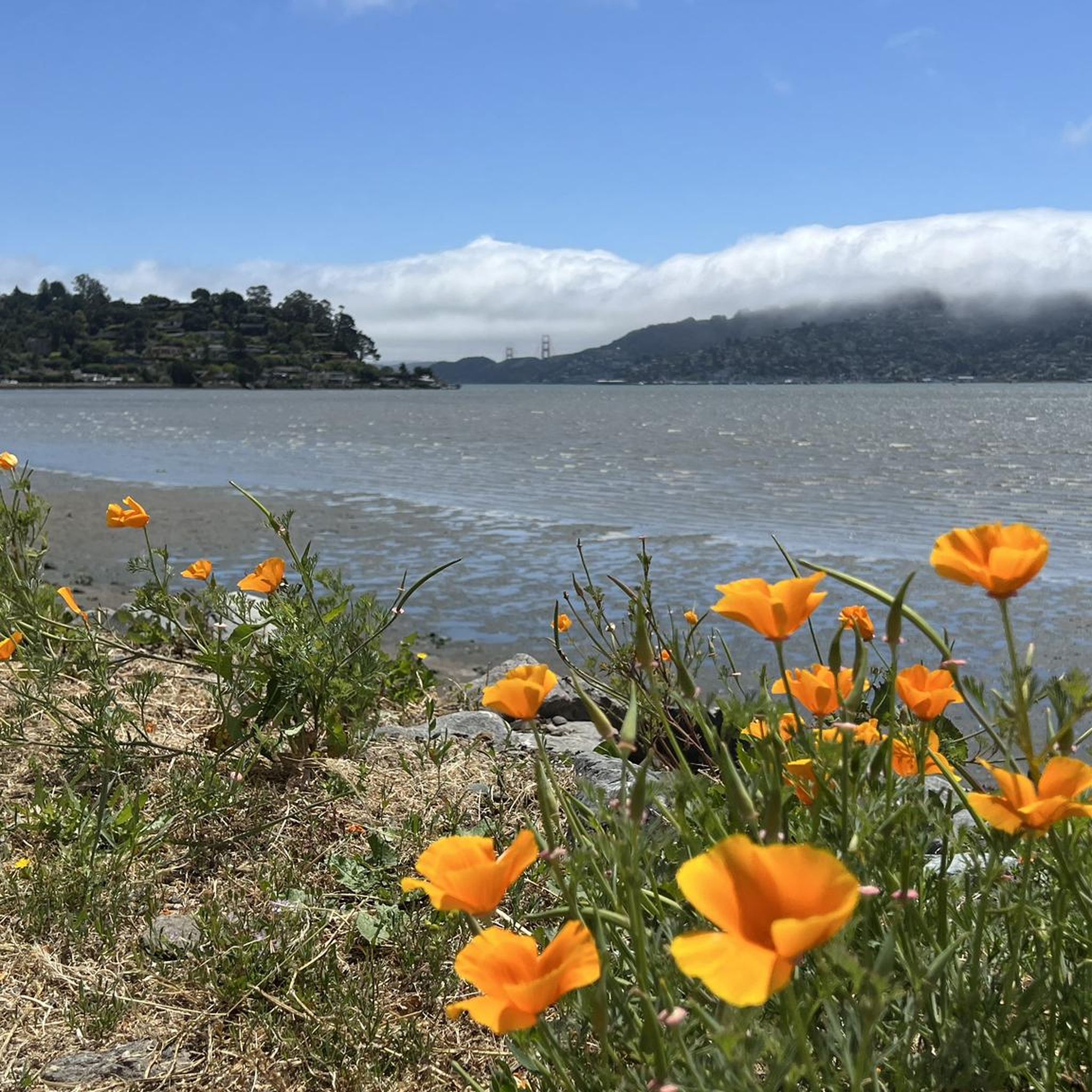
The Corte Madera–Larkspur Pathway loop offers a delightful escape into nature, perfect for a refreshing jog. This easy 2.5-mile (4.1 km) route, with a minimal 75 feet (23 metres) of…
Get access to more routes and recommendations from other explorers.
Sign up for free
Already have an account?
Our route recommendations are based on thousands of hikes, rides, and runs completed by other people on komoot.
Start today with a free account
Your next adventure awaits.
Login or Signup

Tips from the Community


Huggin Corte Madera Creek this 3.5-mile, multi-use path is a great option for those looking for a mellow route. It passes through Hal Brown-Creekside Park, which is a good spot for a break.
0
0

Now open for more than a hundred years, this inn welcomes visitors high on the flanks of Mount Tamalpais. The guestrooms mostly face east, but the grounds include great vantages to the west over the Bay. There's also a restaurant, and this has been voted one of the most romantic spots in the Bay Area several times over.
0
0

This paved bike trail runs through the College of Marin Campus along the Corte Madera Creek. This is a great trail for students and commuters, as well as cyclists looking for a traffic-free shortcut through the area.
0
0

This is a great protected bike path that follows the creek.
0
0

This historic hotel with a long history, was built in 1912 by a Swiss-German immigrant couple who were homesick for their native Alps. It is perched on the ridge between the Mount Tamalpais peaks, high above Mill Valley, and boasts excellent views of Marin. It is a favorite spot to stay as a mountain getaway for outdoor enthusiasts in the Bay area, so much so that even celebrities like Goldie Hawn, the Grateful Dead and Jack London have stayed here.
0
0
Mount Tamalpais State Park is a majestic area in the heart of Marin County, with sweeping hillsides covered in fantastic redwood forest, open grasslands, sturdy chaparral, and wooded oaklands. The views from Mount Tampais boast breathtaking vistas of the Pacific Ocean, San Francisco Bay and City, the Marin County Hills, Mount Diablo, and the East Bay. You can even see the Farallon Islands, 25 miles out to sea. If you're lucky, you can catch an occasional glimpse of the snow-capped Sierra Nevada Mountain Range, nearly 150 miles away. The Park is a haven for cyclists, hikers, wildlife watchers, or those who wish to find a beautiful spot for an afternoon picnic.
0
0

Beautiful and easy path that gets you away from cars! Runs for a good distance from the ferry terminal all the way to Ross/San Anselmo.
0
0
Frequently Asked Questions
How many running routes are available in Alto Bowl Open Space Preserve?
Komoot offers a wide selection of running routes in Alto Bowl Open Space Preserve, with over 170 tours to choose from. This includes a mix of easy, moderate, and challenging options to suit various fitness levels.
Are there easy jogging trails for beginners in Alto Bowl Open Space Preserve?
Yes, Alto Bowl Open Space Preserve features several easy jogging trails suitable for beginners. You can find 11 routes specifically rated as easy, offering gentle terrain for a comfortable run. A good option for a relatively flat, steady run is the Running loop from Larkspur.
What are some challenging running routes in Alto Bowl Open Space Preserve?
For experienced runners seeking a challenge, Alto Bowl Open Space Preserve offers 88 difficult routes. These often include significant elevation changes and varied terrain. Consider the Mount Tamalpais State Park – Redwood Creek Trail loop from Mill Valley, which is a demanding 12.5 km trail with substantial elevation gain.
Are there any circular running routes in Alto Bowl Open Space Preserve?
Many of the running paths in Alto Bowl Open Space Preserve are designed as loops, providing convenient circular routes. For example, the Corte Madera - Larkspur Path – Corte Madera–Larkspur Pathway loop from Strawberry offers a 12 km circular path through urban and natural settings.
What kind of terrain can I expect on the running trails?
The terrain in Alto Bowl Open Space Preserve is quite varied. You'll encounter creek-side paths, open park trails, and some challenging hills, especially on routes extending towards areas like Mount Tamalpais. The preserve offers a mix of paved and unpaved surfaces, providing diverse running experiences.
What do other runners enjoy most about jogging in Alto Bowl Open Space Preserve?
The running routes in Alto Bowl Open Space Preserve are highly rated by the komoot community, with an average score of 4.2 stars from over 13 reviews. Runners frequently praise the diverse landscapes, from parkland to creek-side paths, and the options for both easy and challenging runs.
Are dogs allowed on the jogging routes in Alto Bowl Open Space Preserve?
Alto Bowl Open Space Preserve is generally dog-friendly, but specific rules regarding leashes and waste disposal apply. It's always best to check local signage or the official park website for the most current regulations before heading out with your dog.
Are there any scenic viewpoints or attractions along the running paths?
While specific highlight data isn't provided, the preserve's trails are known for potential bay views and diverse natural environments. Runners often enjoy the scenic beauty of the parkland and creek areas. The Bayfront Park — Mill Valley loop from Mill Valley offers views near the bay.
What is the best time of year to jog in Alto Bowl Open Space Preserve?
The Alto Bowl Open Space Preserve is enjoyable year-round, but spring and fall offer particularly pleasant conditions with milder temperatures and vibrant natural scenery. Summer mornings are also ideal to avoid the heat, while winter runs can be refreshing, though some trails might be muddy after rain.
Where can I find parking for the jogging trails?
Parking availability varies depending on the specific trailhead you choose. Many routes, such as those starting from Mill Valley or Larkspur, have designated parking areas nearby. It's advisable to check the route details on komoot for specific parking information related to your chosen running path.
Are there any routes that follow the Corte Madera Creek?
Yes, there are routes that incorporate the Corte Madera Creek area. For instance, the Corte Madera Creek – Corte Madera Pathway loop from Corte Madera is a longer, more challenging route that follows the pathway along the creek.
Most popular routes in Alto Bowl Open Space Preserve

Get inspired with the komoot mobile app


Explore more
Browse the best Running Trails & Routes in other regions.
