The best cycling routes in Blithedale Summit Open Space Preserve
4.5
(430)
6,955
riders
181
rides
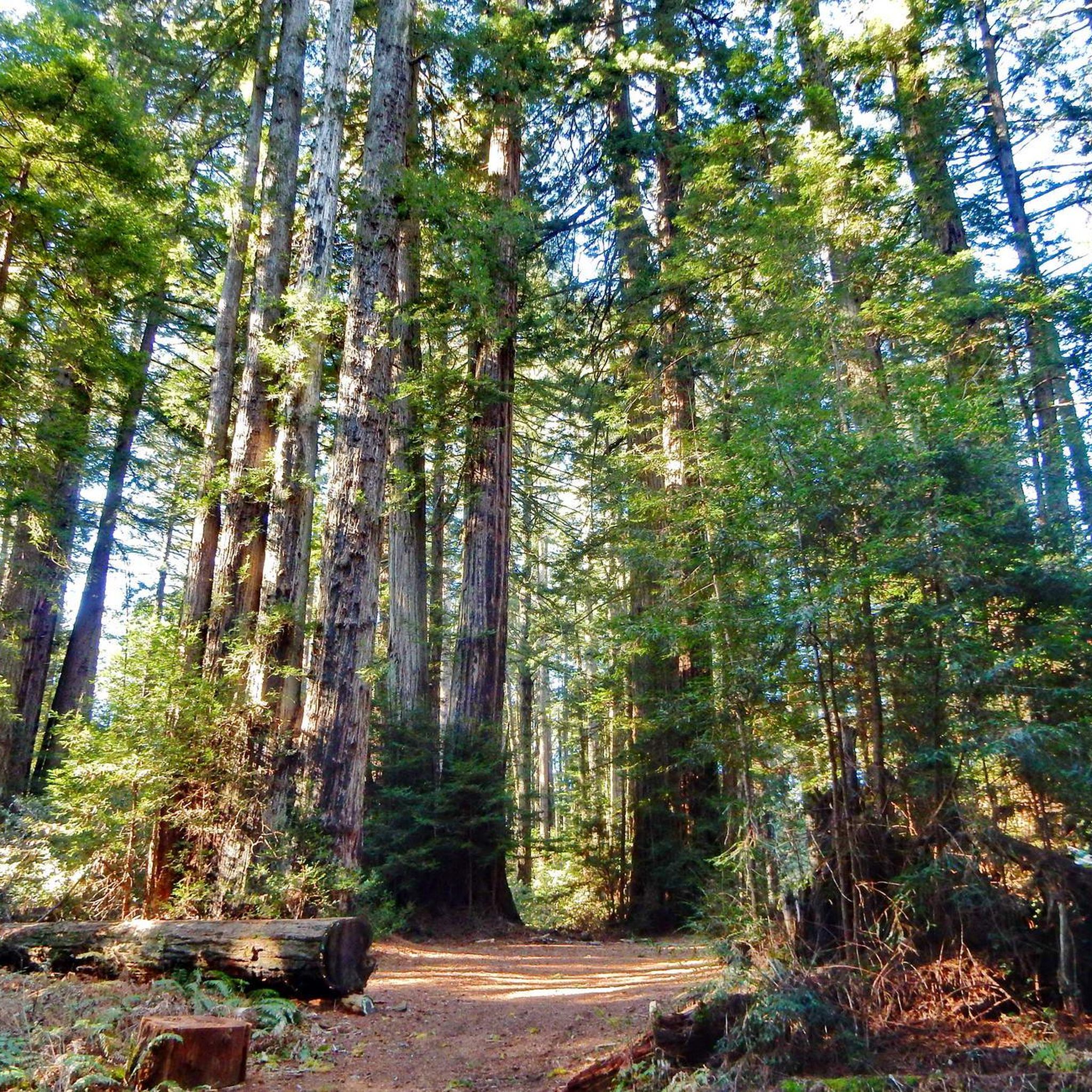
Touring cycling routes in Blithedale Summit Open Space Preserve traverse 639 acres along Mount Tamalpais's northern ridge, featuring diverse landscapes from deep forests to dense chaparral. The preserve offers a network of fire roads and trails that transition through redwood and Douglas-fir forests, open grasslands, and areas rich with California bay and oak. Higher elevations provide views of the Marin Headlands and San Francisco Bay.
Best touring cycling routes in Blithedale Summit Open Space Preserve
- The most popular touring cycling route is Phoenix Lake to Bon Tempe Lake loop, a 20.7 miles (33.3 km) trail that takes 2 hours 37 minutes to complete. This moderate route circles two scenic lakes within the preserve.
- Another top favourite among local touring cyclists is San Francisco Bay Trail: Tiburon Loop, a moderate 26.2 miles (42.1 km) path. This route offers views of the San Francisco Bay and surrounding areas.
- Local touring cyclists also love the Mount Tamalpais East Peak – Pantoll Road 🌲 loop from Mill Valley, a 20.2 miles (32.5 km) trail leading through varied terrain with significant elevation gain, often completed in about 3 hours 6 minutes.
- Touring cycling in Blithedale Summit Open Space Preserve is defined by deep forests, open grasslands, and panoramic views of the Bay. The network offers options for different ability levels, from easy fire roads to more challenging climbs.
- The routes in Blithedale Summit Open Space Preserve are highly rated by the komoot community with an average score of 4.6 stars from over 350 reviews. More than 7000 touring cyclists have used komoot to explore Blithedale Summit Open Space Preserve's varied terrain.
Last updated: July 4, 2026
5.0
(2)
61
riders
33.3km
02:37
430m
430m
Cycle a moderate 20.7-mile loop around Phoenix and Bon Tempe Lakes, enjoying diverse terrain, scenic views, and wildlife spotting.
7
riders
14.5km
00:56
120m
120m
Easy bike ride. Great for any fitness level. Mostly paved surfaces. Suitable for all skill levels.

Sign up for free
5.0
(1)
5
riders
17.6km
01:13
240m
240m
Moderate bike ride. Good fitness required. Mostly paved surfaces. Suitable for all skill levels.
4.9
(22)
287
riders
42.1km
02:35
380m
390m
The San Francisco Bay Trail: Tiburon Loop offers a quintessential Bay Area cycling adventure, blending stunning coastal vistas with charming townscapes. As you ride, you'll be treated to expansive views of Angel Island and the picturesque Tiburon Harbor, especially from the dedicated vista points. The route includes pleasant stretches on paths like the Tiburon Linear Park Bike Trail, providing a smooth and enjoyable journey through varied scenery.
This moderate touring bicycle route covers 26.2 miles (42.1 km) with 1260 feet (384 metres) of elevation gain, typically taking around 2 hours and 35 minutes to complete. For parking, it's advisable to arrive early, particularly on weekends, or consider public transport options to the Tiburon area. Spring and fall generally offer the most pleasant weather for cycling, with clear skies enhancing the scenic beauty.
The Tiburon Loop is a popular choice for cyclists seeking a rewarding ride without extreme technical challenges, making it accessible for many recreational riders. Its circular route provides a continuous flow, allowing you to immerse yourself in the natural beauty and vibrant atmosphere of Marin County. This trail is a fantastic way to experience the iconic San Francisco Bay Trail system.
5.0
(1)
85
riders
31.7km
03:02
880m
880m
The West Point Inn – Pantoll Road loop from Mill Valley offers a rigorous touring cycling experience, perfect for those who thrive on challenging ascents and long rides. This difficult route, spanning 19.7 miles (31.7 km), winds through the scenic terrain of the Mount Tamalpais area, connecting key points like the West Point Inn and Pantoll Road. Expect a substantial workout with 2874 feet (876 metres) of elevation gain, making it a prime choice for seasoned cyclists. The journey promises a deep immersion in the natural beauty of the region, even without specific trail details available.
Planning for this demanding ride means prioritizing preparation. Always check the weather forecast for the Mill Valley area, especially for conditions like heat or wind, and ensure you carry plenty of water and snacks. While specific trailhead parking information isn't available, an early morning start is advisable to make the most of cooler temperatures and potentially less crowded roads. A well-maintained touring bicycle is essential for tackling the significant climbs and descents on this route.
This loop is one of the more popular cycling routes around Mount Tamalpais, attracting riders who appreciate a substantial physical challenge amidst beautiful surroundings. It's an excellent option if you're looking to push your limits and enjoy a long day out on the bike. The route's difficulty and length make it a notable feature among the cycling trails in the Mill Valley area, offering a rewarding sense of accomplishment upon completion.
Get access to more routes and recommendations from other explorers.
Sign up for free
Already have an account?
Our route recommendations are based on thousands of hikes, rides, and runs completed by other people on komoot.
Start today with a free account
Your next adventure awaits.
Login or Signup
Popular around Blithedale Summit Open Space Preserve
Tips from the Community

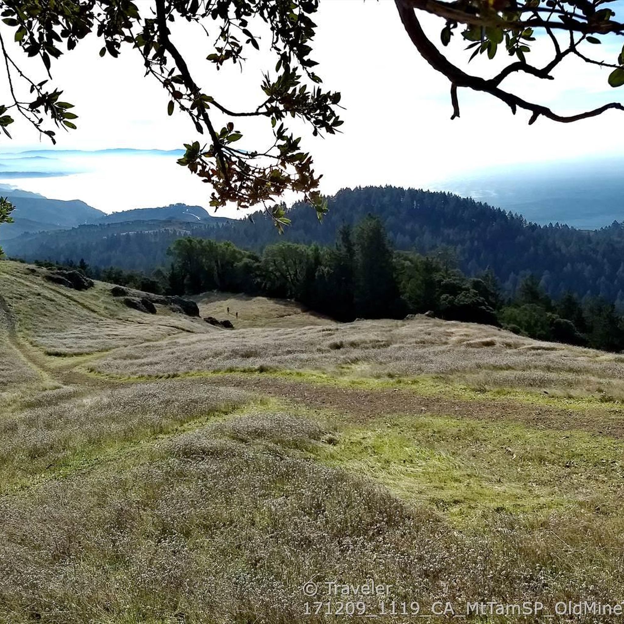
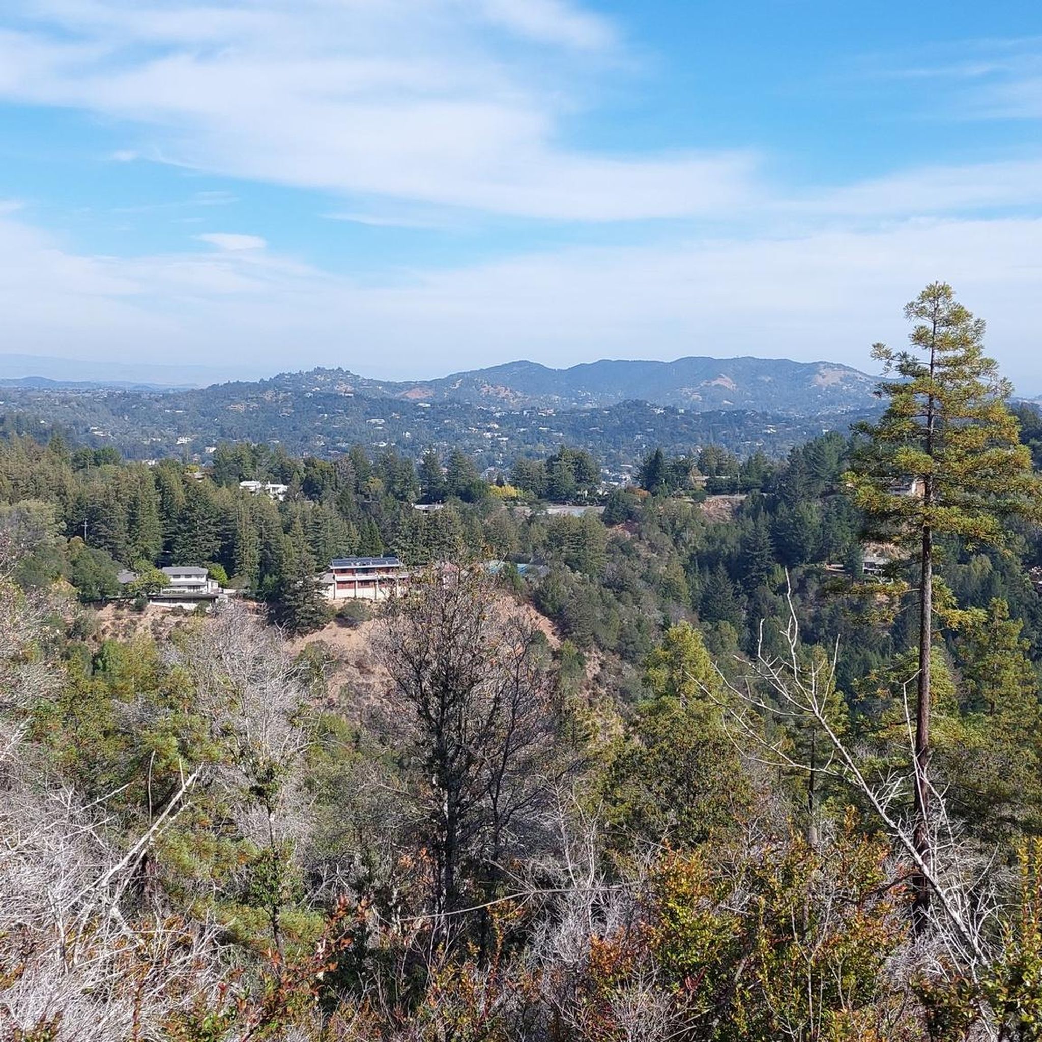
Climbing up Mount Tamalpais, you'll find many great spots for admiring the scenery, but this one particularly struck me because, almost immersed in nature, you can see the city skyline in the distance. I found it so moving that I stopped my bike and stood there contemplating the landscape for a few minutes. The climb is a bit steep, but it's definitely worth it!
0
0

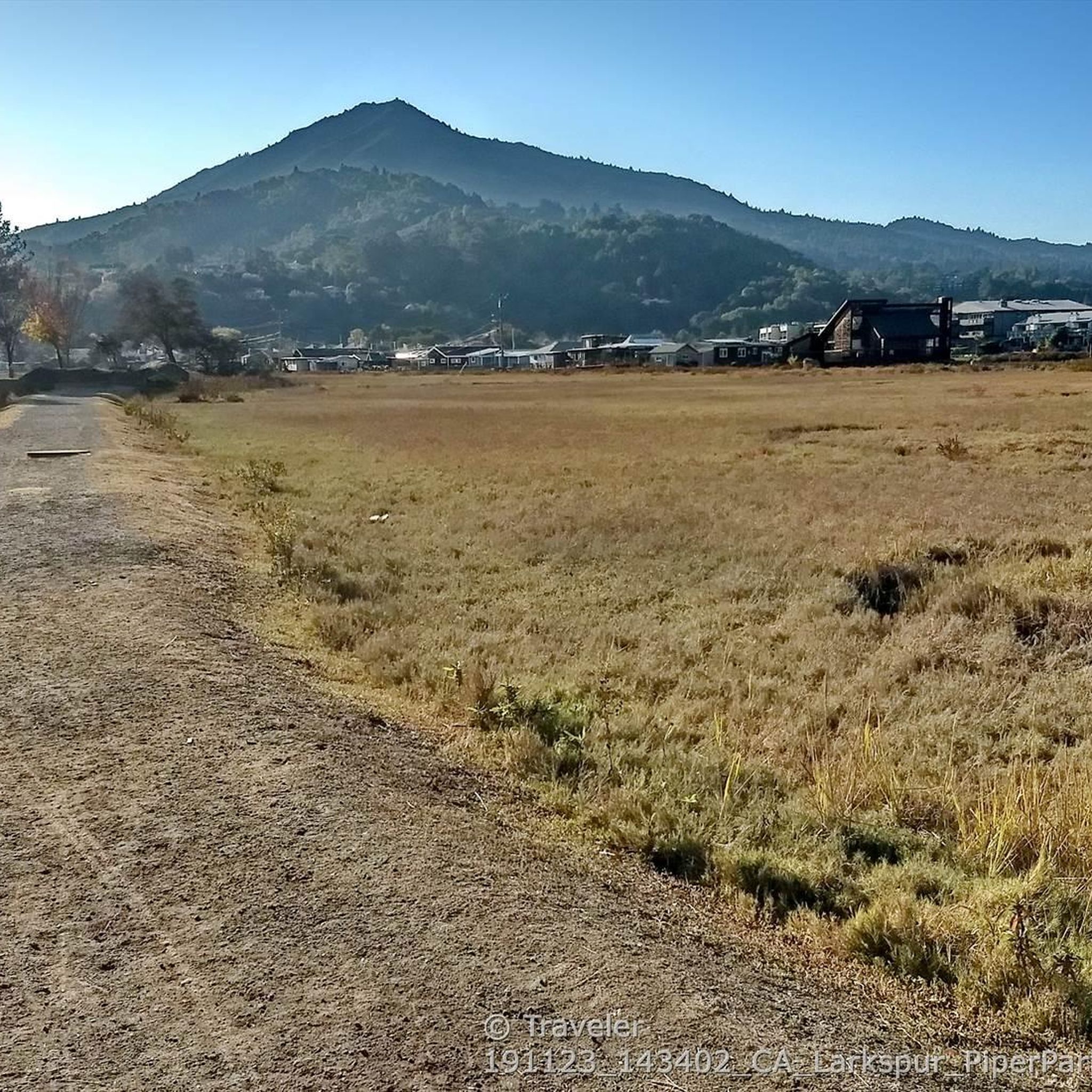
Corte Madera Larkspur Path crosses bike trails along canals, car free
0
0


The Old Tiburon Rail Trail is a scenic 2.6-mile path along the San Francisco Bay, with breathtaking water views and Mt. Tamalpais. Starting at Blackie's Pasture, it winds past coastal mudflats full of wildlife before transitioning into an on-street bike lane leading to downtown Tiburon. It's a fantastic, smooth ride with historical markers, parks, and a ferry terminal at the trail's end, making it an ideal place to enjoy nature and local history for a day away from the big city.
0
1

The Pantoll Campground is a First-come/first-serve site in Mt. Tamalpais State Park. Each site has a barbeque grill, a fire ring, and a picnic table. You need to pay for the site at the Ranger Station as you enter the park.
1
0

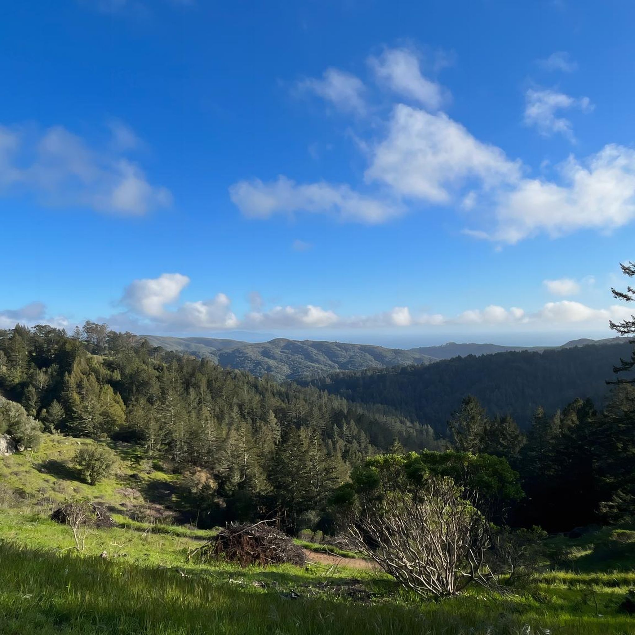
West of Lake Lagunitas, Bon Tempe Lake is a reservoir managed by Marin Municipal Water District. It features striking scenery, with lush trees, clear water, and a peaceful atmosphere.
0
0
Frequently Asked Questions
How many touring cycling routes are available in Blithedale Summit Open Space Preserve?
There are over 170 touring cycling routes in Blithedale Summit Open Space Preserve, offering a wide range of options for different skill levels and preferences.
What kind of terrain can I expect on touring cycling routes in Blithedale Summit Open Space Preserve?
The preserve features an extensive network of wide fire roads, which are generally stable and well-suited for touring cyclists. You'll encounter diverse landscapes, including shaded redwood and Douglas-fir forests, open grasslands, and chaparral-covered hillsides. Some routes, like the Blithedale Ridge Fire Road, offer dynamic 'roller coaster' uphills and downhills.
Are there any family-friendly touring cycling routes in the preserve?
Yes, Blithedale Summit offers routes suitable for families. The preserve's varied difficulty levels include easier fire roads, making it possible to find a comfortable ride for different ages and abilities. While specific 'family-friendly' routes aren't explicitly detailed, the presence of wide, stable fire roads generally lends itself to a more accessible experience.
Can I bring my dog on the touring cycling trails?
The preserve is generally dog-friendly, but specific rules regarding dogs on trails, especially when cycling, can vary. It's always best to check local signage or the official Marin County Parks website for the most current regulations regarding dogs on trails within Blithedale Summit Open Space Preserve.
What are some notable natural features or landmarks to see along the routes?
You can explore diverse habitats including redwood groves and canyons. A notable attraction is Dawn Falls, a seasonal waterfall in the adjacent Baltimore Canyon Open Space, best viewed during the rainy season. Higher elevations offer panoramic views of Marin County, the Marin Headlands, and the San Francisco Bay. Consider exploring the Dawn Falls Trail or the Blithedale Ridge Fire Rd for scenic experiences.
Are there routes with significant elevation gain for a challenging ride?
Yes, the preserve offers routes with significant elevation gain. For example, the Mount Tamalpais East Peak – Pantoll Road loop from Mill Valley is a difficult route with nearly 900 meters of elevation gain, providing a substantial challenge for experienced touring cyclists.
What is the best time of year to go touring cycling in Blithedale Summit?
The preserve is enjoyable year-round, but the best time often depends on your preference. The rainy season (typically winter) brings seasonal waterfalls like Dawn Falls to life and keeps the landscape lush. Spring offers blooming wildflowers and active wildlife. Summers are generally warm and dry, while fall provides pleasant temperatures and clear views. Always check local weather conditions before heading out.
Are e-bikes allowed on the trails in Blithedale Summit Open Space Preserve?
Yes, Blithedale Summit Open Space Preserve supports e-bike riding. However, specific trail permissions for e-bikes may vary, so it's advisable to confirm the regulations for your chosen route or trail section.
Where can I park when visiting Blithedale Summit Open Space Preserve for cycling?
While specific parking locations aren't detailed in the route information, the preserve is accessible from various points. Many routes start from nearby towns like Mill Valley or Corte Madera, where public parking options may be available. It's recommended to research parking near your chosen trailhead before your visit.
What do other touring cyclists enjoy most about the routes here?
The area is highly rated by the komoot community, with an average score of 4.6 stars from over 350 reviews. Reviewers often praise the diverse landscapes, the extensive network of fire roads, and the panoramic views of the Marin Headlands and San Francisco Bay.
Are there any circular touring cycling routes available?
Yes, many routes in Blithedale Summit Open Space Preserve are designed as loops. A popular moderate option is the Phoenix Lake to Bon Tempe Lake loop, which circles two scenic lakes. Another is the Corte Madera Pathway – San Anselmo-Fairfax Bikeway loop from Mill Valley.
How can I access Blithedale Summit Open Space Preserve using public transport?
While direct public transport access to specific trailheads within the preserve might be limited, the preserve connects to the broader Mount Tamalpais trail network and is accessible from surrounding towns in Marin County. You may be able to reach nearby towns via public transport and then cycle to the preserve's entry points.
Most popular routes in Blithedale Summit Open Space Preserve
Most popular attractions in Blithedale Summit Open Space Preserve

Get inspired with the komoot mobile app


Explore more
Browse the best Cycling routes in other regions.
