The best walks and hikes in Loma Alta Open Space Preserve
4.8
(105)
1,558
hikers
144
hikes
Hiking in Loma Alta Open Space Preserve offers diverse landscapes and panoramic views from one of Marin County's highest peaks. The preserve features open grasslands, dense California bay woods, and woodlands with white and coast live oaks. Canyons and creekbeds add topographical interest, providing varied terrain for hikers. Loma Alta also plays a role in dividing four major watersheds: Miller, Corte Madera, Lagunitas, and Nicasio Creeks.
Best hiking trails in Loma Alta Open Space Preserve
- The most popular hiking route…
Last updated: August 31, 2026
6
hikers
11.2km
03:36
480m
480m
Explore the Loma Alta Open Space Preserve on the Loma Alta Peak Trail, a moderate 6.9-mile (11.2 km) hike that delivers stunning 360-degree views from one of Marin County's highest…
4
hikers
23.1km
07:04
770m
830m
The Oak Manor, Smith Ridge, Sunrise and Old Railroad Grade Loop is a challenging 14.4-mile (23.1 km) hike that winds through a remarkable variety of landscapes in Marin County. Expect…

Sign up for free
15
hikers
7.89km
02:25
270m
270m
The Old Railroad Grade, Glen Fire, Smith Ridge & Sunrise loop offers a dynamic hiking experience, combining historical paths with challenging climbs and panoramic vistas. This moderate 4.9-mile (7.9 km)…
18.3km
05:46
700m
700m
The San Geronimo Ridge Road via B-17 Trail loop offers a truly diverse hiking experience, winding through lush conifer forests, rocky sections, and open meadows. You'll encounter serene redwood trees…
7
hikers
9.64km
02:54
320m
320m
Moderate hike. Good fitness required. Easily-accessible paths. Suitable for all skill levels.
Get access to more routes and recommendations from other explorers.
Sign up for free
Already have an account?
Our route recommendations are based on thousands of hikes, rides, and runs completed by other people on komoot.
Start today with a free account
Your next adventure awaits.
Login or Signup
Tips from the Community

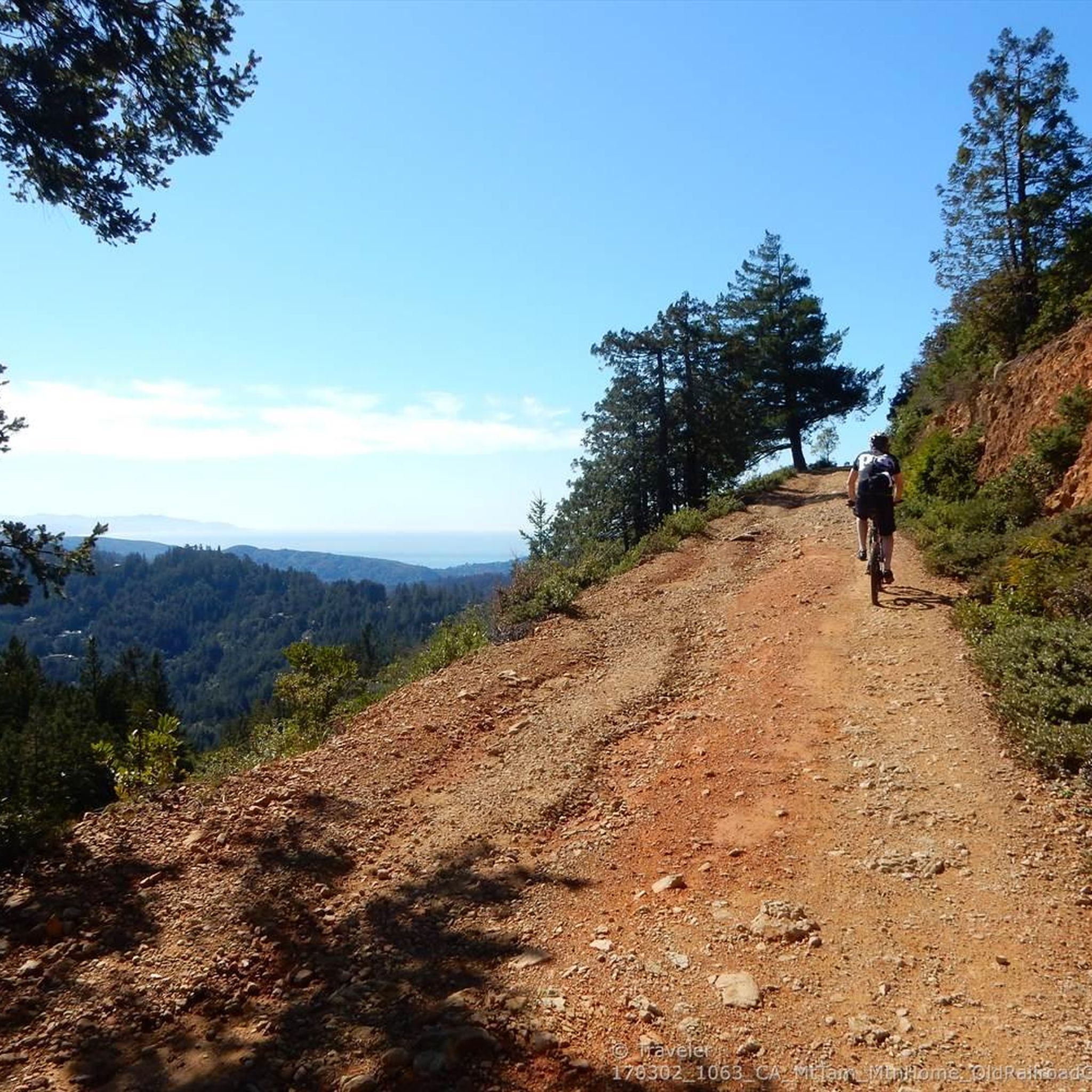
Loma Alta literally translates to "high hill" and is the highest point in the Loma Alta Open Space Preserve. A few different dirt roads and trails lead to the bald summit that looks over the surrounding hillsides.
0
0

With its peak at 1,404-foot (428 m), White Hill is a grassy horseshoe-shaped hill boasting fantastic views of the Marin County Ridge, Mt. Diablo, Loma Alta, and the north side of Mt. Tamalpais. In the spring, you can enjoy blooming lupines, California poppies, blue larkspur, and, if you're lucky, see a swallowtail butterfly or two.
0
0

The view from the start of this trail is amazing with the rolling hills leading into the mountains. There is lush greenery as far as the eye can see as Mount Tamalpais Watershed meets the Cascade Canyon Preserve.
0
0

Along San Geronimo Ridge several stands of Pygmy (dwarf) sargent cypress forest display the uniquely stunted growth on poor soils. More info at https://www.onetam.org/peak-health/sargent-cypress
0
0
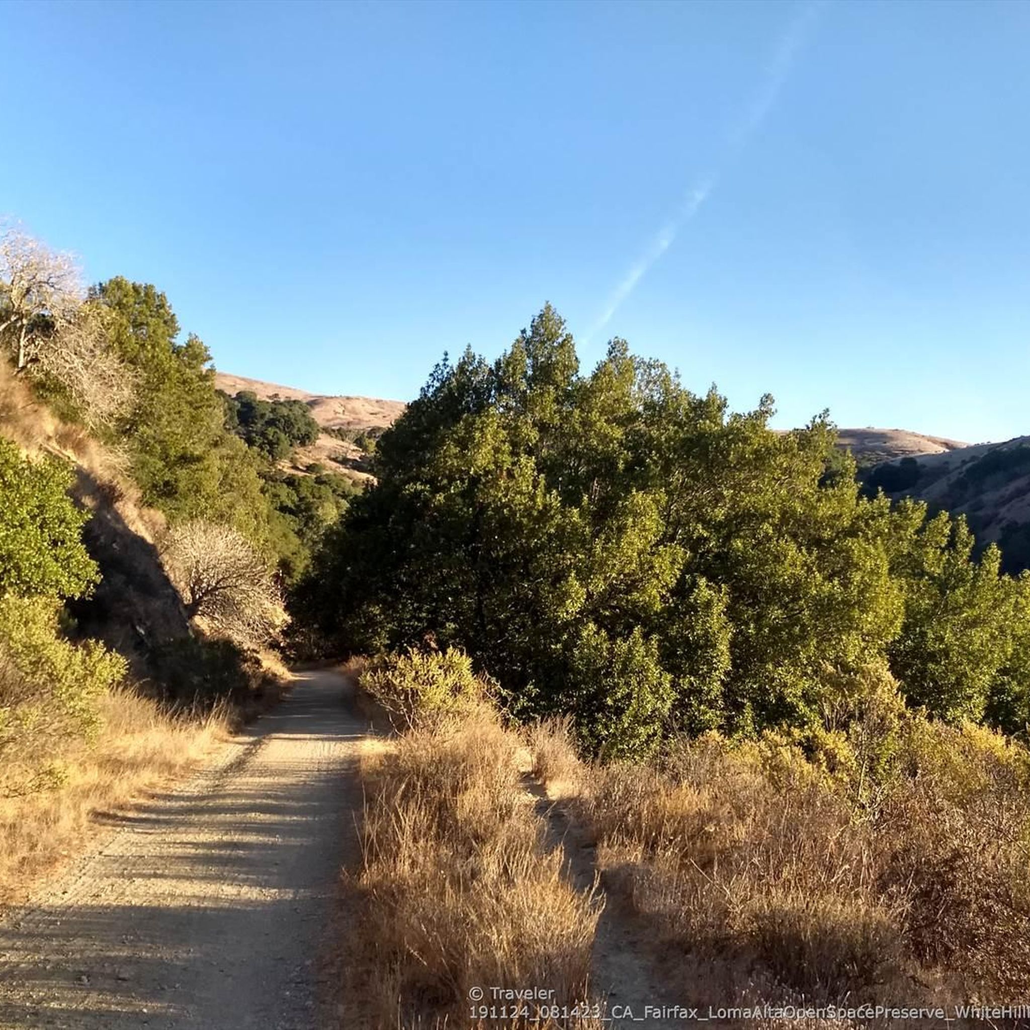
At 1592 feet, Loma Alta is one of the highest points in Marin. For a less strenuous excursion, from the lower Loma Alta Open Space Preserve entrance on the Fairfax side to the White Hill entrance, Old Railroad Grade Fire Road runs along the lower perimeter of the 509-acre preserve. In rainy season, see Fairfax Falls cascading 25 feet. https://www.marincountyparks.org/parkspreserves/preserves/loma-alta
0
0
Enjoy heavenly Bay Area views, especially at sunrise and sunset: Here you can leave the gradual former railroad grade and take the extremely steep Sunrise Fire Road trail to the summit. At 1592 feet, Loma Alta is one of the highest points in Marin. https://www.marincountyparks.org/parkspreserves/preserves/loma-alta
0
0
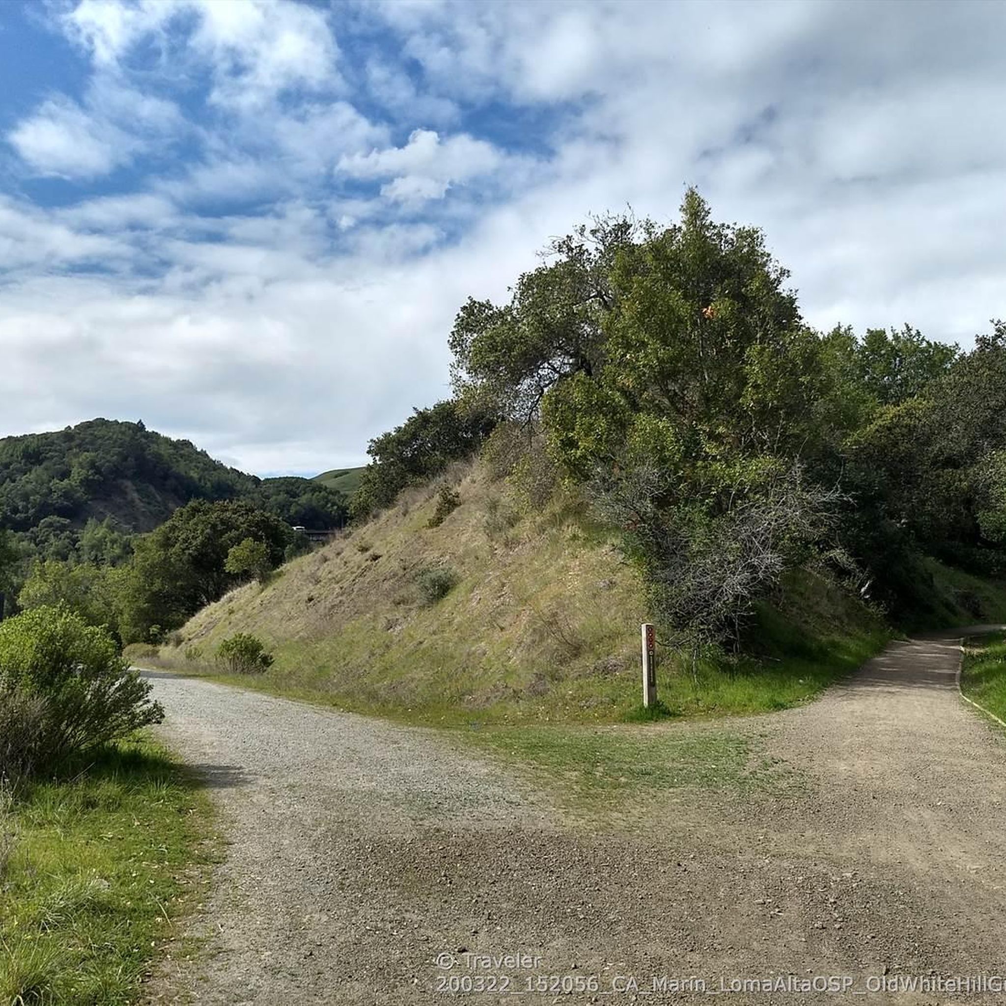
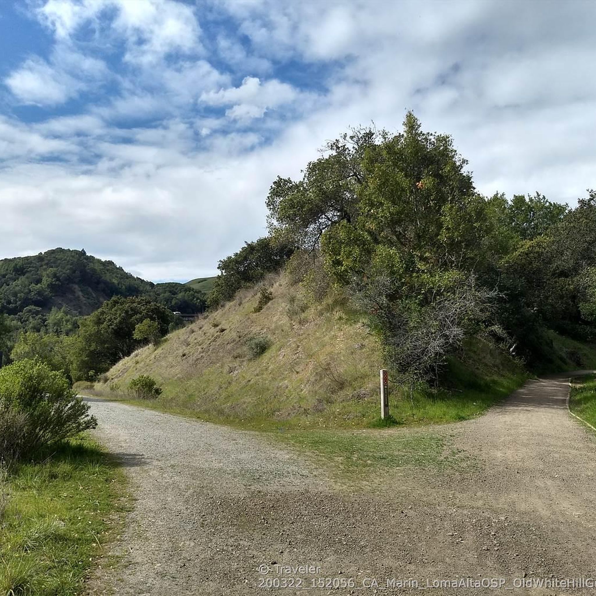
White Hill Trail crosses under Brown Bridge and then climbs steeply to link Loma Alta Preserve ( https://www.marincountyparks.org/parkspreserves/preserves/loma-alta ) with White Hill Preserve ( https://www.marincountyparks.org/parkspreserves/preserves/white-hill ), which further links up with Cascade Canyon Preserve, and Gary Giacomini Preserve.
0
0
Steep switchbacks single track to hike down into the canyon
0
2
Frequently Asked Questions
How many hiking trails are there in Loma Alta Open Space Preserve?
Loma Alta Open Space Preserve offers a wide network of trails, with over 90 routes available for hiking. These trails cater to various fitness levels, ranging from easier grades to more challenging climbs.
What kind of terrain and landscapes can I expect while hiking in Loma Alta Open Space Preserve?
The preserve features diverse landscapes, including open grasslands, dense California bay woods, and woodlands with white and coast live oaks. You'll also find canyons and creekbeds, adding topographical interest. The trail system primarily consists of fire roads, with some singletrack options available.
What panoramic views can I expect from Loma Alta Open Space Preserve?
From the summit of Loma Alta, you can enjoy breathtaking 360-degree views. These include Mount Tamalpais, the San Francisco Bay and skyline, the Richmond/San Rafael Bridge, the East Bay hills, Tiburon, Mount Diablo, Lucas Valley, Big Rock Ridge, and the Fairfax/San Geronimo Valley.
Are there any notable natural features or landmarks to see along the trails?
Yes, depending on the season, you might encounter early wildflowers like California poppies and lupines. During wetter periods, a 'surprising waterfall' known as Fairfax Falls can be found in a rocky grotto. The preserve also features the historic Old Railroad Grade Trail.
When is the best time to hike in Loma Alta Open Space Preserve?
Loma Alta offers seasonal delights. Winter and early spring are ideal for spotting wildflowers and experiencing the seasonal waterfall. However, be prepared for potentially muddy conditions during this wetter period. During warmer months, sunblock and plenty of water are recommended due to exposed grasslands.
Are there family-friendly hiking options in Loma Alta Open Space Preserve?
Yes, the preserve offers a variety of hiking experiences, including trails with easier grades suitable for families. The diverse network allows you to choose routes that match your family's activity level.
Are dogs allowed on the trails in Loma Alta Open Space Preserve?
The preserve is generally dog-friendly, but it's always best to check local regulations for specific trail rules regarding leashes and waste disposal to ensure a pleasant experience for everyone.
What do other hikers enjoy most about Loma Alta Open Space Preserve?
The area is highly rated by the komoot community, with an average score of 4.9 stars. Hikers often praise the stunning panoramic views, the diverse ecosystems, and the variety of trails that cater to different fitness levels. Many appreciate the quiet atmosphere on the ridge trails.
Are there any challenging trails for experienced hikers?
Yes, while there are easier and moderate options, Loma Alta Open Space Preserve also features trails with challenging climbs that provide excellent exercise. For example, the San Geronimo Ridge Road via B-17 Trail loop is a difficult route with significant elevation gain.
Can I find circular hiking routes in the preserve?
Yes, Loma Alta Open Space Preserve offers several loop trails. A popular moderate option is the White Hill Trailhead loop from Woodacre, which covers varied terrain. Another well-liked route is the White Hill and B-17 crash loop.
What is the significance of Loma Alta Open Space Preserve in terms of watersheds?
Loma Alta plays a crucial ecological role as it divides four major watersheds: Miller, Corte Madera, Lagunitas, and Nicasio Creeks. This contributes to the diverse natural environment found within the preserve.
Most popular routes in Loma Alta Open Space Preserve
Most popular attractions in Loma Alta Open Space Preserve

Get inspired with the komoot mobile app


Explore more
Browse the best Hikes in other regions.
